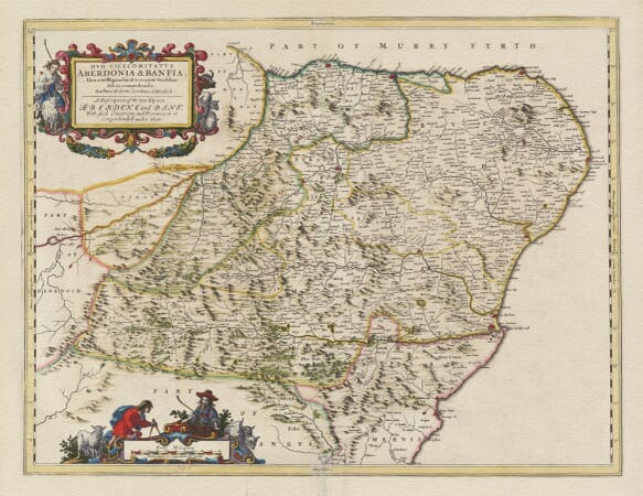
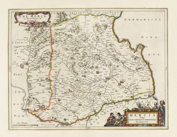
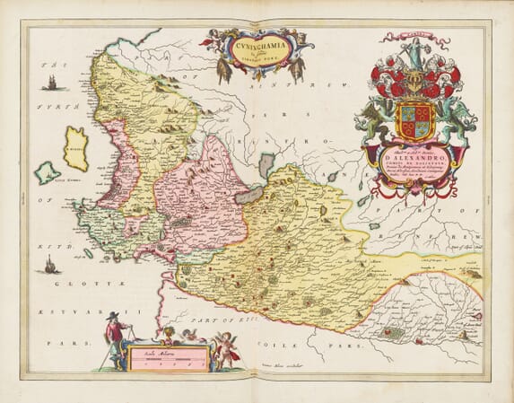
This collection brings together old maps of Scotland at national, regional, county and island scales.
It has a particularly strong representation of Joan Blaeu’s Atlas of Scotland, published in 1654, together with national maps by John Speed and later works of Scottish cartography. The maps preserve historic boundaries, coastlines, rivers, lochs, settlements and earlier forms of familiar place names across the mainland and islands.
Each map is reproduced from a historic original, retaining the engraved detail, colour and individual character of the source.
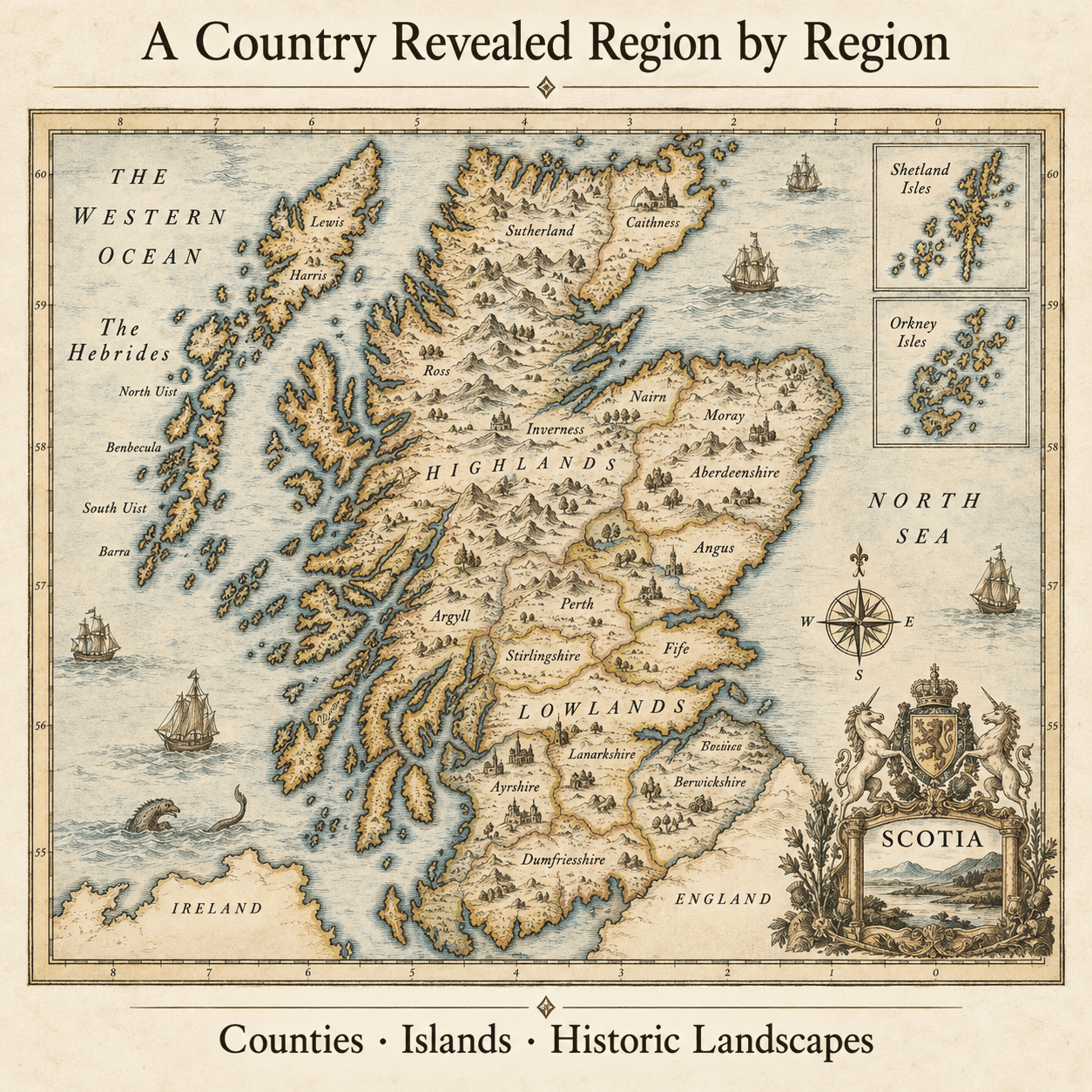
Scotland in the Age of Blaeu - A Country Revealed Region by Region
Scotland’s mountains, islands and long, deeply indented coastline made it difficult to compress into a single early map. Regional maps provide a richer view. They follow river valleys into the interior, trace lochs and sea passages, and record castles, estates, churches and small communities far beyond the principal burghs. Together they form a striking portrait of a varied country.
Joan Blaeu’s Scottish Atlas
Published in Amsterdam in 1654, Joan Blaeu’s Atlas of Scotland was the first atlas devoted to Scotland. Its national, regional and island maps brought together a remarkable body of geographical information, recording settlements, estates, rivers, lochs and coastal features across the country. Expressive hills, coloured boundaries and elaborate cartouches sit alongside dense networks of historic place names, with each plate having its own composition and character.
Recognising Old Scotland
Modern viewers can follow familiar places across these maps, but the landscape does not always behave as expected. Orientation may vary, settlement symbols are conventional and spellings preserve older forms. Modern roads, reservoirs, industrial towns and expanded suburbs are absent. The result is not a modern survey, but an absorbing encounter with Scotland before later development transformed its communities.
Maps for Regional and Family History
Scotland’s geography makes regional mapping particularly valuable. Mountain ranges, glens, islands, sea passages and river valleys often shaped communication between communities more strongly than straight-line distance. A regional or island map can therefore provide context for settlements that appear isolated on a modern national map.
Historic spellings and settlement symbols require careful interpretation, but they can help identify the landscape associated with a family, estate or local tradition. Read alongside written records, these maps show how places were related before modern roads, reservoirs, industrial development and expanding towns altered the landscape.