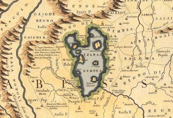
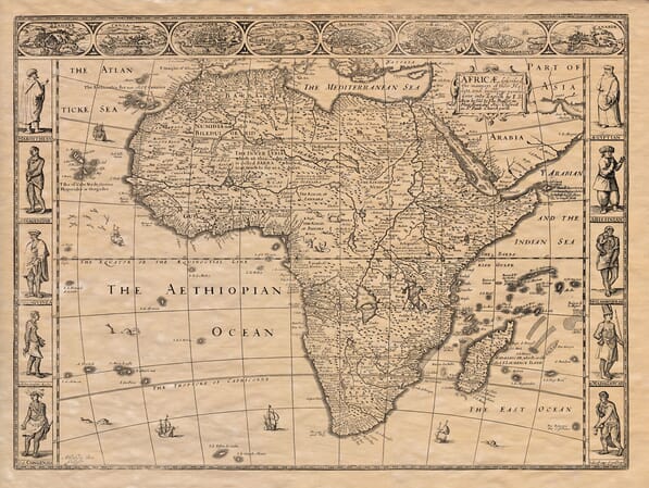
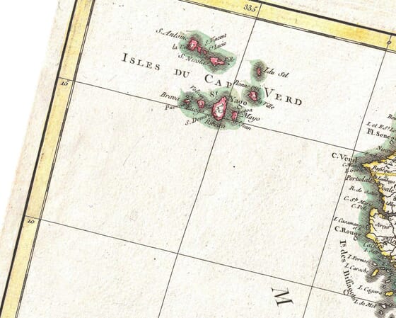
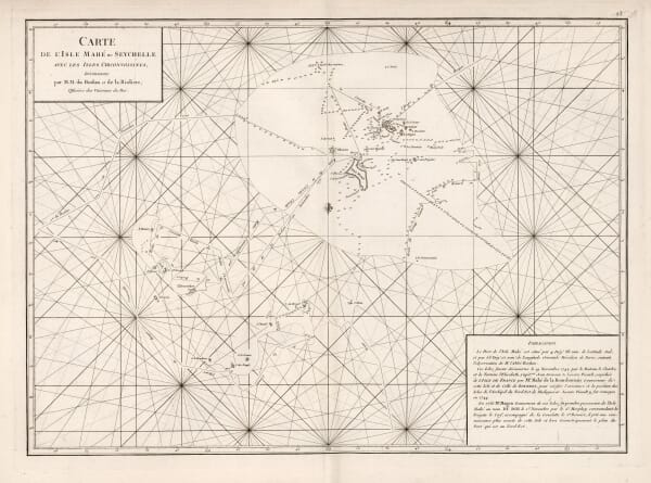
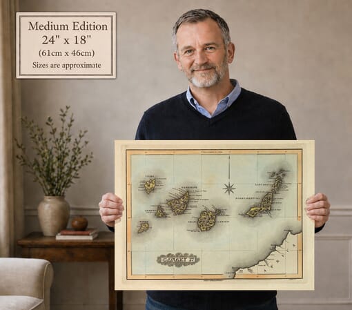
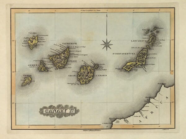
Historic maps of Africa record the continent through the geographical knowledge, conventions and political assumptions of their own period. This collection ranges from maps of the entire continent to works devoted to Egypt, Morocco, Madagascar, Senegal, Cape Verde, Abyssinia and other historic regions.
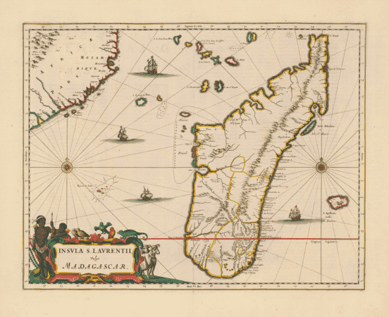
Coastlines and ports were often mapped with greater confidence than the interior. Older place names, speculative geography and changing boundaries reveal how information was gathered, interpreted and repeated by European mapmakers. Works by John Speed and other influential cartographers combine this geographical evidence with engraved city views, ships, figures and elaborate cartouches.
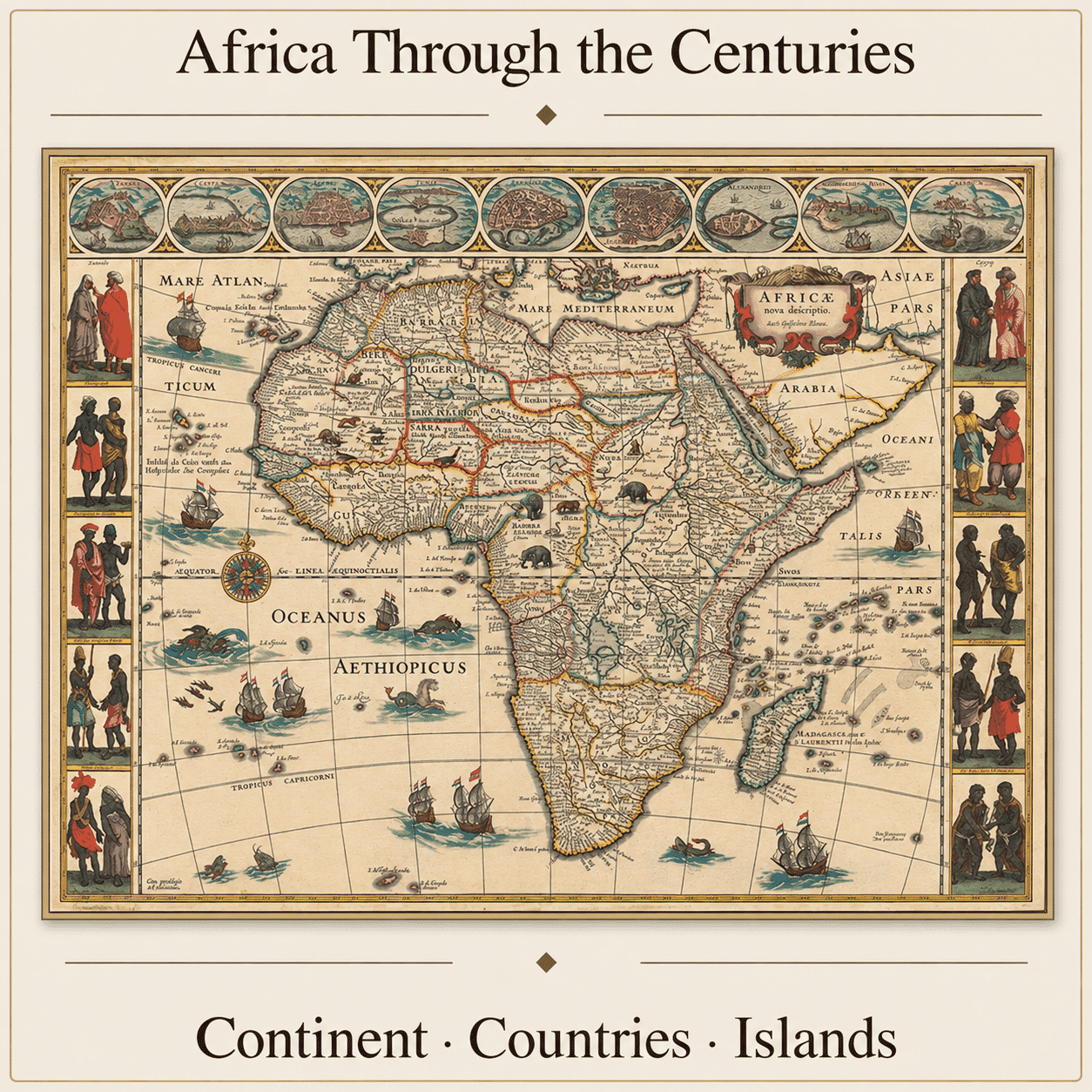
Historic maps of Africa often reveal an intriguing contrast between detailed coastlines and a less certain interior. Ports, capes and islands were recorded through navigation and trade, while rivers, mountain ranges and inland kingdoms could be based on reports gathered over many years. What appears inaccurate today is part of the map's historical value: it shows which places were known, which were misunderstood and which remained beyond the mapmaker's evidence.
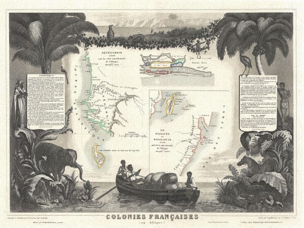
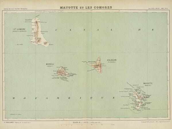
Alongside maps of the whole continent are more focused works showing North Africa, the Atlantic islands, southern Africa and individual countries or territories. Earlier names may differ greatly from modern usage, while political boundaries reflect kingdoms, colonial claims or geographical ideas that have since disappeared. These maps should be read as documents of their time rather than modern statements of identity or borders.
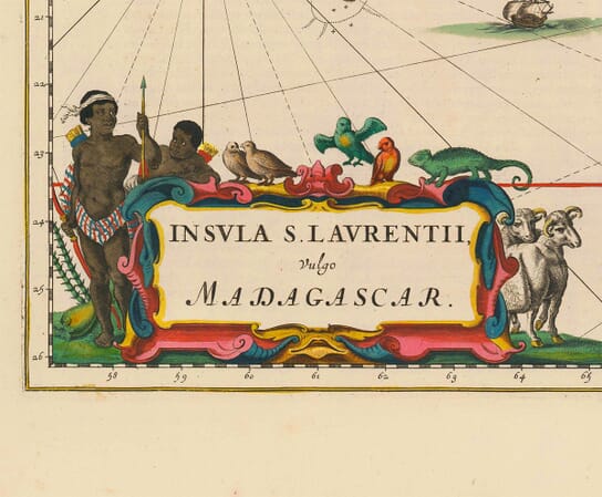
Many early maps combine geography with imposing title cartouches, sailing ships, animals and figures. Such imagery reflects European artistic convention and contemporary ideas about distant lands. The engraving can be exceptionally beautiful, but it also invites closer thought about who made the map, the information available to them and the audience for whom it was produced.
A continental map makes a bold decorative piece, while a country or island map offers a more personal connection to family history, travel or a favourite place. Reproduced with close attention to engraved detail and original colour, these prints retain the visual richness and historical complexity of the source maps.
Modern fine art reproductions of historic maps, rather than original antique sheets.