Joan Blaeu’s Old Map of Historic Galloway
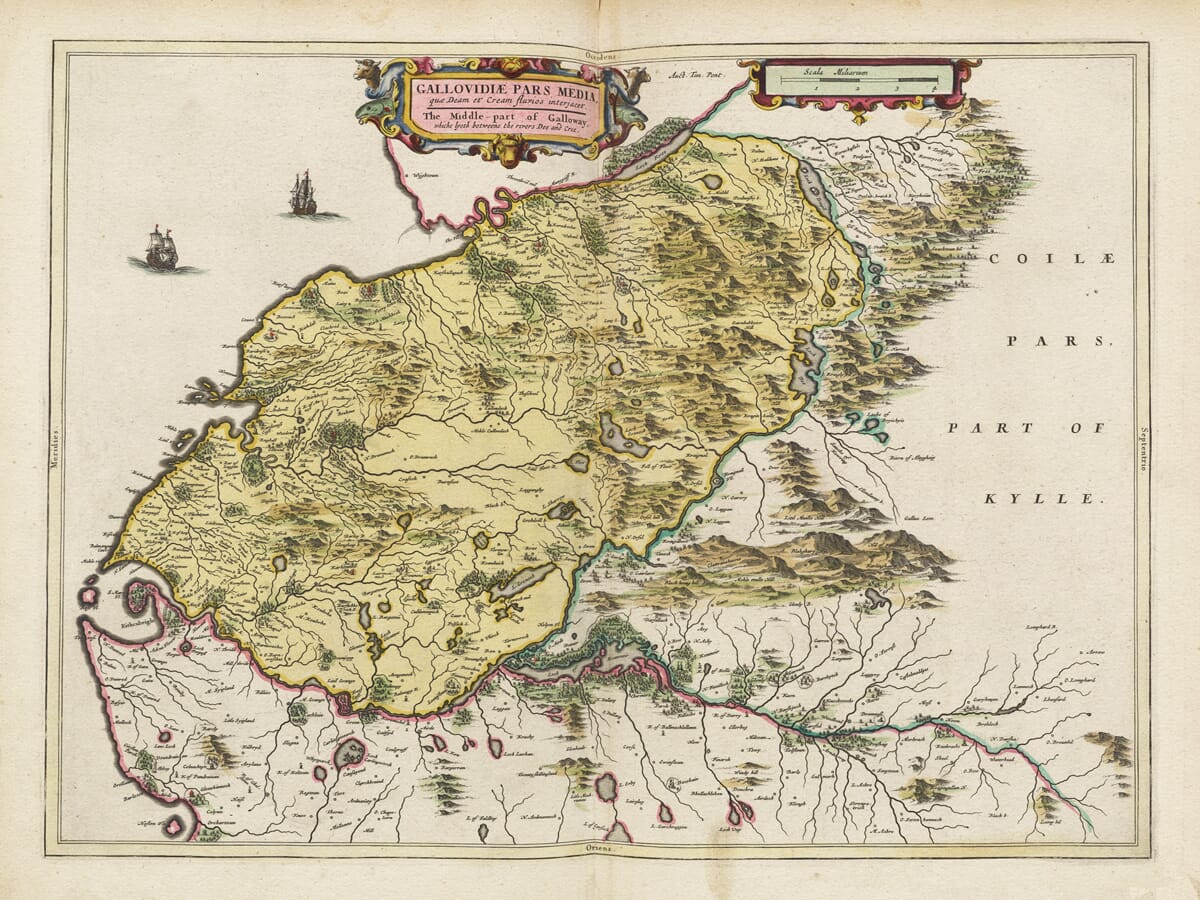
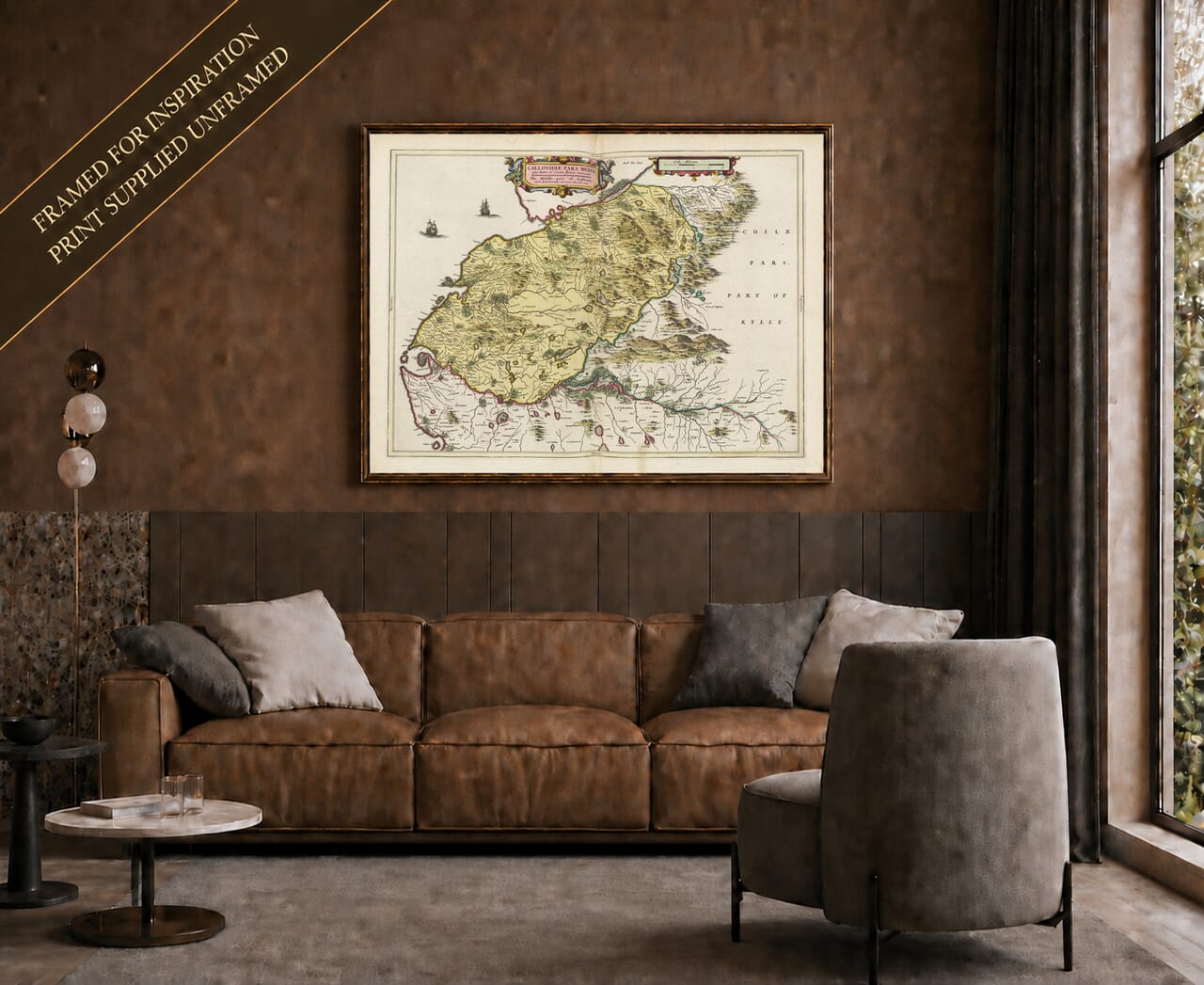
Joan Blaeu’s map of Galloway was published in Amsterdam in 1654 as part of the fifth volume of his Theatrum Orbis Terrarum, sive Atlas Novus. Entitled Gallovidia, vernacule Galloway, it presents the name of the region in Latinised and familiar Scottish forms.
The map was based upon surveys made by the pioneering Scottish cartographer Timothy Pont towards the end of the sixteenth century. Pont’s local observations gave Blaeu access to a wealth of geographical information that would otherwise have been impossible to assemble from his workshop in Amsterdam.
Map details
- Original title: Gallovidia, vernacule Galloway
- Area depicted: Historic Galloway, including Wigtownshire and Kirkcudbrightshire
- Original surveyor: Timothy Pont
- Publisher: Joan Blaeu
- Published: Amsterdam, 1654
- Atlas: Theatrum Orbis Terrarum, sive Atlas Novus, Part Five
- Original format: Copperplate engraving
- Product type: Fine art reproduction print of the historic map
What Area Does the Map Cover?
Historic Galloway occupied the far southwest of Scotland. It extended from the Rhins of Galloway and Loch Ryan in the west through Wigtownshire and the Stewartry of Kirkcudbright towards the River Nith in the east.
This should not be confused with the boundaries of the present Dumfries and Galloway council area, which also includes Dumfriesshire farther east. Blaeu’s Gallovidia concentrates upon the older territory of Galloway, represented principally by Wigtownshire and Kirkcudbrightshire.
The western coastline is formed by the Rhins and the long peninsula reaching towards the Mull of Galloway. Luce Bay cuts deeply into the land, while Wigtown Bay and the estuary of the River Cree divide western Galloway from the country surrounding Kirkcudbright.
Recognisable settlements include Stranraer, Glenluce, Wigtown, Whithorn and Kirkcudbright. Rivers such as the Cree and Dee wind through a landscape filled with early place names, hills, woods, lochs, castles and scattered communities.
The map records these places long before modern roads and railways altered the pattern of travel. Its intricate coastline recalls a world in which boats connected isolated communities and carried people and goods around the Solway Firth, across the North Channel and towards Ireland and the Isle of Man.
Timothy Pont and Scotland’s First Detailed Survey
Timothy Pont travelled extensively through Scotland during the late sixteenth century. His manuscript maps recorded rivers, coastlines, settlements, estates, churches and castles with a level of local detail not previously achieved across much of the country.
Pont died before his proposed atlas could be published. His surviving papers were preserved and later placed in the hands of Scottish scholars who worked with Joan Blaeu to prepare them for publication.
Blaeu’s engravers reorganised and refined this material for an international audience. Latin titles, decorative cartouches and heraldic ornament were added, but the geographical foundations remained rooted in Pont’s journeys through Scotland.
The completed Galloway map therefore represents the work of two very different environments: Pont’s first-hand exploration of the Scottish countryside and Blaeu’s sophisticated seventeenth-century publishing house in Amsterdam.
Galloway in the Seventeenth Century
The landscape encountered by Pont and depicted by Blaeu was largely rural. Hills, grazing land, river valleys and coastal waters supported a dispersed population living among farms, estates, villages and small market towns.
Blaeu’s accompanying description of Galloway emphasised its hills, livestock, fishing and rivers. The country was considered more suitable for grazing than extensive cultivation, while fishing in the sea, lochs and waterways contributed to the local economy.
The region’s position facing Ireland gave it an enduring maritime character. Harbours, sheltered bays and short crossings across the North Channel connected Galloway with communities beyond mainland Scotland. At the same time, its peninsulas, moorland and winding waterways gave parts of the country a remoteness that can still be felt today.
The map appeared during a turbulent period in Scottish history. Religious and political disputes had drawn Scotland into the Wars of the Three Kingdoms, and Galloway would become closely associated with the Covenanters. Blaeu’s engraving does not record these conflicts; instead, it presents the enduring geography beneath the unrest.
Heraldry and Decorative Cartography
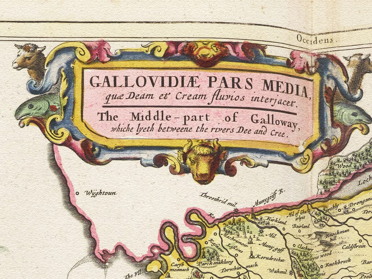
A prominent heraldic composition occupies the upper-right part of the map. The map was dedicated to Alexander, Earl of Galloway, whose association gave the engraving both local distinction and aristocratic authority.
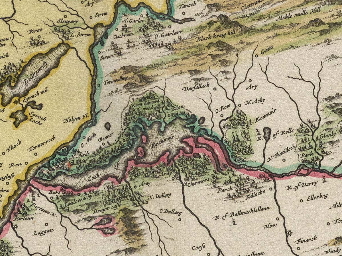
Decorative cartouches, finely engraved lettering and maritime imagery transform the geographical survey into a work designed to be studied and admired. Hills rise in pictorial groups, woodland appears as individual trees and settlements are distinguished through conventional building symbols.
These features should not be interpreted with the precision expected from a modern Ordnance Survey map. Distances and coastlines are approximate, roads are not systematically represented and the relative sizes of symbols do not indicate exact populations. Their value lies in revealing how the region was observed and understood more than three centuries ago.
An Evocative Portrait of Southwest Scotland
Blaeu’s map preserves the distinctive character of Galloway: a country of long peninsulas, open hills, dark lochs, wooded river valleys and shorelines facing towards Ireland and the Irish Sea.
Familiar names emerge from the engraving in early and sometimes surprising forms. For those with family ties to Wigtownshire or Kirkcudbrightshire, the map offers a direct connection with the historic landscape from which those communities grew.
Explore more regional and national cartography in our collection of old maps of Scotland, or compare Blaeu’s detailed regional survey with John Speed’s old map of Scotland.
Reproduced as a fine art map print,
Gallovidia brings the coastlines, settlements and history of southwest Scotland into the home while retaining the decorative presence of Blaeu’s original engraving.





 Verified owner














