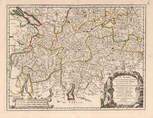
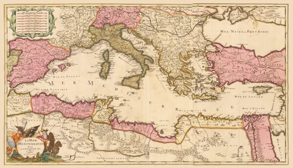
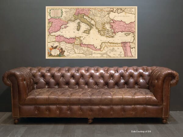
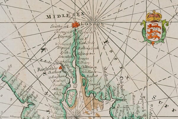
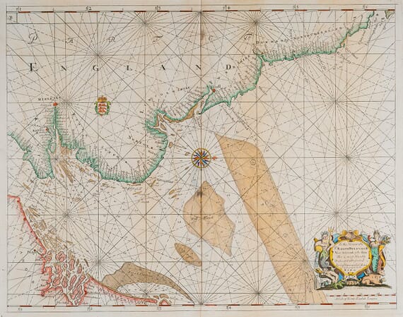
Discover our collection of old maps of Europe, including countries, regions, islands and cities from across the continent. The range covers France, Italy, Spain, Germany, the Mediterranean, the Balkans, Scandinavia, Eastern Europe and many other destinations.
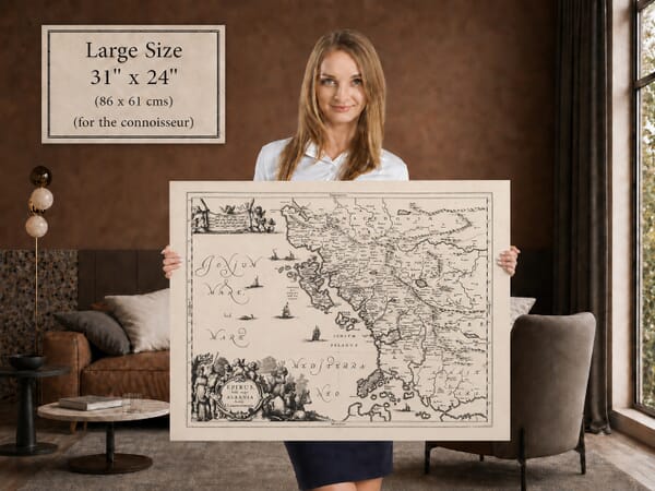
From richly decorated early maps to detailed nineteenth-century surveys, each work preserves historic borders, changing place names and the artistry of European cartography. Our fine art editions are printed individually in Cornwall using archival pigment inks on heavy textured art paper.
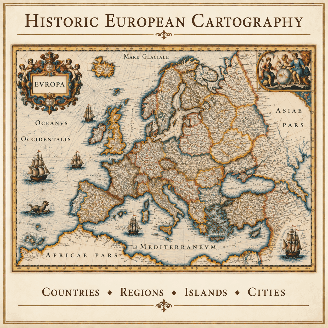
Few parts of the world have been redrawn as often as Europe. Kingdoms expanded and divided, states adopted new names and borders moved through marriage, treaty, war and revolution. Historic maps capture particular moments within that long story. A familiar country may appear within a larger realm, while regions that have since lost political independence are given striking prominence.
The collection ranges from maps of Europe as a whole to works devoted to countries, provinces, islands and cities. Broad maps reveal relationships between seas, mountain chains and neighbouring powers. Regional maps bring the viewer closer to rivers, roads, settlements and small territories. This variety makes it possible to choose an image with wide historical scope or one closely connected to a particular place.
European mapmaking flourished in several centres, including Amsterdam, London, Paris, Venice and Nuremberg. Publishers developed distinctive approaches to engraving, lettering, colouring and ornament. Some maps are crowded with coats of arms, figures and elaborate cartouches; others depend on the quiet precision of fine lines and restrained typography. Both styles reveal the craft behind the printed map.
Old maps of Europe are often chosen because they join visual interest with memory. They may recall a family homeland, a journey, a favourite city or a period of study. At the same time, their obsolete boundaries and spellings offer a reminder that the geography we treat as fixed is always changing. Each reproduction is prepared to retain that historical texture as well as the beauty of the original design.
Modern fine art reproductions of historic maps, rather than original antique sheets.