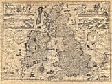
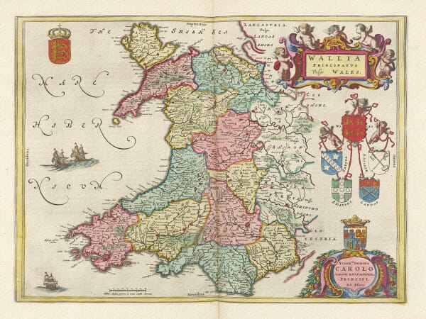
Our collection brings together old UK maps spanning several centuries of British and Irish cartography. It includes national maps of Great Britain, England, Scotland, Wales and Ireland, together with county maps and detailed plans of historic towns and cities.
Among the cartographers represented are John Speed, Joan Blaeu, Christopher and John Greenwood, and other important mapmakers and publishers. Their work records changing boundaries, settlements, roads, estates and the development of Britain’s towns and cities.
Each map is reproduced from a historic original and printed individually in our Cornwall workshop using archival pigment inks on textured fine art paper.
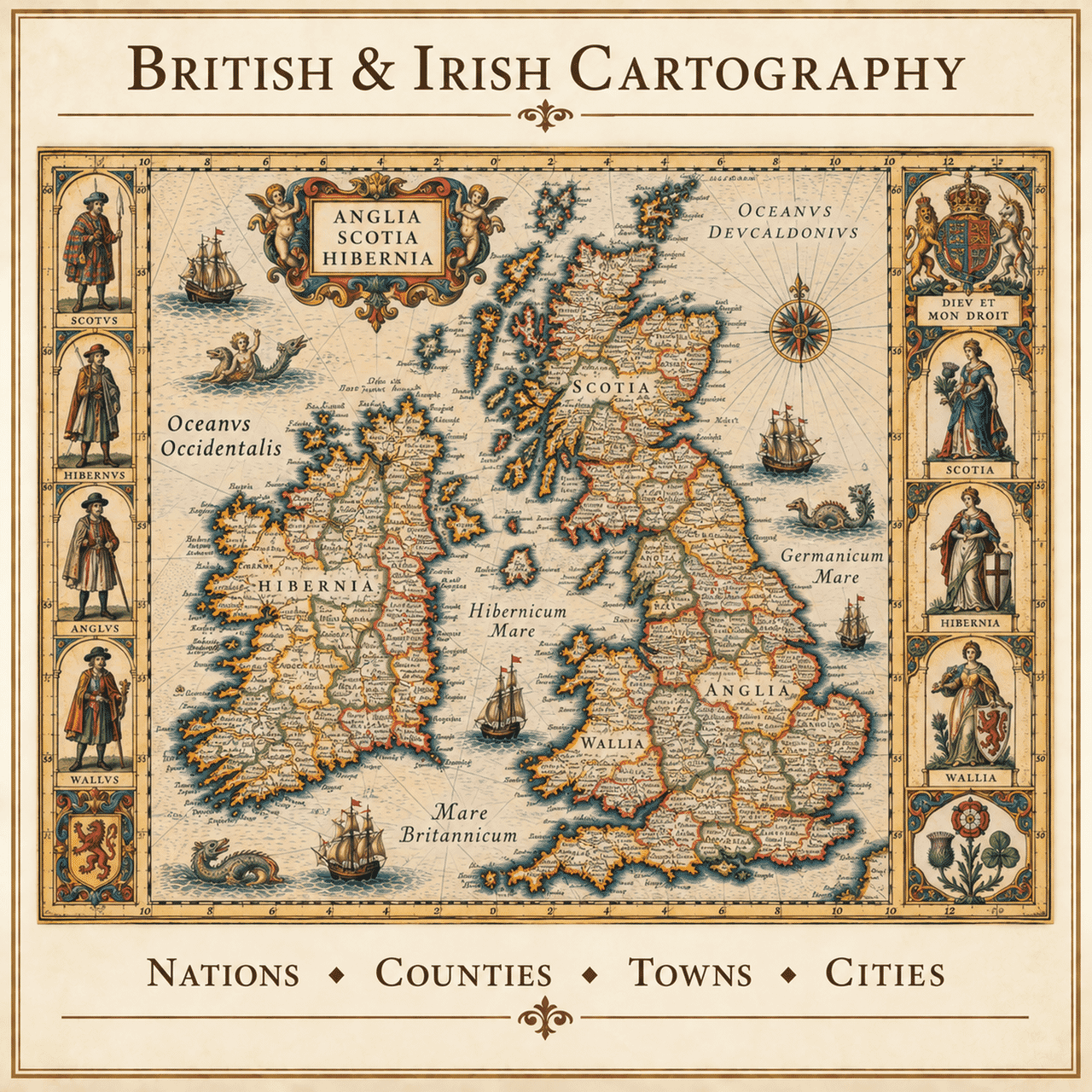
Historic maps of the United Kingdom can be explored at several scales. A map of Great Britain sets England, Scotland and Wales within a single composition; national maps bring greater detail to each country; county and regional maps draw attention to local settlements and estates; town plans lead into individual streets, buildings and landmarks. Choosing the right scale depends on the connection you wish the map to express.
The outlines of Britain and Ireland may seem familiar, but the human geography within them has never stood still. Counties were reorganised, roads and railways transformed travel, industrial towns expanded and old spellings gradually disappeared. Earlier maps preserve the landscape before many of those changes, allowing modern viewers to recognise a place while also seeing how differently it was once described.
John Speed's county maps are admired for their town plans, coats of arms and decorative engraving. Joan Blaeu's Scottish maps offer an exceptionally rich seventeenth-century portrait of regions and islands. Later surveyors and publishers introduced more measured road networks, settlement patterns and administrative detail. The collection reflects these contrasting periods rather than presenting one uniform style.
A national map can commemorate a shared journey or family story, while a county map often creates a more immediate link with home. Town plans are especially suited to streets, schools, workplaces and neighbourhoods that remain part of personal memory. Whichever scale you choose, the aim is the same: to bring the history and visual character of a meaningful place into view.
Modern fine art reproductions of historic maps, rather than original antique sheets.