Old Maps of Scotland

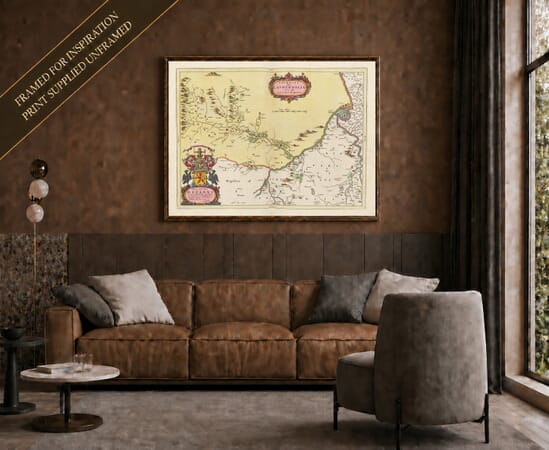
This collection brings together old maps of Scotland at national, regional, county and island scales.

It has a particularly strong representation of Joan Blaeu’s Atlas of Scotland, published in 1654, together with national maps by John Speed and later works of Scottish cartography. The maps preserve historic boundaries, coastlines, rivers, lochs, settlements and earlier forms of familiar place names across the mainland and islands.

Each map is reproduced from a historic original, retaining the engraved detail, colour and individual character of the source.

Historic map of Scotland showing counties, Highlands, Hebrides, Orkney and Shetland

Showing 17–32 of 48 results

×
Product added to cart
No products in the cart.