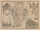
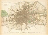
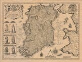
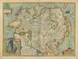
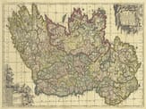
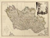
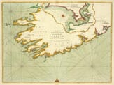
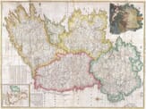
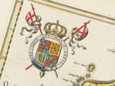
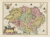
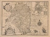
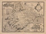
Explore our collection of old maps of Ireland, ranging from decorative maps of the country as a whole to historic maps of its counties, provinces and principal cities.
The selection includes maps of Ulster, Leinster, Connacht and Munster, together with detailed views of Dublin and works by distinguished cartographers such as John Speed, John Rocque and Frederik de Wit. Old county boundaries, rivers, coastlines, settlements and historic place names reveal how Ireland was recorded across several centuries of mapmaking.
These maps offer an absorbing view of Irish geography and history, whether the connection is to a particular county, province, city or to Ireland as a whole.