Discover old sea charts and historic nautical maps recording British coastal waters and some of the world’s most important maritime routes.
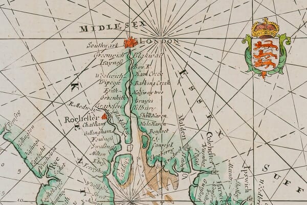
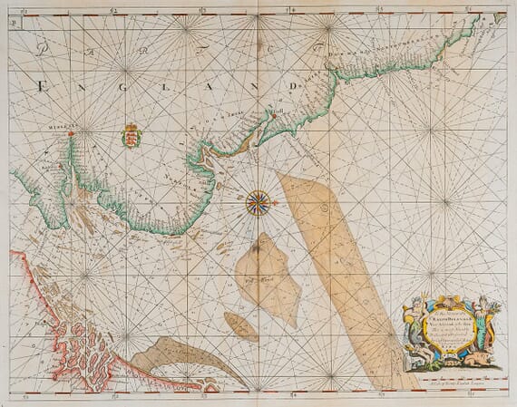
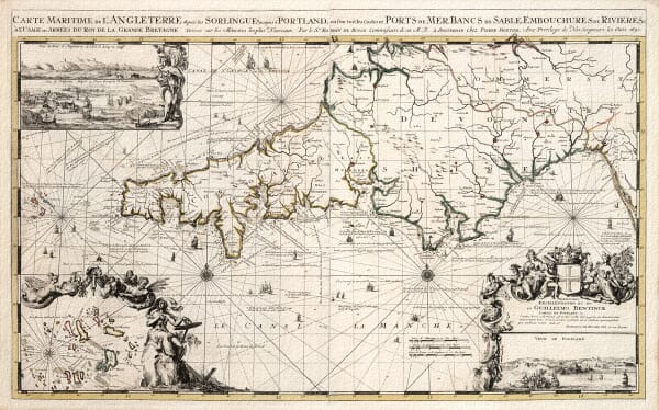
The collection ranges from Greenvile Collins’s seventeenth-century surveys of the British coast to charts by Johannes Janssonius, Pieter Goos, Frederik de Wit and Jacques-Nicolas Bellin. Subjects include the English Channel, North Sea, Mediterranean, African coast, Strait of Magellan and Pacific Ocean.
Each is a fine art reproduction of a genuine historical chart, printed to order in our Cornwall workshop using archival pigment inks on textured fine art paper. These prints are intended for display and historical interest and must not be used for modern navigation.
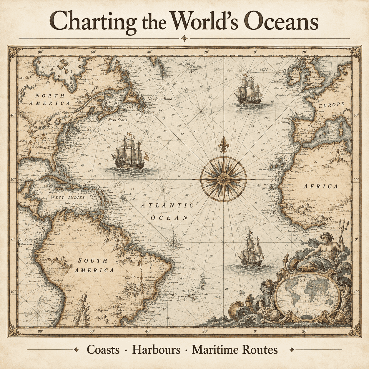
For sailors, the accurate shape of a coastline and the position of a harbour could matter more than the detail of the land beyond it. Nautical charts therefore paid particular attention to headlands, islands, anchorages, channels and approaches to port. Soundings and navigational marks appear on some charts, while others present a broader view of a sea, coastline or trading region.
Compass roses and radiating rhumb lines give many old sea charts their instantly recognisable character. Ships, sea creatures and decorative cartouches enliven the open water, while coastal profiles sometimes record how the land appeared from a vessel offshore. These features varied between publishers, and each chart reflects its maker’s sources, purpose and distinctive visual style.
The collection includes charts associated with important mapmakers and publishers such as John Seller, Greenvile Collins, Johannes Janssonius, Pieter Goos, Frederick de Wit and Jacques-Nicolas Bellin. Their work emerged from a period in which naval power, international trade and geographical knowledge were closely connected. Improved surveys could support safer passage, but they also served commercial, imperial and military ambitions.
Historic sea charts provide evidence of how coastlines, harbours and maritime routes were surveyed and represented at different dates. They can also place local or family connections with seafaring, naval history and coastal communities within a wider geographical setting. These reproductions preserve the character of the original engravings but are not modern navigational charts and must not be used for navigation.
Modern fine art reproductions of historic maps, rather than original antique sheets.