The Isle of Bute in Joan Blaeu’s Atlas of Scotland
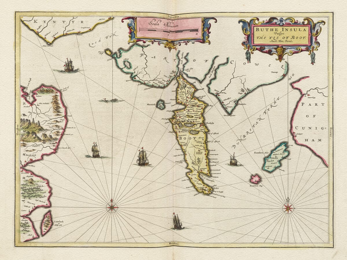
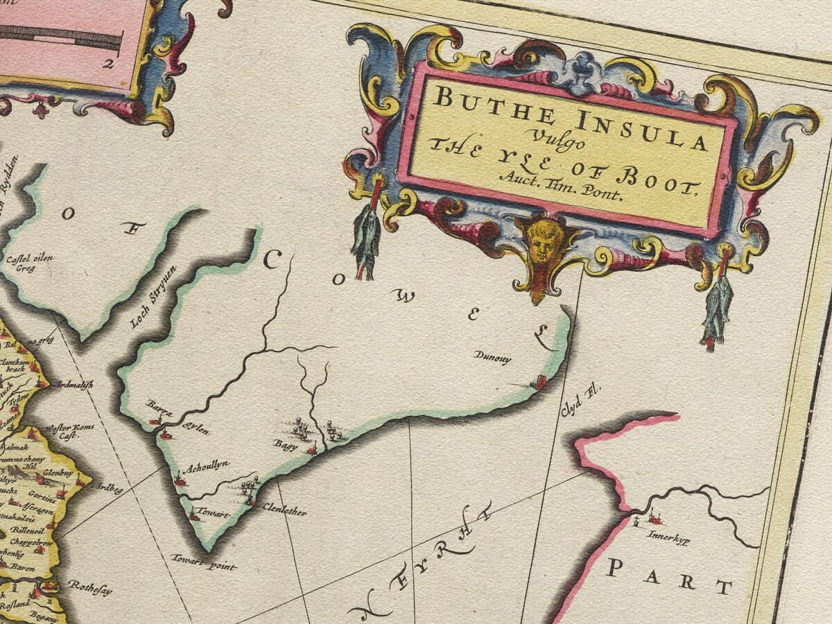
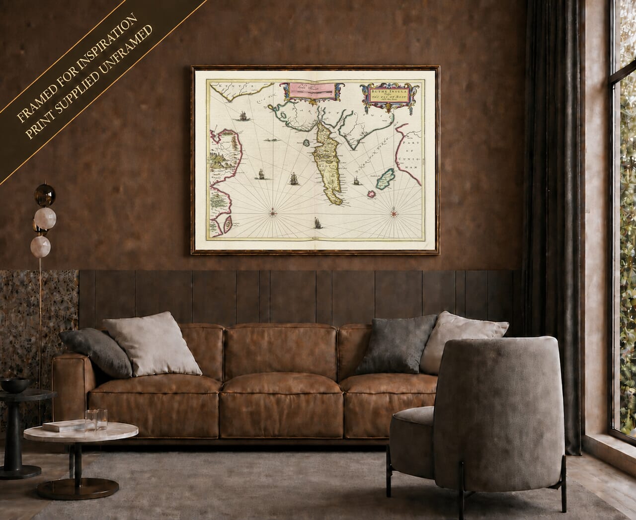
This remarkable seventeenth-century map of the Isle of Bute was published by Joan Blaeu in Amsterdam in 1654 as part of the great Scottish volume of his Atlas Novus. The original title, Buthe Insula Vulgo. The Yle of Boot, identifies Bute in both Latin and contemporary English and acknowledges the pioneering Scottish cartographer Timothy Pont, whose surveys provided the geographical foundation for the map. The National Library of Scotland specifically records The Yle of Boot among the printed maps associated with Pont’s work.
Map Details
- Original title: Buthe Insula Vulgo. The Yle of Boot.
- Survey source: Timothy Pont, acknowledged in the title cartouche.
- Publisher: Joan Blaeu, Amsterdam.
- First published: 1654, in Blaeu’s Scottish atlas.
- Area shown: Bute, with parts of Arran, Cowal, the Cumbrae islands and the neighbouring Clyde shores.
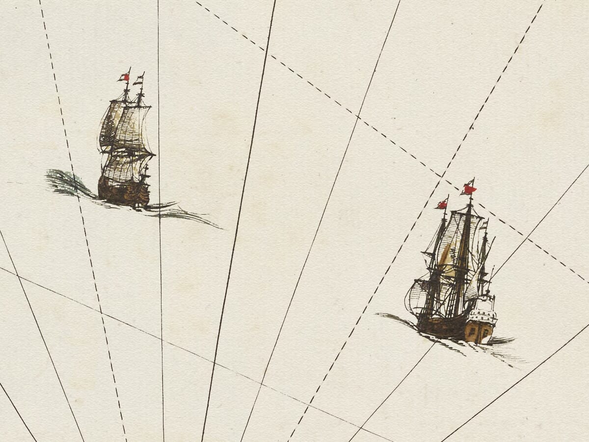
- Orientation: North at the top; compass roses and direction lines appear across the water.
Pont was one of the most important figures in the early mapping of Scotland. During the later sixteenth century he travelled extensively throughout the country, recording coastlines, rivers, settlements, castles and estates at a level of detail that had rarely been attempted before. His surviving manuscript maps provided an extraordinary geographical record of Scotland before the age of modern scientific surveying.
Although Pont did not live to see his proposed atlas published, much of his work survived. During the following decades his maps were examined, revised and prepared for publication, ultimately reaching the celebrated Blaeu mapmaking establishment in Amsterdam. Joan Blaeu’s Scottish atlas of 1654 transformed this accumulated Scottish survey material into a magnificent series of engraved maps intended for an international audience.
The Bute sheet places the island prominently within the waters of the Firth of Clyde. Its distinctive elongated form is immediately recognisable, while the engraved landscape shows rivers, settlements and numerous hills across the island’s interior. As with other maps derived from Pont, the emphasis is not simply on the coastline but on the inhabited landscape, making the map particularly rewarding to examine closely.
The northern part of Bute is shown as considerably more mountainous than the south, reflecting a genuine geographical distinction still apparent today. Numerous pictorial hills were used by seventeenth-century engravers to indicate upland country. These should not be interpreted like modern contour lines: they are conventional representations intended to convey the character of the terrain rather than precisely measured elevation.
Historic place-names are among the map’s greatest attractions. Familiar locations can often be recognised beneath spellings very different from those used today. During Pont’s lifetime spelling was far from standardised, and names could reflect local speech, phonetic interpretation or the conventions of individual copyists and engravers. For anyone interested in Bute’s local history or family connections with the island, these early forms offer a fascinating glimpse into a much older geographical vocabulary.
The map should also be understood as the product of two different periods. Although Blaeu published it in 1654, much of its underlying geographical information derived from Pont’s surveying several decades earlier. The finished engraving therefore preserves something of the late-sixteenth- and early-seventeenth-century Scottish landscape while presenting it through the sophisticated cartographic style of mid-seventeenth-century Amsterdam.
Blaeu’s engraving brought elegance and visual richness to Pont’s practical geographical information. Decorative cartouches, carefully engraved lettering and pictorial topography turned the map into an object intended to be admired as well as consulted. This combination of scholarship and craftsmanship is one of the reasons Blaeu’s Scottish maps remain so highly regarded.
Bute itself occupied an important geographical position. Lying between the Cowal peninsula and Arran and close to the Ayrshire coast, the island formed part of a maritime world in which movement by water was often easier and more important than travel over land. Its castles, settlements and coastal locations therefore belonged to a network extending throughout the Clyde and western Scotland.
Modern viewers should resist judging the map by the standards of an Ordnance Survey sheet. Distances are not consistently precise, roads are not systematically represented, and the shapes of coastlines and hills reflect the surveying and engraving practices of their period. What makes the map significant is precisely this early perspective: it shows how Bute was recorded and understood long before triangulation, railways, steamship services and modern roads transformed both the island and the way it was mapped.
Joan Blaeu’s 1654 publication helped bring detailed maps of Scotland before a European audience on an unprecedented scale. The surviving Scottish atlas material held by the National Library of Scotland includes numerous maps associated with Timothy Pont, including Bute, Arran, Islay, Jura, Skye and many mainland regions.
For anyone with a connection to the Isle of Bute, the map is therefore much more than an attractive seventeenth-century engraving. It preserves historic names and settlements, reflects Timothy Pont’s pioneering Scottish survey work and forms part of one of the defining achievements in the early cartographic history of Scotland.





 Verified owner
















