Old Maps of the Americas

Explore old maps of North America, South America and the Caribbean, reproduced from historic atlases, sea charts and early geographical surveys.

The collection includes maps of America, Canada, California, Mexico, Brazil, Cuba, Jamaica, Cape Horn and the Strait of Magellan, together with wider maps showing the changing European understanding of the New World.

Every print is produced in our Cornwall workshop using archival pigment inks on textured fine art paper. We are a small business, not a poster warehouse, and take personal care with every order.

Showing 1–16 of 32 results

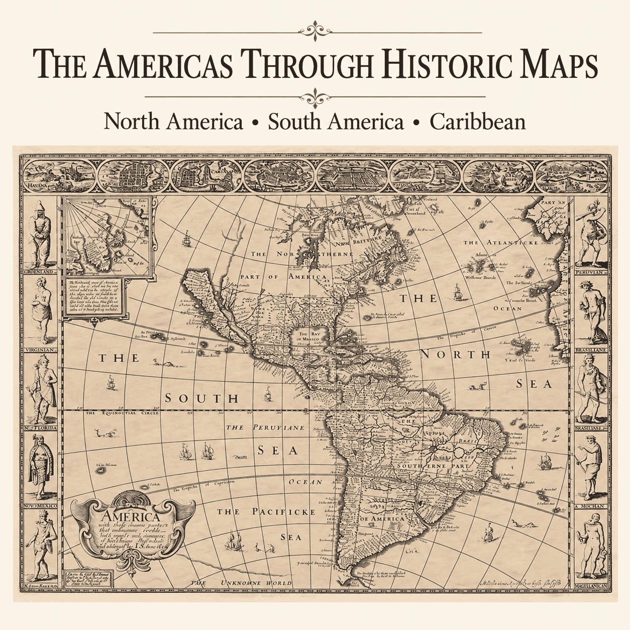
  • Detail from Speed Map of AmericaOld Map of AnericaAdd to Basket This product has multiple variants. The options may be chosen on the product page

    Old Map of America

    Price range: £35.55 through £59.95
  • Detail from Old Map of AmericaOld Map of AmericaAdd to Basket This product has multiple variants. The options may be chosen on the product page

    America 1645

    Price range: £35.55 through £59.95
  • Detail from an old map of AmericaOld Map of AmericaAdd to Basket This product has multiple variants. The options may be chosen on the product page

    America an old map by John Speed

    Price range: £35.55 through £59.95
  • America by Abbot detailAmerica by AbbotAdd to Basket This product has multiple variants. The options may be chosen on the product page

    America by Abbot

    Price range: £35.55 through £59.95
  • Americae Mappa Generalis by HomannAdd to Basket This product has multiple variants. The options may be chosen on the product page

    America by Homann

    Price range: £35.55 through £59.95
  • framed-map-antiguaOld Map of AntiguaAdd to Basket This product has multiple variants. The options may be chosen on the product page

    Antigua

    Price range: £35.55 through £59.95
  • Old map of Saint Lucia by Jacques-Nicolas Bellin, 1758Add to Basket This product has multiple variants. The options may be chosen on the product page

    Old Map of Saint Lucia by Jacques-Nicolas Bellin, 1758

    Price range: £39.95 through £49.95
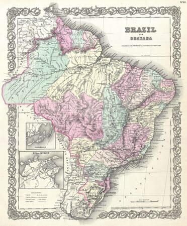
  • brazil map detailOld Map of BrazilAdd to Basket This product has multiple variants. The options may be chosen on the product page

    Brazil and Guyana

    Price range: £35.55 through £59.95
  • Detail from an Old Map of CaliforniaOld Map of CaliforniaAdd to Basket This product has multiple variants. The options may be chosen on the product page

    California

    Price range: £35.55 through £59.95
  • Detail from old map of CanadaOld Map of CanadaAdd to Basket This product has multiple variants. The options may be chosen on the product page

    Canada

    Price range: £35.55 through £59.95
  • Early Map of CanadaAdd to Basket This product has multiple variants. The options may be chosen on the product page

    Canada 2

    Price range: £35.55 through £59.95
  • Detail from an Old Map of Cape HornOld map of Cape Horn and Tierra del Fuego by Willem Blaeu, 1635Add to Basket This product has multiple variants. The options may be chosen on the product page

    Old Map of Cape Horn by Willem Blaeu, 1635

    Price range: £35.55 through £59.95
  • Magellan Map DetailOld Map of ChileAdd to Basket This product has multiple variants. The options may be chosen on the product page

    Chile

    Price range: £35.55 through £59.95
  • Detail from an Old Map of ColumbiaOld Map of ColumbiaAdd to Basket This product has multiple variants. The options may be chosen on the product page

    Columbia

    Price range: £35.55 through £59.95
  • Framed Map of CubaOld Map of CubaAdd to Basket This product has multiple variants. The options may be chosen on the product page

    Cuba

    Price range: £35.55 through £59.95
  • Old Cuba Map detailOld Cuba MapAdd to Basket This product has multiple variants. The options may be chosen on the product page

    Cuba ll

    Price range: £35.55 through £59.95

Mapping the Americas Across the Centuries

A Geography Gradually Redrawn

European maps of the Americas changed dramatically as voyages and surveys supplied new information. Coastlines often became recognisable before inland regions were understood, and older ideas could survive long after contrary evidence emerged. The famous depiction of California as an island is one example of an error repeated through numerous editions and now valued as part of cartographic history.

North, South and the Caribbean

The collection spans an immense area, from Canada and the northern Atlantic to Cape Horn and the Strait of Magellan. Maps of Mexico, Brazil and other countries sit alongside charts of Cuba, Jamaica and the wider Caribbean. Continental views provide historical sweep, while regional and island maps reveal the dense network of ports, settlements and sea routes that shaped exploration and commerce.

Maps and Colonial Viewpoints

These works were largely produced for European audiences and reflect the priorities, claims and language of their makers. Indigenous homelands may be simplified, renamed or interpreted through colonial sources. That limitation is important to recognise. The maps remain valuable historical evidence precisely because they show how geography and power were represented in a particular time and place.

Decorative and Personal Appeal

Elaborate cartouches, ships, figures and strong coastal outlines give many maps of the Americas considerable visual impact. They may be chosen for ancestry, travel, maritime history or a connection with a particular country or island. Careful reproduction retains both the fine engraved detail and the evidence of the map's age

×
Product added to cart
No products in the cart.