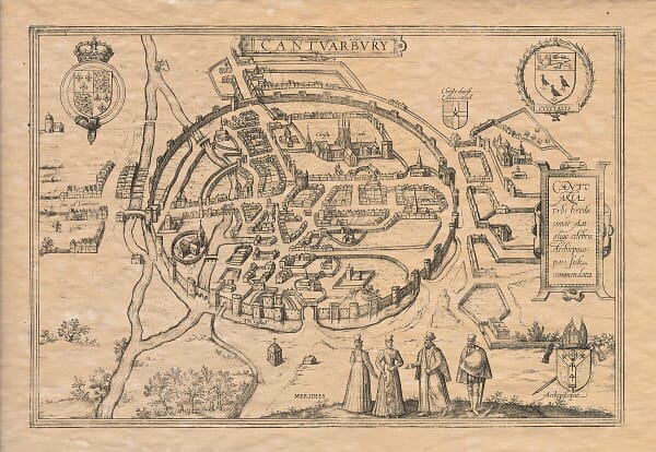
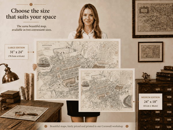
This collection brings together old town plans and historic city maps recording the streets, buildings, landmarks and changing urban structure of towns and cities across Britain and Ireland.
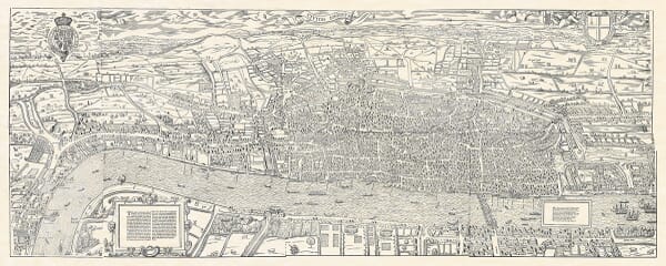
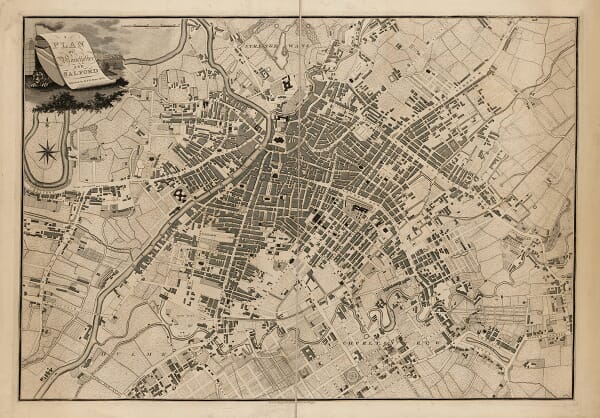
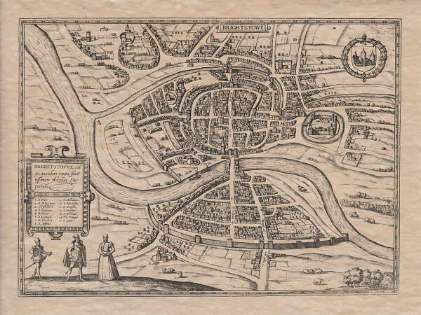
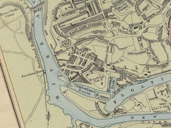
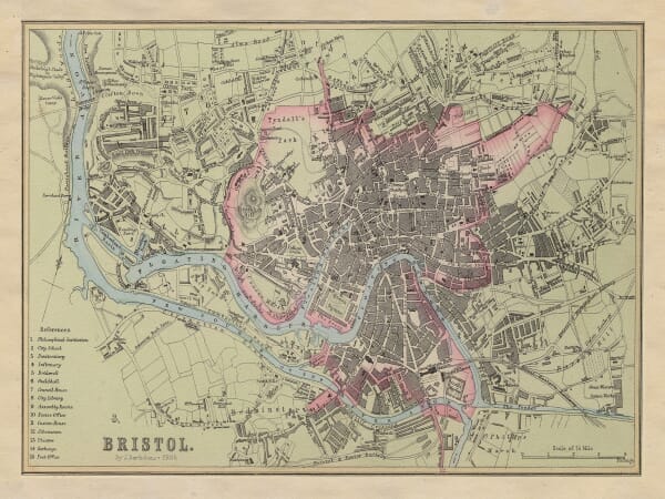
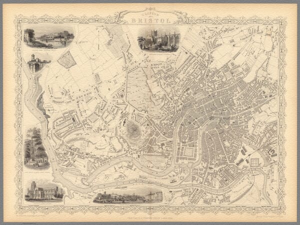
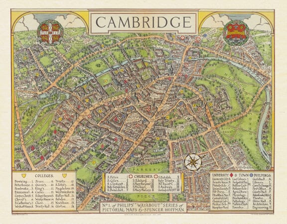
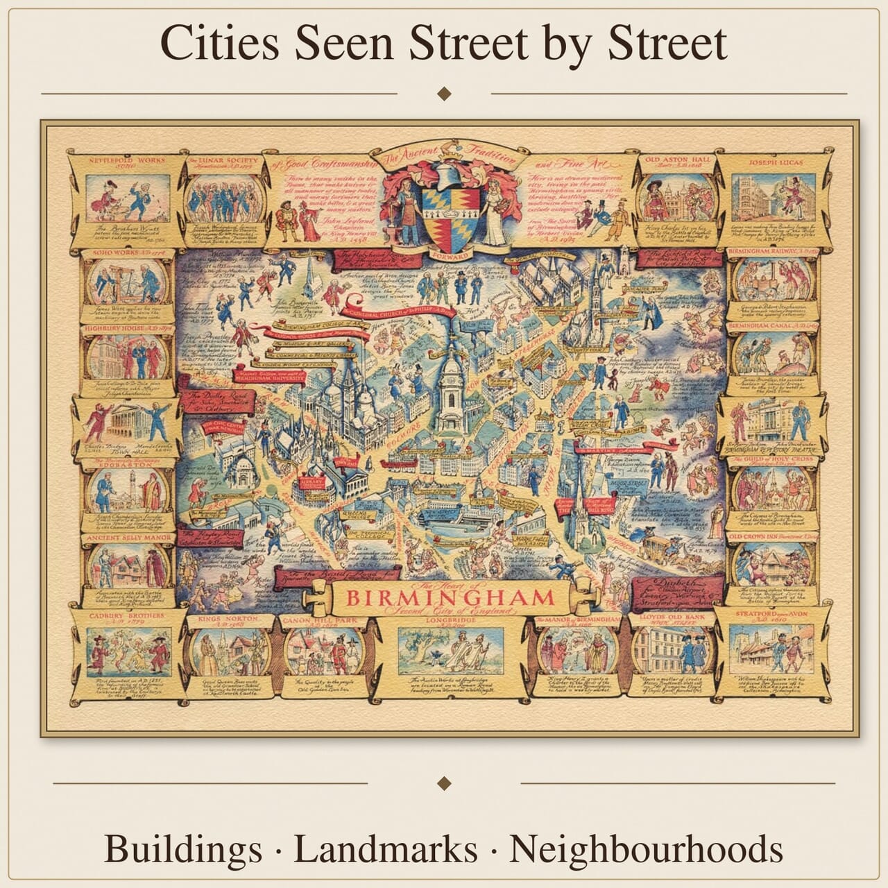
The maps range from measured street plans and early views of London to plans of Birmingham, Bristol, Dublin and other historic centres. Pictorial maps and transport maps provide further evidence of how neighbourhoods developed, how people moved through cities and how familiar urban landmarks changed over time.
For local and family-history research, these maps can place an address, workplace or family connection within the wider setting of the historic town.
Reading the History of a Town Through Its Streets
Cities Before Modern Expansion
A historic town plan can preserve an urban centre at a decisive moment: before the arrival of railways, before industrial suburbs spread into surrounding fields or before wartime damage and redevelopment changed the street pattern. Old boundaries, gates, market places and waterways remain visible, often alongside open ground that is now entirely built over.
Different Ways of Seeing a City
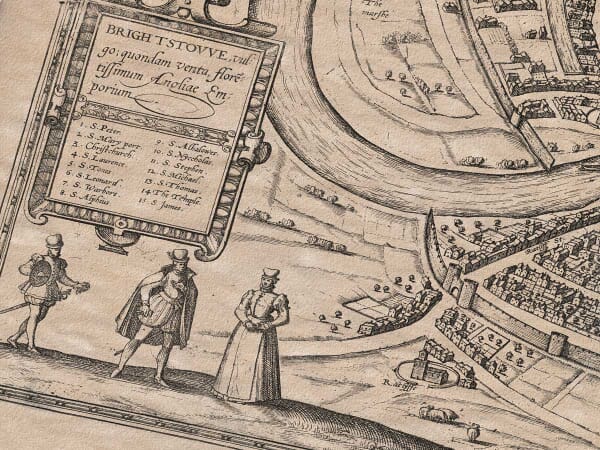
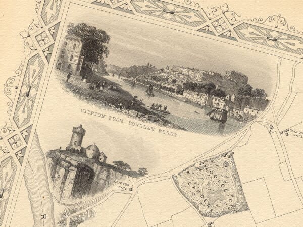
Not all town maps use the same viewpoint. A measured street plan presents roads and plots from directly above, supporting careful comparison with the modern city. A bird’s-eye view tilts buildings towards the viewer, creating a more pictorial impression of roofs, towers and walls. Some county maps include small inset plans that combine local geography with an unusually intimate portrait of the principal town.
Landmarks and Everyday Detail
Major churches, civic buildings, bridges and fortifications naturally command attention, but smaller details can be equally revealing. Alleys, wharves, gardens, mills, canals and early transport routes show how people moved, worked and lived. Street names may survive for centuries even when the buildings around them have changed beyond recognition.
For Local and Family History
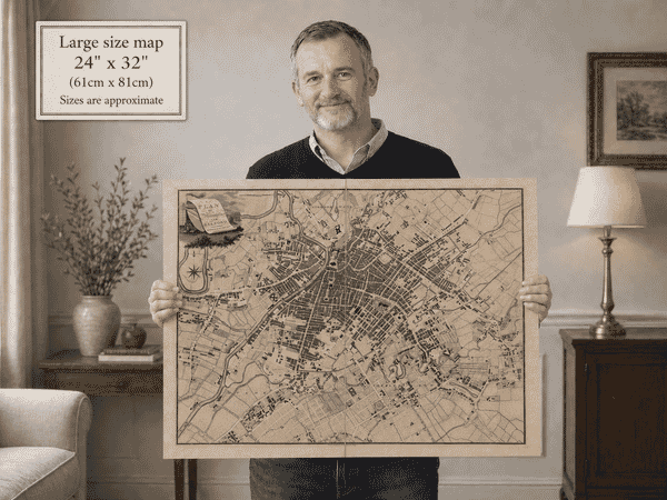
Town plans are especially useful when personal history is tied to a particular neighbourhood. They can provide context for an address, workplace, school or family story and make an absorbing companion to written research. As wall art, they reward both distant viewing and close examination, with dense lines and lettering that gradually disclose the old city beneath the modern one.