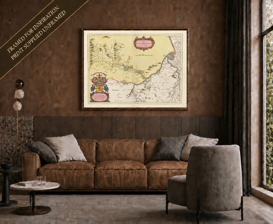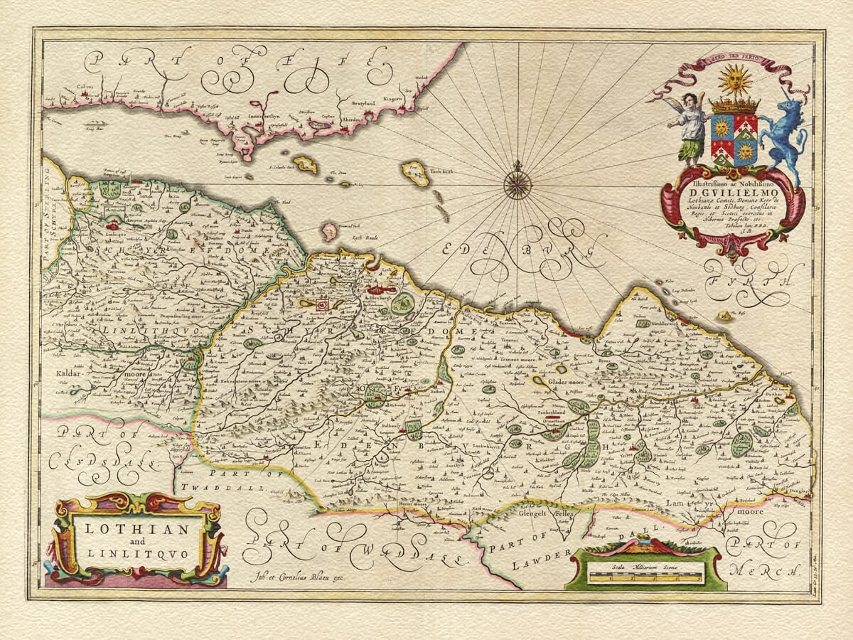
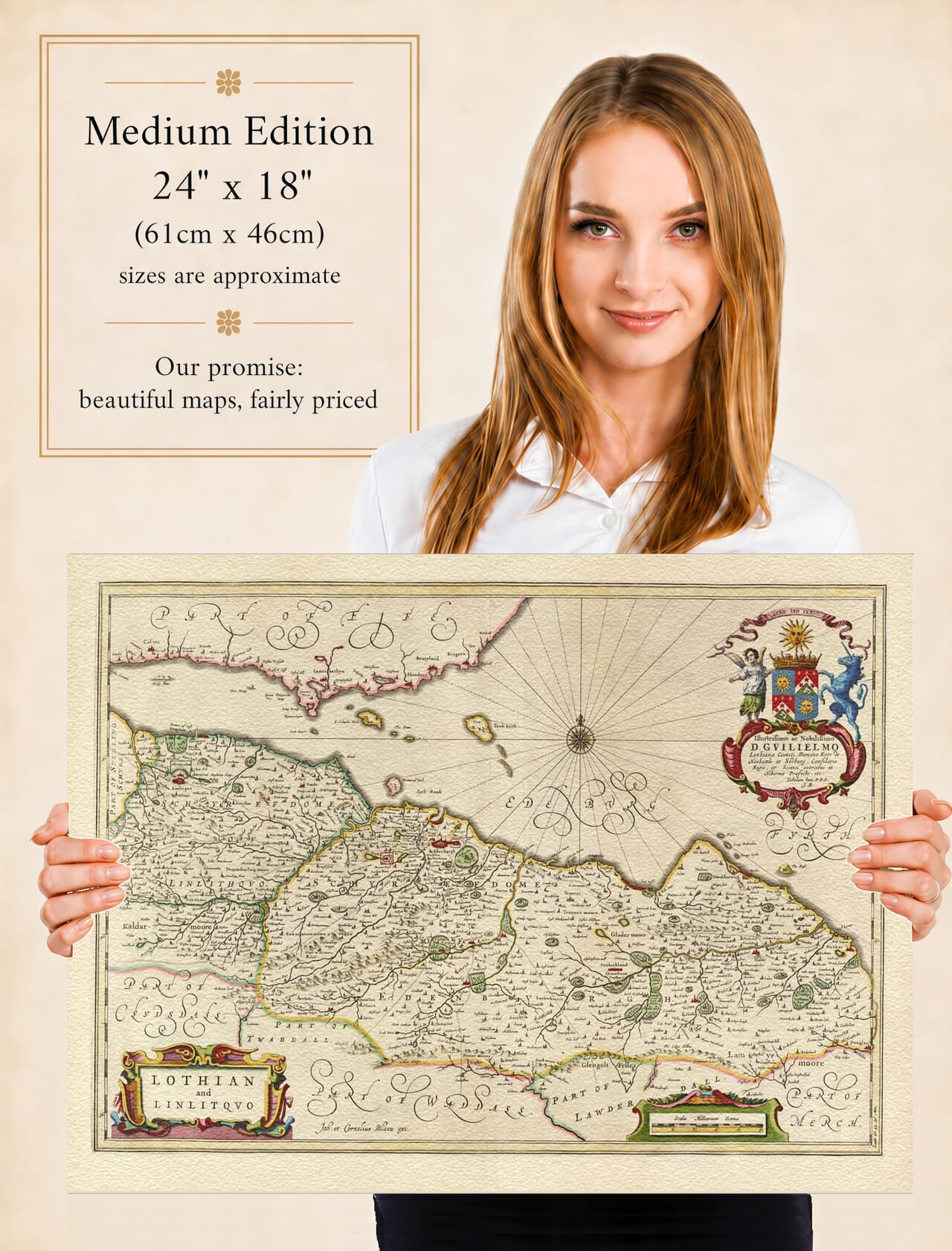
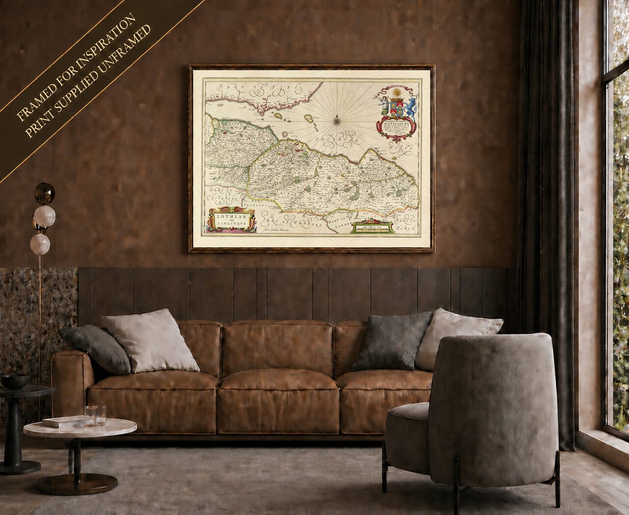



Old map of Moray and Nairn by Joan Blaeu, 1654
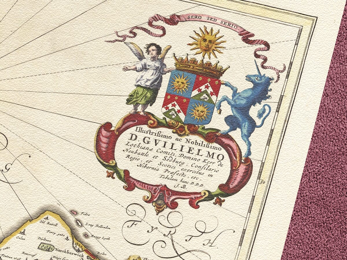
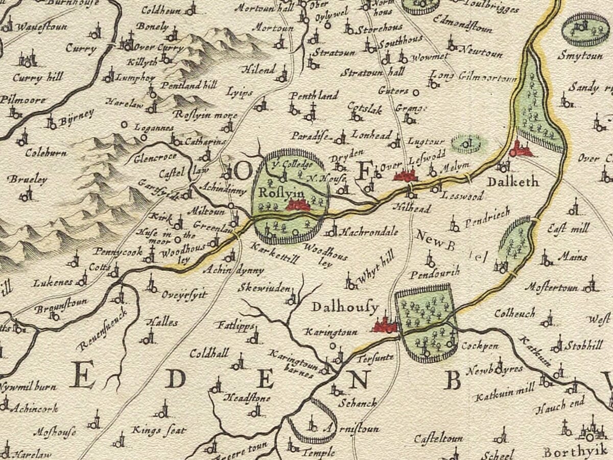
Old map of Moray and Nairn by Joan Blaeu, 1654 Old Map Lothians Old Lothians Map detail

Old Map of Moray and Nairn by Joan Blaeu, 1654

Price range: £35.55 through £59.95

Follow the southern shore of the Moray Firth from Inverness and Nairn through Forres and Elgin towards the River Spey. Published by Joan Blaeu in 1654, this old map captures the meeting of fertile coastal country and the mountains, forests and river valleys of the Highlands.

The map reaches westwards to the River Ness and part of Loch Ness, while the Black Isle and Cromarty Firth appear across the water. Familiar towns are surrounded by smaller communities, castles and estates, many recorded using spellings that belong to a much earlier Scotland.

Richly engraved hills, dark woodland and delicately coloured boundaries make the landscape fascinating to explore. Reproduced as a fine art print on subtly textured paper, it offers an evocative connection with Moray, Nairn and the country beside the firth.
+ read more

A stunning certified FINE ART PRINT on heavy textured art paper — not a poster

  • Direct from the publisher — no middlemen
  • Printed in-house in Cornwall
  • Free UK delivery — international shipping available
  • Produced to meet — and often exceed — museum-quality standards

SELECT SIZE

Inspecting Vintage Map Reproduction

Fine Art Map Reproductions – Museum-Quality Printing

Unlike most online offerings, our maps are produced entirely in-house, not outsourced to print-on-demand or drop-shipping services. This allows complete control over quality while offering better value. Each map begins with a high-resolution original, carefully enhanced and printed to order using archival papers and pigment inks for exceptional clarity, depth, and longevity. Every piece is personally overseen — no map leaves our workshop unless it is of a quality we would be proud to display ourselves.

Hand hold a magnifying glass over West Cornwall Map

Authentic Old Map Paper & Accurate Colour Reproduction

Paper choice is essential to the authenticity of our maps. We use specially sourced 190gsm paper made in the UK from pure materials and traditionally pressed with natural woollen felts. This process creates a subtle, randomly textured surface that closely resembles an original antique document. Likewise the use of premium quality ink fully saturates the paper, producing remarkable clarity, depth, and historical character. Colour fastness and sharpness will remain good for in excess of 100 years!

Map in Postal Tube
Buy Old Maps Online in the UK Today Trading online since 1999

The Old Map Company of Great Britain offers a vast and carefully curated collection of the very finest expertly reproduced vintage maps. Our range includes works by renowned cartographers such as John Speed and Willem Blaeu, covering Scotland, England, and beyond. Free UK courier delivery is included, with EU, USA, and worldwide shipping available at cost and calculated at checkout. If you need assistance, our team is always happy to help you choose the perfect map.

RECENT REVIEWS

Daz
DazGB
Verified ownerVerified owner
5/5

Speedy delivery A beautiful representation

2 months ago
David H
David H
Verified ownerVerified owner
5/5

Got there in time and loves it! Cheers David [Gift from US to UK]

4 months ago
Ellan C-S
Ellan C-S
Verified ownerVerified owner
5/5

Thanks Lauren. We received it today - it's gorgeous! Thank you, Ellan

4 months ago
Ivano Di Battista
Ivano Di Battista
Verified ownerVerified owner
5/5

Thank you for your prompt service. I have a gallery and framing business in South Wales. I'm so pleased it is printed in the UK

4 months ago
Robert B
Robert B
Verified ownerVerified owner
5/5

My Isles of Scilly map arrived safely and I'm delighted with it!

5 months ago
Andrew T
Andrew T
Reviewer
5/5

The print arrived safely and we're delighted with it - a lovely reminder of our honeymoon 15 years ago.

5 months ago
Hannah J
Hannah J
Verified ownerVerified owner
5/5

I have just received them! I'm sure our clients will be pleased with them and there could be more projects off the back of this one where we can use more. [Interior Designers]

5 months ago
Sean MacManus
Sean MacManus
Verified ownerVerified owner
5/5

I just received my map of Ireland by Ewart today and, as usual, I am delighted by its quality. The crispness and fineness of detail is excellent and the colour reproduction surpasses my expectations. Please relay my thanks to Steve for another fine effort!

5 months ago
John G
John G
Verified ownerVerified owner
5/5

Many thanks, Lauren. Very pleased with the map and the service: would recommend The Old Map Company to anyone interested in Old Maps.

7 months ago
Lois K
Lois K
Verified ownerVerified owner
5/5

Thrilled , Lauren! Thank You

7 months ago
Ed Simpson
Ed Simpson
Verified ownerVerified owner
5/5

Many thanks, the map arrived safely this morning, and I’m really pleased with it. A stunning reproduction, just as I had hoped. I will keep browsing your website, and may yet be tempted by more of your items! Have a great weekend.

7 months ago
Daniel McCade
Daniel McCade
Verified ownerVerified owner
5/5

Just arrived, wonderful map! Thanks very much!

8 months ago
Jonathon R
Jonathon R
Verified ownerVerified owner
5/5

The map – beautiful – arrived safely, very many thanks.

1 year ago
Rasa Terbetiene
Rasa Terbetiene
Verified ownerVerified owner
5/5

Thank you, I have already found the map. It’s wonderfull! Good luck! Rasa

4 years ago
Mina M.
Mina M.
Verified ownerVerified owner
5/5

My apologies for the very late reply. I wanted to reach out to thank you so much for rushing my order. My partner absolutely loved it. I am amazed with the service so that is a five-star from me. I wish you all the best.


4 years ago

Joan Blaeu’s Old Map of Moray and Nairn

Joan Blaeu’s map of Moray and Nairn was published in Amsterdam in 1654 as part of his celebrated Atlas of Scotland. Its original Latin title, Moravia Scotiae provincia, ex Timothei Pont schedis descripta et aucta per Robertum Gordonium a Straloch, explains an important part of its history: the map was drawn from the surveys of Timothy Pont and enlarged or revised by Robert Gordon of Straloch.

This combination of Scottish fieldwork and Dutch engraving produced one of the most detailed seventeenth-century maps of the country around the Moray Firth. It records the coastal plain, river valleys, wooded country and Highland approaches long before modern roads, railways and expanding towns altered their relationship with one another.

Timothy Pont and Robert Gordon of Straloch

Timothy Pont travelled extensively through Scotland during the late sixteenth century, undertaking an extraordinary survey of a country that had never previously been mapped in comparable regional detail. He recorded rivers, settlements, churches, castles, estates and landscape features, often working in difficult and remote surroundings.

Pont did not live to see his projected Scottish atlas published. His manuscript maps were eventually entrusted to Robert Gordon of Straloch, an Aberdeenshire landowner, scholar and cartographer. Gordon examined, corrected and supplemented Pont’s surviving work, drawing upon his own geographical knowledge and other available information.

The title of the Moray map gives Gordon unusually prominent credit for this contribution. His revisions helped transform Pont’s working survey into material suitable for Joan Blaeu’s atlas workshop in Amsterdam.

Blaeu’s engravers then translated the Scottish source material onto copperplates, adding carefully arranged lettering, boundary colour and an ornamental cartouche. The finished Scottish volume appeared in 1654 as part of Blaeu’s Theatrum Orbis Terrarum, sive Atlas Novus and became the first printed atlas devoted specifically to Scotland.

From Inverness to the River Spey

The map depicts a much broader area than its modern title might initially suggest. Inverness appears towards the western side, close to the meeting of the River Ness and the Moray Firth. Part of Loch Ness is shown beyond it, leading the eye towards the mountainous country of the interior.

Eastward, the coast passes Nairn, Forres and Elgin before reaching the country around the River Spey. The Black Isle and Cromarty Firth appear across the water in the northwestern portion of the engraving, helping to place Moray within the wider geography of the eastern Highlands.

The Rivers Nairn, Findhorn and Spey descend from the uplands towards the firth. They provide a natural structure for the map, connecting inland glens and scattered settlements with the more fertile and closely populated coastal country.

Elgin occupies an important position near the centre of historic Moray. Its cathedral, royal burgh status and surrounding agricultural lands made it one of northern Scotland’s most significant regional centres. Forres and Nairn also appear prominently, while numerous smaller villages, estates and fortified houses fill the countryside between them.

Historic Moray and Nairnshire

Moray was an ancient province whose historical extent did not always correspond with the later county of Morayshire, also known as Elginshire. Its name was associated with a much wider territory in medieval Scotland, while county and administrative boundaries continued to evolve over subsequent centuries.

Nairnshire was one of Scotland’s smallest historic counties. It occupied the country around Nairn and the lower River Nairn, between Inverness-shire and Moray. Its scattered boundaries and detached portions could make it particularly difficult to represent using modern expectations of county geography.

Blaeu’s map should therefore be understood as a depiction of a historic region rather than a precise representation of present-day council boundaries. It includes adjoining territory where necessary to show rivers, coastlines and the relationships between neighbouring communities.

Reading the Seventeenth-Century Landscape

The density of old place names is one of the map’s greatest attractions. Familiar towns can be found among many smaller communities, estates and strongholds, some of which have disappeared or survive only through the names of farms, roads and local districts.

Hills are represented pictorially, creating an impression of the rising country south of the coastal plain. Woodland appears as groups of individually engraved trees, while towns, churches and castles are indicated through conventional miniature symbols.

These features should not be interpreted as exact architectural portraits or scientifically measured landforms. Roads are not shown systematically, and distances do not always conform to modern mapping. The engraving instead presents the region as Pont and Gordon understood it: a landscape organised by waterways, settlements, estates and natural barriers.

The broad waters of the Moray Firth provide breathing space above the closely engraved countryside. Along the lower-right edge, the Latin title is enclosed within a colourful cartouche, while a separate scale of miles is placed nearby. Compared with some of Blaeu’s more theatrical maps, the decoration is restrained, allowing the geography and extraordinary wealth of place names to dominate.

A Connection with the North of Scotland

This historic county map preserves Moray and Nairn before the growth of modern Inverness, the coming of the railway and the development of today’s transport network. Its rivers, firths and old communities still give the region its identity, but their seventeenth-century setting feels wonderfully distant.

For those whose family story belongs to Elgin, Forres, Nairn, Inverness or the surrounding countryside, the map offers a compelling connection with the north of Scotland. It also makes a distinctive fine art print for anyone drawn to the Moray coast, its open skies and the Highland country rising beyond the firth.

You may also like…

×
Product added to cart
No products in the cart.