Joan Blaeu’s Old Map of Lower Clydesdale and Glasgow
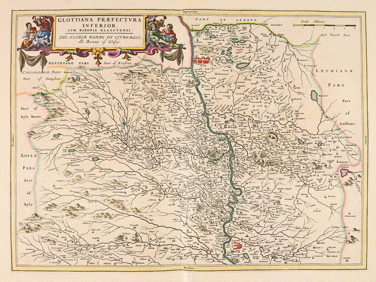
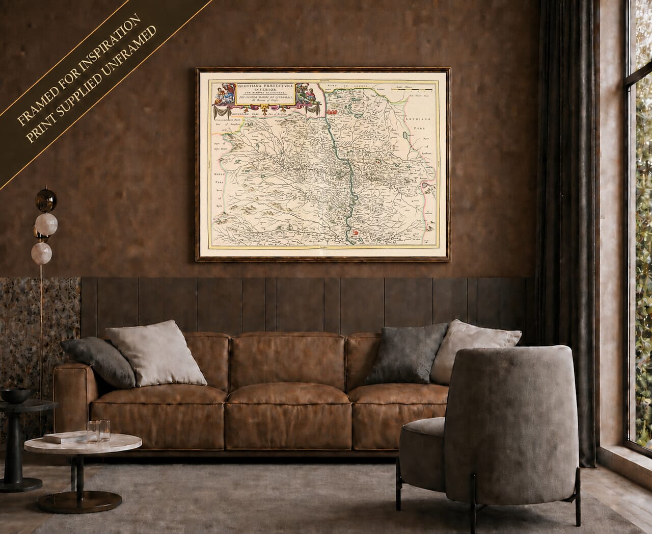
Joan Blaeu’s map of Lower Clydesdale was first published in Amsterdam in 1654 as part of his celebrated Atlas of Scotland. Its imposing title, Glottiana Præfectura Inferior, cum Baronia Glascuensi, is followed by the English description The Nether Warde of Clyds-dail, and Baronie of Glasco.
The inscription Auct. Timoth. Pont identifies Timothy Pont as the original surveyor and cartographer. His detailed observations enabled Blaeu’s engravers to portray the Clyde valley, the Barony of Glasgow and adjoining areas of western Scotland with an extraordinary concentration of place names.
Map details
- Original title: Glottiana Præfectura Inferior, cum Baronia Glascuensi
- English title on the map: The Nether Warde of Clyds-dail, and Baronie of Glasco
- Original cartographer and surveyor: Timothy Pont
- Publisher: Joan Blaeu
- First published: Amsterdam, 1654
- Area shown: Lower Clydesdale and the Barony of Glasgow, extending from Lanark northwards along the Clyde towards Glasgow
- Principal places: Glasgow, Lanark, Hamilton, Bothwell, Rutherglen and surrounding communities
- Source atlas: Joan Blaeu’s Atlas of Scotland
- Product type: Fine art reproduction print of the historic map
Timothy Pont and the Clyde Valley
Timothy Pont travelled across Scotland during the late sixteenth and early seventeenth centuries, creating the first detailed body of maps based substantially upon observation on the ground. He recorded rivers, settlements, castles, churches, estates and landscape features at a time when much of Scotland had never been mapped systematically.
His manuscript survey of Clydesdale survived in unusually extensive form. Pont died before he could publish his planned atlas, but his papers were preserved and eventually sent to Amsterdam with the assistance of Sir John Scot of Scotstarvit.
Robert Gordon of Straloch and his son James helped revise and prepare the material before Joan Blaeu’s workshop transformed it into finished copperplate engravings. The Scottish volume appeared in 1654 as the fifth part of Blaeu’s Theatrum Orbis Terrarum, sive Atlas Novus and became the first printed atlas devoted to Scotland.
The Nether Ward of Clydesdale
Historic Lanarkshire was commonly divided into Upper, Middle and Lower wards. Blaeu’s two Clydesdale plates distinguish the upper reaches of the Clyde from the more densely settled country farther north.
This map follows the river from the vicinity of Lanark towards Glasgow. The Clyde runs prominently through the centre of the engraving, receiving tributaries from the surrounding hills and valleys. Its curving course provides a natural thread through a landscape filled with settlements, estates and fortified houses.
Lanark appears towards the southern edge, close to the point where this plate meets Blaeu’s companion map of Upper Clydesdale. Farther north, Hamilton and Bothwell occupy important positions beside the river. Rutherglen and Glasgow appear within an increasingly close pattern of settlements near the northern part of the map.
Parts of Renfrew, Kyle, Lothian and Lennox are included around the margins, placing Clydesdale within its wider regional setting. Coloured boundary lines distinguish these adjoining territories without overpowering the detailed geography.
Glasgow Before the Industrial City
The Glasgow shown by Blaeu bears little resemblance to the great industrial city that emerged during the eighteenth and nineteenth centuries. It appears as a small but important urban and ecclesiastical centre surrounded by farmland, estates and separate villages.
The medieval cathedral and university already gave Glasgow considerable status, while the Clyde connected the settlement with communities throughout the valley. However, the river had not yet been extensively deepened and engineered for large-scale commercial shipping. The docks, shipyards, railways and industrial districts associated with later Glasgow still lay far in the future.
Many places now regarded as parts of Greater Glasgow appear as independent communities set among open country. This contrast makes the map especially compelling for people familiar with the modern city: recognisable names remain, but the relationships between them belong to a very different landscape.
Reading Pont and Blaeu’s Landscape
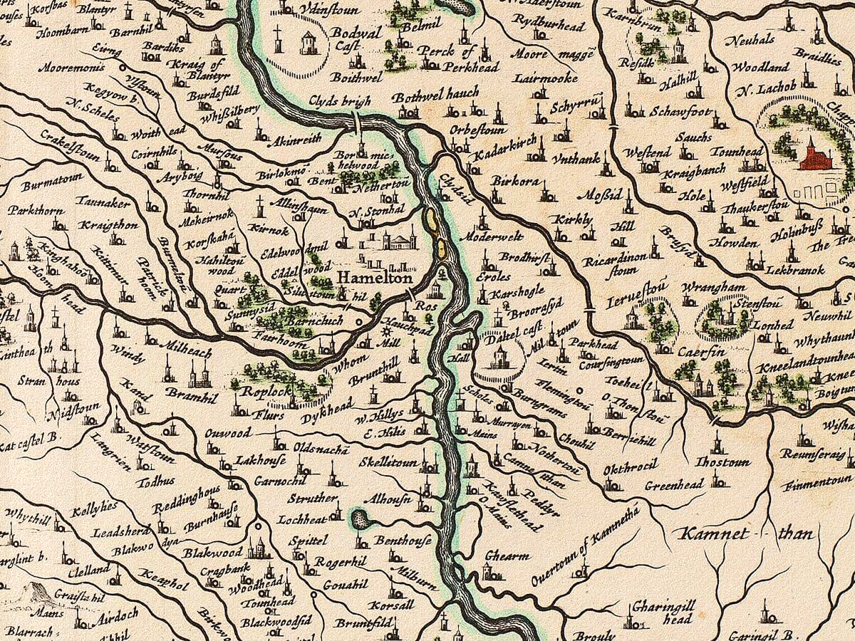
The density of names is one of the engraving’s most striking features. Towns and villages are accompanied by numerous castles, towers, churches, mills, estates and smaller habitations. Some survive as modern communities, while others remain only in the names of farms, streets or districts.
Hills are represented pictorially, woodland appears as groups of individual trees and important buildings are shown through conventional miniature symbols. Roads are not recorded systematically, and the map should not be interpreted as a precise modern survey.
Its historical value lies instead in Pont’s careful identification of inhabited places and the structure created by the Clyde and its tributaries. The map allows today’s viewer to explore the region before industrial growth joined many formerly separate communities together.
Decorative Engraving and a Companion Map
A richly engraved title cartouche dominates the upper-left corner. Figures, drapery and heraldic ornament frame the Latin and English titles, bringing colour and ceremony to the densely mapped countryside below. The scale of Scottish miles appears separately along the upper edge.
Blaeu’s engraving combines Pont’s close knowledge of Scotland with the craftsmanship of an Amsterdam atlas workshop at the height of the Dutch Golden Age. It is both a significant geographical record and an antique map with lasting decorative appeal.
For the Clyde’s southern reaches, this print can be paired with Blaeu’s companion
old map of Upper Clydesdale. Together, the two plates follow the river through the historic heart of Lanarkshire.






 Verified owner