Joan Blaeu’s Seventeenth-Century Map of Annandale
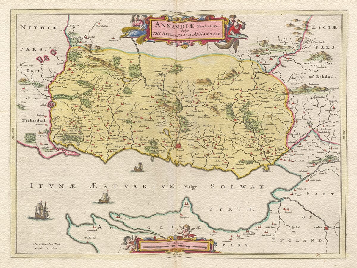
This important early map of Annandale was published by Joan Blaeu in Amsterdam in 1654 as part of his celebrated Atlas of Scotland. Entitled Annandiae Praefectura, Vulgo The Stewartrie of Annandail, it records the southern part of Dumfriesshire from the River Esk in the east towards the Lochar Water in the west, including the Kirtle Water catchment and Lower Annandale south of Dalton and Castlemilk. Its geographical information was compiled from observations made on the ground by Scottish surveyor Timothy Pont during the closing decades of the sixteenth century.
Map Details
Original title: Annandiae Praefectura, Vulgo The Stewartrie of Annandail
Original cartographer / surveyor: Timothy Pont
Publisher: Joan Blaeu
First published: Amsterdam, 1654
Area shown: Lower Annandale and southern Dumfriesshire, extending from the River Esk towards the Lochar Water and including the Kirtle Water catchment
Principal features: River Annan and its tributaries, Annan and surrounding settlements, castles and tower houses, Hoddom Castle and the Tower of Repentance
Coverage note: Upper Annandale appears only incompletely along the north-western edge of the sheet
Source atlas: Theatrum Orbis Terrarum, sive Atlas Novus — Atlas of Scotland, 1654
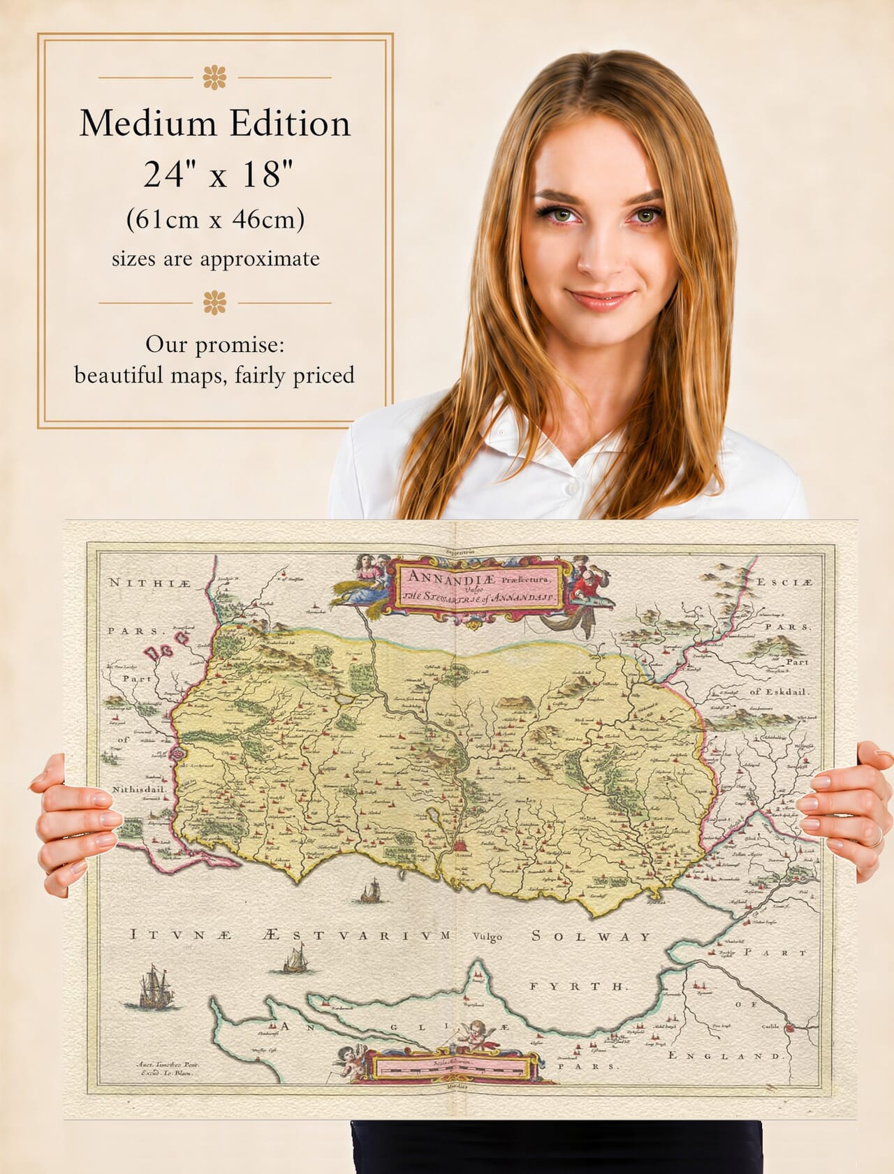
Product type: Reproduction of a seventeenth-century copper-engraved map
Annandale takes its name from the River Annan, which flows south through Dumfriesshire to the Solway Firth. Its broad lower valley provided an important north-south route between Scotland and England, but that accessibility also made the district vulnerable during centuries of warfare, raiding and political instability along the Border.
The map is particularly valuable because Pont was recording the region while the old Border system was still very much alive. During the sixteenth century Annandale formed part of the Scottish West March, an area in which fortified houses, castles and watch towers were essential features of the landscape. Families including the Maxwells, Johnstones, Armstrongs, Irvines, Bells and Carlyles were recorded as powerful local surnames during this period.
Castles consequently feature prominently throughout Blaeu’s engraving. They were not simply picturesque residences but part of the defensive and political organisation of a region lying close to an often-hostile international frontier. The valley had experienced repeated English incursions, Scottish counter-attacks and the activities of the Border Reivers, whose mounted raids for livestock and goods became one of the defining characteristics of sixteenth-century Border society.
One of the map’s most intriguing features is labelled “Tour of Repenta[n]ce”, south of Hoddom Castle. This is the surviving Repentance Tower, a remarkable sixteenth-century watch tower standing on Trailtrow Hill. Historical records describe its role as a watch station equipped with a beacon or fire-pan from which warning could be given of approaching danger. Its appearance on Pont’s survey provides a direct connection between the map and the practical defensive arrangements of the Border countryside.
Nearby Hoddom Castle was another important stronghold. Its sixteenth-century core was associated with the Maxwell family and with the turbulent politics surrounding Mary, Queen of Scots. The proximity of castle and watch tower illustrates how geography, communications and defence were intertwined in Lower Annandale.
Annandale also has a much earlier place in Scottish history. During the Middle Ages the lordship became closely associated with the Bruce family, ancestors of Robert the Bruce. The strategic valley leading towards the Solway and the English frontier repeatedly placed the district at the centre of Anglo-Scottish conflict long before Pont arrived to survey it.
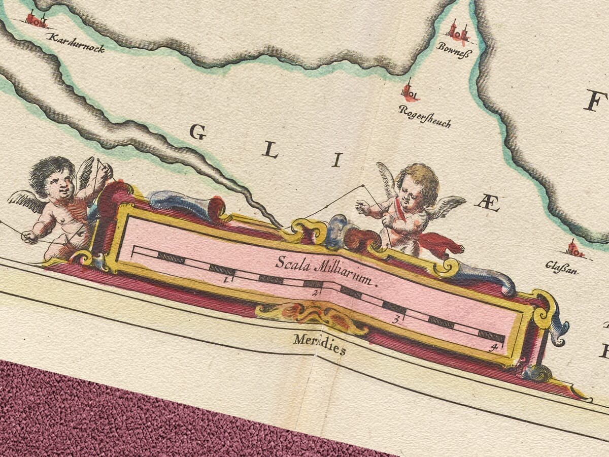
By Pont’s time, the countryside was densely marked by estates, small settlements, fortified houses and waterways. His survey preserves many historic place-name forms recorded before spelling became standardised. When those manuscript observations were later transferred to copperplate in Amsterdam, Blaeu transformed a practical regional survey into an elaborate printed map combining detailed geography with decorative cartouches.
There is also an important limitation to understand. Despite the atlas title referring generally to the Stewartry of Annandale, the map principally depicts the lower part of the district. The University of Edinburgh’s Charting the Nation catalogue specifically notes that Upper Annandale is only incompletely represented along the north-western margin and was not covered by another Blaeu sheet. This explains the modern descriptive title Lower Annandale used for this map.
The map was finally engraved and issued in Amsterdam as part of Blaeu’s monumental Scottish atlas in 1654. Pont himself had died decades earlier and never saw his extensive surveys published in this form. Joan Blaeu’s achievement was to bring this accumulated Scottish geographical knowledge together within one of the great atlas projects of seventeenth-century Europe.
Today the map provides a fascinating record of southern Dumfriesshire at the end of the Border Reiver era. The River Annan, fortified houses, historic settlements and the unmistakable Tower of Repentance preserve a landscape shaped by generations of frontier life.
For anyone with connections to Annandale, Annan or Dumfriesshire, Blaeu’s map offers both an impressive work of seventeenth-century cartography and an unusually detailed window onto this historic Border region.
Browse our collection of old maps of Scotland →






 Verified owner
















