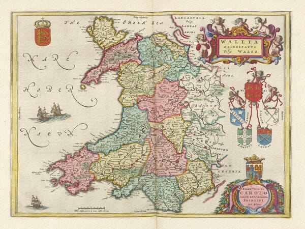
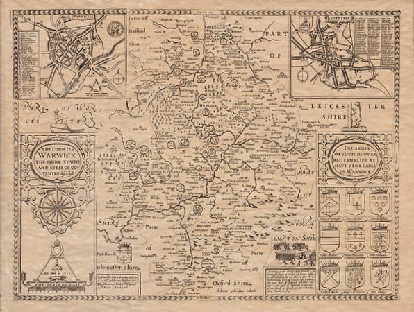
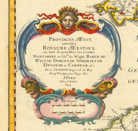
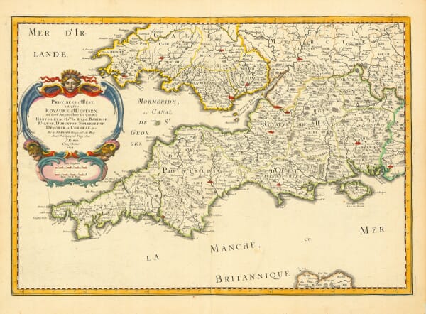
Explore our collection of old UK maps, including historic maps of Great Britain, England, Scotland, Wales and Ireland, together with decorative county maps and detailed town and city plans.
Spanning several centuries of British and Irish cartography, the collection includes work by celebrated mapmakers such as John Speed, Willem Blaeu and the Greenwood family. These fine art reproductions appeal to local historians, family-history researchers and anyone with a personal connection to a particular county, town or region.
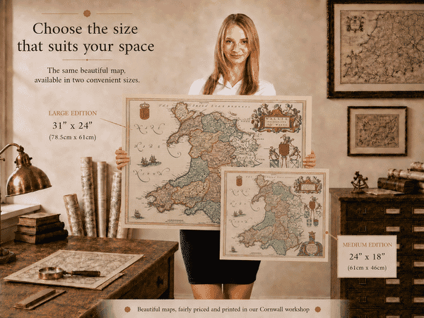
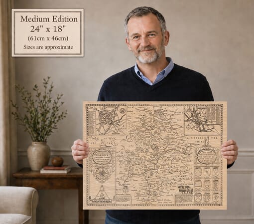
Each map is printed individually in our Cornwall workshop using archival pigment inks on textured fine art paper.