Historical Background
Joan Blaeu’s Seventeenth-Century Map of the Isle of Skye
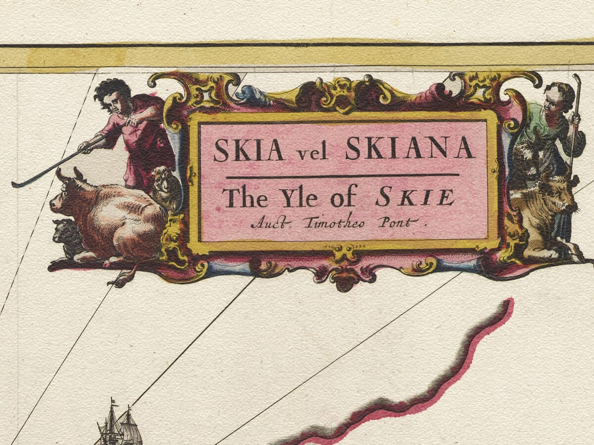
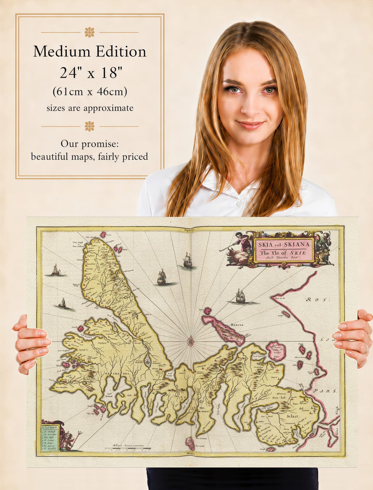
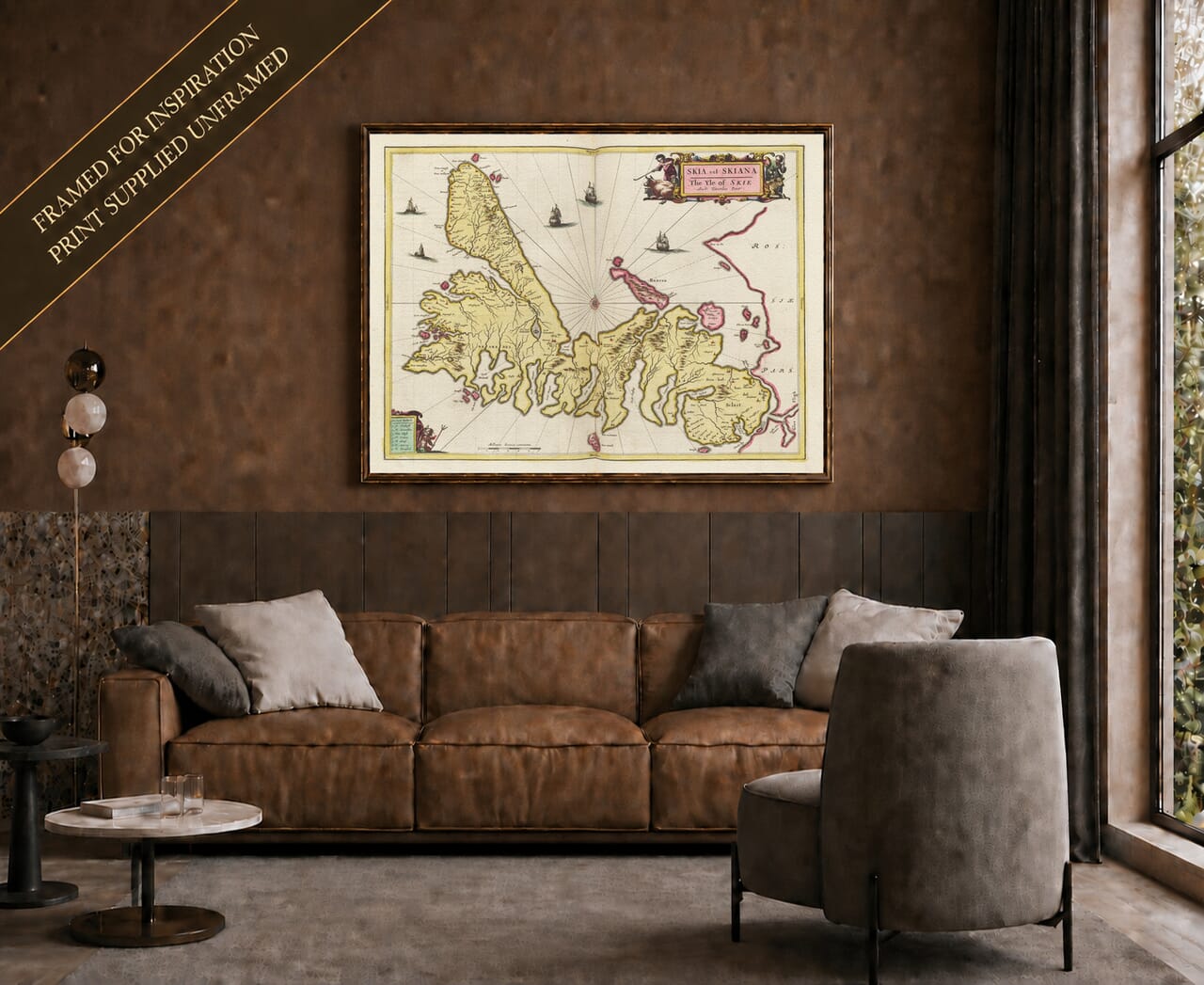
This important early map of the Isle of Skye was published in Amsterdam by Joan Blaeu in 1654, using geographical information originating in the pioneering Scottish surveys of Timothy Pont. The map bears the title Skia vel Skiana – The Yle of Skie and explicitly credits Pont with the words Auct. Timotheo Pont. It formed part of the Scottish volume of Blaeu’s Theatrum Orbis Terrarum, sive Atlas Novus, the first great printed atlas devoted to Scotland.
Map Details
- Original title: Skia vel Skiana, vulgo, The Yle of Skie / Auct. Timotheo Pont
- Original cartographer and surveyor: Timothy Pont
- Publisher: Joan Blaeu
- First published: Amsterdam, 1654
- Area shown: The Isle of Skye, neighbouring islands and part of the western mainland of Scotland
- Principal features: Skye’s deeply indented coastline, mountain ranges, lochs, early settlements and castles; the waters separating Skye from the mainland; sailing ships, compass rose and decorative cartouches
- Source atlas: Theatrum Orbis Terrarum, sive Atlas Novus, Pars Quinta — Scotland, 1654
- Product type: Reproduction of a seventeenth-century engraved and originally hand-coloured atlas map
Timothy Pont was one of the most important figures in the early mapping of Scotland. During the closing decades of the sixteenth century he travelled extensively through the country, recording coastlines, rivers, lochs, settlements, castles and estates. His surviving manuscript maps are an extraordinary record of Scotland before systematic scientific surveying. Pont did not live to see his proposed atlas published, but his work was preserved and eventually became the basis for many of the maps prepared for Joan Blaeu’s Scottish atlas.
Skye presented an especially demanding subject for an early surveyor. Its coastline is broken by long sea lochs, peninsulas and bays, while a mountainous interior divides one part of the island from another. Blaeu’s finished engraving captures this distinctive geography with considerable richness. The island dominates the sheet, surrounded by smaller islands and the waters separating Skye from the Scottish mainland.
The mountains are represented by repeated pictorial hill symbols rather than the measured contours familiar from modern maps. These engraved forms were intended to convey the character of the landscape rather than exact elevation, yet they give the interior of Skye a strikingly rugged appearance. Rivers and burns descend between the hills towards the numerous sea lochs that cut deeply into the island.
For the modern viewer, one of the map’s greatest pleasures lies in its historic place-names. Familiar locations can often be recognised beneath spellings recorded more than four centuries ago. Written forms were not standardised, and Pont was frequently recording names that had previously existed principally in spoken Gaelic. The subsequent copying and engraving of his material in Amsterdam introduced another stage in the transmission of these names.
The south-eastern approaches to Skye provide a particularly interesting example. Blaeu’s 1654 map shows a tower labelled Castle of Dun Akin and records Cheules Akin in the adjoining waters — early forms associated with modern Kyleakin and the narrow sea passage between Skye and the mainland. This is valuable evidence of how the strategically important crossing was represented long before modern roads, ferries and the Skye Bridge transformed travel to the island.
Across Skye, castles and settlements also remind us that this was not an empty romantic landscape. The island was divided among powerful Highland families whose territories, strongholds and maritime connections shaped its history. Dunvegan, long associated with Clan MacLeod, was already an ancient centre of power when Pont undertook his surveys. Elsewhere the MacDonalds exercised considerable influence in the south of the island and across the neighbouring Hebrides.
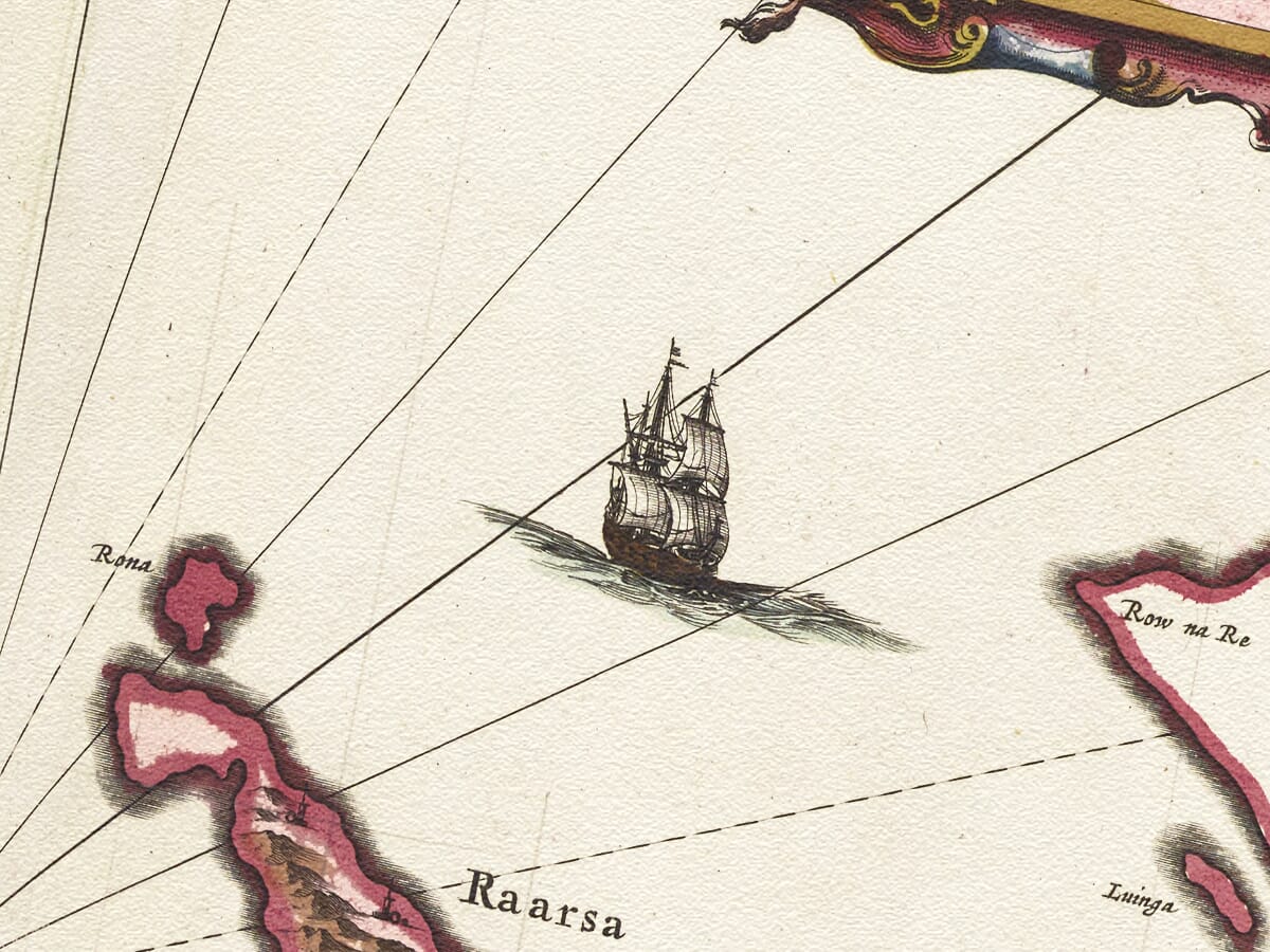
Sea travel was central to life in this landscape. Before the development of modern roads, the lochs and sounds shown so prominently on the map often served as routes rather than obstacles. Boats connected settlements around Skye with Raasay, the Outer Hebrides and mainland districts such as Applecross and Lochalsh. Blaeu’s sailing ships are decorative additions, but they also seem particularly appropriate on a map of an island whose history was inseparable from the surrounding sea.
The large compass rose at the centre of the sheet further emphasises this maritime setting. From it, rhumb lines radiate across the surrounding waters, giving the engraving something of the character of a sea chart as well as a regional land map. Together with the coloured coastlines and elaborate title cartouche, these details demonstrate the sophisticated presentation for which the Blaeu publishing house became famous.
Although this map was first published in the Scottish atlas of 1654, the same plate appeared in later Blaeu atlas editions. This explains why examples of Skia vel Skiana are sometimes advertised or catalogued with later dates such as 1665. The geographical design itself, however, belongs to the pioneering Scottish atlas publication of 1654 and ultimately to Pont’s much earlier survey work.
Blaeu’s achievement was to transform those practical Scottish surveys into maps of international quality. His Amsterdam workshop combined precise copper engraving, elegant lettering, decorative cartouches and, in many surviving copies, rich hand colouring. The resulting Atlas of Scotland brought detailed Scottish geography before a European audience on an unprecedented scale.
Today Skia vel Skiana provides a fascinating contrast with modern maps of Skye. Roads, bridges and later settlements are absent, while historic spellings and early representations of castles preserve traces of an older landscape. Yet the deeply indented coastline and imposing mountainous form make the island immediately recognisable.
For anyone with a connection to the Isle of Skye, Blaeu’s map offers far more than decorative appeal. It brings together Timothy Pont’s pioneering fieldwork, the history of Skye’s communities and castles, and the artistry of one of seventeenth-century Europe’s greatest map publishers in an exceptional record of the island more than four centuries ago.






 Verified owner