Joan Blaeu’s Map of Upper Clydesdale
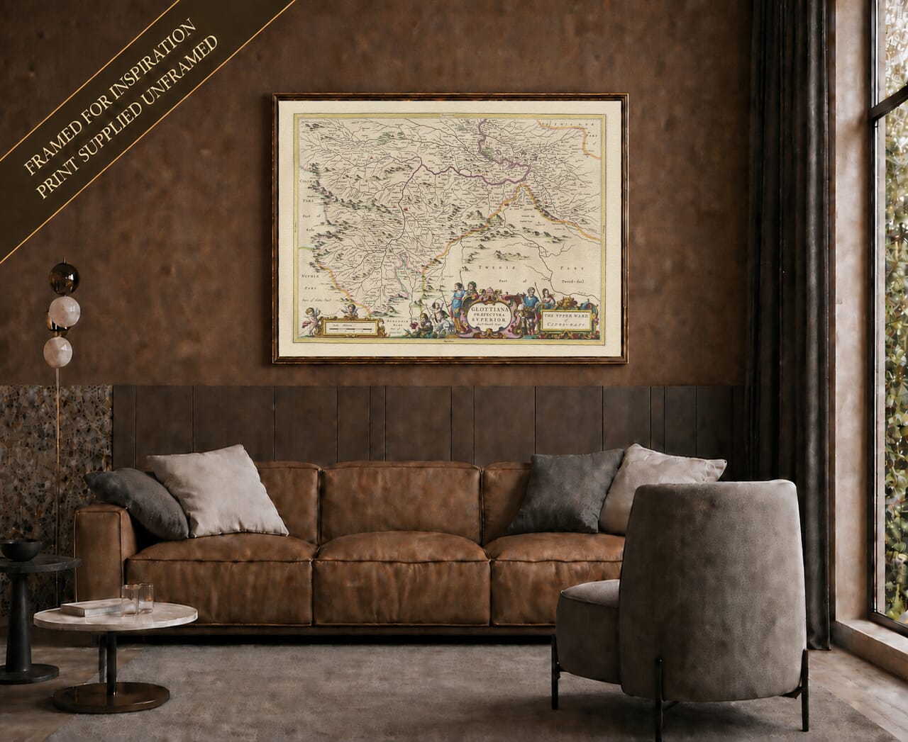
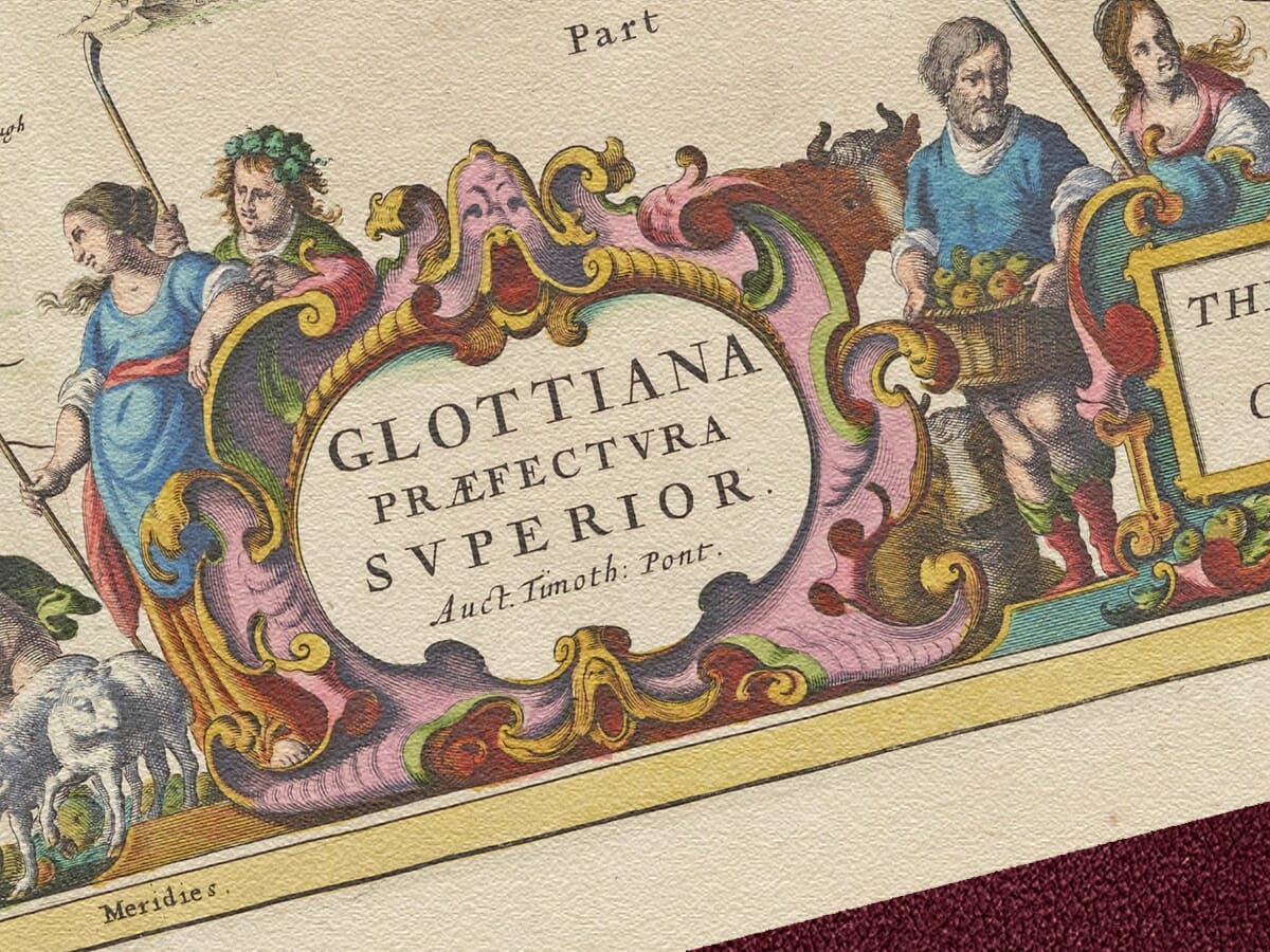
Joan Blaeu’s old map of Upper Clydesdale was published in Amsterdam in 1654 as part of the first atlas devoted to Scotland. Its principal Latin title, Glottiana Præfectura Superior, is accompanied by the English title The Upper Ward of Clyds-Dayl. Together they identify the map as a portrait of the upper reaches of the Clyde and the southern part of historic Lanarkshire.
Map Details
- Original title: Glottiana Præfectura Superior
- English title on map: The Upper Ward of Clyds-Dayl
- Region shown: Upper Clydesdale and the Upper Ward of Lanarkshire
- Principal places: Lanark, Biggar, Douglas, Crawford and Abington
- Publisher: Joan Blaeu
- First published: Amsterdam, 1654
- Atlas: Theatrum Orbis Terrarum, sive Atlas Novus
- Cartographic basis: Earlier Scottish manuscript surveys prepared for Blaeu’s atlas
- Format: Engraved copperplate map, with colour added to selected impressions
The Upper Ward of Lanarkshire
Upper Clydesdale takes its name from the River Clyde, which gathers its waters among the Southern Uplands before flowing north through the heart of Lanarkshire. Blaeu follows the river and its tributaries through an enclosed landscape of hills, valleys, estates and small communities.
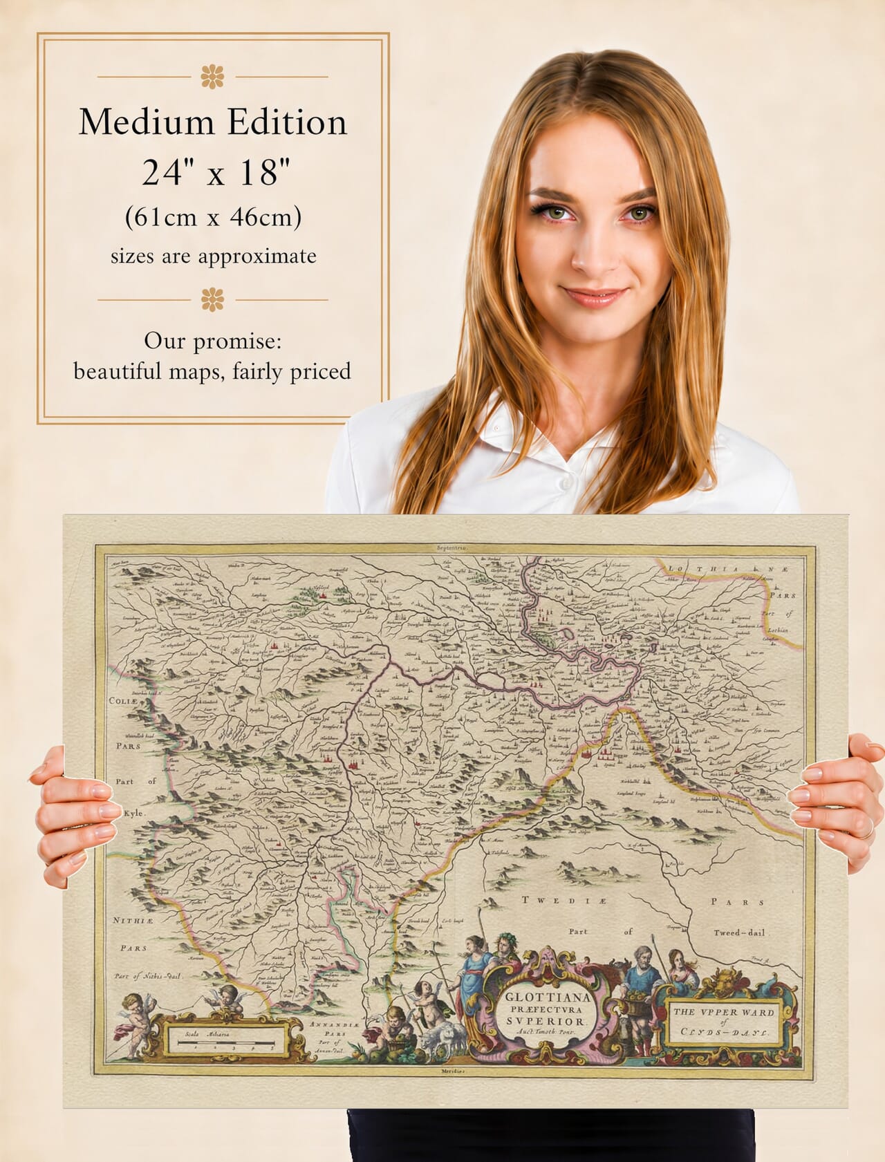
The map reaches from the high country around Crawford and Abington northwards towards Lanark. Douglas occupies the western part of the engraving, while Biggar lies towards its eastern edge. Carnwath, Lamington and numerous smaller settlements appear among a remarkably dense network of burns and tributaries.
Neighbouring districts are identified around the borders of the map. Parts of Kyle and Nithsdale appear to the west, Annandale lies to the south, and Tweeddale and Lothian meet Upper Clydesdale in the east. These surrounding names help place the upper Clyde within the broader geography of southern Scotland.
Lanark and the River Clyde
Lanark was the principal town of the Upper Ward and is given an appropriately prominent place beside the Clyde. Long before modern roads and railways, the town served as a centre of trade, administration and communication for the surrounding countryside.
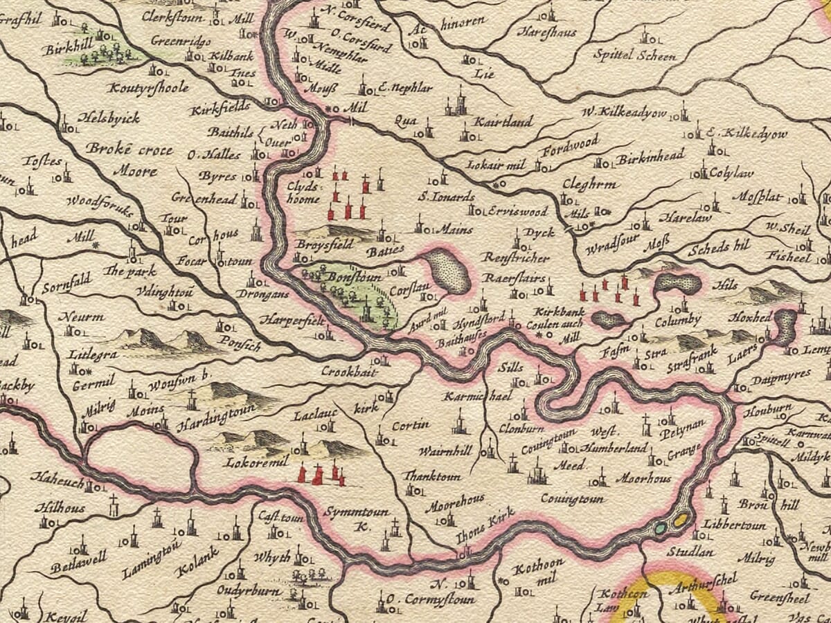
The course of the river is one of the strongest features of the engraving. Blaeu presents the Clyde as a broad, winding line, joined repeatedly by smaller waters descending from the hills. Estates, mills, castles and settlements gather beside these waterways, demonstrating how closely life in the district depended upon access to water and fertile valley land.
The map predates the founding of the industrial settlement of New Lanark and the later development of large mills powered by the Clyde. It therefore preserves the valley before industrialisation altered its communities and made this stretch of the river internationally famous.
Biggar, Douglas and the Eastern Country
Biggar is shown as one of the most substantial settlements on the eastern side of the map. Its cluster of red buildings stands out clearly among the surrounding farms, burns and hills. The town served a wide rural hinterland and remains one of the most recognisable historic centres of Upper Clydesdale.
West of Biggar, the map records Carnwath and a succession of smaller places leading towards Lanark. Lamington appears farther south beside the upper Clyde, while the high ground around Tinto is suggested through Blaeu’s expressive groups of pictorial hills.
Douglas occupies an important position in the western part of the engraving. Both the settlement and Douglas Castle are named, reflecting the long association between the district and the Douglas family. The surrounding valley is filled with burns, wooded ground and individual estates, giving this portion of the map an especially intricate appearance.
Crawford, Abington and the Road South
Farther upriver, Crawford and Crawford Castle stand amid increasingly rugged country. Abington appears nearby, surrounded by hills and streams. These communities lay close to one of the principal natural routes between central Scotland and the country farther south.
Although Blaeu does not provide a modern road network, the relationship between river valleys, settlements and passes can still be followed across the engraving. The clustered buildings at Crawford, the castle symbols and the close succession of named properties suggest a landscape that was thinly populated but far from empty.
Castles and fortified houses had practical importance in a region where powerful families controlled estates, routes and river crossings. Their symbols also provide visual landmarks, allowing modern viewers to trace places that may remain connected with their own family or local history.
Reading the Seventeenth-Century Landscape
This historic map is not a scientifically measured survey in the modern sense. Hills rise as individual shaded forms, towns are represented by conventional groups of buildings and the comparative size of a symbol does not necessarily indicate population.
Nevertheless, the engraving contains an extraordinary wealth of local information. Hundreds of names identify farms, estates, mills, castles, burns and small communities. Some spellings are immediately recognisable; others preserve forms that have altered or disappeared during the centuries since the map was published.
The coloured boundary lines distinguish Upper Clydesdale from neighbouring territories, while rivers provide the internal framework of the landscape. Red-highlighted buildings draw the eye towards Lanark, Biggar, Douglas and Crawford, making the map especially rewarding to examine at close quarters.
Cartouches and Decorative Detail
The lower edge is occupied by three imposing decorative elements. Putti surround the scale of miles, while the Latin and English titles appear in separate cartouches attended by figures, animals and symbolic ornament.
These embellishments provide a theatrical foreground to the quieter geography beyond. The combination of expressive hills, winding waters, coloured settlements and richly decorated cartouches is characteristic of Joan Blaeu’s finest Scottish maps.
Published more than three and a half centuries ago, Glottiana Præfectura Superior preserves Upper Clydesdale before industrial towns, railways and modern roads changed the valley. For anyone with connections to Lanark, Biggar, Douglas, Crawford or the surrounding countryside, it offers an absorbing encounter with a familiar landscape seen through seventeenth-century eyes.
Explore further regional and island maps in our collection of
old maps of Scotland.






 Verified owner

















