




 Verified owner
Got there in time and loves it! Cheers David [Gift from US to UK]
 Verified owner
Thanks Lauren. We received it today - it's gorgeous! Thank you, Ellan
 Verified owner
Thank you for your prompt service. I have a gallery and framing business in South Wales. I'm so pleased it is printed in the UK
 Verified owner
My Isles of Scilly map arrived safely and I'm delighted with it!

The print arrived safely and we're delighted with it - a lovely reminder of our honeymoon 15 years ago.
 Verified owner
I have just received them! I'm sure our clients will be pleased with them and there could be more projects off the back of this one where we can use more. [Interior Designers]
 Verified owner
I just received my map of Ireland by Ewart today and, as usual, I am delighted by its quality. The crispness and fineness of detail is excellent and the colour reproduction surpasses my expectations. Please relay my thanks to Steve for another fine effort!
 Verified owner
Many thanks, Lauren. Very pleased with the map and the service: would recommend The Old Map Company to anyone interested in Old Maps.
 Verified owner
Many thanks, the map arrived safely this morning, and I’m really pleased with it. A stunning reproduction, just as I had hoped. I will keep browsing your website, and may yet be tempted by more of your items! Have a great weekend.
 Verified owner
Just arrived, wonderful map! Thanks very much!
 Verified owner
The map – beautiful – arrived safely, very many thanks.
 Verified owner
Thank you, I have already found the map. It’s wonderfull! Good luck! Rasa
 Verified owner
My apologies for the very late reply. I wanted to reach out to thank you so much for rushing my order. My partner absolutely loved it. I am amazed with the service so that is a five-star from me. I wish you all the best.
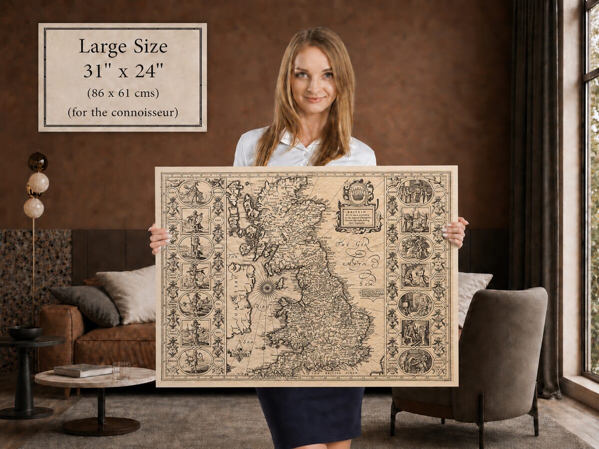
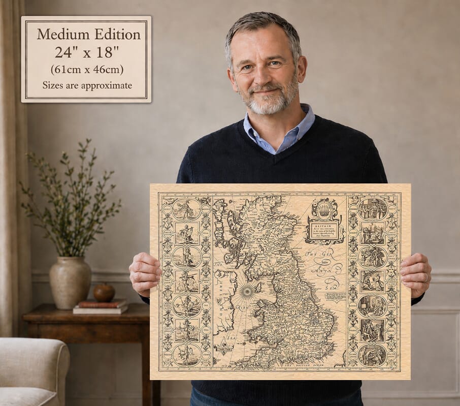
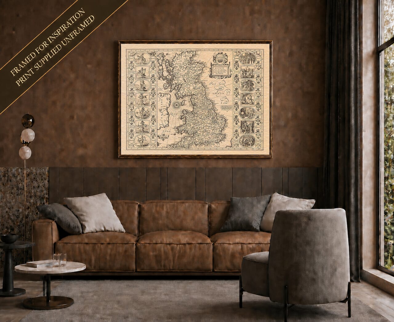
John Speed’s remarkable historical map bears the original title:
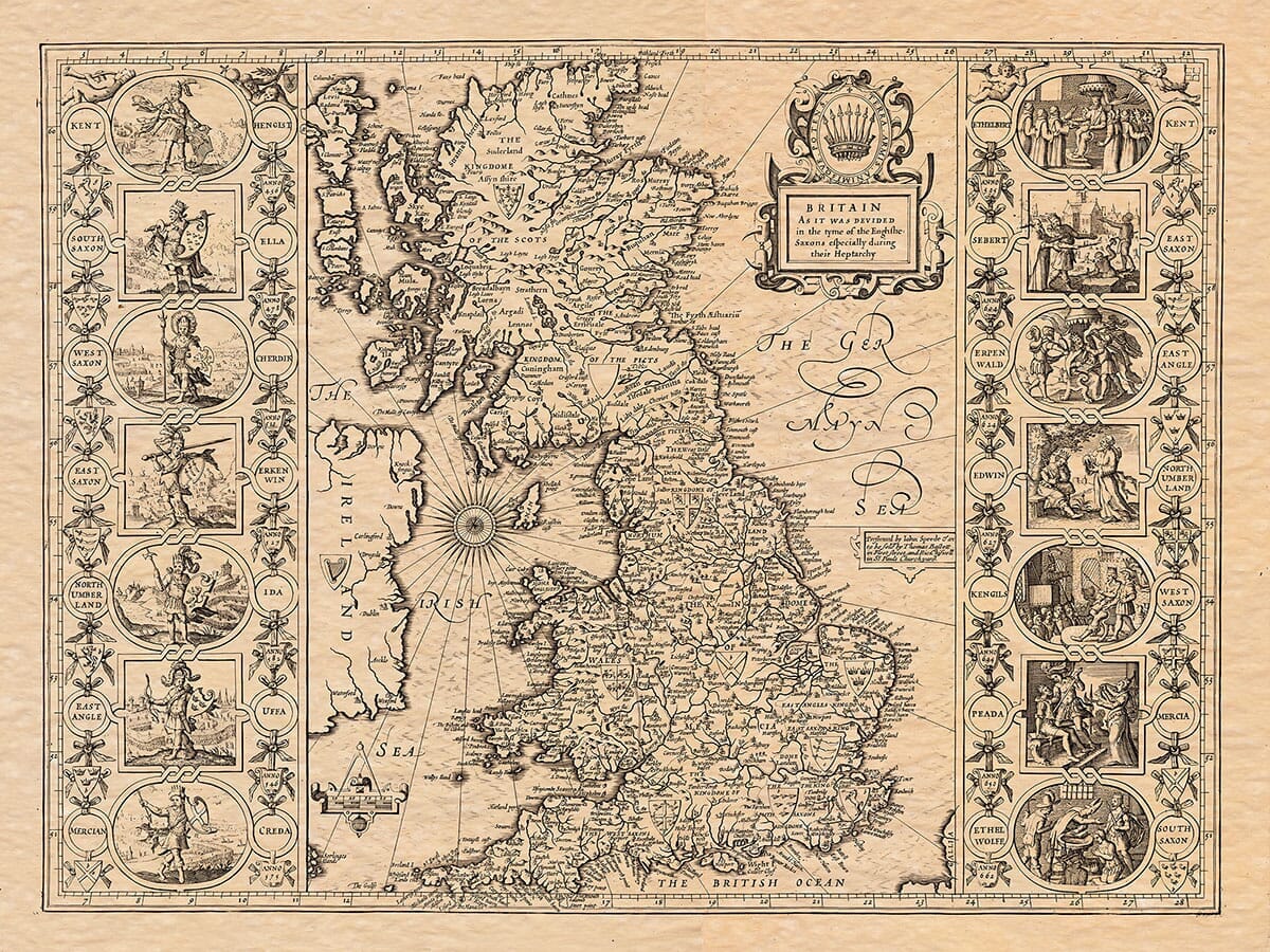
Britain as it was devided in the tyme of the Englishe Saxons especially during their Heptarchy.
It was first prepared at the beginning of the seventeenth century and published in Speed’s landmark atlas, The Theatre of the Empire of Great Britaine, in 1611–12. The British Museum describes it as a map of Anglo-Saxon Britain showing towns, principal settlements, rivers, hills and kingdoms.
Unlike Speed’s county maps, this was not intended to show Britain as it appeared during his own lifetime. It was conceived as a historical reconstruction: a seventeenth-century attempt to picture the political geography of Britain several centuries before the Norman Conquest.
The term Heptarchy traditionally refers to the seven principal Anglo-Saxon kingdoms of Kent, Sussex, Wessex, Essex, East Anglia, Mercia and Northumbria.
These kingdoms did not all remain fixed, equal or independent throughout the Anglo-Saxon period. Their boundaries and influence changed repeatedly as rulers fought, formed alliances, absorbed neighbouring territories and competed for dominance.
Speed’s map should therefore be understood as a historical interpretation rather than a modern archaeological reconstruction. It presents the past in a clear and ordered form that would have been readily understood by educated atlas readers in seventeenth-century England.
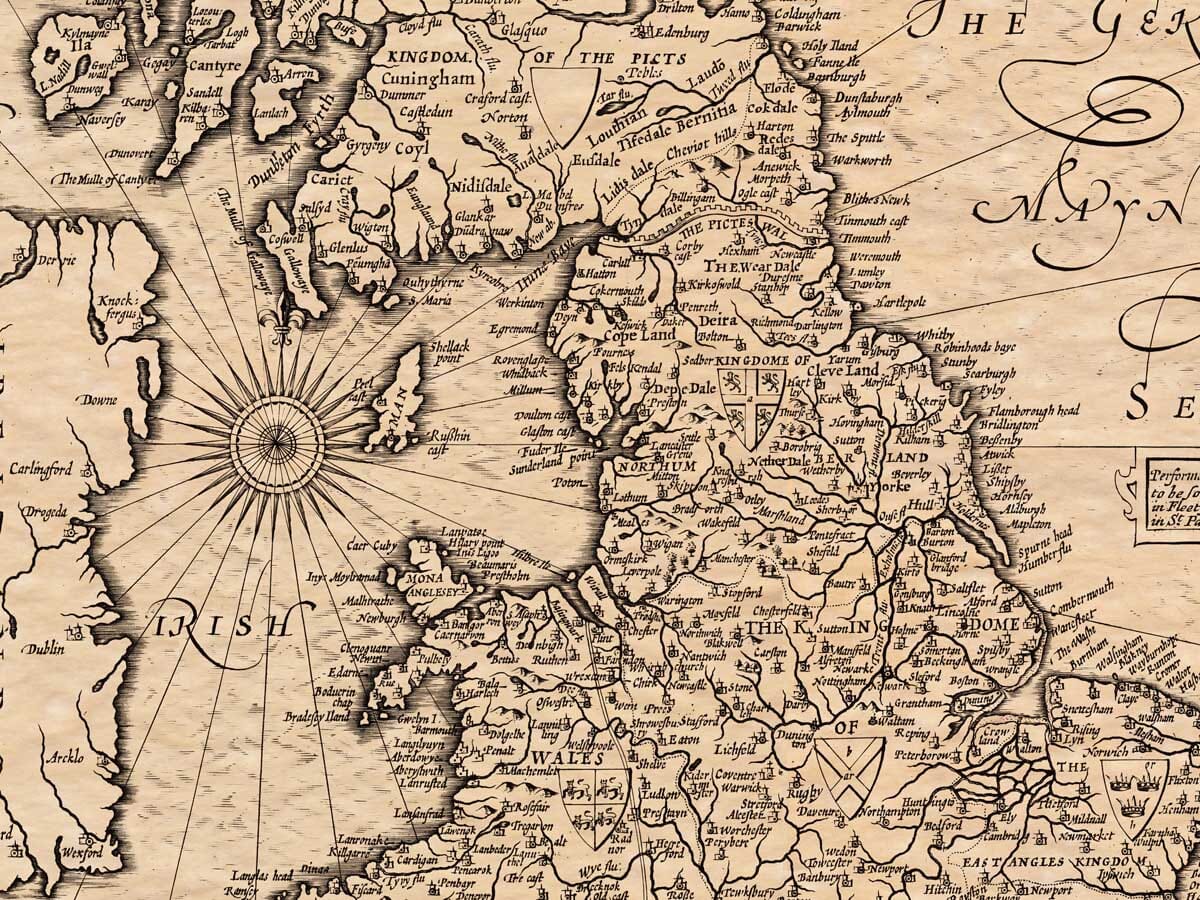
Across the central map, the traditional kingdoms are marked among a dense pattern of rivers, mountains, towns and early place-names. England occupies the greater part of the sheet, but Scotland, Wales, the Isle of Man and part of Ireland are also shown. This wider setting places the Saxon kingdoms within the geography of Britain as a whole.
Many familiar places can be found, although their spellings and relative positions may differ from those expected today. The appeal lies partly in tracing recognisable regions through an early-modern understanding of much older history.
The decorative side panels are among the map’s most memorable features.
The left-hand border presents a succession of early rulers connected with the foundation or early history of the principal Saxon kingdoms. Hengist appears in association with Kent, followed by rulers linked with the South Saxons, West Saxons, East Saxons, Northumbria, East Anglia and Mercia.
The right-hand border tells a different story. Here the scenes concentrate upon later rulers and the adoption of Christianity within the Saxon kingdoms. One scene shows Æthelberht of Kent receiving Christian instruction associated with the mission of St Augustine. Other scenes represent the replacement or rededication of pagan sites and the spread of the new religion through royal courts.
The borders are therefore more than ornament. Together they form a visual history: foundation and conquest on one side, followed by conversion and Christian kingship on the other.
Between the scenes appear names, heraldic shields, weapons and other emblems of authority. Some of this heraldry was assigned retrospectively, long after the lives of the rulers concerned. It reflects the way Tudor and Stuart historians pictured the remote past, rather than surviving armorial practice from the Anglo-Saxon centuries.
Speed was an historian as well as a mapmaker. His atlas was designed not simply to describe the landscape but to present the history, rulers and identity of Britain.
This map reflects the strong seventeenth-century interest in tracing the origins of the English kingdom. The Saxon past was viewed as part of a long national story that eventually led to a united England and, in Speed’s own age, to the union of the crowns under James VI of Scotland and I of England.
The map turns that complicated history into a carefully structured image. Kingdoms are placed upon the land, rulers occupy the borders, Christianity supplies the connecting narrative and the whole composition is enclosed within an orderly engraved frame.
That order should not be mistaken for certainty. Modern historians recognise that Anglo-Saxon Britain was far more fluid than the map suggests. Power could be local, regional and personal, while smaller kingdoms and peoples do not fit neatly into the familiar group of seven.
This does not diminish the importance of the map. On the contrary, it makes it valuable in two different ways: as an image of Anglo-Saxon Britain and as evidence of how that earlier world was understood during the reigns of James I and Charles I.
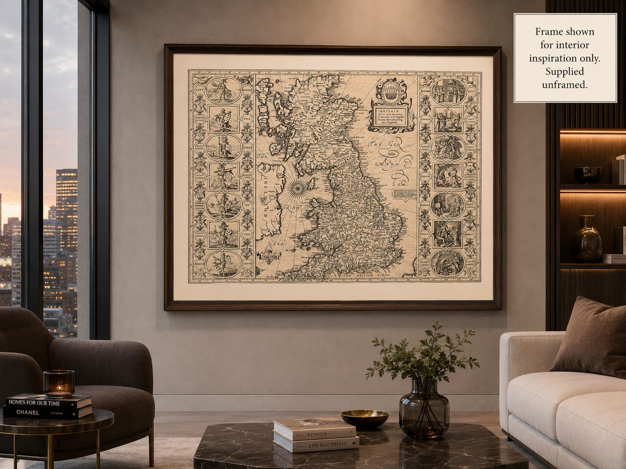
The main map is balanced by an elaborate title cartouche in the upper-right portion of the sheet. Its crown-like emblem and decorative scrollwork give the title considerable visual weight.
A large radiating compass rose occupies the Irish Sea, while engraved ships, coastal outlines, mountains and flowing lettering fill the geographical image. The surrounding rulers and narrative scenes turn the whole sheet into something closer to an illustrated history page than a conventional map.
The maps prepared for Speed’s Theatre were engraved on copper plates, with much of the work carried out in the Amsterdam workshop of Jodocus Hondius. Cambridge University Library holds rare proof impressions made during the preparation of the atlas.
Copper plates could be reused for many years, and Speed’s Heptarchy map subsequently appeared in later editions of the atlas. Surviving examples include editions associated with George Humble in 1627 and Bassett and Chiswell in 1676, demonstrating the long popularity of the design.
For anyone interested in Anglo-Saxon history, early English kingdoms or the development of Britain, this map offers an extraordinary wealth of detail.
Its historic place-names reward close examination, while the side panels provide a succession of rulers, heraldic symbols and narrative scenes to explore. It can be appreciated from a distance as a highly decorative work, yet its finer details invite repeated study.
The combination of geography, history, royal imagery and storytelling makes John Speed’s Heptarchy map one of the most memorable historical plates from The Theatre of the Empire of Great Britaine.

John Speed was an English historian and cartographer whose The Theatre of the Empire of Great Britaine, first published in 1611–12, became one of the defining atlases of the British Isles.
Speed brought together geographical maps, town plans, royal history, heraldry and antiquarian research. Many of the copper plates were engraved in the Amsterdam workshop of Jodocus Hondius, helping to give the atlas its distinctive combination of precise line work and rich decoration.
His maps have remained admired not only for the information they preserve, but also for the imaginative way they present Britain’s places and history
Portrait courtesy of the National Portrait Gallery