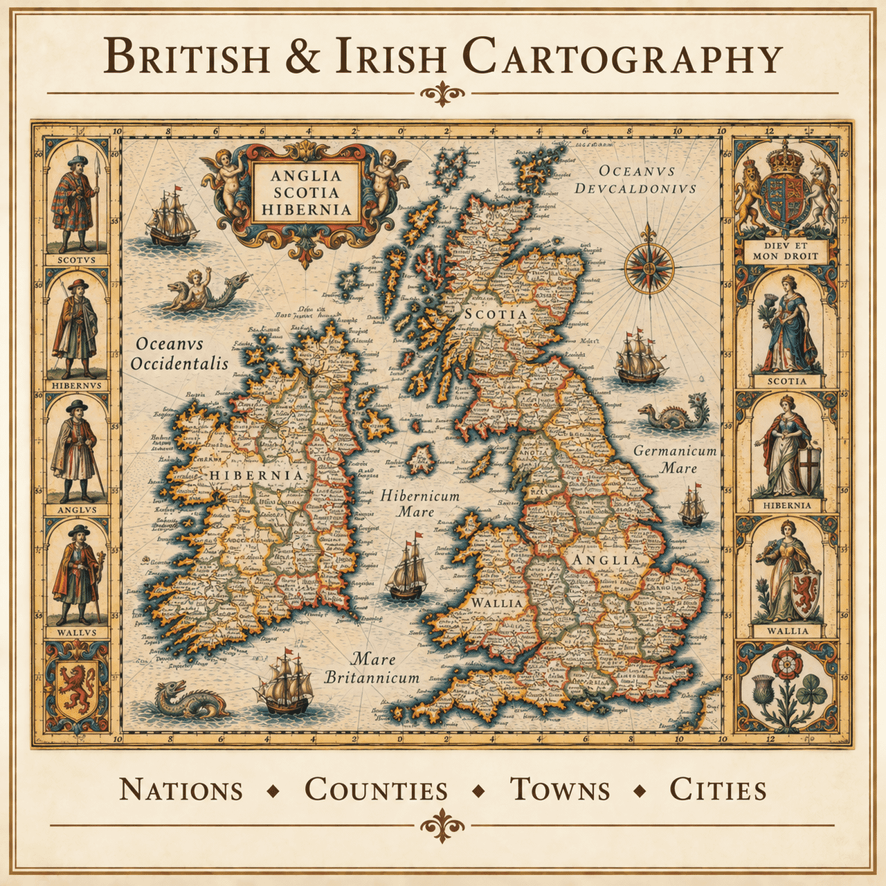
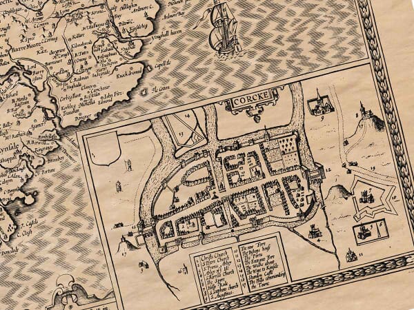
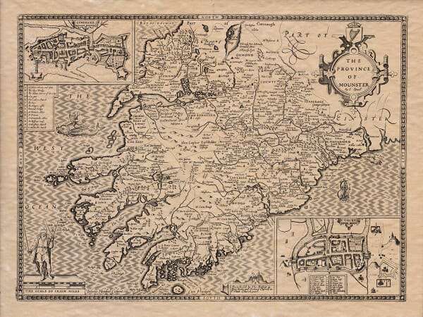
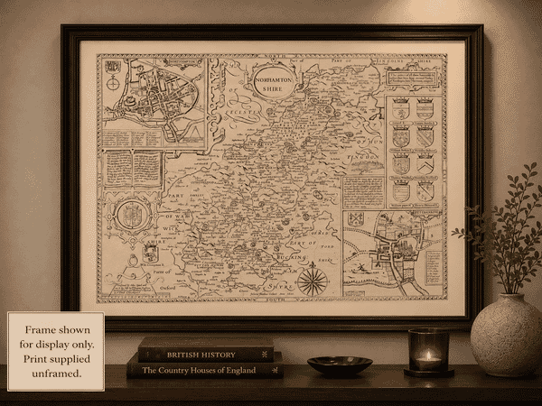
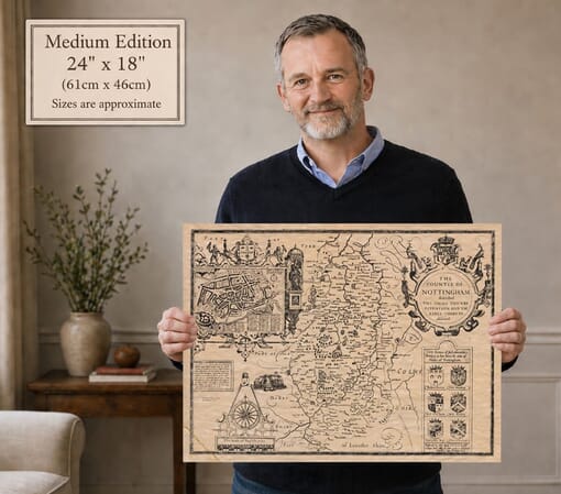
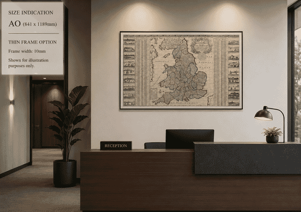
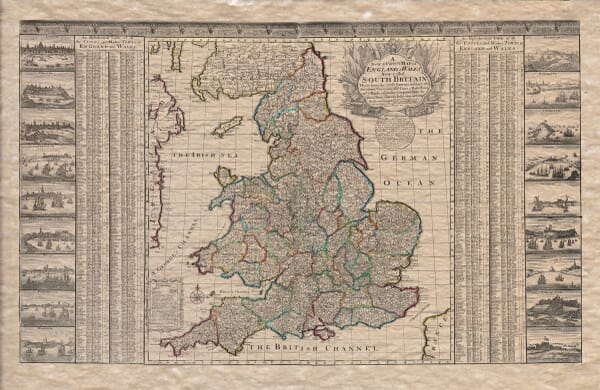
Our collection brings together old UK maps spanning several centuries of British and Irish cartography. It includes national maps of Great Britain, England, Scotland, Wales and Ireland, together with county maps and detailed plans of historic towns and cities.
Among the cartographers represented are John Speed, Joan Blaeu, Christopher and John Greenwood, and other important mapmakers and publishers. Their work records changing boundaries, settlements, roads, estates and the development of Britain’s towns and cities.
Each map is reproduced from a historic original and printed individually in our Cornwall workshop using archival pigment inks on textured fine art paper.