Joan Blaeu’s Map of Historic Norfolk
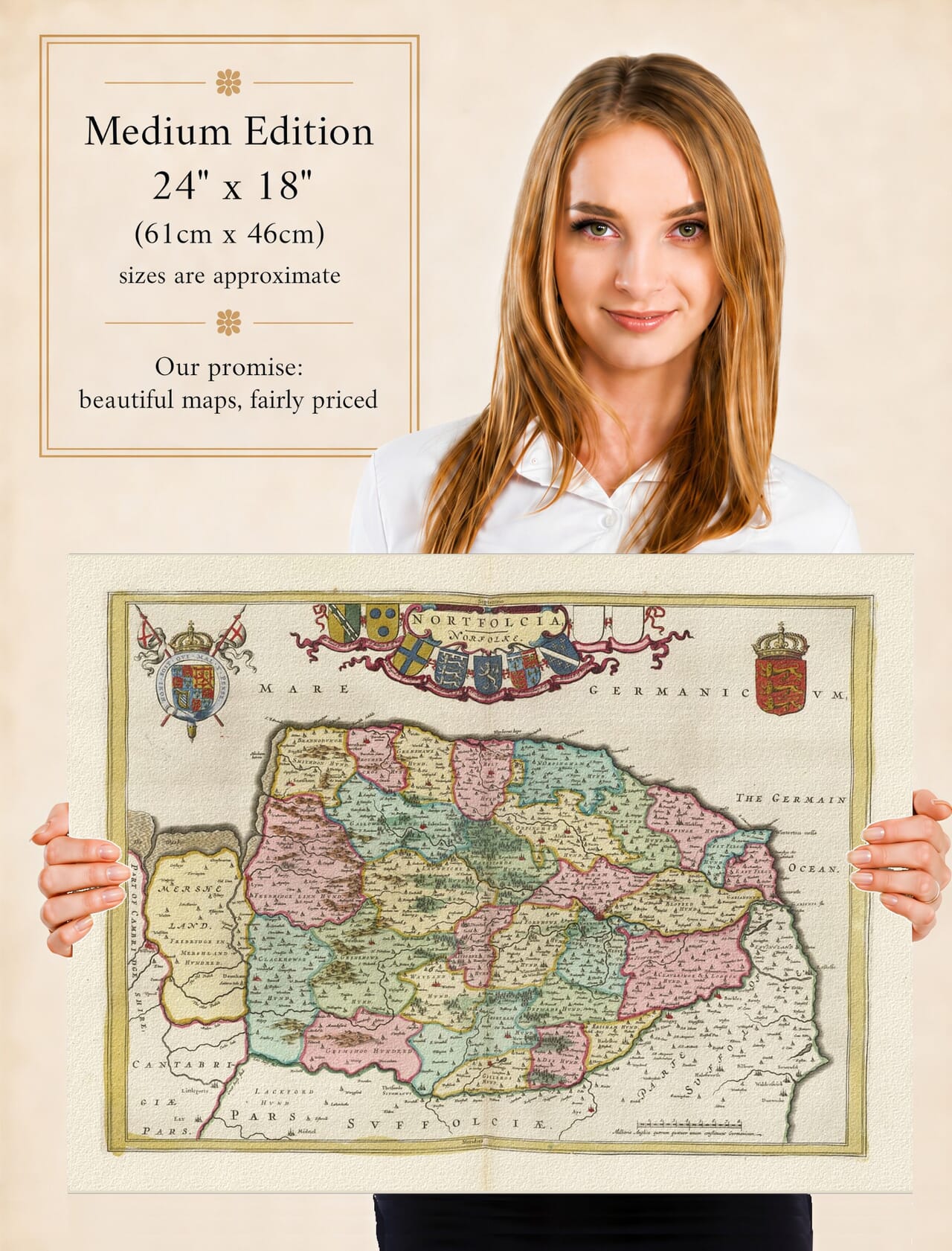
Joan Blaeu’s map of Norfolk was first published in Amsterdam in 1645 as part of the fourth volume of his Theatrum Orbis Terrarum, sive Atlas Novus. Its engraved title, Nortfolcia, Norfolke, presents the county’s name in a Latinised form alongside the English spelling used at the time.
The map belonged to Blaeu’s impressive collection of English and Welsh county maps. These large copperplate engravings combined established geographical information with ornate cartouches, heraldry and exceptionally accomplished printing. They were produced for an international market in which a prestigious atlas was both a work of reference and an expression of education and status.
The Blaeu Workshop in Amsterdam
Joan Blaeu inherited the family publishing house following the death of his father, Willem Blaeu, in 1638. Under Joan’s direction, the business expanded its atlas production and became one of the most celebrated mapmaking establishments of the Dutch Golden Age.
The Norfolk map was not based upon a new survey conducted by Blaeu. Its geography was derived principally from earlier English county mapping, particularly the work of Christopher Saxton and John Speed. Blaeu’s engravers refined and re-presented this inherited material in the distinctive style of the Amsterdam workshop.
The first edition appeared in 1645, but the copperplate was subsequently used in later editions and eventually incorporated into Blaeu’s monumental Atlas Maior. Surviving original maps may therefore carry Latin, French, Dutch or German text on the reverse and may have been printed several years after the plate was first issued.
Norfolk from the Wash to the North Sea
Norfolk’s coastline gives the map much of its distinctive shape. The Wash forms the county’s northwestern limit, while the coast extends eastwards past the settlements of north Norfolk before turning south towards Great Yarmouth.
King’s Lynn appears beside the Great Ouse near the Wash. Known historically as Bishop’s Lynn and renamed King’s Lynn during the reign of Henry VIII, it was an important port serving the agricultural lands of Norfolk and neighbouring counties. Great Yarmouth occupied an equally significant position on the eastern coast, with trade and fishing forming central parts of its economy.
Norwich dominates the county’s interior. It was one of seventeenth-century England’s largest and most prosperous provincial cities, with an economy shaped by textiles, commerce and connections with continental Europe. The arrival of Protestant refugees from the Low Countries during the previous century had brought additional skills and influences to Norwich’s weaving industry.
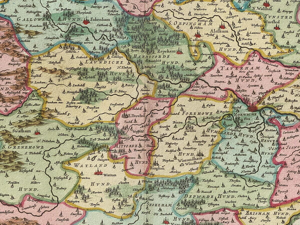
Other recognisable settlements include Thetford, Wymondham, Dereham, Fakenham, Holt, North Walsham and Swaffham. Numerous villages are identified through conventional church and building symbols, often accompanied by spellings that differ from those used today.
Rivers, Marshes and Rural Norfolk
Norfolk’s rivers and low-lying landscapes are important features of the engraving. The Great Ouse enters the Wash near King’s Lynn, while the Yare, Waveney and Bure cross the eastern part of the county towards Great Yarmouth.
Blaeu’s map predates modern drainage engineering and scientific land surveying. Marshes, river valleys and coastal areas were subject to gradual natural and human change. The landscape now associated with the Norfolk Broads had already been shaped by medieval peat extraction and the subsequent flooding of excavated areas, although its modern recreational character lay far in the future.
Norfolk was predominantly rural, with an economy based upon farming, grazing, markets, fishing and coastal trade. The agricultural development for which the county later became famous was taking place within a landscape still organised around small towns, villages, manors and parishes.
Hills and woodland are drawn pictorially rather than measured scientifically. Roads are not systematically recorded, and the size of a settlement symbol does not provide a precise measure of its population. The map is best understood as a seventeenth-century representation of the county rather than a modern topographical survey.
Norfolk During the Civil War
The map appeared during the First English Civil War. Norfolk generally supported Parliament and became part of the Eastern Association, the alliance of eastern counties organised to raise money and armed forces for the Parliamentarian cause.
The county avoided many of the major battles experienced elsewhere, although taxation, recruitment, religious disagreement and the movement of troops affected its inhabitants. Norwich experienced serious disorder during the Second Civil War in 1648, three years after Blaeu’s map was published.
The engraving does not depict warfare. Instead, it presents a stable and decorative image of the county’s geography at a time when England itself was experiencing profound political upheaval.
Heraldry and Decorative Design
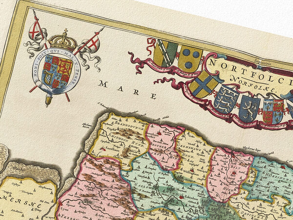
The upper portion of the map is dominated by heraldic decoration. The Royal Arms establish the authority of the monarchy, while the title cartouche incorporates nine shield positions. Seven contain family coats of arms and two were left blank, a feature found on several maps in Blaeu’s English county series.
These arms associate Norfolk with its noble families, titles and traditions of landownership. They also provide a richly coloured visual counterpoint to the detailed network of towns, villages, rivers and historic divisions shown across the county.
Today Blaeu’s map offers a compelling portrait of Norfolk before railways, modern roads and large-scale urban development altered its landscape. It remains both a valuable record of the historic county and an outstanding example of seventeenth-century decorative cartography.





 Verified owner