Old Maps of Great Britain

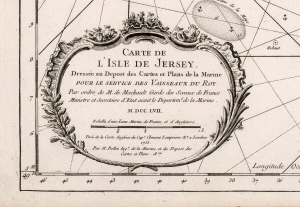
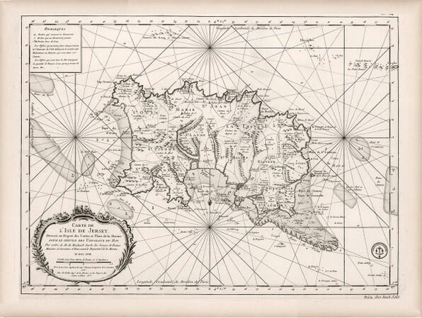
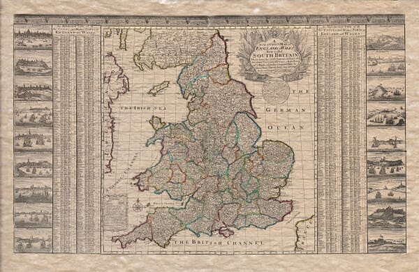
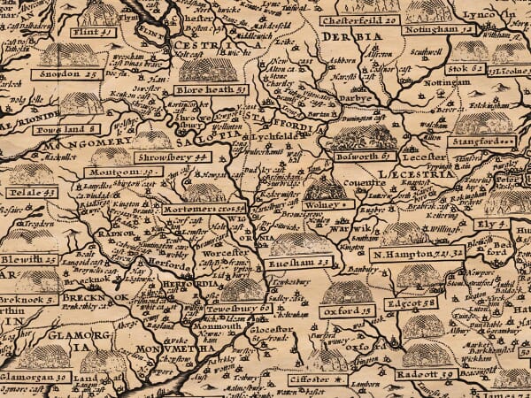
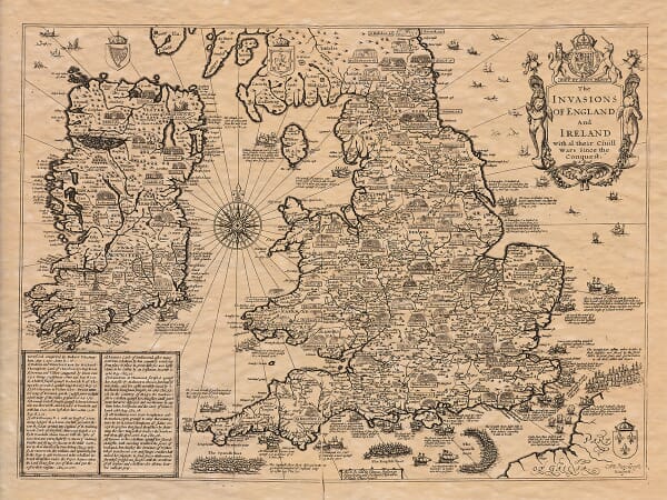
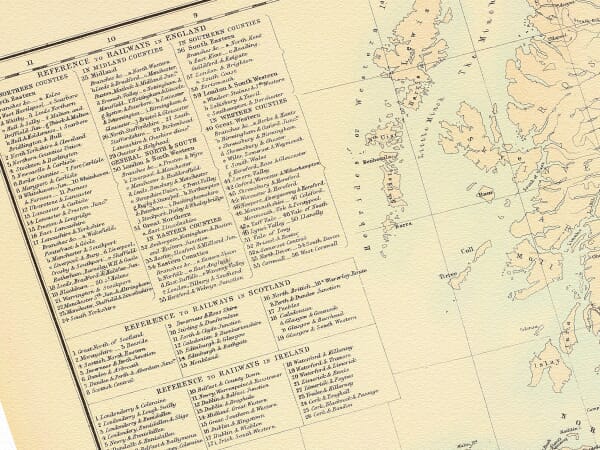
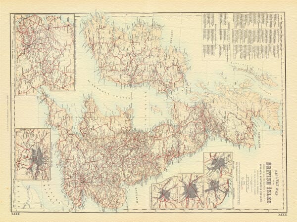
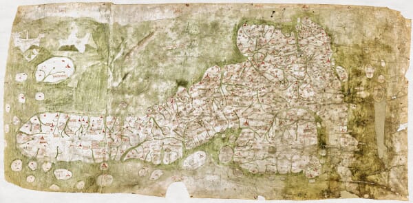
Explore our collection of old maps of Great Britain and the British Isles, including richly decorated early maps, historic surveys and detailed views of England, Scotland and Wales.

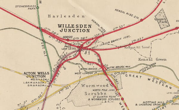
The collection records changing kingdoms, coastlines, county boundaries, roads and settlements across several centuries of British cartography. It includes works by celebrated mapmakers such as John Speed, Joan Blaeu and later surveyors, offering both historical interest and distinctive wall art.

Our fine art editions are printed individually in Cornwall using archival pigment inks on heavy textured art paper.

Showing 17–22 of 22 results

×
Product added to cart
No products in the cart.