£29.95 – £59.95Price range: £29.95 through £59.95
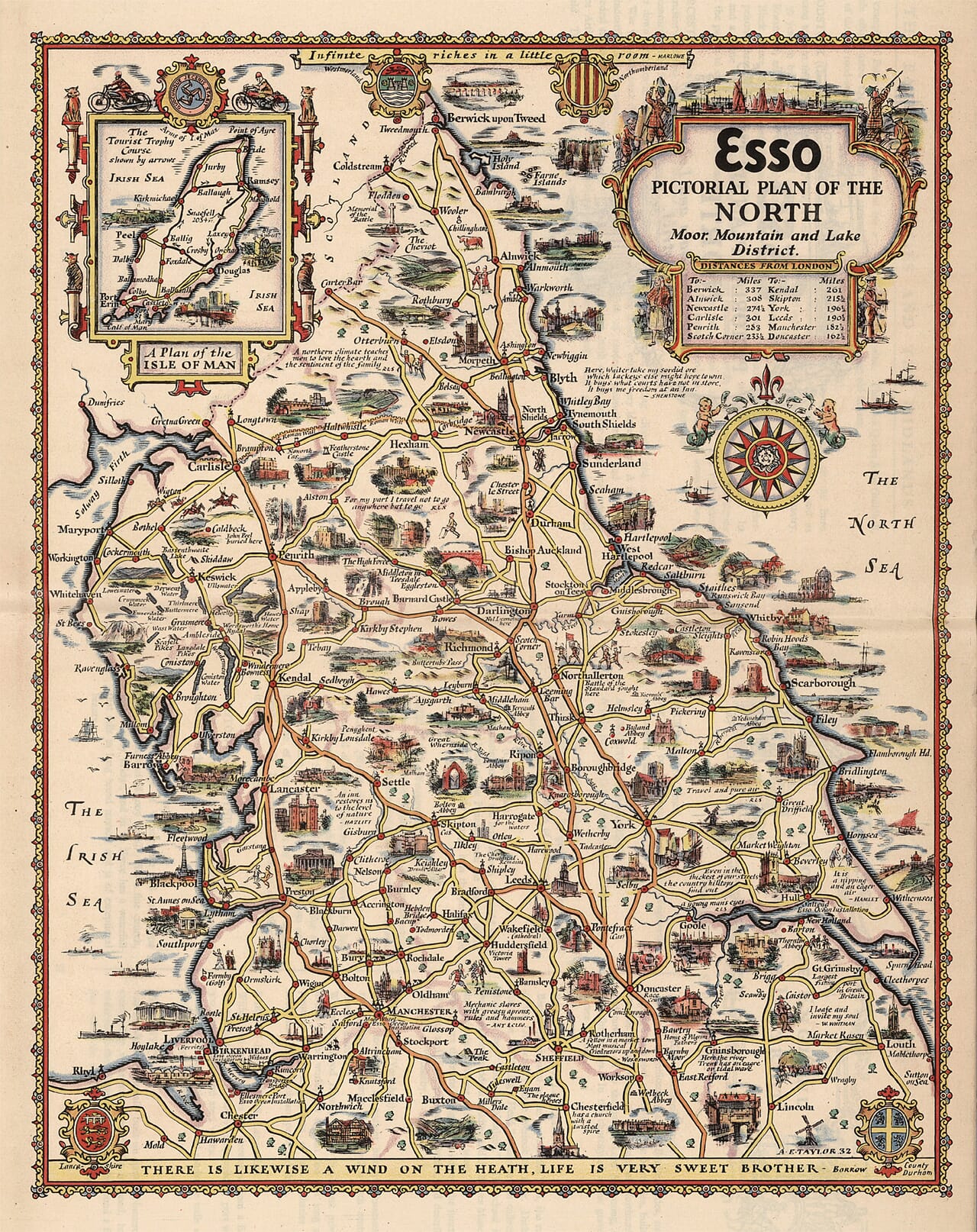
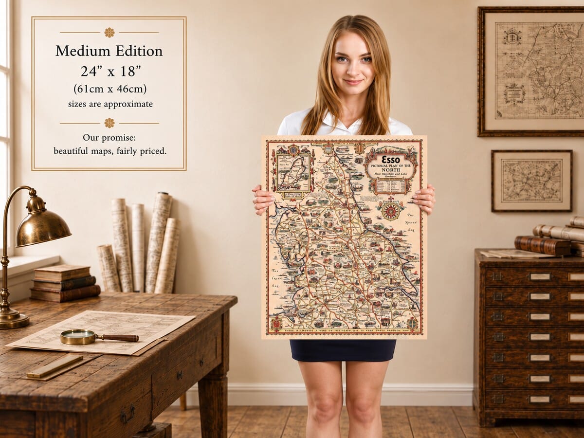
The North: Moor, Mountain and Lake District, by Alfred E. Taylor, from a design dated 1932.
Northern England unfolds from the Mersey and the Humber to the Scottish border in this decorative Esso road map. Taylor places the Lake District, Yorkshire and Northumberland alongside the great manufacturing towns, filling the landscape with abbeys, castles, harbours and local characters. An inset gives the Isle of Man its own space, complete with the Tourist Trophy course marked by arrows. The result has the scope of a regional map and the detail of an illustrated travel book. Warm colouring, elaborate shields and a bold compass rose make it attractive across a room, while familiar place names and tiny scenes reward closer inspection. An absorbing fine art print for anyone with northern roots or favourite journeys through the region.
Size
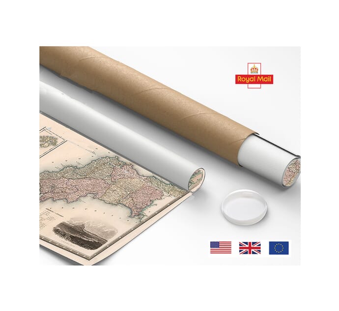
UK delivery just £4.95 per order · International delivery available.
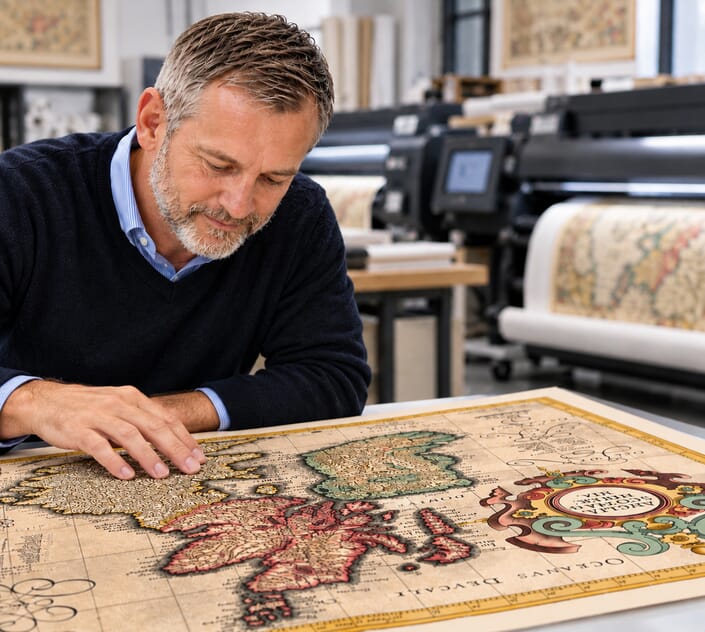
Unlike most online offerings, our maps are produced entirely in-house, not outsourced to print-on-demand or drop-shipping services. This allows complete control over quality while offering better value. Each map begins with a high-resolution original, carefully enhanced and printed to order using archival papers and pigment inks for exceptional clarity, depth, and longevity. Every piece is personally overseen — no map leaves our workshop unless it is of a quality we would be proud to display ourselves.
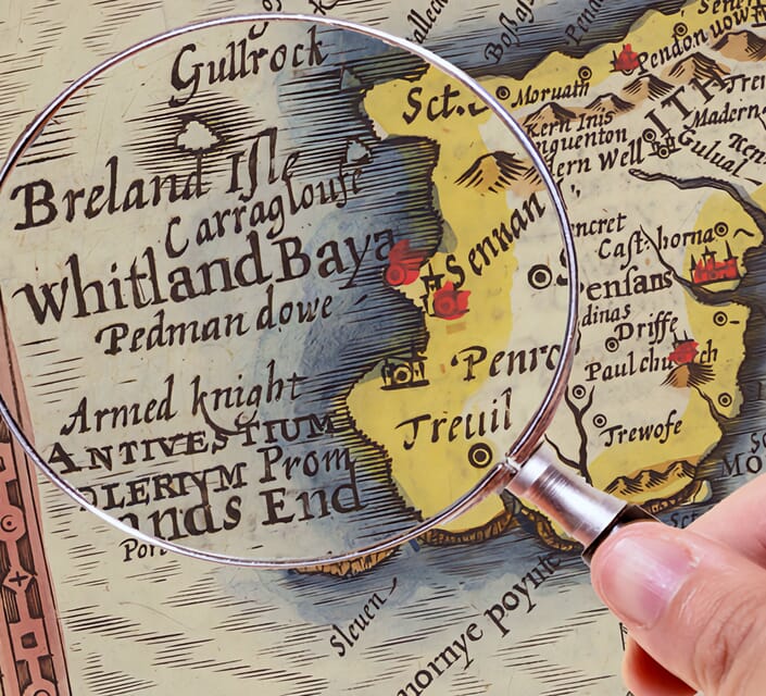
Paper choice is essential to the authenticity of our maps. We use specially sourced 190gsm paper made in the UK from pure materials and traditionally pressed with natural woollen felts. This process creates a subtle, randomly textured surface that closely resembles an original antique document. Likewise the use of premium quality ink fully saturates the paper, producing remarkable clarity, depth, and historical character. Colour fastness and sharpness will remain good for in excess of 100 years!
The Old Map Company of Great Britain offers a vast and carefully curated collection of the very finest expertly reproduced vintage maps. Our range includes works by renowned cartographers such as John Speed and Willem Blaeu, covering Scotland, England, and beyond. UK delivery is just £4.95 per order, with EU, USA, and worldwide shipping available at cost and calculated at checkout. If you need assistance, our team is always happy to help you choose the perfect map.
Speedy delivery A beautiful representation
Got there in time and loves it! Cheers David [Gift from US to UK]
Thanks Lauren. We received it today - it's gorgeous! Thank you, Ellan
Thank you for your prompt service. I have a gallery and framing business in South Wales. I'm so pleased it is printed in the UK
My Isles of Scilly map arrived safely and I'm delighted with it!
The print arrived safely and we're delighted with it - a lovely reminder of our honeymoon 15 years ago.
I have just received them! I'm sure our clients will be pleased with them and there could be more projects off the back of this one where we can use more. [Interior Designers]
I just received my map of Ireland by Ewart today and, as usual, I am delighted by its quality. The crispness and fineness of detail is excellent and the colour reproduction surpasses my expectations. Please relay my thanks to Steve for another fine effort!
Many thanks, Lauren. Very pleased with the map and the service: would recommend The Old Map Company to anyone interested in Old Maps.
Many thanks, the map arrived safely this morning, and I’m really pleased with it. A stunning reproduction, just as I had hoped. I will keep browsing your website, and may yet be tempted by more of your items! Have a great weekend.
Just arrived, wonderful map! Thanks very much!
The map – beautiful – arrived safely, very many thanks.
Thank you, I have already found the map. It’s wonderfull! Good luck! Rasa
My apologies for the very late reply. I wanted to reach out to thank you so much for rushing my order. My partner absolutely loved it. I am amazed with the service so that is a five-star from me. I wish you all the best.
Taylor’s northern map brings together landscapes that are often considered separately. Liverpool and Manchester occupy the lower left, Sheffield lies towards the bottom, and the roads continue north through Yorkshire and the Lake District to Northumberland. Seas frame both sides. The subtitle draws attention to moor, mountain and lake scenery, but the illustrations also give substantial space to ports, factories and busy towns. Rural beauty and working life belong within the same view.
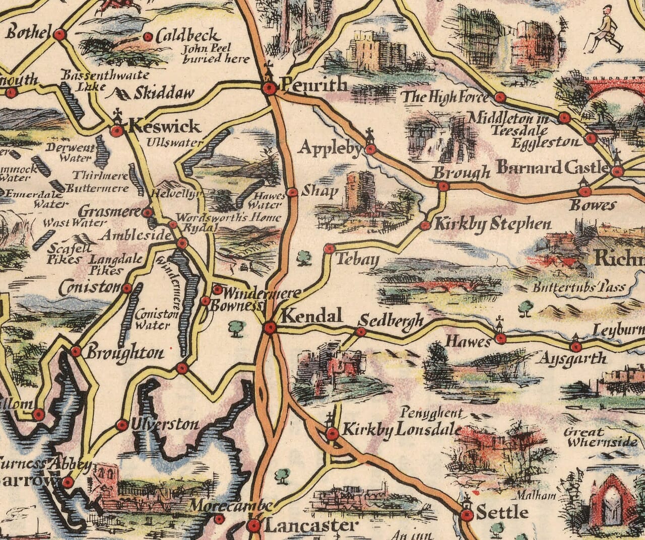
The Lake District forms a particularly inviting cluster of names and pictures. Windermere, Coniston and Ullswater are shown among the roads through Kendal, Ambleside and Keswick. Mountains receive individual labels, while literary associations appear near the lakeside settlements. The coastline continues through Whitehaven and Maryport towards the Solway Firth. Carlisle then becomes a meeting point between western routes and the country stretching eastwards, making the relationship between coast, valleys and borderlands easy to follow.
Across Northumberland, castles and coastal places punctuate the route towards Berwick upon Tweed. Alnwick, Bamburgh and Holy Island provide especially recognisable stopping points, with the Farne Islands offshore. Inland names lead towards the Cheviots and the border country. Farther south, Newcastle and the Tyne introduce a denser arrangement of settlements, followed by Sunderland and Durham. Taylor’s drawings allow ecclesiastical buildings, defensive landmarks and working waterfronts to share the same small area without losing their individual character.
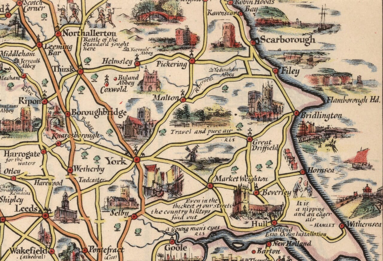
Yorkshire occupies a generous central stretch. York forms a clear road junction, while Harrogate, Ripon and Richmond open routes towards the dales. Abbeys and ruined buildings add interest between the towns. On the coast, Whitby, Scarborough and Bridlington create a different sequence of destinations, extending towards the Humber and Hull. The map makes these seaside places feel connected to their inland neighbours, rather than treating the coast as a separate strip of holiday scenery.
Lancashire and the West Riding supply another kind of detail. Blackpool stands out on the western shore, while Preston, Blackburn, Burnley and the towns around Manchester fill the inland network. Leeds, Bradford and Halifax appear across the Pennine side of the composition. Small industrial scenes and annotations acknowledge the region’s manufacturing identity. For viewers whose family histories are linked with these towns, those details can be as engaging as the better known mountain views and famous buildings.
The Isle of Man inset is a particularly distinctive feature. It includes Douglas, Ramsey, Peel and Castletown, together with Snaefell and the indicated Tourist Trophy course. Motorcycles above the frame underline that sporting association. Elsewhere, county arms and a distance table add order to the abundance of pictures. The inset also changes the experience of reading the sheet: the eye leaves the mainland for a compact island journey, then returns to the longer northern routes. Across both parts, Taylor invites recognition and curiosity in equal measure. A familiar town can become the starting point for tracing neighbouring valleys, following a road towards the coast or discovering a landmark drawn just beyond the places one already knows and remembers from earlier journeys through this varied northern landscape.