£29.95 – £59.95Price range: £29.95 through £59.95
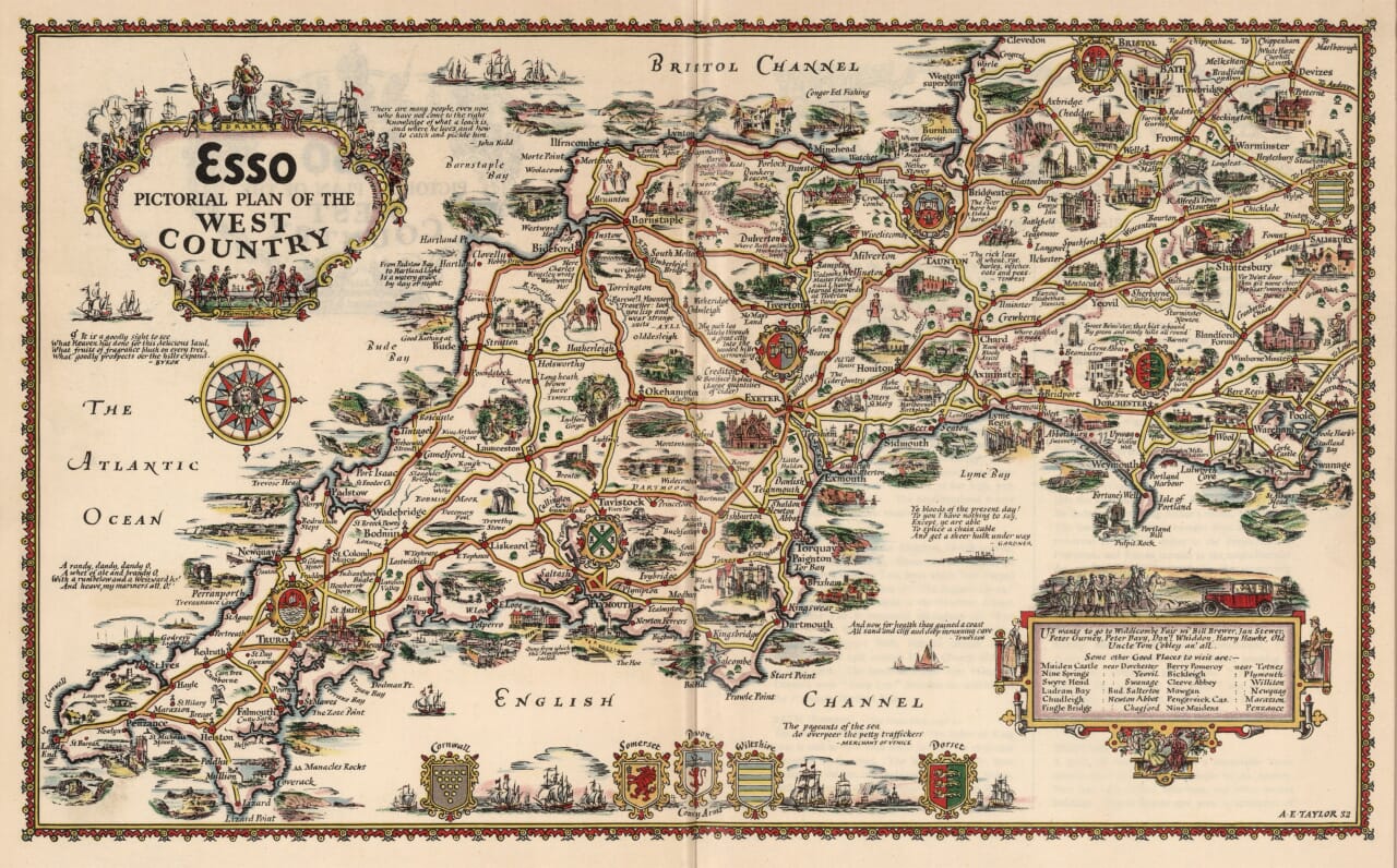
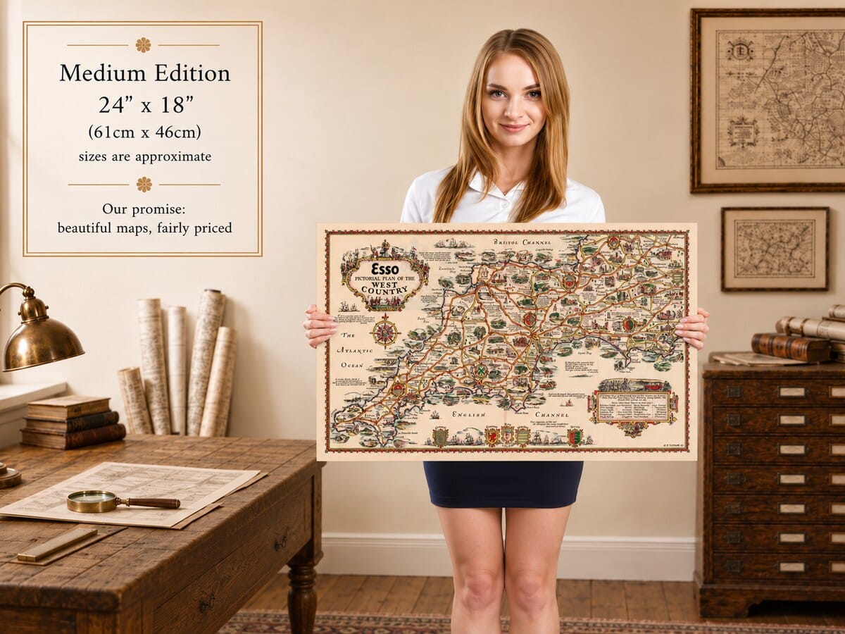
The West Country in pictures, by Alfred E. Taylor, from a design dated 1932.
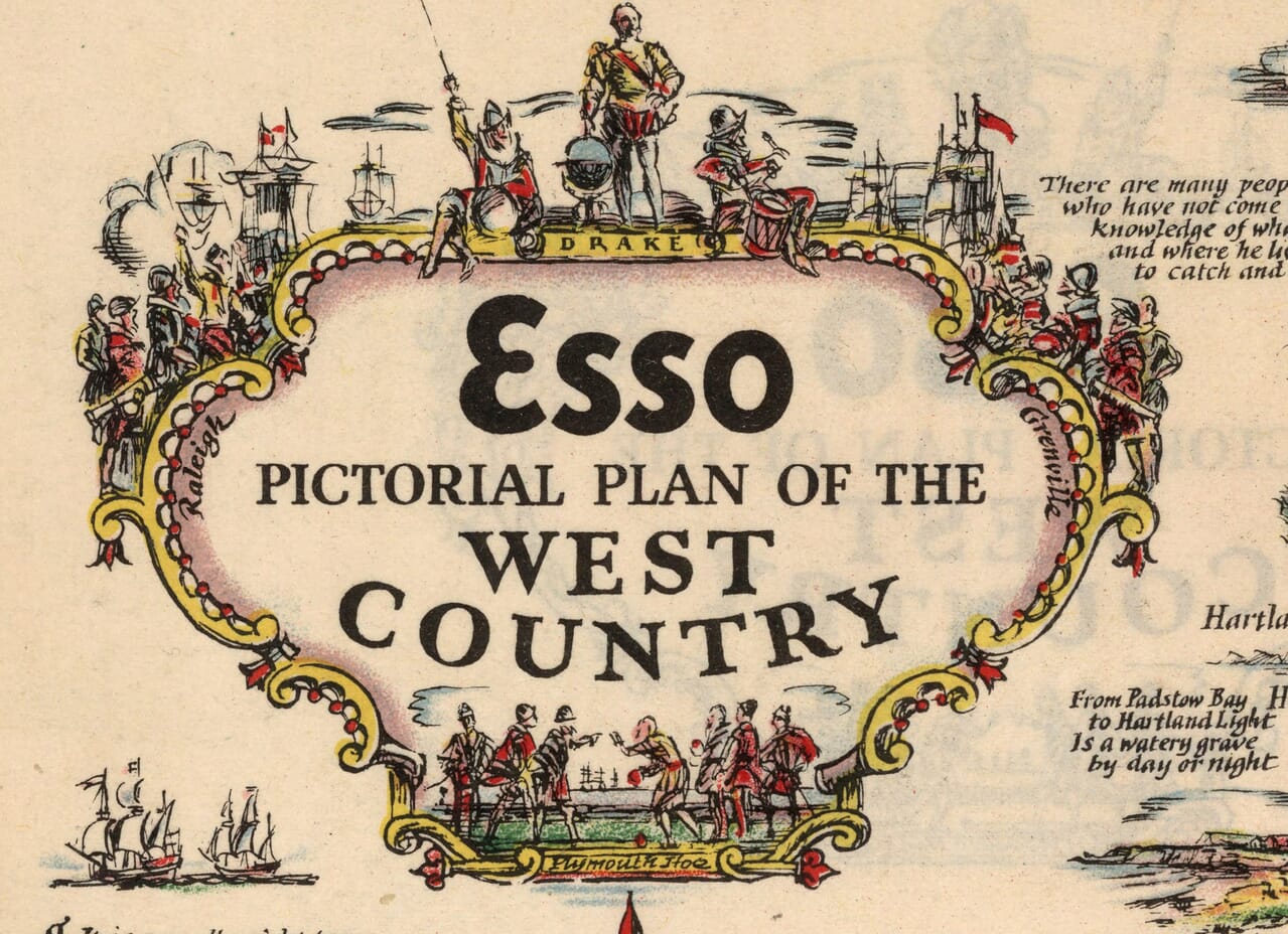
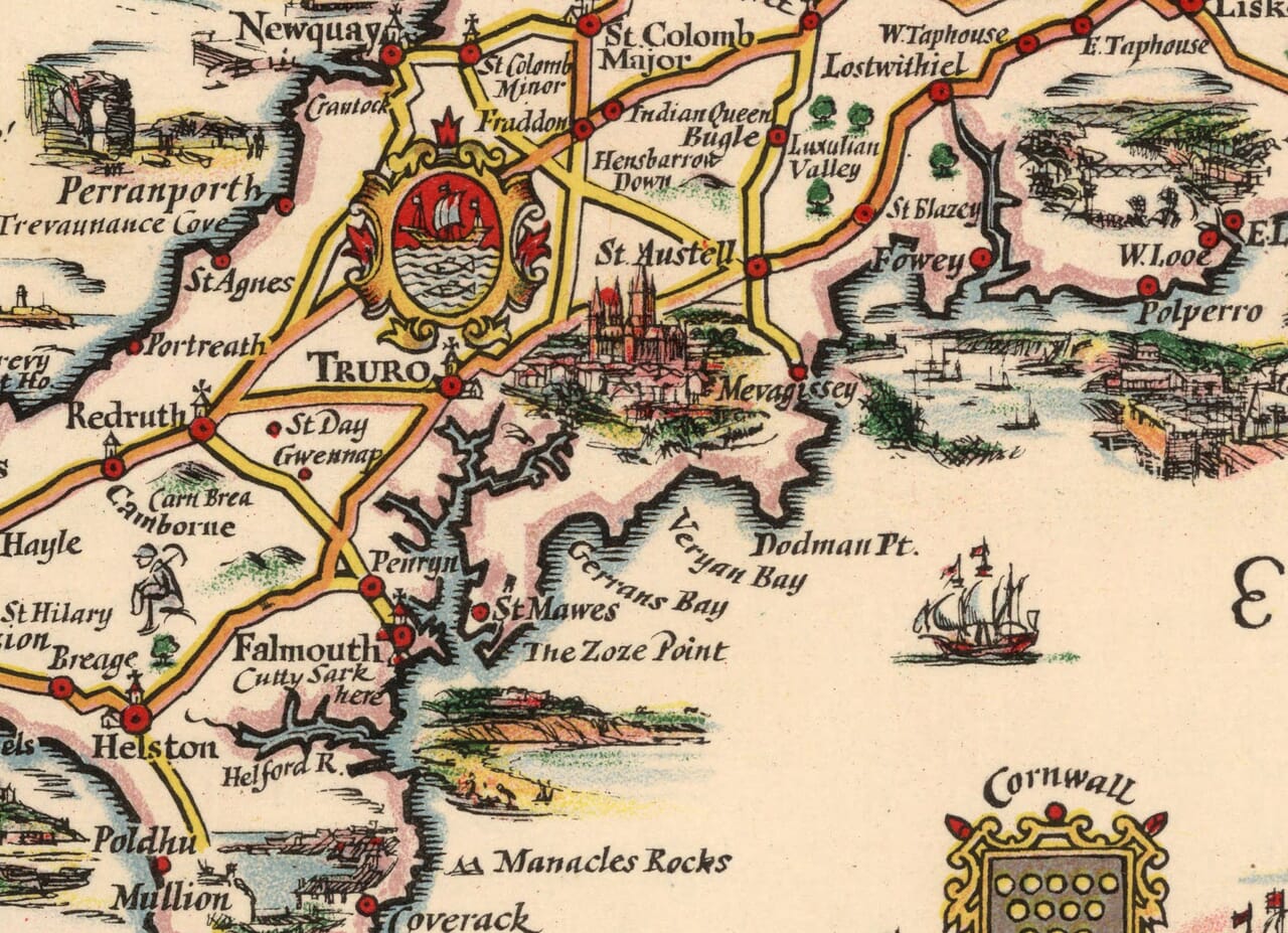
Cornwall’s long peninsula stretches across this Esso map towards Devon, Somerset, Dorset and the western edge of Wiltshire. Fishing harbours, cathedral cities and open moorland appear in a lively patchwork of small illustrations, joined by the roads of an earlier motoring age. Land’s End, Dartmoor, Exeter and Bath are among the familiar landmarks, with many smaller places waiting between them. Ships fill the surrounding seas, county arms decorate the lower border, and the title is framed by figures associated with the region’s maritime past. This fine art reproduction brings together the pleasures of a coastal journey and the quieter interest of inland towns, making an inviting print for anyone attached to the West Country.
Size
UK delivery just £4.95 per order · International delivery available.
Unlike most online offerings, our maps are produced entirely in-house, not outsourced to print-on-demand or drop-shipping services. This allows complete control over quality while offering better value. Each map begins with a high-resolution original, carefully enhanced and printed to order using archival papers and pigment inks for exceptional clarity, depth, and longevity. Every piece is personally overseen — no map leaves our workshop unless it is of a quality we would be proud to display ourselves.
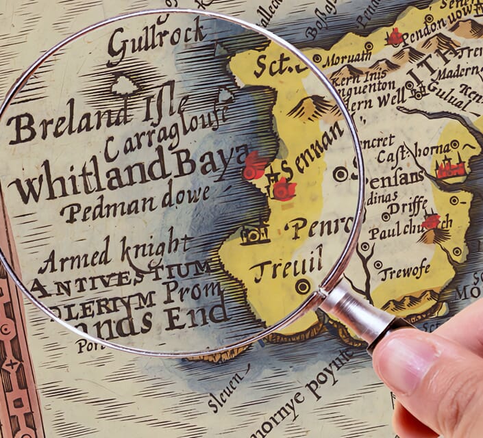
Paper choice is essential to the authenticity of our maps. We use specially sourced 190gsm paper made in the UK from pure materials and traditionally pressed with natural woollen felts. This process creates a subtle, randomly textured surface that closely resembles an original antique document. Likewise the use of premium quality ink fully saturates the paper, producing remarkable clarity, depth, and historical character. Colour fastness and sharpness will remain good for in excess of 100 years!
The Old Map Company of Great Britain offers a vast and carefully curated collection of the very finest expertly reproduced vintage maps. Our range includes works by renowned cartographers such as John Speed and Willem Blaeu, covering Scotland, England, and beyond. UK delivery is just £4.95 per order, with EU, USA, and worldwide shipping available at cost and calculated at checkout. If you need assistance, our team is always happy to help you choose the perfect map.
Speedy delivery A beautiful representation
Got there in time and loves it! Cheers David [Gift from US to UK]
Thanks Lauren. We received it today - it's gorgeous! Thank you, Ellan
Thank you for your prompt service. I have a gallery and framing business in South Wales. I'm so pleased it is printed in the UK
My Isles of Scilly map arrived safely and I'm delighted with it!
The print arrived safely and we're delighted with it - a lovely reminder of our honeymoon 15 years ago.
I have just received them! I'm sure our clients will be pleased with them and there could be more projects off the back of this one where we can use more. [Interior Designers]
I just received my map of Ireland by Ewart today and, as usual, I am delighted by its quality. The crispness and fineness of detail is excellent and the colour reproduction surpasses my expectations. Please relay my thanks to Steve for another fine effort!
Many thanks, Lauren. Very pleased with the map and the service: would recommend The Old Map Company to anyone interested in Old Maps.
Many thanks, the map arrived safely this morning, and I’m really pleased with it. A stunning reproduction, just as I had hoped. I will keep browsing your website, and may yet be tempted by more of your items! Have a great weekend.
Just arrived, wonderful map! Thanks very much!
The map – beautiful – arrived safely, very many thanks.
Thank you, I have already found the map. It’s wonderfull! Good luck! Rasa
My apologies for the very late reply. I wanted to reach out to thank you so much for rushing my order. My partner absolutely loved it. I am amazed with the service so that is a five-star from me. I wish you all the best.
The shape of the West Country gives this map much of its energy. Cornwall reaches into the Atlantic at the lower left, while the coast curves towards the Bristol Channel above and the English Channel below. Devon, Somerset and Dorset broaden the landscape eastwards, with Bath and Salisbury near the outer edges. Taylor uses this long, irregular outline to organise a journey through harbours, market towns and quiet inland country, rather than a simple list of destinations.
Cornwall is densely supplied with recognisable names. St Ives and Penzance occupy opposite sides of the western peninsula, with St Michael’s Mount clearly identified near Marazion. Farther east, Truro, Falmouth and the Fal estuary introduce another cluster of settlements. The north coast runs through places including Newquay, Padstow and Tintagel. Taylor mixes coastal views with small individual buildings and local associations, so that the road becomes a thread linking several different versions of Cornish life.
Devon is divided by its contrasting coasts and uplands. Plymouth stands prominently beside the Tamar, while the southern route continues towards Dartmouth, Brixham and Torquay. Inland, Dartmoor occupies a broad space among Tavistock, Okehampton and the roads towards Exeter. The moor is not treated as empty ground: named features and little scenes give it its own presence. On the north coast, Bideford, Barnstaple and Ilfracombe form another sequence, with Exmoor continuing the upland theme towards Somerset.
Exeter and Wells provide architectural landmarks within the road network, their cathedral associations standing out among smaller settlements. Glastonbury, Cheddar and Bath add different points of interest across Somerset. Around them, the map gives attention to bridges, village churches and country houses, reminding the viewer that a touring holiday could be built from modest stops as well as famous sights. Bristol, at the upper edge, connects this landscape with a larger port and urban centre.
Dorset carries the journey along Lyme Bay through Lyme Regis and Bridport towards Weymouth and the Isle of Portland. Farther east, Lulworth, Corfe Castle and Swanage bring striking coastal and architectural landmarks into a small area. Dorchester anchors the inland routes, while Sherborne and Shaftesbury appear farther north. These places are not arranged as isolated attractions: the branching roads make it easy to imagine how a traveller might combine a seaside stay with an inland excursion.
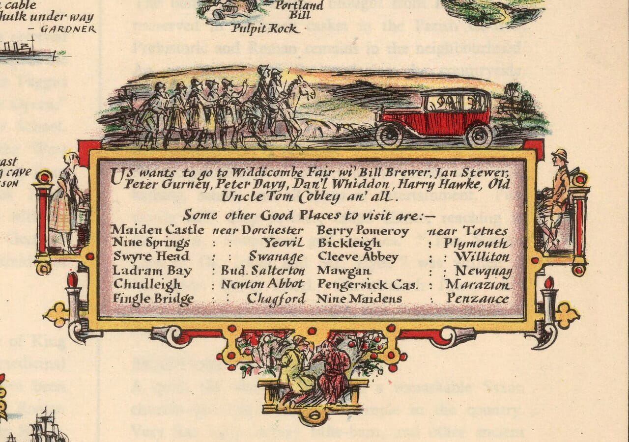
Some of the most enjoyable details sit outside the road system. Sailing vessels occupy the surrounding waters, heraldic shields identify counties, and the elaborate title gives the sea a theatrical cast of characters. A boxed selection of additional places encourages further detours, while the Widecombe Fair reference introduces a note of local humour. The result is both expansive and intimate. From a distance, the peninsula and its two coastlines establish a strong decorative shape; close up, individual ports and villages become the subject. It is especially rewarding to follow a familiar route through the picture and notice what Taylor chose to emphasise, whether a celebrated building, a stretch of rough coast or an apparently unassuming place carrying its own small story.