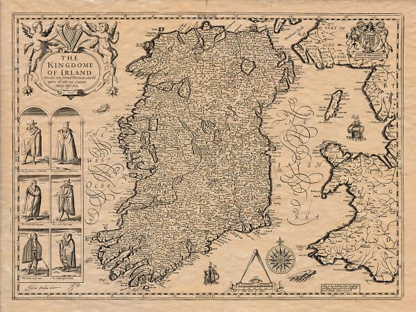
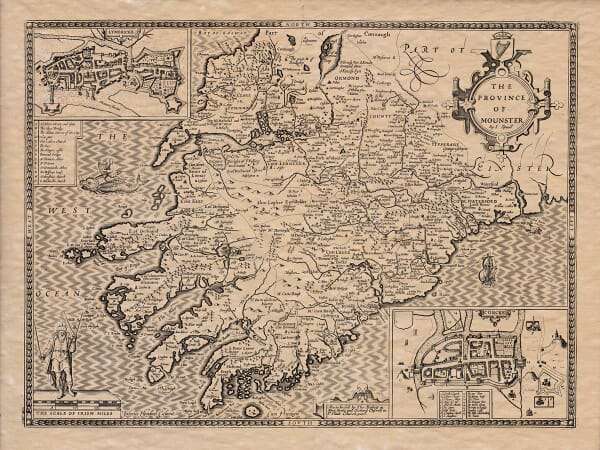
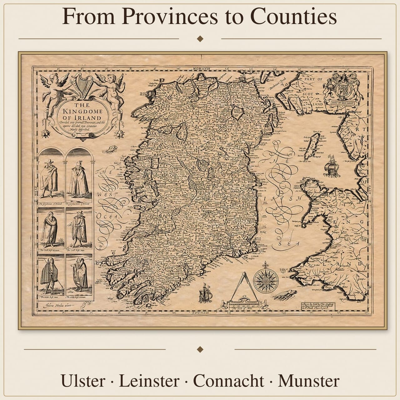
This collection brings together old maps of Ireland at national, provincial, county and city scales.
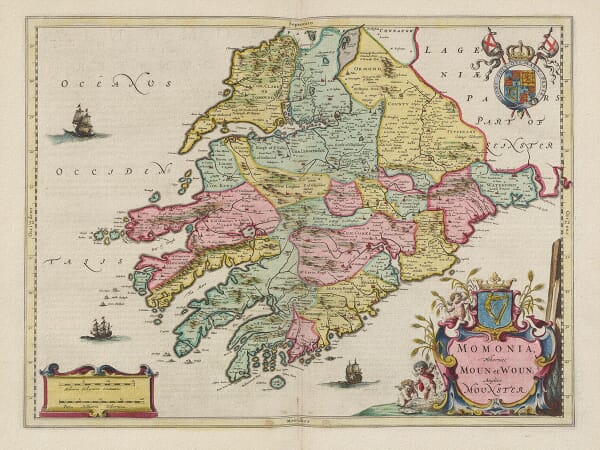
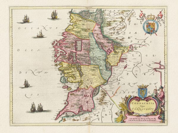
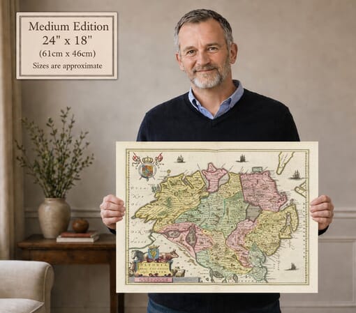
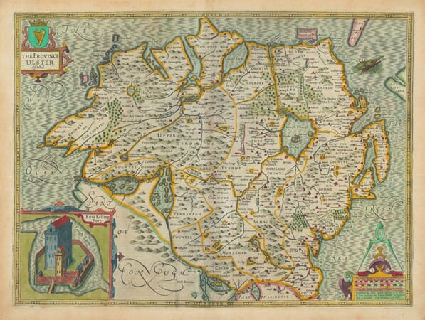
It includes maps of Ulster, Leinster, Connacht and Munster, detailed plans of Dublin, and works by cartographers including John Speed, John Rocque and Frederik de Wit. Across several centuries, these maps record historic county boundaries, rivers, coastlines, settlements, estates and changing forms of Irish place names.
Together they provide evidence of how Ireland and its regions were surveyed, organised and represented by successive mapmakers.
Ireland Through Provinces, Counties and Cities
The Four Historic Provinces
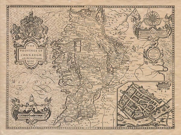
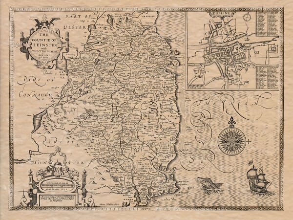
Ulster, Leinster, Connacht and Munster provide the underlying structure of many early maps of Ireland. Provincial maps allowed cartographers to include considerably more detail than was possible on a single national map, recording rivers, lakes, mountain ranges, towns, ecclesiastical sites and smaller settlements across the landscape.
Historic Counties and Changing Boundaries
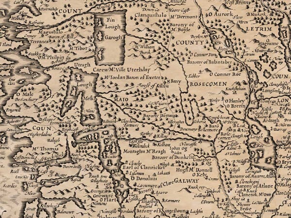
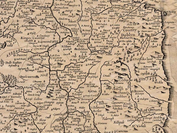
County maps preserve boundaries and place names from a particular period rather than presenting Ireland as it appears today. Familiar locations may appear under older spellings, while roads, expanding cities and later development are absent. Differences between maps also reveal how surveying and geographical knowledge changed over time.
Speed, Rocque and De Wit
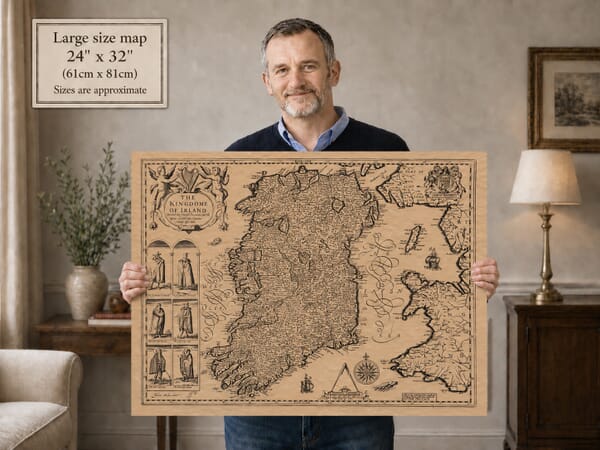
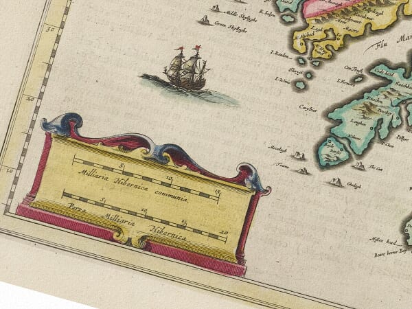
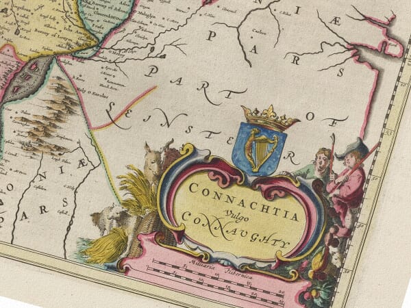
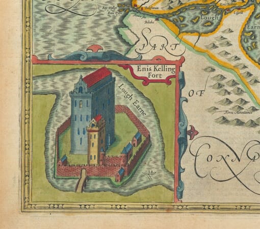
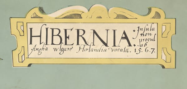
The collection includes work associated with influential mapmakers such as John Speed, John Rocque and Frederik de Wit. Their maps range from richly decorated seventeenth-century engravings to more measured later surveys. Cartouches, ships, heraldic devices and figured borders often share the page with practical geographical information, giving each map its individual character.
Maps for Local and Family History
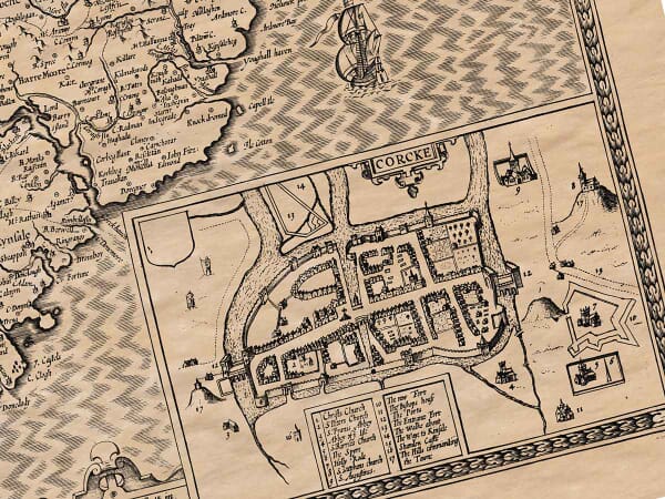
Old maps of Ireland can place a family name, settlement, county or city within its wider historical setting. A national map shows the relationship between the provinces and surrounding seas; county maps provide a closer view of settlements, rivers, estates and local divisions; plans of Dublin and other towns bring the evidence down to individual streets and neighbourhoods.
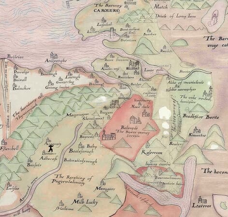
Historic place names require careful interpretation. Spellings were not always fixed and may reflect the mapmaker’s sources, the language or conventions used by the publisher, or the difficulty of transferring local names into print. A familiar place may therefore appear under an unexpected spelling, while smaller settlements may have changed name, merged with neighbouring communities or disappeared from later maps.
These maps are most useful as geographical context rather than as proof of residence, land ownership or ancestry. Read alongside parish registers, census records, valuations and other documentary sources, they can help establish the landscape in which a family lived and the routes connecting nearby communities.
Cartouches, coats of arms, boundary lines and the prominence given to particular towns also reveal how successive publishers organised and presented Ireland for readers of their own time.