



 Verified owner
Got there in time and loves it! Cheers David [Gift from US to UK]
 Verified owner
Thanks Lauren. We received it today - it's gorgeous! Thank you, Ellan
 Verified owner
Thank you for your prompt service. I have a gallery and framing business in South Wales. I'm so pleased it is printed in the UK
 Verified owner
My Isles of Scilly map arrived safely and I'm delighted with it!

The print arrived safely and we're delighted with it - a lovely reminder of our honeymoon 15 years ago.
 Verified owner
I have just received them! I'm sure our clients will be pleased with them and there could be more projects off the back of this one where we can use more. [Interior Designers]
 Verified owner
I just received my map of Ireland by Ewart today and, as usual, I am delighted by its quality. The crispness and fineness of detail is excellent and the colour reproduction surpasses my expectations. Please relay my thanks to Steve for another fine effort!
 Verified owner
Many thanks, Lauren. Very pleased with the map and the service: would recommend The Old Map Company to anyone interested in Old Maps.
 Verified owner
Many thanks, the map arrived safely this morning, and I’m really pleased with it. A stunning reproduction, just as I had hoped. I will keep browsing your website, and may yet be tempted by more of your items! Have a great weekend.
 Verified owner
Just arrived, wonderful map! Thanks very much!
 Verified owner
The map – beautiful – arrived safely, very many thanks.
 Verified owner
Thank you, I have already found the map. It’s wonderfull! Good luck! Rasa
 Verified owner
My apologies for the very late reply. I wanted to reach out to thank you so much for rushing my order. My partner absolutely loved it. I am amazed with the service so that is a five-star from me. I wish you all the best.
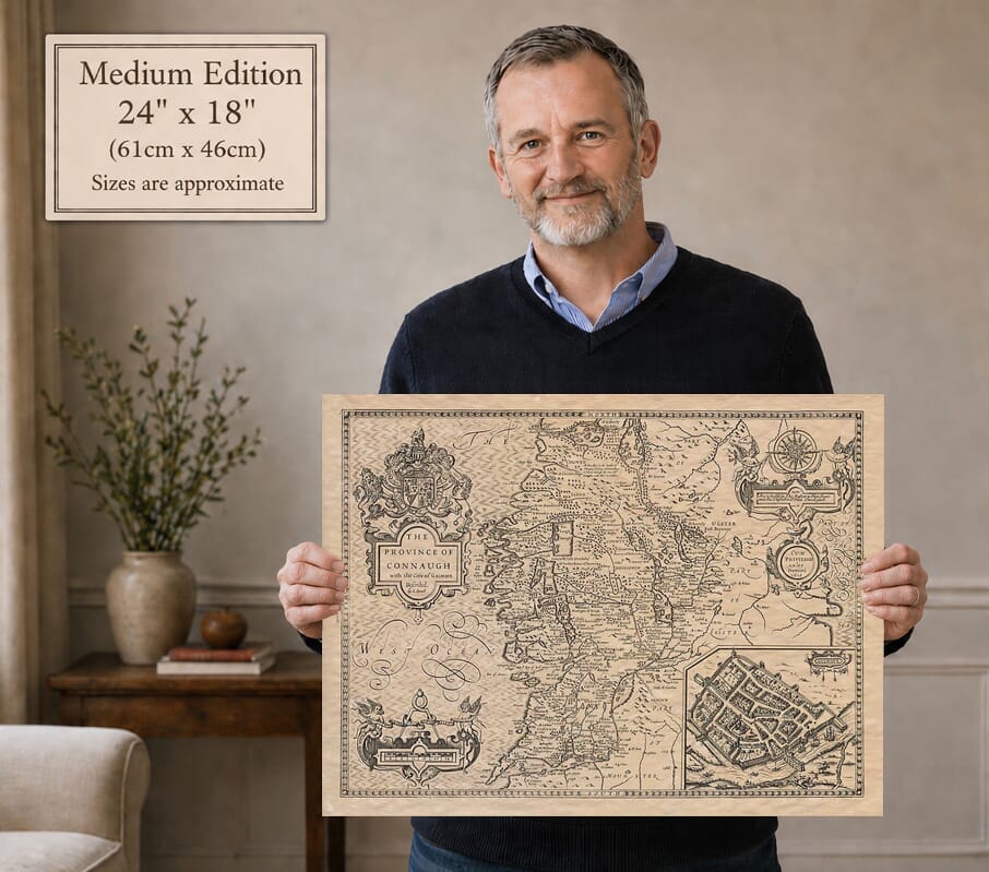
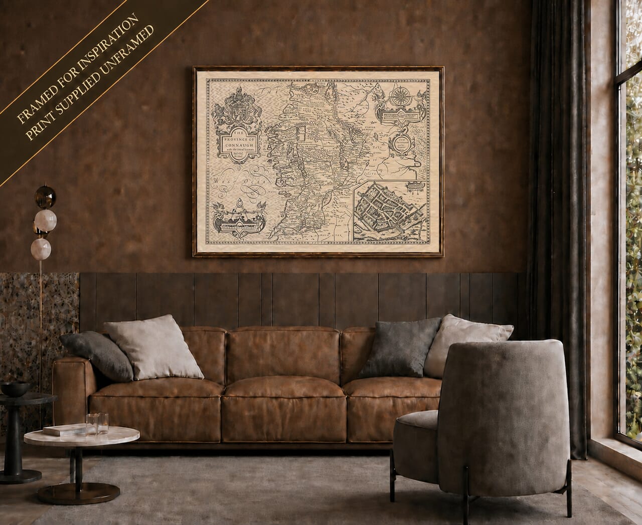
Speed’s map of Connacht combines a survey of western Ireland with a prominent plan of Galway. The title uses the spelling ‘Connaugh’, while the original plate carries the date 1610. On the reproduced example, the later imprint of Richard Chiswell and Thomas Bassett connects the sheet with their 1676 edition of Speed’s atlas.
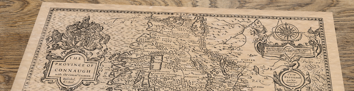
Clare’s position on this map is historically significant. It was administered as part of Connacht between 1568 and 1639, before returning to Munster. The boundary therefore records the administrative geography of Speed’s original design, even though this particular publishing state is later. It is a useful example of how the engraved date, the geography represented and the date of a surviving edition need to be read separately.
The inset at the lower right gives Galway a presence quite different from the smaller settlement symbols elsewhere on the sheet. The town’s enclosing walls, streets and waterside setting can be inspected in detail. Buildings fill the defended town, with vessels outside it emphasising its connection with the sea. The plan introduces a human scale to the broader provincial geography, making it possible to move from a county or river to the closely packed streets of an individual city.
Mayo, Sligo, Leitrim, Roscommon and Galway appear across the main map, with the western coast facing the ‘West Ocean’. Lough Corrib and the Shannon country help orient the reader, while pictorial hills and small tree symbols describe the land in the visual language of early atlas engraving. Place names are often spelled differently from their modern equivalents. Royal arms, a decorative scale and the compass rose frame this dense geographical information. The result is a print with plenty to discover at close range, rather than a simple outline of Ireland’s western province.