Old Maps of Ireland

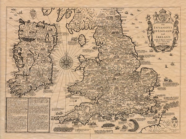
This collection brings together old maps of Ireland at national, provincial, county and city scales.

It includes maps of Ulster, Leinster, Connacht and Munster, detailed plans of Dublin, and works by cartographers including John Speed, John Rocque and Frederik de Wit. Across several centuries, these maps record historic county boundaries, rivers, coastlines, settlements, estates and changing forms of Irish place names.

Together they provide evidence of how Ireland and its regions were surveyed, organised and represented by successive mapmakers.

Historic map of Ireland showing Ulster, Leinster, Connacht, Munster and the old counties

Showing 17–18 of 18 results

×
Product added to cart
No products in the cart.