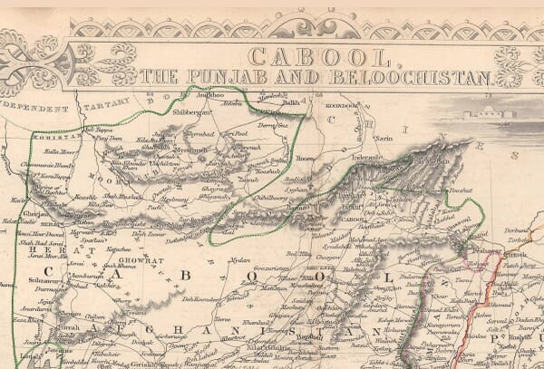
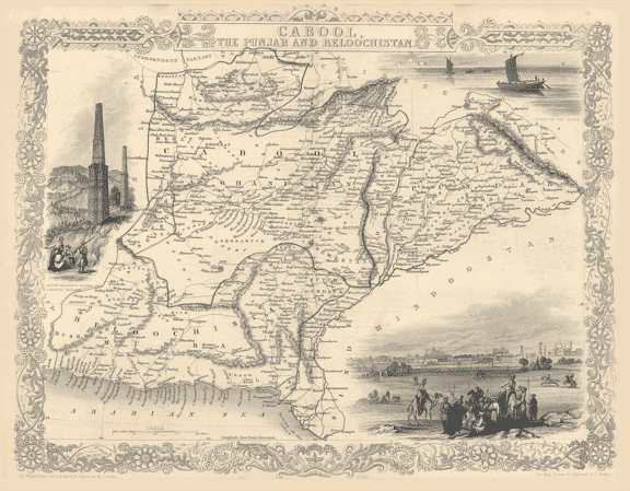
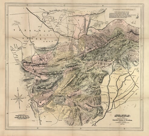
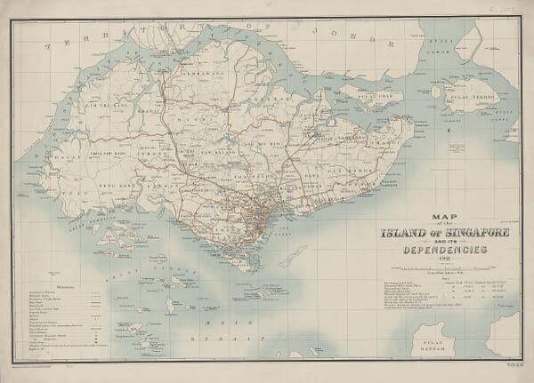
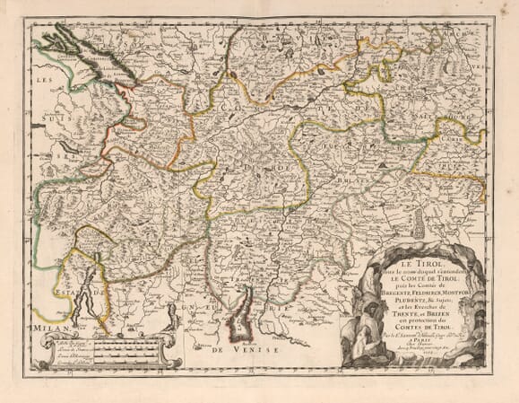
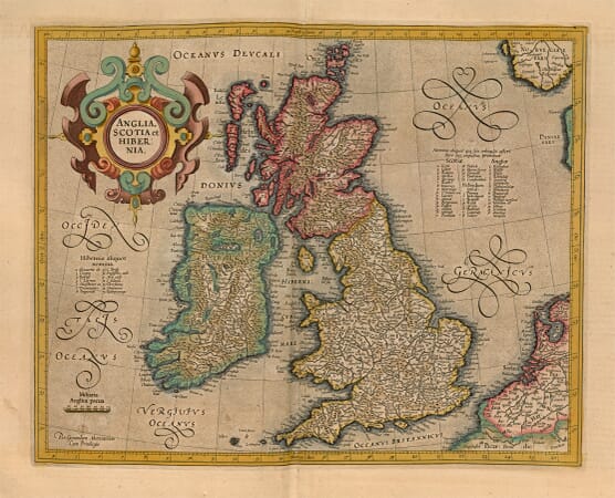
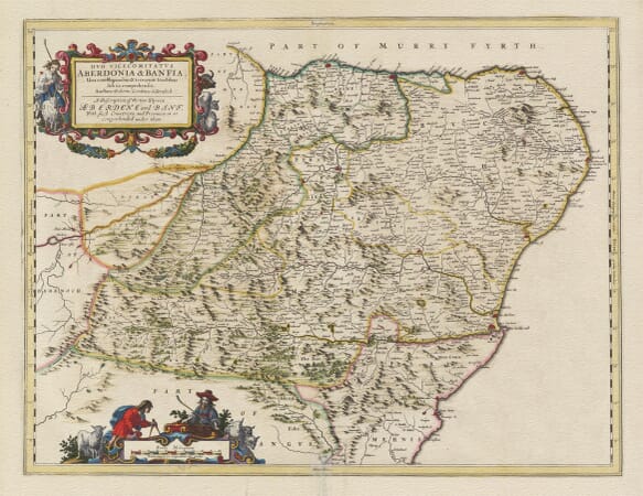
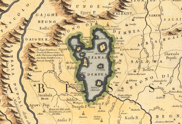
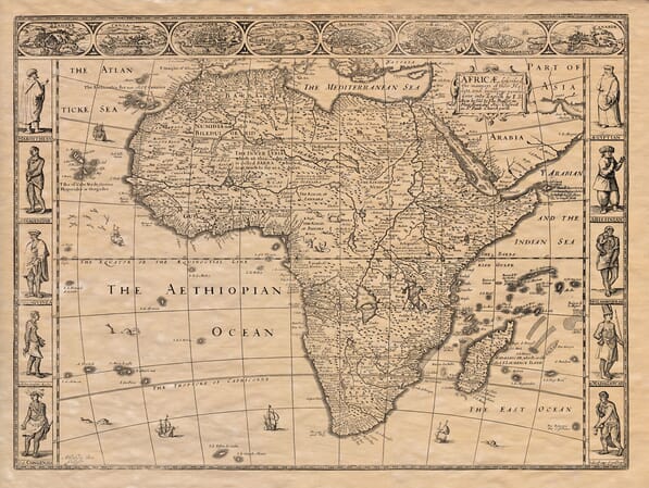
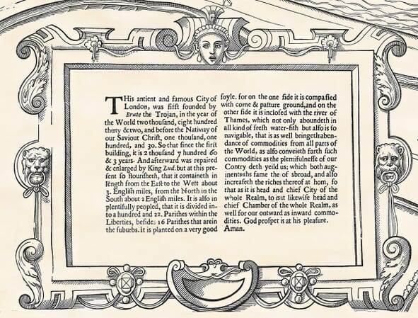
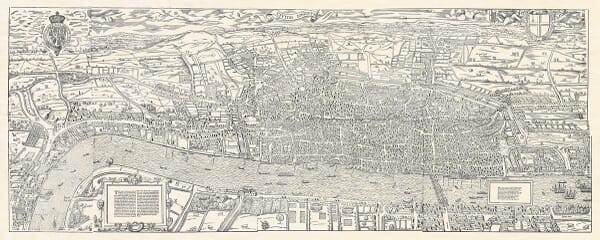
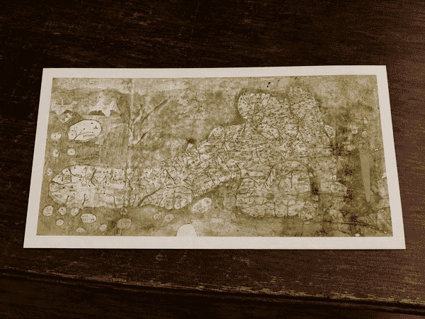
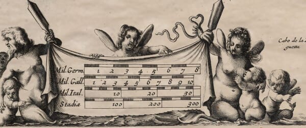
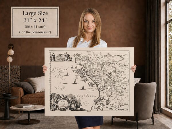
Explore historic maps of Britain and the wider world, reproduced from remarkable works created across several centuries. The collection ranges from county maps and town plans to sea charts, world maps and celestial designs.
Browse by place, period or subject to find a map with a personal connection, a favourite cartographer or simply the visual character that suits your room.
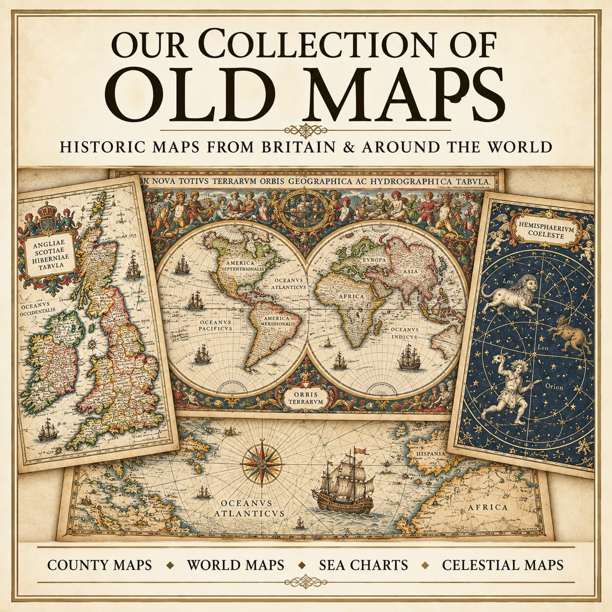


A birthplace, a familiar coastline or a favourite city can be a good starting point. Browse old maps of British counties, countries across Europe and the wider world, or choose a town plan for a closer view of streets, harbours and landmarks.
The collection brings together historic county maps, city plans, world maps, sea charts and celestial maps. Compare the decorative work of John Speed and the Blaeu family with later maps showing roads, railways and expanding towns. Dates, makers and the area shown are described on individual product pages.
Antique and vintage maps often use boundaries and place names that differ from those familiar today. If you are looking for a particular village or landmark, ask us to help identify a suitable sheet before ordering.
These are modern fine art reproductions of historic maps, rather than original antique sheets. Each print is prepared to preserve the detail and character of its source.