Mercator’s Map of England, Scotland and Ireland
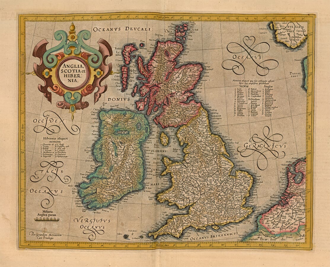
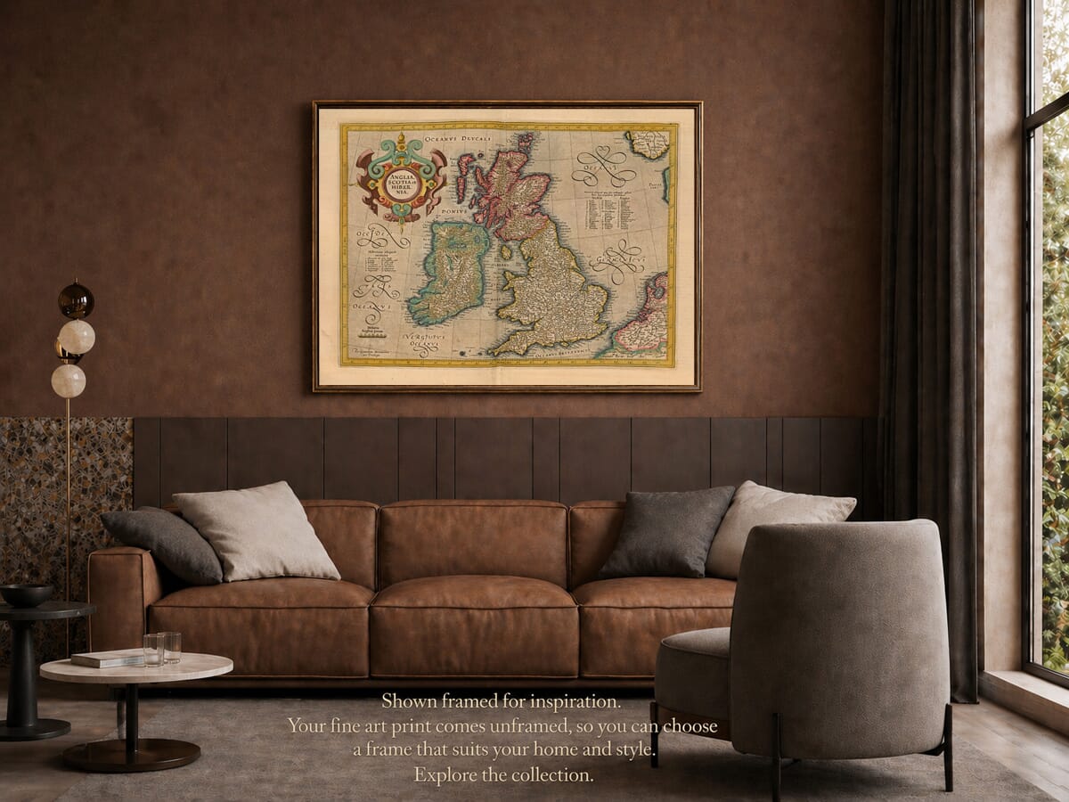
Gerard Mercator’s Anglia, Scotia et Hibernia is one of the most influential early atlas maps of Britain and Ireland. The title translates simply as “England, Scotland and Ireland”, although the engraving also depicts Wales, the surrounding islands and portions of continental Europe.
Mercator first published the plate in 1595 in the final part of his great atlas. The edition reproduced here was issued in Amsterdam by Henricus Hondius in 1623, nearly three decades after Mercator’s death.
Map Details
- Original title: Anglia, Scotia et Hibernia
- English translation: England, Scotland and Ireland
- Cartographer: Gerard Mercator
- Original publication: Duisburg, 1595
- Edition reproduced: Amsterdam, 1623
- Publisher of this edition: Henricus Hondius
- Atlas: Atlas sive Cosmographicae Meditationes de Fabrica Mundi et Fabricati Figura
- Regions shown: England, Wales, Scotland, Ireland and the surrounding islands
- Additional coverage: Northern France, the Low Countries and parts of the North Sea coast
- Approximate scale: 1:4,000,000
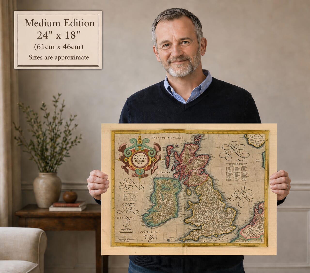
- Original dimensions: Approximately 41 × 33 cm
- Format: Copperplate engraving with hand colouring
- Relief: Mountains represented pictorially
- Decorative features: Strapwork title cartouche and calligraphic sea names
From Mercator to Hondius
Gerard Mercator completed this map late in his life. It appeared in 1595 when the final part of his atlas was published by his family. Mercator’s use of the word “atlas” for a collection of maps helped establish the term that remains familiar today.
In 1604, Jodocus Hondius acquired Mercator’s surviving copperplates. He republished and expanded the atlas from Amsterdam, preserving Mercator’s name while adding new maps to meet the growing European appetite for geographical knowledge.
Following Jodocus Hondius’s death, the publishing business continued through his family. Henricus Hondius issued the 1623 edition represented by this map, retaining Mercator’s original plate and cartographic design.
This history explains why the map can properly be described as both a Mercator map and a Hondius edition.
Britain before Political Union
When this edition appeared in 1623, England and Scotland were still separate kingdoms. They had shared a monarch since 1603, when James VI of Scotland inherited the English throne as James I, but the parliamentary union that created the Kingdom of Great Britain did not occur until 1707.
Wales had been legally incorporated with England during the sixteenth century, although its mountains, rivers and historic regional names remain visually distinct on the engraving. Ireland was a separate kingdom under the same crown and occupies a commanding position to the west.
The map therefore records the British Isles during the Union of the Crowns rather than the later political union. Its Latin title names the principal kingdoms individually instead of using the modern United Kingdom.
England and Wales
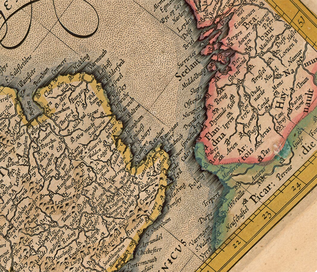
England occupies the lower-right portion of the map, densely filled with towns, rivers and regional names. London appears beside the Thames, while cities including York, Norwich, Bristol, Chester and Exeter provide recognisable reference points.
County and regional names are engraved across the land, accompanied by an extensive network of settlements. Rivers create a strong framework through the country, with the Thames, Severn, Trent and other waterways clearly delineated.
Wales projects into the Irish Sea, separated from England through its mountainous terrain and older place names. The exaggeration of hills is characteristic of Renaissance cartography: the pictorial ranges indicate rugged country rather than measured height.
The map extends southwards across the English Channel to northern France. Coastal towns and regions on the continental side emphasise Britain’s proximity to mainland Europe.
Scotland and the Northern Islands
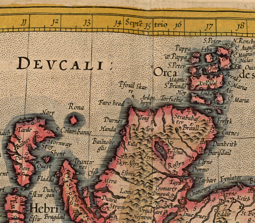
Mercator’s portrayal of Scotland was particularly influential. Its outline, although recognisably distorted by modern standards, remained a model for other European mapmakers well into the seventeenth century.
The Highlands are filled with closely grouped pictorial mountains, while rivers and settlements occupy the valleys and eastern lowlands. Edinburgh, Glasgow, Aberdeen, Inverness and numerous smaller communities can be located among historic spellings.
The Orkney Islands are shown above the Scottish mainland, while the Hebrides form a long chain along the western coast. Their shapes and relative positions reflect the incomplete geographical knowledge available to sixteenth-century cartographers.
The northern detail is one of the map’s most engaging features. Islands that are familiar today appear elongated, enlarged or displaced, revealing the practical difficulties of mapping remote coastlines before systematic marine surveys.
Ireland and the Atlantic Coast
Ireland is coloured separately and occupies much of the western side of the composition. Dublin, Cork, Galway and other settlements appear alongside rivers, lakes, wooded country and traditional provincial names.
The interior contains less information than England, reflecting the uneven sources available to Mercator. Nevertheless, the coastline, principal waterways and regional divisions made this one of the most useful atlas representations of Ireland available at the end of the sixteenth century.
A list of Irish names appears in the surrounding sea, while the waters themselves carry sweeping Latin inscriptions. These flourished letters fill otherwise open areas without obscuring the geography.
An Influential Renaissance Map
The engraving balances geographical information with disciplined decoration. Its large strapwork cartouche contains the abbreviated title, while a simple scale appears in the Atlantic south-west of Ireland.
Unlike more theatrical maps produced later in the seventeenth century, it does not rely on ships, sea monsters or elaborate figure groups. Its visual strength comes from Mercator’s dense engraving, patterned seas, confident lettering and the contrast between the coloured kingdoms.
The map preserves hundreds of historic place names and an influential early outline of the British Isles. For viewers with connections to England, Wales, Scotland or Ireland, it offers both a handsome work of Renaissance cartography and a fascinating record of the islands before the creation of Great Britain.






 Verified owner












