The Story Behind this 1879 Map of Afghanistan
When Jackson and Wyndham’s map of Afghanistan appeared in 1879, it could scarcely have been more topical. Afghanistan had become one of the key territories in the nineteenth-century struggle for influence in Central Asia, lying between the expanding Russian Empire to the north and British-controlled India to the south-east. This rivalry, later popularly described as the Great Game, made knowledge of Afghanistan’s mountains, roads, passes and frontier regions of considerable political and military importance. The Library of Congress collections contain numerous maps from this period reflecting the intense British and Russian interest in the country.
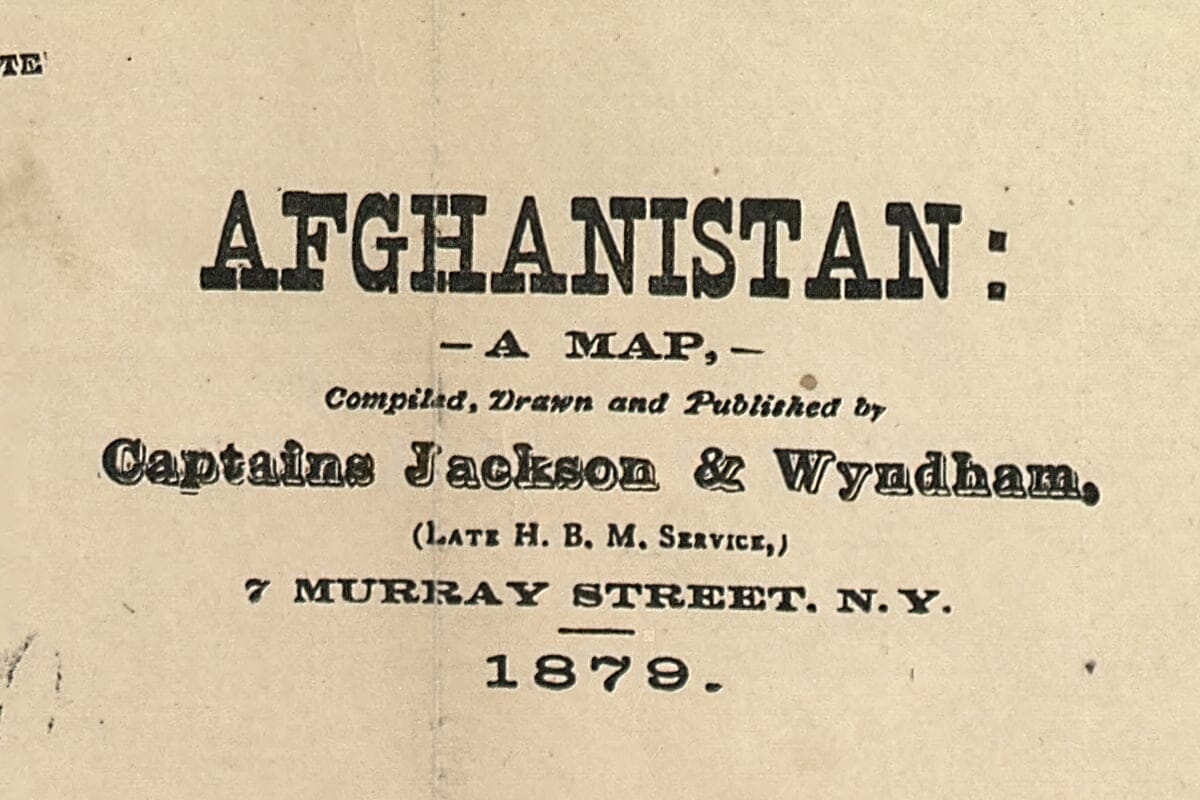
Jackson and Wyndham published Afghanistan: A Map in New York in 1879. The Library of Congress identifies the cartographers as Captain P. Jackson and W. Wyndham and records that the map was accompanied by an earlier 1878 publication entitled War Map of Afghanistan, also compiled and published by Jackson and Wyndham. This connection helps explain the unusually military character of the sheet and the amount of attention given to roads, routes and the difficult terrain surrounding Afghanistan’s principal centres.
The timing was significant. The Second Anglo-Afghan War began in November 1878, when British forces entered Afghanistan after the Afghan government refused to receive a British diplomatic mission. Britain was deeply concerned about growing Russian influence in Central Asia and particularly about the possibility that Afghanistan might fall within the Russian sphere. What began as a diplomatic dispute therefore formed part of the much wider rivalry between the two empires.
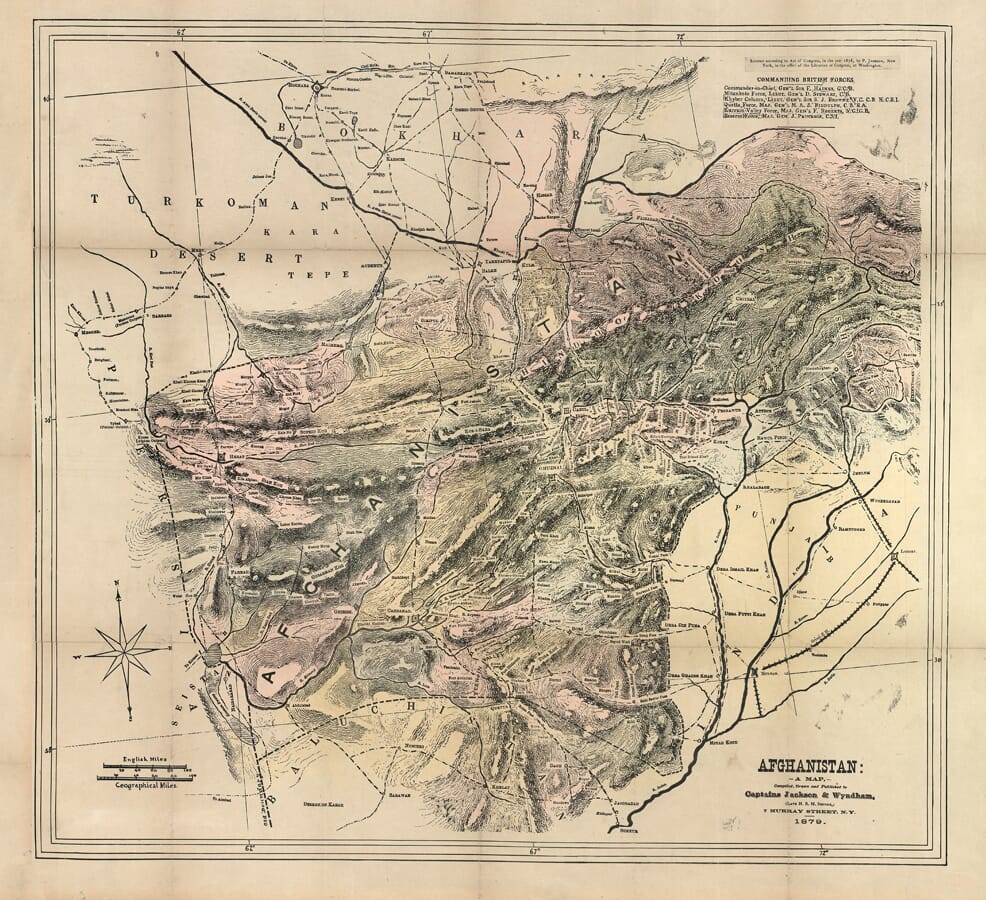
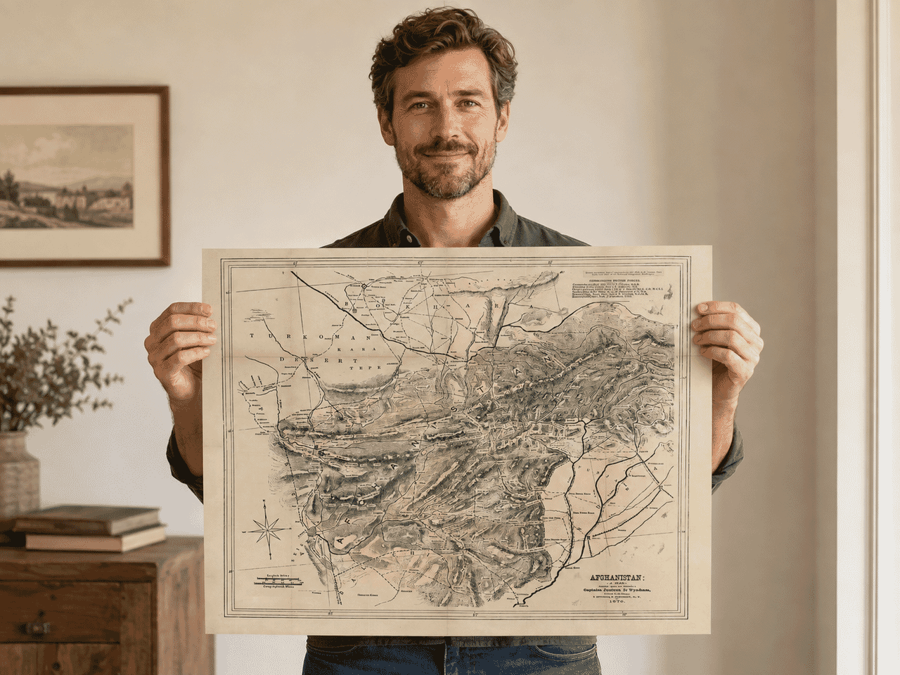
Look closely at the upper-right corner of the map and this contemporary purpose becomes especially apparent. Rather than simply providing geographical information, Jackson and Wyndham included a panel headed “Commanding British Forces”, identifying commanders associated with the military operations. It turns what might otherwise appear to be a Victorian atlas map into something closer to a contemporary document of the war.
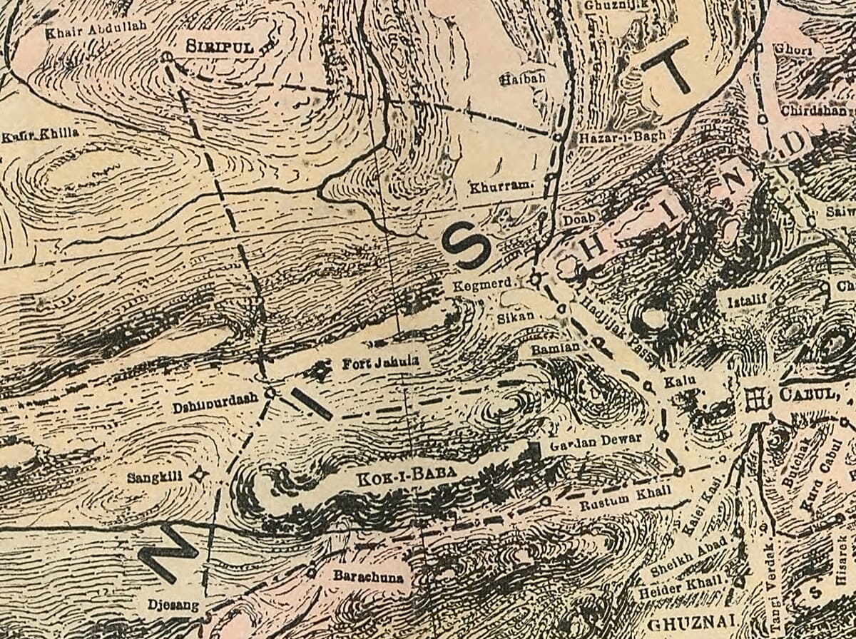
The landscape itself dominates the engraving. Across central and eastern Afghanistan, tightly packed lines represent the country’s great mountain systems, while valleys, rivers, settlements and routes weave between them. The Library of Congress describes the technique as relief shown by form lines. The result is exceptionally effective: even from a distance the mountainous character of Afghanistan is immediately apparent, while closer examination reveals an extraordinary density of geographical information.
Among the great names on the sheet are Herat in the west, Kandahar in the south and Kabul in the east, cities which for centuries had occupied strategic positions on the routes connecting Persia, Central Asia and the Indian subcontinent. Beyond Afghanistan, the map includes Bokhara and the Turkoman country to the north, Persia and Seistan to the west, Baluchistan below and the Punjab towards the Indus in the east. It therefore shows Afghanistan not as an isolated territory but as the geographical crossroads that made it so important to nineteenth-century imperial strategy.
The map is equally interesting for what it tells us about Afghanistan’s borders. Anyone comparing the 1879 sheet with a modern political map will notice important differences. The familiar eastern frontier between Afghanistan and what is now Pakistan did not yet exist in its later form: the Durand Line was not established until 1893. Afghanistan’s northern and western boundaries were also still being negotiated and altered during the closing decades of the nineteenth century. Later maps had continually to accommodate these changing frontiers.
That makes the Jackson and Wyndham map particularly interesting historically. It captures Afghanistan during a period when cartography, diplomacy and military strategy were closely intertwined. A road or mountain pass was not merely a geographical feature. To nineteenth-century governments it could represent a possible invasion route, a supply line or a means of reaching one of the country’s strategically important cities.
Afghanistan’s terrain made such mapping extraordinarily difficult. Much of the detailed geographical knowledge available to European mapmakers was assembled from military surveys, diplomatic journeys, explorers’ observations and earlier regional mapping. A separate American military map published in 1878, for example, explicitly stated that it had been compiled from British and Russian surveys made up to 1875, demonstrating how heavily contemporary cartography of Afghanistan relied on information gathered by the two rival powers.
The visual effect of Jackson and Wyndham’s map is nevertheless very different from a modern military chart. Its elaborate engraved mountains, compass rose, traditional typography and enormous number of tiny place names give it the unmistakable character of nineteenth-century cartography. Areas of comparatively empty desert contrast dramatically with the densely worked mountain ranges, while strong roads and routes lead the eye towards Kabul, Kandahar and the approaches from British India.
Our reproduction retains these original details while introducing soft, subdued colour in the manner of period map colouring. The pink, muted green, ochre and earth-toned washes are an enhancement to the reproduction rather than colours claimed to be present on the original Library of Congress example. They have deliberately been kept restrained so that Jackson and Wyndham’s engraving remains the principal feature.
Today the map can be enjoyed on several levels: as a detailed geographical portrait of nineteenth-century Afghanistan, as a record of the extraordinary landscape separating Central Asia from the Indian subcontinent, and as a document created during one of the defining episodes in Afghanistan’s nineteenth-century history.
More than 145 years after its publication, it still rewards close examination. Tiny settlements, forgotten routes and mountain passes emerge with every viewing, while names such as Kabul, Kandahar and Herat connect the landscape of 1879 with places that remain familiar today. Jackson and Wyndham’s Afghanistan: A Map is therefore not simply an attractive old map; it is a fascinating snapshot of Afghanistan at a moment when geography and international politics had become inseparable.





 Verified owner