



£35.55 – £59.95Price range: £35.55 through £59.95
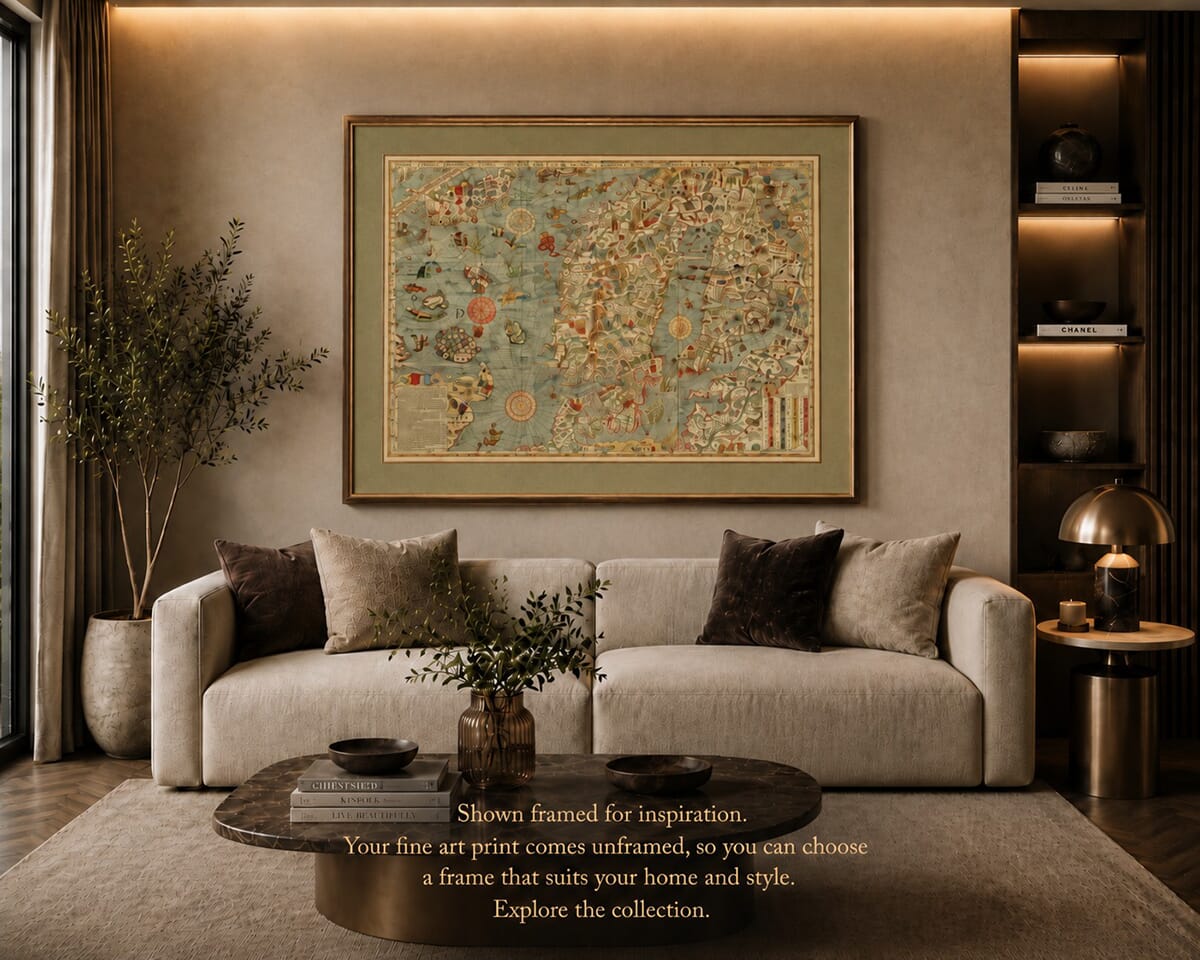
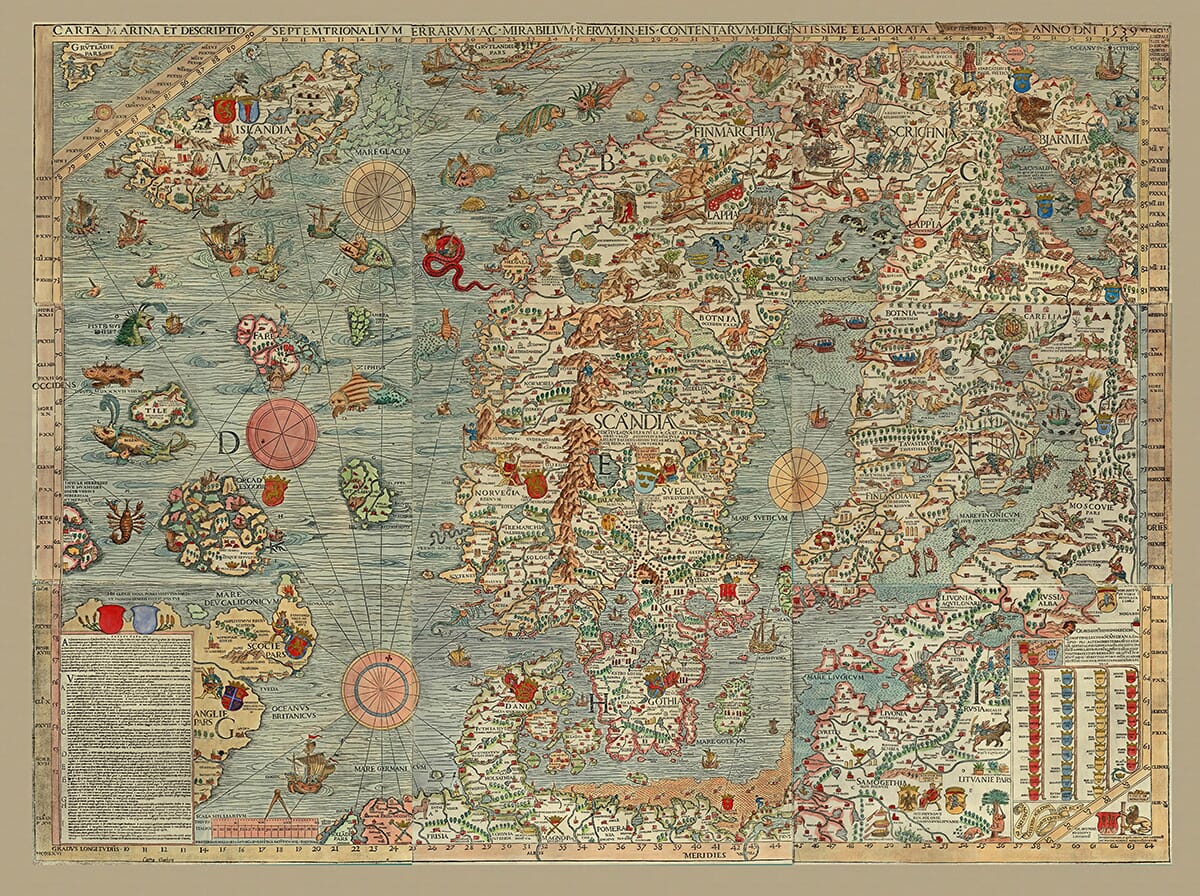
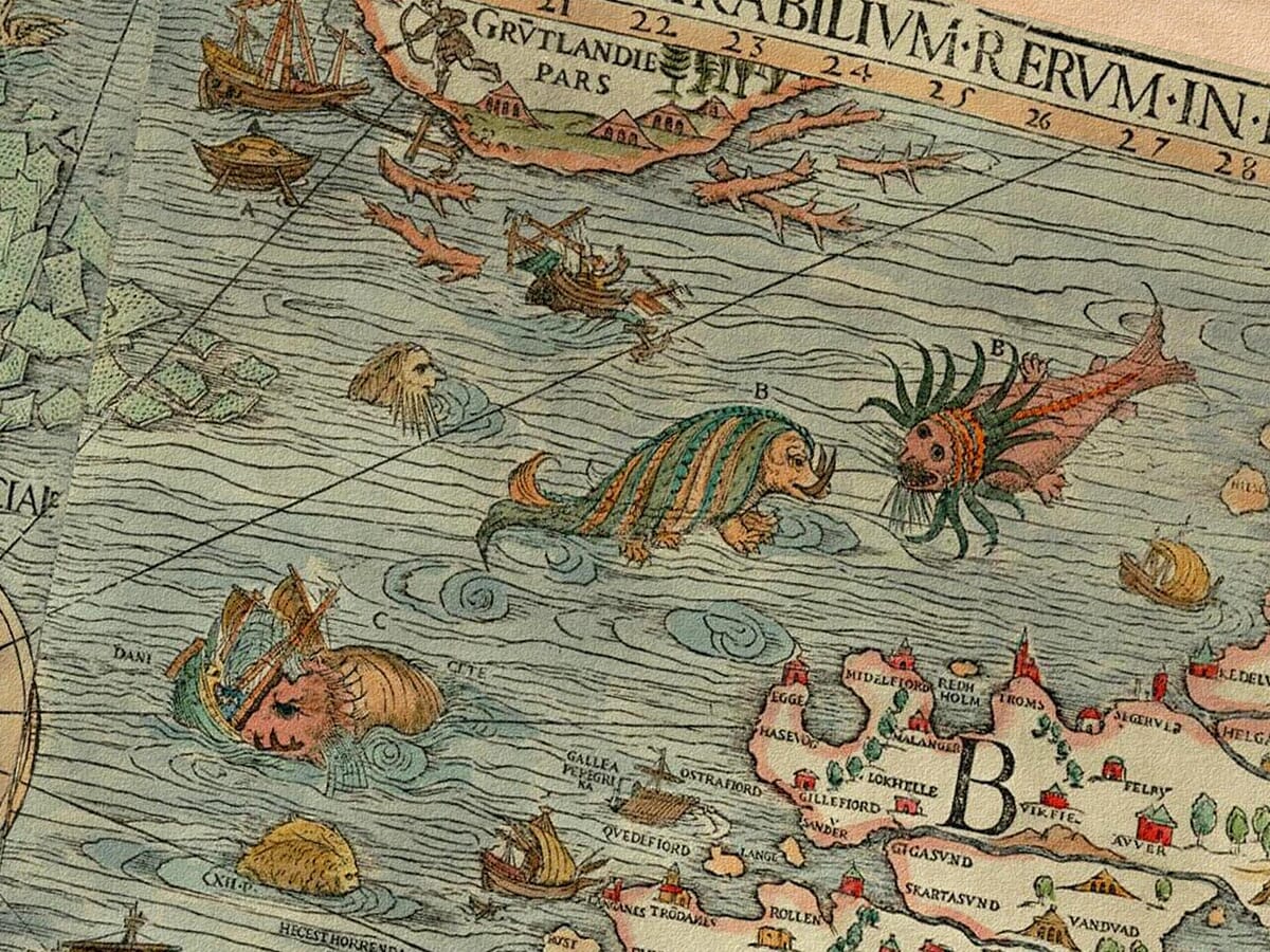
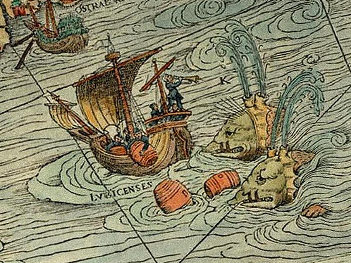
A wonderfully dramatic Sea Monsters Map, based on the famous Carta Marina by Olaus Magnus. First published in the sixteenth century, this extraordinary old map of the Nordic seas is filled with whales, sea serpents, strange creatures, sailing ships, whirlpools and coastal detail.
Part geography, part folklore and part maritime warning, it reflects a time when the northern seas were still mysterious and dangerous to much of Europe. With its ships, monsters and rich historical character, this is a striking fine art print for a study, library, hallway, office or anyone drawn to old maps, maritime history and the myths of the sea.
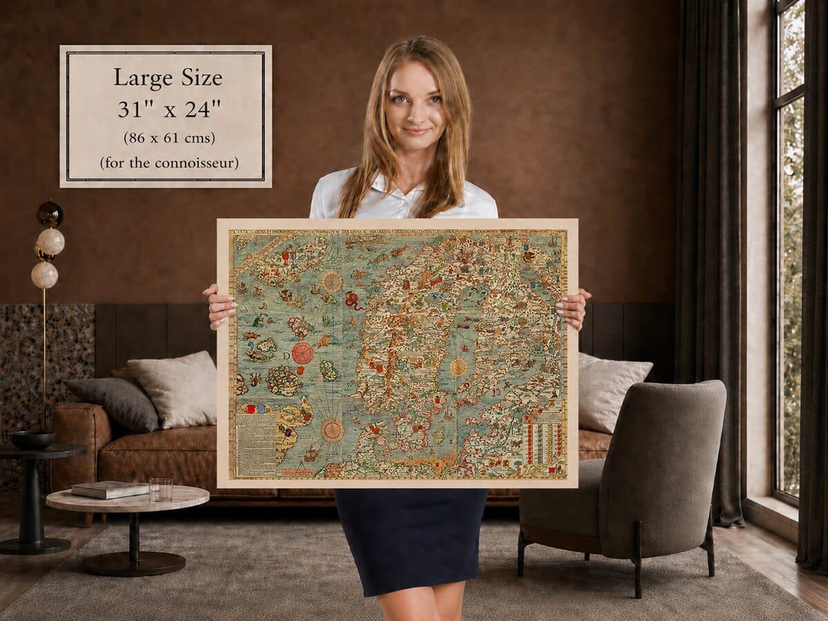
Printed to order in our Cornwall workshop using archival pigment inks on textured fine art paper.A stunning certified FINE ART PRINT on heavy textured art paper — not a poster
Unlike most online offerings, our maps are produced entirely in-house, not outsourced to print-on-demand or drop-shipping services. This allows complete control over quality while offering better value. Each map begins with a high-resolution original, carefully enhanced and printed to order using archival papers and pigment inks for exceptional clarity, depth, and longevity. Every piece is personally overseen — no map leaves our workshop unless it is of a quality we would be proud to display ourselves.
Paper choice is essential to the authenticity of our maps. We use specially sourced 190gsm paper made in the UK from pure materials and traditionally pressed with natural woollen felts. This process creates a subtle, randomly textured surface that closely resembles an original antique document. Likewise the use of premium quality ink fully saturates the paper, producing remarkable clarity, depth, and historical character. Colour fastness and sharpness will remain good for in excess of 100 years!
The Old Map Company of Great Britain offers a vast and carefully curated collection of the very finest expertly reproduced vintage maps. Our range includes works by renowned cartographers such as John Speed and Willem Blaeu, covering Scotland, England, and beyond. Free UK courier delivery is included, with EU, USA, and worldwide shipping available at cost and calculated at checkout. If you need assistance, our team is always happy to help you choose the perfect map.
Got there in time and loves it! Cheers David [Gift from US to UK]
Thanks Lauren. We received it today - it's gorgeous! Thank you, Ellan
Thank you for your prompt service. I have a gallery and framing business in South Wales. I'm so pleased it is printed in the UK
My Isles of Scilly map arrived safely and I'm delighted with it!
The print arrived safely and we're delighted with it - a lovely reminder of our honeymoon 15 years ago.
I have just received them! I'm sure our clients will be pleased with them and there could be more projects off the back of this one where we can use more. [Interior Designers]
I just received my map of Ireland by Ewart today and, as usual, I am delighted by its quality. The crispness and fineness of detail is excellent and the colour reproduction surpasses my expectations. Please relay my thanks to Steve for another fine effort!
Many thanks, Lauren. Very pleased with the map and the service: would recommend The Old Map Company to anyone interested in Old Maps.
Many thanks, the map arrived safely this morning, and I’m really pleased with it. A stunning reproduction, just as I had hoped. I will keep browsing your website, and may yet be tempted by more of your items! Have a great weekend.
Just arrived, wonderful map! Thanks very much!
The map – beautiful – arrived safely, very many thanks.
Thank you, I have already found the map. It’s wonderfull! Good luck! Rasa
My apologies for the very late reply. I wanted to reach out to thank you so much for rushing my order. My partner absolutely loved it. I am amazed with the service so that is a five-star from me. I wish you all the best.
The Carta Marina is one of those old maps that people tend to stop and look at. At first glance it is a map of Scandinavia and the northern seas; after a few moments it becomes something much more curious — a crowded world of ships, sea monsters, whirlpools, animals, castles, coats of arms, fishing scenes and strange northern customs.
The map was created by Olaus Magnus, a Swedish scholar and churchman, and first published in Venice in 1539. Its full title, Carta Marina et Descriptio Septentrionalium Terrarum, describes it as a marine map and description of the northern lands. That is a good summary, although it hardly captures the character of the piece. Olaus Magnus was trying to give southern Europe a fuller picture of Scandinavia, Iceland, the Baltic and the northern waters, which were often poorly understood on earlier maps.
The sea monsters are, of course, the great attraction. Whales, serpents, giant fish and other creatures fill the waters around Iceland, Norway and the Atlantic islands. Some are clearly fantastic, while others seem to be exaggerated versions of real marine life reported by sailors. To a sixteenth-century viewer, these were not simply amusing decorations. The northern seas were dangerous places, associated with cold, storms, ice, difficult navigation and stories brought back by mariners.
Look closely and the land is just as busy as the water. The map includes scenes of hunting, skiing, sledges, animals, forests, mountains, settlements and royal arms. Iceland is shown with volcanic activity and unusual creatures around its coasts. The Baltic is full of ships, and the surrounding seas are marked with compass roses and navigation lines. It is a map that mixes geography with story-telling, and that is a large part of its enduring appeal.
Olaus Magnus later expanded many of these ideas in his great work Historia de Gentibus Septentrionalibus, published in Rome in 1555. The map and the book together helped shape European ideas about the north for generations. They presented Scandinavia not as an empty or distant region, but as a place of trade, danger, natural wonders and distinctive customs.
The original Carta Marina was a large and ambitious production, printed from multiple woodblocks. Surviving early examples are rare, which adds to its fascination among map historians and collectors. Its imagery, especially the sea monsters, continued to influence later printed maps and illustrations of the northern world.
As a wall print, this is not a quiet background map. It has movement, humour, drama and a strong sense of adventure. It works particularly well in a study, library, hallway, coastal home or office — anywhere the detail can be seen and enjoyed rather than lost at a distance.
Reproduced as a fine art print, the Sea Monsters Map remains one of the most characterful pieces in our collection. It is full of history, folklore and nautical imagination, with the sort of detail that rewards a second and third look.



