Joan Blaeu’s Map of the North Riding of Yorkshire
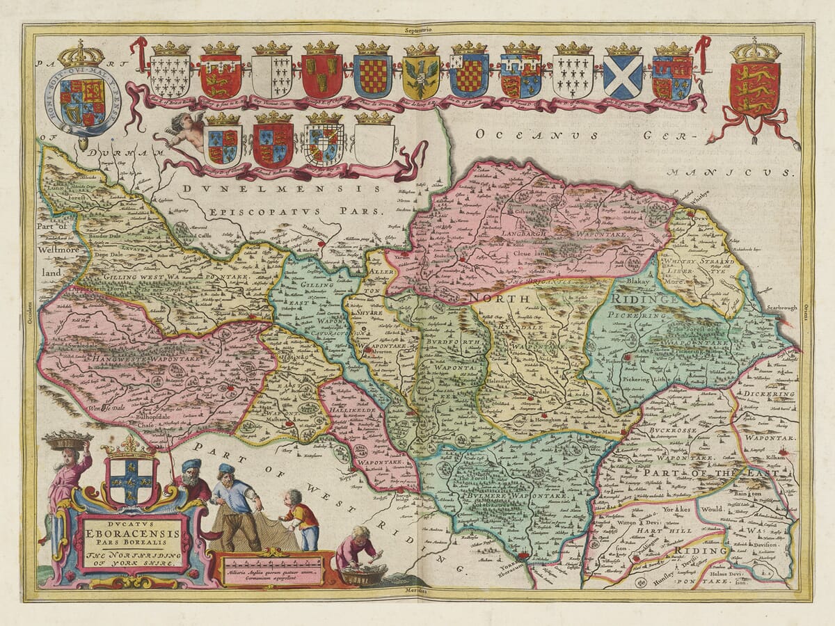
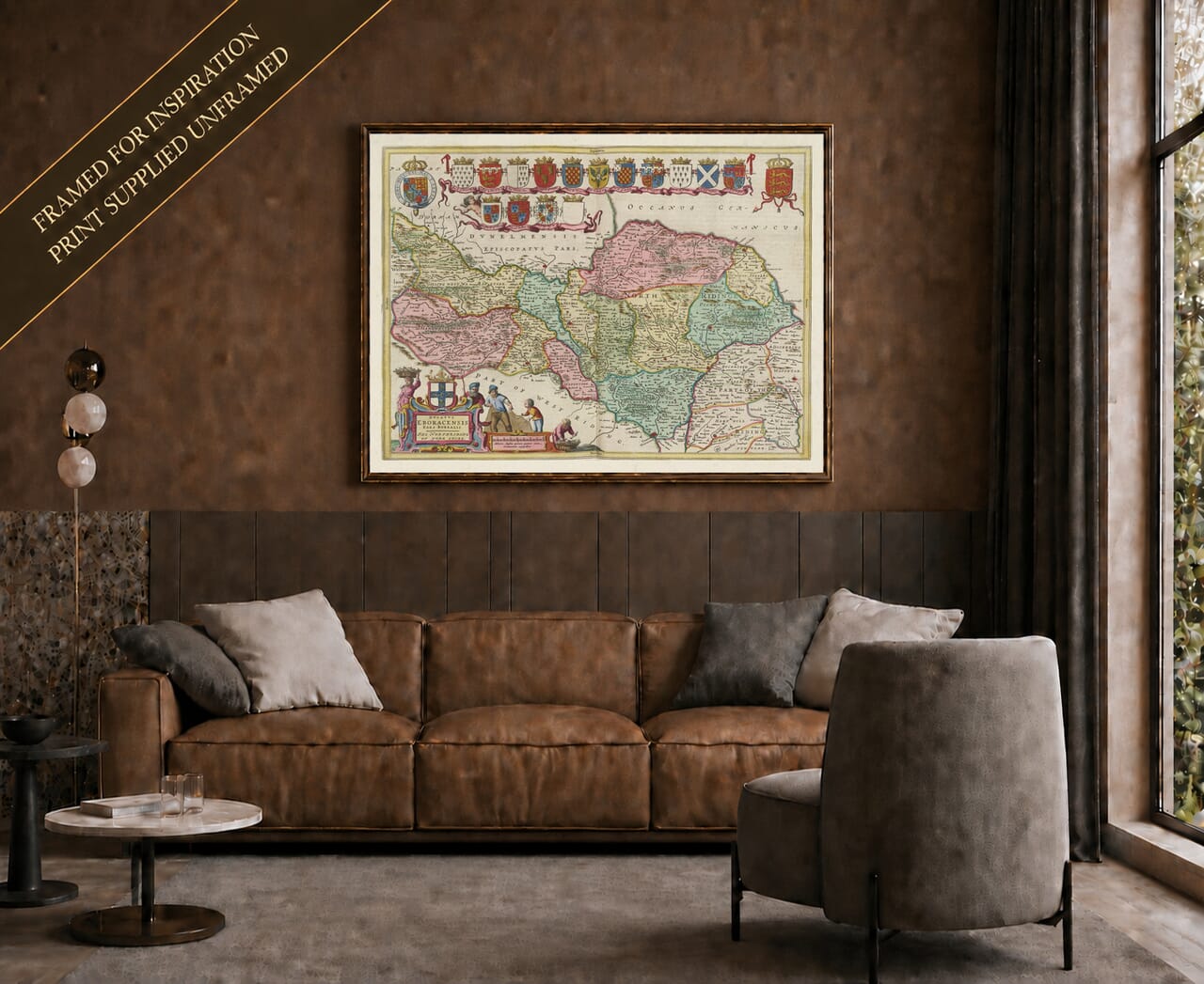
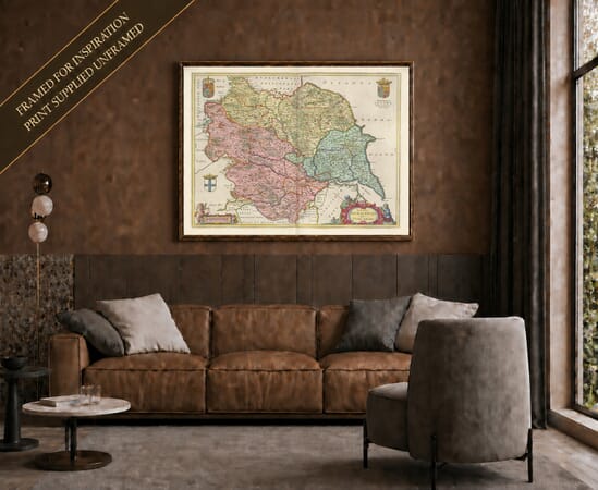
Joan Blaeu’s map of the historic North Riding was first published in Amsterdam in 1645. Its engraved title, Ducatus Eboracensis Pars Borealis; The Northriding of Yorke Shire, identifies the region as the northern division of Yorkshire.
Map Details
- Original title: Ducatus Eboracensis Pars Borealis — The Northriding of York Shire
- Mapmaker and publisher: Joan Blaeu
- First published: Amsterdam, 1645
- Source atlas: Theatrum Orbis Terrarum, sive Atlas Novus, volume devoted to England and Wales
- Area shown: The historic North Riding of Yorkshire and adjoining districts
- Orientation: North at the top
- Format: Engraved county map with colour applied separately to the original impression
- Visible features: Coloured wapentake boundaries, Whitby and Scarborough on the coast, the River Tees, heraldic shields and figures around the title cartouche
It appeared in the fourth volume of Blaeu’s Theatrum Orbis Terrarum, sive Atlas Novus, devoted to England and Wales. Blaeu produced a general map of Yorkshire together with separate plates for its North, East and West Ridings. These individual maps provided sufficient space to record the many settlements, rivers and landscape features of England’s largest historic county.
Joan Blaeu and the English County Atlas
Joan Blaeu took over the family publishing house following the death of his father, Willem Blaeu, in 1638. This North Riding map belongs to Joan’s period of leadership and was published under his direction.
The map was not based upon a new survey undertaken by Blaeu. Its geographical information derived largely from earlier English county mapping, particularly the work of John Speed and the surveying tradition established by Christopher Saxton. Blaeu’s Amsterdam workshop refined this inherited geography and surrounded it with elaborate cartouches and heraldry.
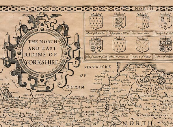
The different approaches can be compared with our old map of Yorkshire’s North and East Ridings by John Speed. Speed placed both Ridings on a single plate, while Blaeu devoted a separate and more detailed map to each one.
The Historic North Riding
Yorkshire’s three Ridings had roots in the county’s Scandinavian past. The word “Riding” developed from an Old Norse term meaning a third part. The historic North Riding extended from the River Tees in the north to the River Derwent and the approaches to York in the south.
Its western districts included the upland valleys of Swaledale and Wensleydale, while the Vale of Mowbray provided a broad area of lower ground between the Pennines and the North York Moors. To the east, the land reached the coast around Whitby, Scarborough and Filey.
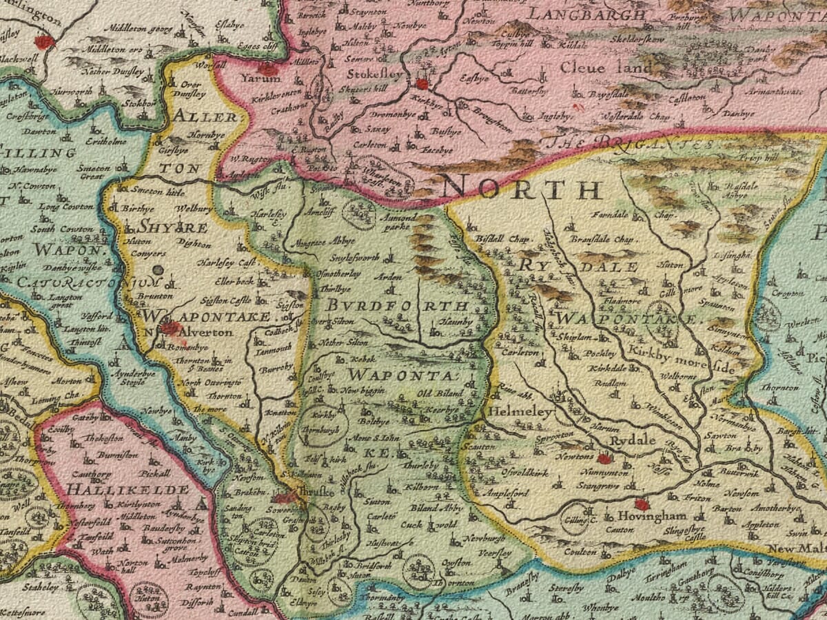
Blaeu represents the uplands through rows of pictorial hills rather than measured contours. Woodland and parks appear as groups of trees, while towns and villages are distinguished by conventional building and church symbols. Roads are not systematically shown, and distances should not be judged according to modern mapping standards.
Rivers provide much of the structure. The Swale and Ure flow eastwards from the dales before meeting and continuing towards the Ouse. The Tees marks much of the northern limit, while the Esk crosses the moorland before reaching the sea at Whitby. Other waterways connect the Vale of Pickering and the eastern settlements with the coast.
Towns, Dales and Coastal Communities
Richmond was an important market town and administrative centre, dominated by its medieval castle above the River Swale. Northallerton occupied a strategic position on the principal north–south route, while Thirsk served the surrounding agricultural district.
Farther east, Pickering stood beside the Vale of Pickering and at the southern edge of the moors. Scarborough was already an established port, market town and coastal stronghold, protected by its imposing castle. Whitby combined maritime activity with fishing and trade.
The North Riding was predominantly rural, but its economy was varied. Farming and livestock supported market communities across the valleys and lower country. Lead mining had a long history in the Pennine dales, while coastal industries included fishing, shipping and the production of alum from the cliffs near Whitby.
Jet found around Whitby had been worked since ancient times, although the large-scale jewellery industry associated with the town developed much later. Blaeu’s historic county map therefore records many places before industrialisation dramatically expanded their populations and economic importance.
The North Riding in 1645
The publication date places the map during the final stages of the First Civil War. Yorkshire had experienced extensive fighting, culminating in the Parliamentarian victory at Marston Moor near York in July 1644.
Scarborough Castle remained an important Royalist stronghold and was besieged by Parliamentary forces in 1645. After months of resistance, its garrison surrendered in July—the same year in which Blaeu’s map first appeared.
The engraving was not intended to document military events. It contains no campaign routes or battlefield information, instead presenting an orderly and enduring picture of the region’s settlements, rivers and physical geography.
Fishermen, Heraldry and Decorative Design
The large title cartouche is one of the map’s most distinctive features. Its figures include fishermen, connecting the decorative design with the North Riding’s coastal communities and maritime economy. The cartouche also contains the map’s scale and the traditional arms of Yorkshire.
Across the upper part of the engraving is an impressive heraldic display. Royal and English arms are joined by fifteen family coats of arms, including one blank shield, associating the landscape with noble titles and traditions of landownership.
The original map was printed in black ink from an engraved copperplate. Colour was applied separately to selected examples, and surviving maps may carry Latin, French, Dutch, German or Spanish text on the reverse according to their atlas edition.
Blaeu’s map remains both a fascinating old map of North Yorkshire and an outstanding example of seventeenth-century decorative cartography. Familiar towns and valleys can still be identified, but they appear within a landscape created long before modern transport, tourism and urban growth reshaped the region.





 Verified owner