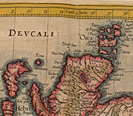
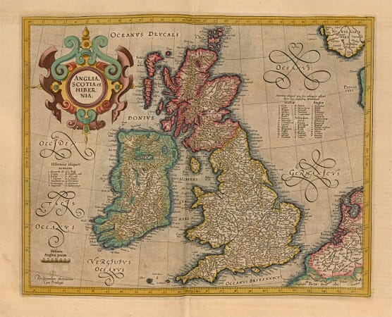
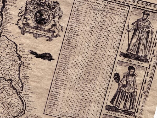
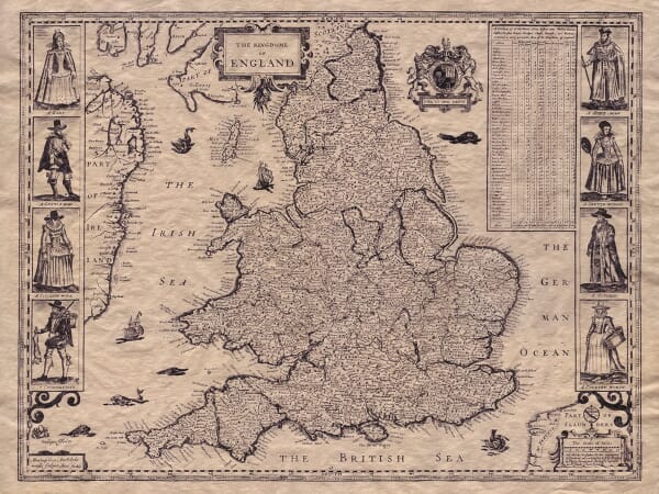
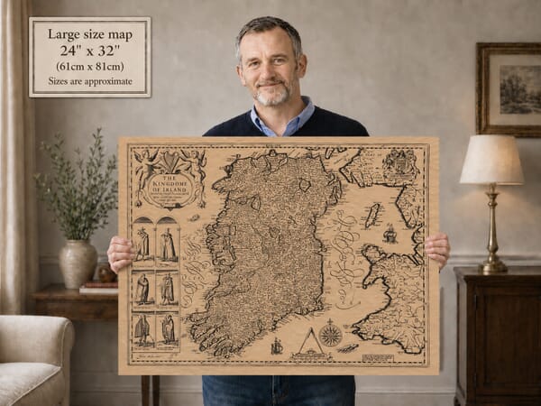
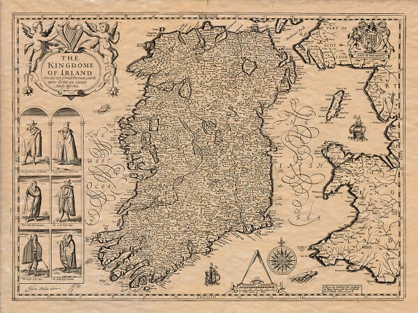
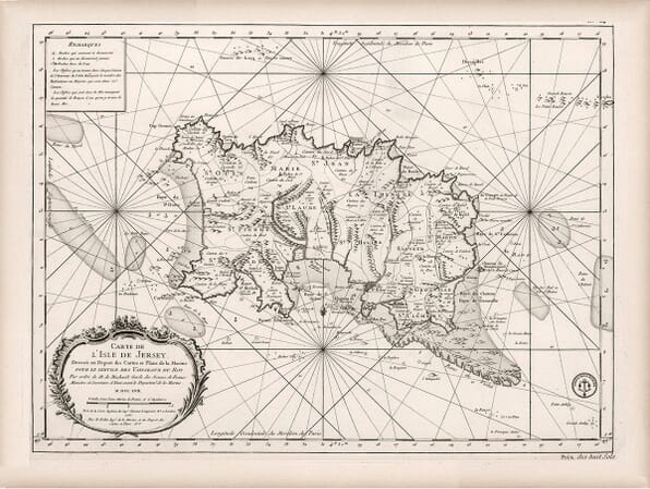
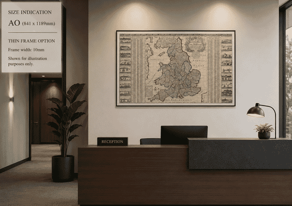
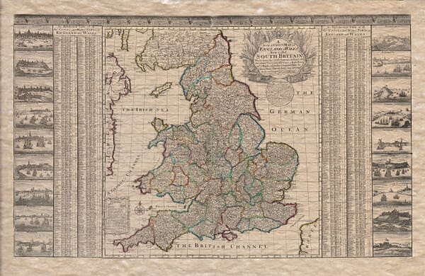
This collection traces the mapping of Great Britain and the British Isles across several centuries. It includes early maps of the island as a whole, national maps of England, Scotland and Wales, and works extending to Ireland and the surrounding islands.
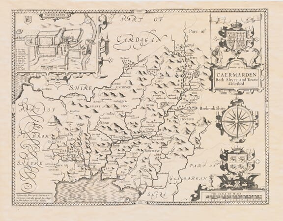
The maps record changing kingdoms, county boundaries, coastlines, roads and settlements. Cartographers represented in the collection include Gerard Mercator, John Speed, Joan Blaeu and later surveyors whose work reflects the developing methods and purposes of British cartography.
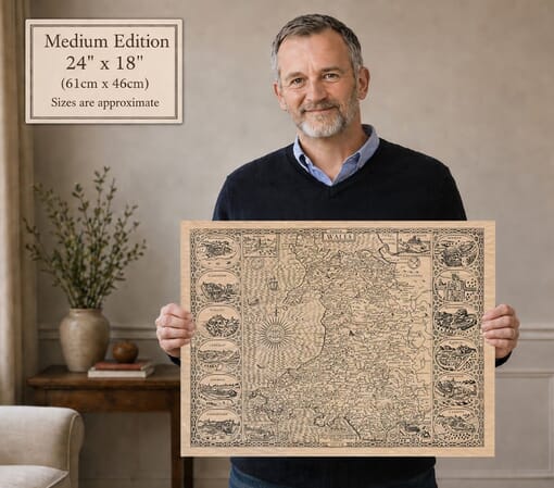
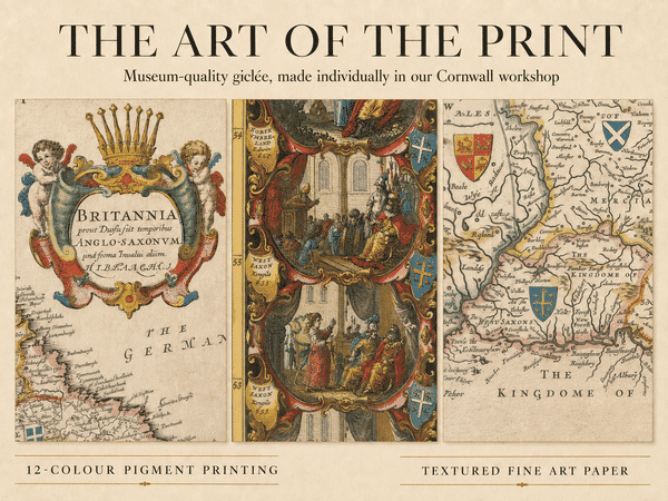
Each map is reproduced from a historic original and printed individually in our Cornwall workshop using archival pigment inks on textured fine art paper.
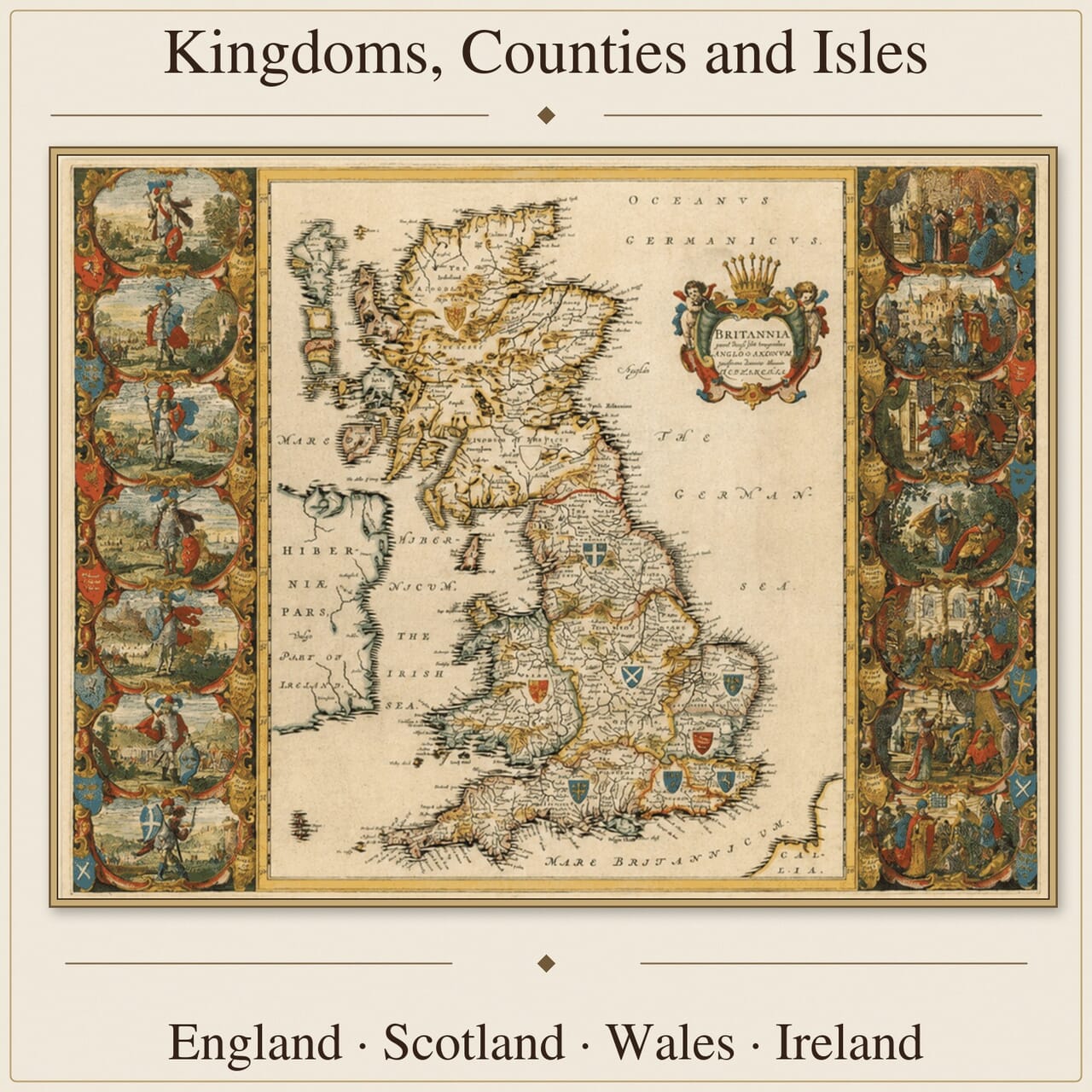
Britain Drawn and Redrawn – Before Modern Borders
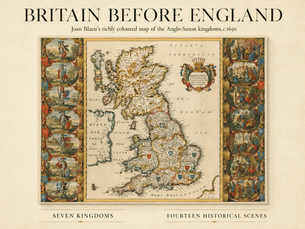
Some maps in this collection look beyond modern national boundaries to Roman provinces, Anglo-Saxon kingdoms and the territories from which England, Scotland and Wales gradually emerged. Joan Blaeu’s coloured map of Anglo-Saxon Britain combines early geography with heraldic shields and a remarkable series of historical scenes, presenting the island through the scholarship and imagination of a seventeenth-century mapmaker.
From Historical Geography to Surveyed Britain
Maps of Great Britain reflect the period in which they were produced. Early examples emphasise kingdoms, historic peoples and uncertain boundaries, while later surveys record counties, roads, towns and increasingly precise coastlines. Together they show how knowledge of Britain developed and how successive cartographers chose to represent it.
Counties, Coastlines and Outlying Islands
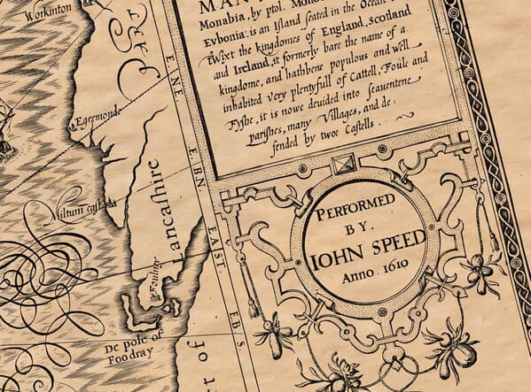
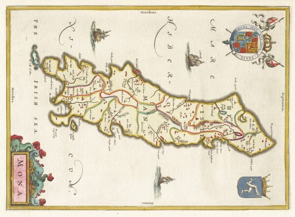
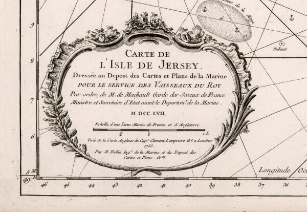
Historic maps preserve former county boundaries, old roads, coastal settlements and earlier forms of familiar place names. The Hebrides, Orkney, Isles of Scilly, Isle of Man, Isle of Wight and Channel Islands often receive particular attention, reflecting their geographical and strategic importance to earlier mapmakers.
Choosing a Map of Britain
The appeal may lie in national history, genealogy or the development of British cartography. For others, it is a county associated with family, an island frequently visited or a familiar stretch of coastline that gives a particular map its meaning. Detailed engraving and decorative design allow these maps to reward close inspection while retaining a strong presence as fine art prints.