Britain Before England
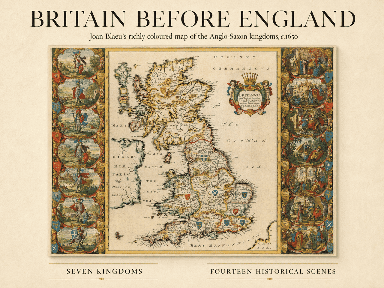
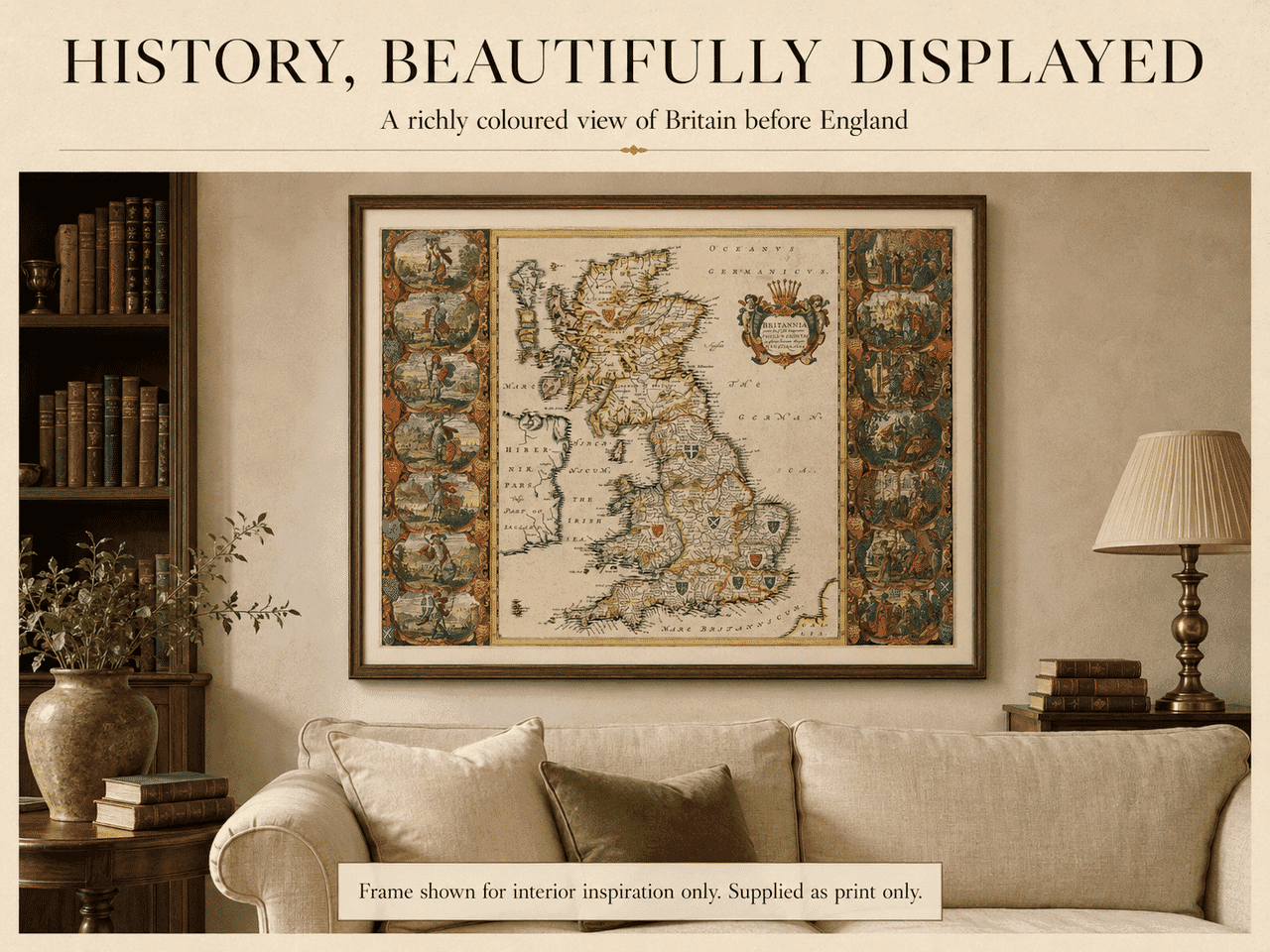
Joan Blaeu’s magnificent map looks back beyond the familiar outline of England to a period when Britain was divided among numerous competing peoples and kingdoms.
Its Latin title, Britannia prout divisa fuit temporibus Anglo-Saxonum, praesertim durante illorum Heptarchia, can broadly be translated as “Britain as it was divided in the time of the Anglo-Saxons, particularly during their Heptarchy.”
The Anglo-Saxon period conventionally extends from the end of Roman government in Britain during the early fifth century to the Norman Conquest of 1066. During those centuries, England did not yet exist as a single, permanently united country. Power was divided between kingdoms whose boundaries and influence continually changed through warfare, marriage, succession and alliance.
Blaeu’s map depicts the traditional seven kingdoms of the Anglo-Saxon Heptarchy: Northumbria, Mercia, East Anglia, Essex, Kent, Sussex and Wessex. The Heptarchy is a convenient later description rather than a precise picture of seven equally powerful kingdoms existing at exactly the same moment. Nevertheless, it became an influential way of explaining the political geography of early England.
The map also reaches far beyond those seven kingdoms. Scotland is divided between the Scots and the Picts, while Wales retains its own territories and place names. Part of Ireland appears along the western edge. Rivers, settlements, islands and mountain ranges fill the land, although these details reflect seventeenth-century historical understanding rather than modern archaeological reconstruction.
Kings, Kingdoms and Conversion
What makes this map especially remarkable is its great decorative border.
Down the left-hand side stand seven martial figures representing the traditional founders or early rulers of the Saxon kingdoms. They appear in armour and elaborate costume, each accompanied by a shield, a landscape and the name of his kingdom.
The scenes on the right tell a different story. They illustrate the conversion of the seven kingdoms to Christianity following the arrival of St Augustine’s mission in Kent in AD 597. Kings listen to missionaries, receive instruction or witness moments connected with the establishment of the early English Church.
Together, the two borders present a carefully constructed historical narrative. The armed kings represent conquest, settlement and political power; the corresponding scenes of conversion show the kingdoms gradually entering Christian Europe.
At the centre of the map, a splendid crowned cartouche supported by cherubs carries the Latin title. Heraldic shields placed across Britain add further colour and visual interest. These ornate details help explain why the map has long been regarded as one of the most decorative printed maps of the British Isles.
Joan Blaeu and the Golden Age of Mapmaking
Joan Blaeu was born in 1596 into one of the greatest mapmaking families of seventeenth-century Amsterdam. His father, Willem Janszoon Blaeu, established an internationally respected business producing maps, globes, charts and atlases.
After Willem’s death in 1638, Joan and his brother Cornelis continued the family enterprise. Under Joan’s direction, the Blaeu publishing house reached the height of its reputation, eventually producing the celebrated Atlas Maior—one of the most ambitious and lavishly illustrated atlases ever published.
This map was based upon John Speed’s earlier map of the Saxon kingdoms, first published in 1611. Blaeu retained its historical subject and distinctive arrangement of rulers and conversion scenes but recreated them in the refined engraving style for which the Amsterdam workshop became famous.
The map first appeared in Blaeu’s atlas of England and Wales in 1645 and was subsequently included in later editions, including the monumental Atlas Maior. Surviving original examples are now highly prized by collectors.
The Art of the Print
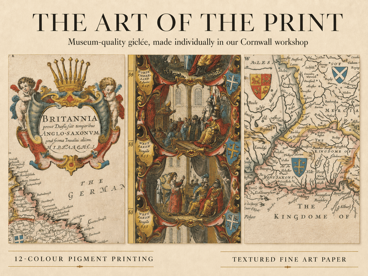
The enlarged details reveal qualities that can easily be missed when viewing the complete map on a screen: delicately engraved lines, tiny place names, individual figures, heraldic devices and the subtle variation of colour across the historic territories.
Our reproduction is made individually in Cornwall using twelve-colour pigment printing on 190gsm textured fine art paper. The gently textured surface complements the appearance of the original engraving, while archival pigment inks reproduce its warm paper tones, strong linework and rich period colour.
This is a carefully produced fine-art reproduction rather than a mass-produced poster.
History, Beautifully Displayed
With its balanced composition, warm colouring and extraordinary illustrated borders, Blaeu’s map works particularly well as wall art. It can bring history and character to a traditional study or library while also making an impressive feature in a more contemporary room.
The framed setting shown in our photograph is provided for interior inspiration. The map is supplied as a print only, allowing you to select a frame and mount that best suit your own room.





 Verified owner