Old Maps of the Americas
Explore old maps of North America, South America and the Caribbean, reproduced from historic atlases, sea charts and early geographical surveys.
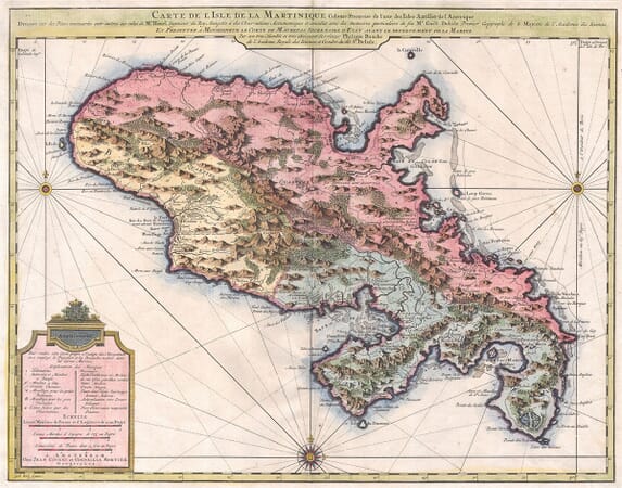
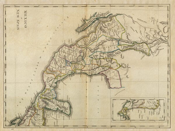
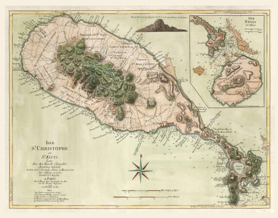
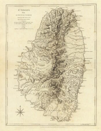
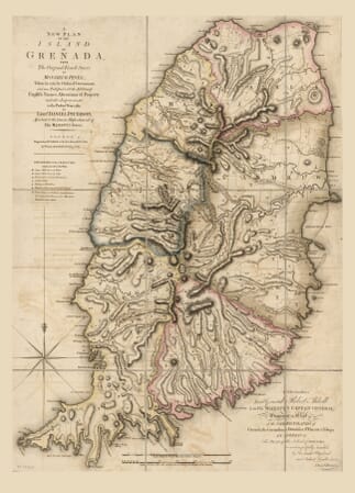
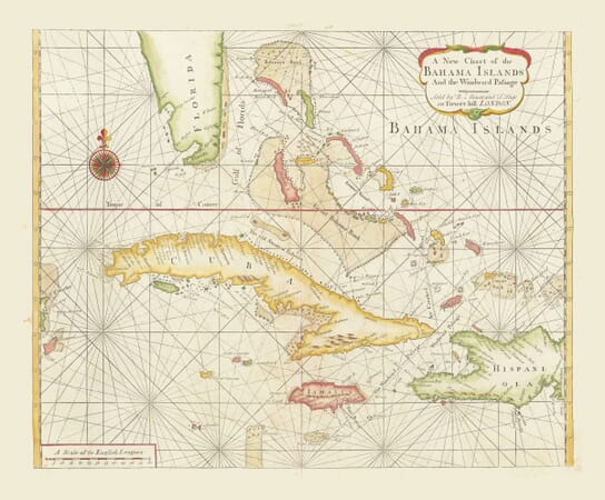
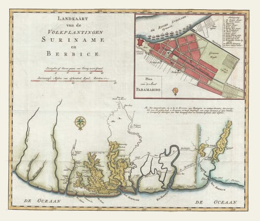
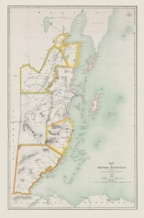
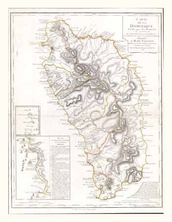
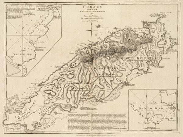
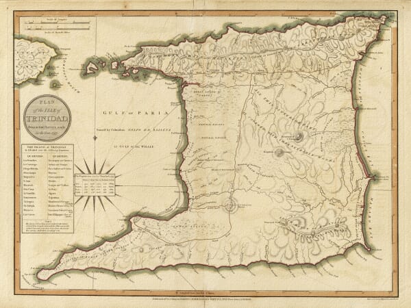
This collection brings together old maps of North America, South America and the Caribbean, reproduced from historic atlases, sea charts and geographical surveys. The maps range from continental views of the Americas to more detailed representations of Canada, California, Mexico, Brazil, Cuba, Jamaica, Cape Horn and the Strait of Magellan. They record changing coastlines, place names, territorial claims, maritime routes and the developing European understanding of the continents.
Cartographers represented in the collection include John Speed, Joan Blaeu and Johann Baptist Homann, whose maps reflect different periods, sources and conventions of geographical publishing.