Thomas Jefferys map of Tobago with Courland Bays and Man of War Bay inset plans, 1775
Thomas Jefferys map of Tobago with Courland Bays and Man of War Bay inset plans, 1775 Old Tobago sign Detail from an old map of Tobago Detail from an old map of Tobago

Old Map of Tobago

Price range: £35.55 through £59.95

Old Map of Tobago by Thomas Jefferys, 1775

A detailed antique map of Tobago, showing the island’s ridged interior, rivers and coastal bays, with separate plans of Great and Little Courland Bays and Man of War Bay. Named divisions and estate figures add a distinctive record of the island’s eighteenth-century geography.

The engraved coastline, harbour soundings and explanatory notes invite a closer look. Reproduced as a giclée fine art print and supplied unframed.

+ Read more

A stunning certified FINE ART PRINT on heavy textured art paper — not a poster

  • Direct from the publisher — no middlemen
  • Printed in-house in Cornwall
  • Free UK delivery — international shipping available
  • Produced to meet — and often exceed — museum-quality standards

Size

Size

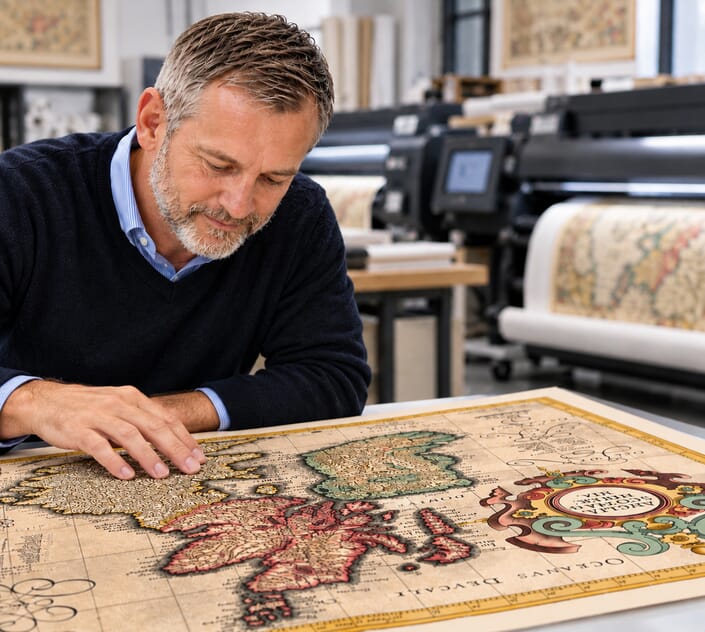
Inspecting Mercator's 1623 old map of Great Britain and Ireland

Fine Art Map Reproductions – Museum-Quality Printing

Unlike most online offerings, our maps are produced entirely in-house, not outsourced to print-on-demand or drop-shipping services. This allows complete control over quality while offering better value. Each map begins with a high-resolution original, carefully enhanced and printed to order using archival papers and pigment inks for exceptional clarity, depth, and longevity. Every piece is personally overseen — no map leaves our workshop unless it is of a quality we would be proud to display ourselves.

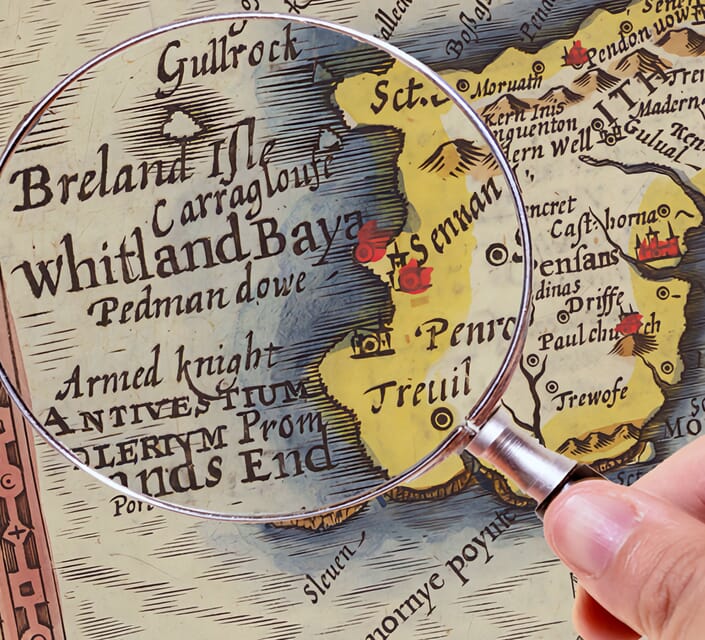
Hand hold a magnifying glass over West Cornwall Map

Authentic Old Map Paper & Accurate Colour Reproduction

Paper choice is essential to the authenticity of our maps. We use specially sourced 190gsm paper made in the UK from pure materials and traditionally pressed with natural woollen felts. This process creates a subtle, randomly textured surface that closely resembles an original antique document. Likewise the use of premium quality ink fully saturates the paper, producing remarkable clarity, depth, and historical character. Colour fastness and sharpness will remain good for in excess of 100 years!

Map in Postal Tube

Buy Old Maps Online in the UK Today Trading online since 1999

The Old Map Company of Great Britain offers a vast and carefully curated collection of the very finest expertly reproduced vintage maps. Our range includes works by renowned cartographers such as John Speed and Willem Blaeu, covering Scotland, England, and beyond. Free UK courier delivery is included, with EU, USA, and worldwide shipping available at cost and calculated at checkout. If you need assistance, our team is always happy to help you choose the perfect map.

RECENT REVIEWS

Daz
DazGB
Verified ownerVerified owner

5/5

Speedy delivery A beautiful representation

3 months ago
David H
David H
Verified ownerVerified owner
5/5

Got there in time and loves it! Cheers David [Gift from US to UK]

5 months ago
Ellan C-S
Ellan C-S
Verified ownerVerified owner
5/5

Thanks Lauren. We received it today - it's gorgeous! Thank you, Ellan

5 months ago
Ivano Di Battista
Ivano Di Battista
Verified ownerVerified owner
5/5

Thank you for your prompt service. I have a gallery and framing business in South Wales. I'm so pleased it is printed in the UK

6 months ago
Robert B
Robert B
Verified ownerVerified owner
5/5

My Isles of Scilly map arrived safely and I'm delighted with it!

6 months ago
Andrew T
Andrew T
Reviewer
5/5

The print arrived safely and we're delighted with it - a lovely reminder of our honeymoon 15 years ago.

6 months ago
Hannah J
Hannah J
Verified ownerVerified owner
5/5

I have just received them! I'm sure our clients will be pleased with them and there could be more projects off the back of this one where we can use more. [Interior Designers]

6 months ago
Sean MacManus
Sean MacManus
Verified ownerVerified owner
5/5

I just received my map of Ireland by Ewart today and, as usual, I am delighted by its quality. The crispness and fineness of detail is excellent and the colour reproduction surpasses my expectations. Please relay my thanks to Steve for another fine effort!

7 months ago
John G
John G
Verified ownerVerified owner
5/5

Many thanks, Lauren. Very pleased with the map and the service: would recommend The Old Map Company to anyone interested in Old Maps.

8 months ago
Lois K
Lois K
Verified ownerVerified owner
5/5

Thrilled , Lauren! Thank You

9 months ago
Ed Simpson
Ed Simpson
Verified ownerVerified owner
5/5

Many thanks, the map arrived safely this morning, and I’m really pleased with it. A stunning reproduction, just as I had hoped. I will keep browsing your website, and may yet be tempted by more of your items! Have a great weekend.

9 months ago
Daniel McCade
Daniel McCade
Verified ownerVerified owner
5/5

Just arrived, wonderful map! Thanks very much!

10 months ago
Jonathon R
Jonathon R
Verified ownerVerified owner
5/5

The map – beautiful – arrived safely, very many thanks.

1 year ago
Rasa Terbetiene
Rasa Terbetiene
Verified ownerVerified owner
5/5

Thank you, I have already found the map. It’s wonderfull! Good luck! Rasa

4 years ago
Mina M.
Mina M.
Verified ownerVerified owner
5/5

My apologies for the very late reply. I wanted to reach out to thank you so much for rushing my order. My partner absolutely loved it. I am amazed with the service so that is a five-star from me. I wish you all the best.

4 years ago

Historical Background

Thomas Jefferys’s map of Tobago combines a detailed picture of the island with practical information for ships approaching its shores. Published in London with an imprint dated 20 February 1775, it places the long ridge of hills, rivers and coastal bays beside named divisions and estate totals. The two harbour plans give particular attention to Courland Bays and Man of War Bay. Together, these elements show an island being recorded for navigation, commerce and colonial administration.

Map Details

  • Original title: Tobago from Actual Surveys and Observations
  • Cartographer: Thomas Jefferys, Geographer to the King
  • Inset survey: Great and Little Courland Bays by David Ross
  • Publisher: Robert Sayer, 53 Fleet Street, London
  • Map imprint: 20 February 1775; the exact atlas issue of the reproduced sheet is not established
  • Area shown: Tobago, with separate plans of Courland Bays and Man of War Bay
  • Original scale: Approximately 1:63,360 on the main map; the insets use larger scales
  • Format: Engraved island map with coastal soundings, relief and explanatory notes
  • Orientation: North towards the top, with the island running diagonally across the sheet

The island’s shape and interior

Tobago stretches from the lower left to the upper right, giving its mountainous interior a prominent place in the composition. Closely worked lines describe the slopes and ridges, while rivers wind down towards the coast. This method of showing relief, known as hachuring, gives the hills a strong visual presence without using the contour lines familiar on a modern survey map.

The contrast between the rugged interior and the indented coastline is one of the print’s most striking features. Small bays, projecting points and offshore rocks receive considerable attention. At the south-western end, the lettering around Sandy Point and Rockly Bay sits among a dense network of coastal details. Farther along the island, Great River and Queens Bay provide reference points for reading the opposite shore. The map rewards close examination rather than relying on large decorative illustrations.

Two detailed harbour plans

The upper-left inset is David Ross’s survey of Great and Little Courland Bays. Its angular border fits around a much larger view of the coast, with depth figures, shoreline features and intersecting directional lines. The separate scale allows information that would be crowded on the main island map to remain readable. It also shows how a bay could be understood as a working anchorage, with the seabed and approaches as important as the land behind it.

Man of War Bay occupies the lower-right inset. Here, the sheltered water is framed by a sharply defined coastline and named points, with soundings extending into the bay. The same place appears on the main map near Tobago’s north-eastern end, allowing the viewer to move between the island as a whole and the detail of an individual harbour. The inset’s compass and scale underline its practical purpose.

Divisions, estates and colonial priorities

Large lettering separates Courland Bay, Barbados Bay, Great River, Queens Bay, Rockly Bay and Sandy Point divisions. Beneath several names are counts of estates and quantities of land. These labels reveal a different layer of information from the physical landscape: Tobago was being described in terms of surveyed territory and its potential use within a colonial economy.

That context requires care. The plantation economy associated with this period depended on the forced labour of enslaved Africans. The map records land and estate divisions, but it cannot convey the lives of the people whose labour sustained them. Reading those administrative labels alongside the island’s history gives them a significance beyond their neat arrangement on the page.

A London publication with a continuing life

The title credits Thomas Jefferys as Geographer to the King, while the lower margin names Robert Sayer’s Fleet Street business. Jefferys died in 1771, before the date printed on this sheet. His name continued to appear on maps issued through the London publishing trade, and this Tobago map was included in editions of the West-India Atlas.

The imprint is therefore a useful identifying detail, although it does not by itself establish the date of every later atlas containing the plate. The reproduced map is described here by its 1775 imprint, without assigning an unsupported atlas edition. Its combination of engraved terrain, harbour surveys and explanatory observations gives this old map of Tobago its particular character as a fine art print.