Joan Blaeu’s Old Map of Southeast Sutherland
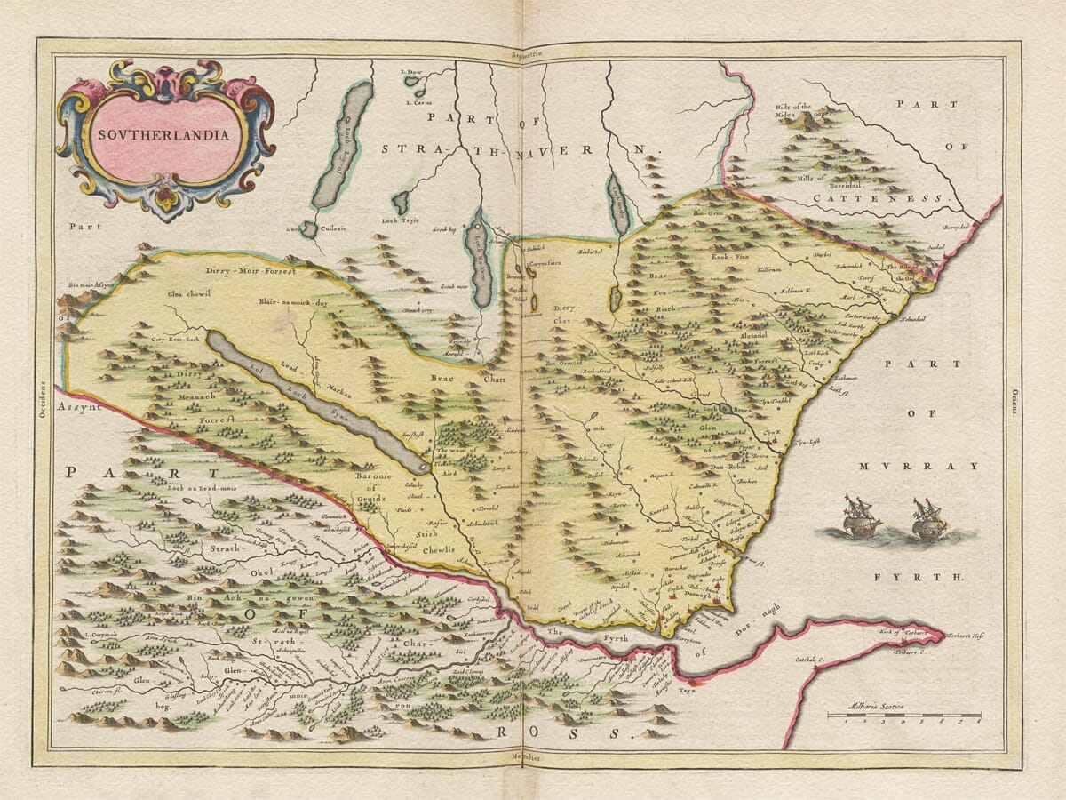
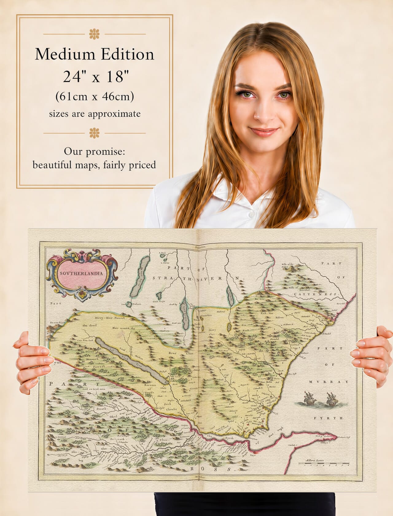
Joan Blaeu’s map of southeast Sutherland was first published in Amsterdam in 1654. Entitled Sovtherlandia, it captures the eastern side of the historic county from its mountainous interior to the Dornoch Firth and North Sea coast.
The map does not attempt to cover the whole of modern Sutherland. Strathnaver occupies the country to the north, while parts of Caithness, Assynt, Ross and Moray appear around its margins. These neighbouring names help place Sutherland within the wider geography of Scotland’s far north.
Map Details
- Original title: Sovtherlandia
- Area shown: Southeast Sutherland and adjoining parts of Strathnaver, Caithness, Assynt, Ross and Moray
- Cartographic basis: Early Scottish manuscript mapping prepared for Blaeu’s atlas
- Publisher: Joan Blaeu
- First published: Amsterdam, 1654
- Source atlas: Theatrum Orbis Terrarum, sive Atlas Novus, commonly known as the Blaeu Atlas of Scotland
- Places and features: Dornoch, Dunrobin, Golspie, Brora, Helmsdale, Lairg, Loch Shin, the Dornoch Firth, rivers, woodland and pictorial mountains
- Decoration: Ornate title cartouche, coloured boundaries, scale and two sailing ships
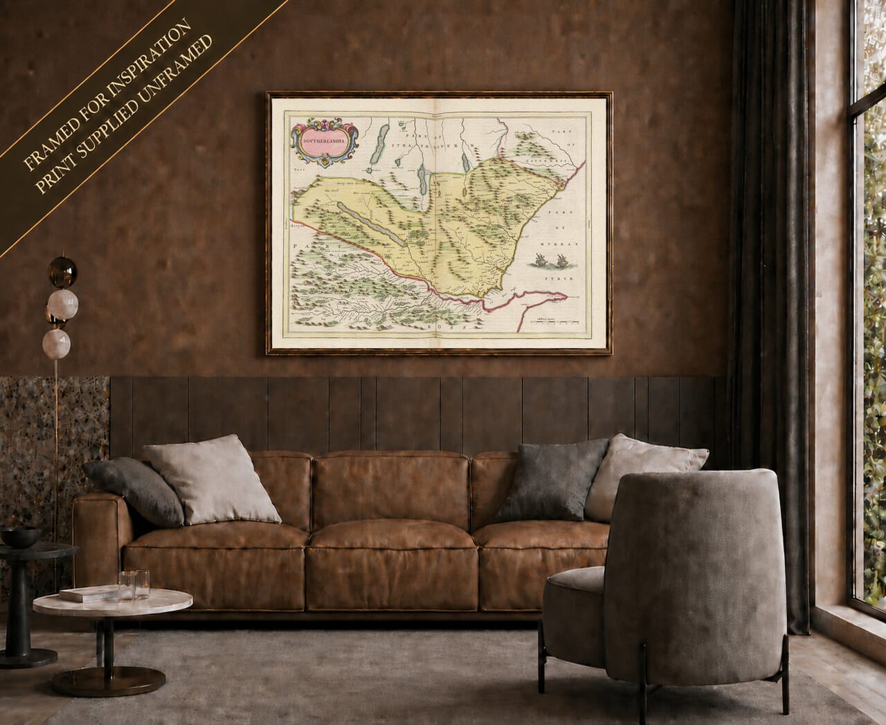
- Product type: Reproduction historic map produced as a fine art print
From Loch Shin to the Eastern Coast
Loch Shin is one of the most striking features of the engraving. Its long, narrow form reaches deep into the interior, with smaller lochs, streams and settlements distributed around the surrounding hills. Near its southern end lies Lairg, a natural meeting place for routes through the county.
Rivers descend from the higher country towards the eastern coast and the Dornoch Firth. Blaeu records them as winding lines connecting inland glens with coastal settlements. Without a modern road network to dominate the landscape, the waterways become the map’s natural framework.
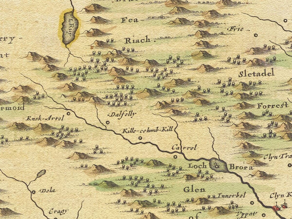
The mountains are drawn pictorially rather than represented through measured contours. Individual shaded peaks gather into broad ranges, giving the interior a rugged and almost theatrical appearance. Woodland is depicted through groups of miniature trees, with especially noticeable concentrations around estates and river valleys.
These details should not be read with the expectations of a modern Ordnance Survey map. Distances and landforms are approximate, and the importance of settlements is communicated through conventional symbols. Nevertheless, the engraving provides an absorbing record of seventeenth-century names and relationships between places.
Dornoch, Dunrobin and the Coastal Settlements
Dornoch appears near the southern edge of the county beside the firth that bears its name. The town had long served as an ecclesiastical and administrative centre, with its medieval cathedral and burgh status distinguishing it from the smaller communities around it.
Farther north, Dunrobin is prominently marked near the coast. The castle was the historic seat of the Earls of Sutherland and already possessed centuries of history when Blaeu’s atlas appeared. The building visible today has been greatly enlarged and remodelled, but its position overlooking the sea remains one of the defining landmarks of eastern Sutherland.
Golspie, Brora and Helmsdale form a sequence of communities along the coast. The sea provided fishing, transport and communication, while the adjacent glens connected the shore with farms, grazing land and settlements farther inland.
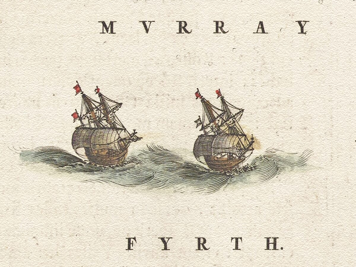
Blaeu placed two sailing ships in the waters east of Sutherland. They are primarily decorative, filling an open part of the composition and balancing the densely engraved land. They also suit a coast whose communities depended upon maritime connections long before dependable overland travel became possible.
A County Before Modern Roads
The Sutherland shown here predates the roads, railways and planned settlements that would transform movement through the Highlands. Travel followed coastlines, river valleys, passes and established tracks whose presence is often suggested by the alignment of places rather than explicitly drawn.
Many familiar names can be recognised, although their spelling varies. Other names belong to estates, small communities and local features that have since changed or disappeared. This wealth of older place names makes the map especially interesting for those exploring Sutherland ancestry or the history of a particular glen.
The engraving also predates the Highland Clearances by more than a century and a half. During the nineteenth century, the removal of inland communities and reorganisation of estates profoundly changed the county’s settlement pattern. Blaeu’s historic map cannot provide a complete record of every township, but it preserves an impression of Sutherland before those later upheavals.
Blaeu’s Vision of Sutherland
The map was engraved and printed in Amsterdam for Joan Blaeu’s great atlas of Scotland. Its geography was transformed into a polished copperplate engraving by a workshop celebrated for elegant lettering, decorative cartouches and carefully balanced composition.
The title Sovtherlandia appears within a richly coloured cartouche in the upper-left corner. Coloured boundary lines distinguish the surrounding regions, while a scale appears beside the Dornoch Firth in the lower-right corner. The ships, mountainous interior and delicate river network ensure that the page rewards inspection well beyond its practical geographical content.
Today this antique map design offers a vivid portrait of eastern Sutherland before modern development altered its towns and transport routes. For anyone connected with Dornoch, Dunrobin, Golspie, Brora, Helmsdale, Lairg or the wider county, it is both a record of place and an evocative piece of Scottish cartographic art.
Explore more
old maps of Scotland or compare this eastern sheet with our
old map of Strathnaver and Strathmore, covering the country farther north.





 Verified owner