Saxton Map Old map of Lincolnshire and Nottinghamshire by Christopher Saxton, 1576
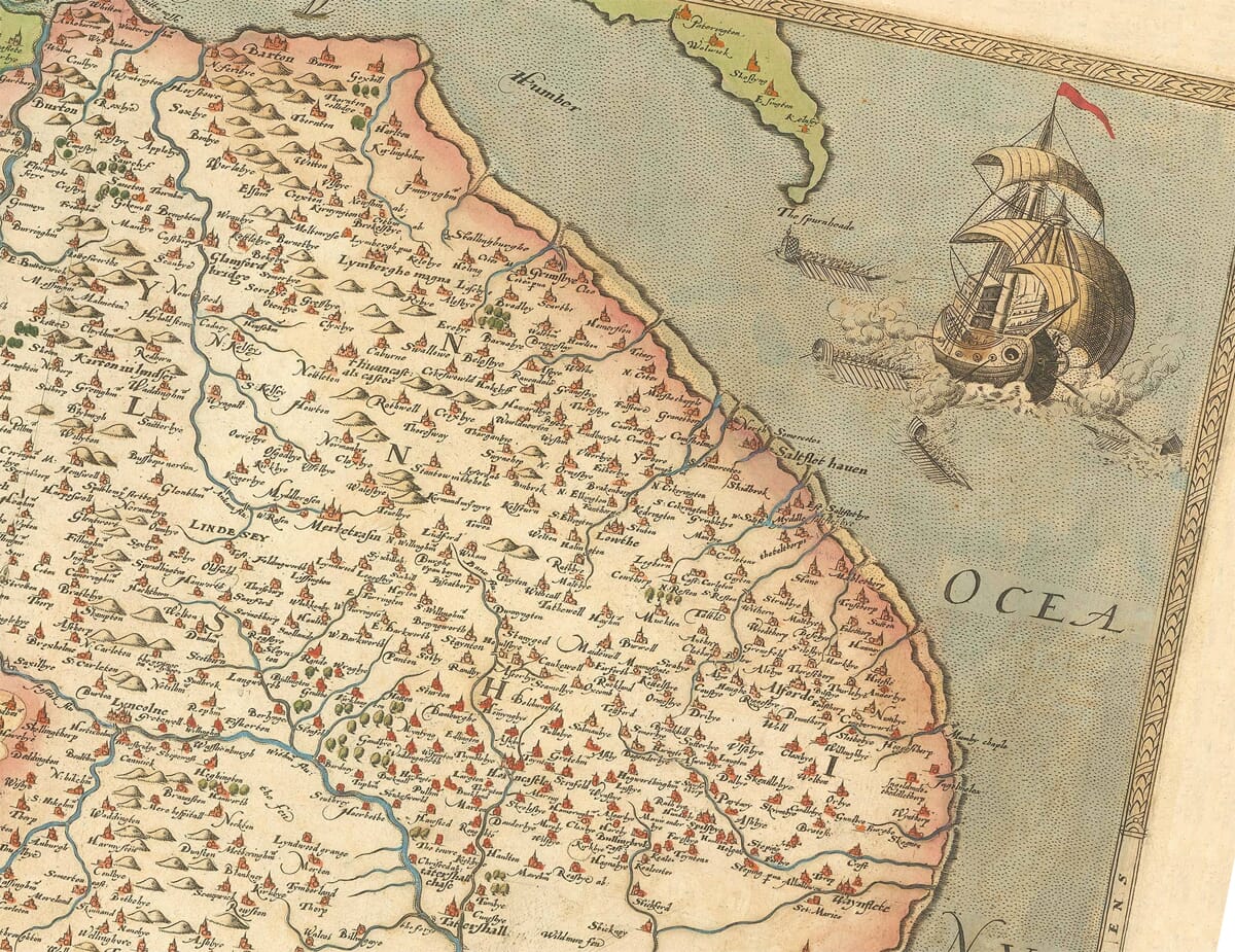
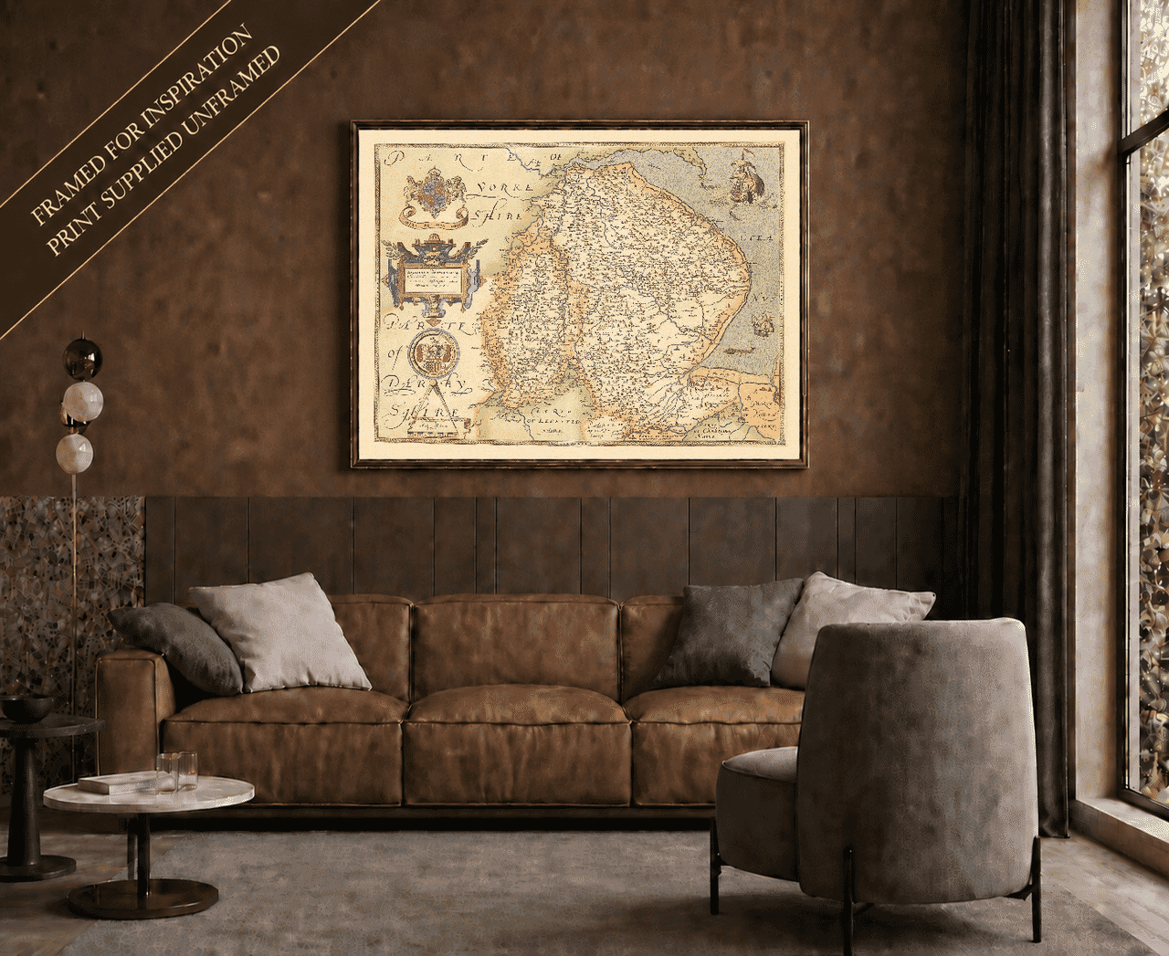
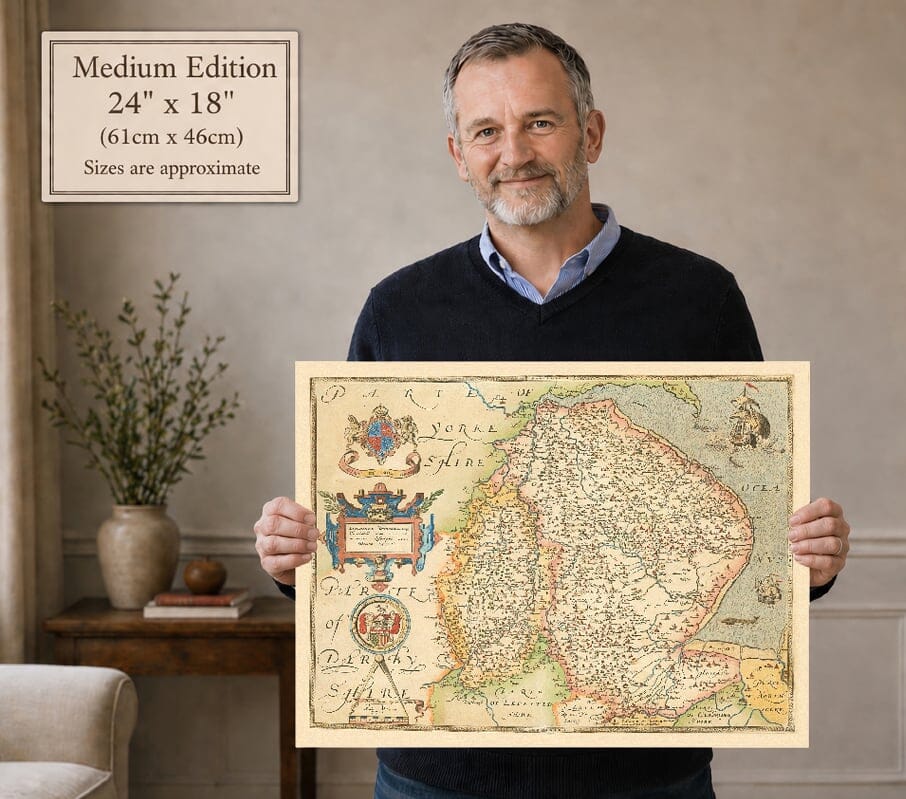
Saxton Map Old map of Lincolnshire and Nottinghamshire by Christopher Saxton, 1576 Saxton Map Nottinghamshire Detail old map with sailing ship Framed display example – print supplied unframed Model holding the medium edition of historic map of Nottinghamshire for size illustration

Old Map of Lincolnshire and Nottinghamshire by Christopher Saxton, 1576

Price range: £39.95 through £59.95

Old map of Lincolnshire and Nottinghamshire surveyed by Christopher Saxton and engraved by Remigius Hogenberg in 1576.

Discover Lincolnshire and Nottinghamshire as they appeared during the reign of Elizabeth I. Christopher Saxton’s remarkable 1576 map follows the Lincolnshire coast from the Humber to The Wash, while the River Trent winds through Nottinghamshire and the wooded country associated with Sherwood Forest.

Lincoln, Nottingham, Boston, Grantham, Stamford, Newark, Gainsborough, Worksop and many smaller communities can be found among rivers, forests and delicately engraved hills. A sailing ship, elaborate heraldry and richly coloured cartouches give the map the character of a great Elizabethan artwork.

Created during England’s first systematic county survey, this was the earliest printed map devoted to Lincolnshire and Nottinghamshire. It is reproduced here as a finely detailed art print on subtly textured paper.
+ read more

A stunning certified FINE ART PRINT on heavy textured art paper — not a poster

  • Direct from the publisher — no middlemen
  • Printed in-house in Cornwall
  • Free UK delivery — international shipping available
  • Produced to meet — and often exceed — museum-quality standards

SELECT SIZE

Inspecting Vintage Map Reproduction

Fine Art Map Reproductions – Museum-Quality Printing

Unlike most online offerings, our maps are produced entirely in-house, not outsourced to print-on-demand or drop-shipping services. This allows complete control over quality while offering better value. Each map begins with a high-resolution original, carefully enhanced and printed to order using archival papers and pigment inks for exceptional clarity, depth, and longevity. Every piece is personally overseen — no map leaves our workshop unless it is of a quality we would be proud to display ourselves.

Hand hold a magnifying glass over West Cornwall Map

Authentic Old Map Paper & Accurate Colour Reproduction

Paper choice is essential to the authenticity of our maps. We use specially sourced 190gsm paper made in the UK from pure materials and traditionally pressed with natural woollen felts. This process creates a subtle, randomly textured surface that closely resembles an original antique document. Likewise the use of premium quality ink fully saturates the paper, producing remarkable clarity, depth, and historical character. Colour fastness and sharpness will remain good for in excess of 100 years!

Map in Postal Tube
Buy Old Maps Online in the UK Today Trading online since 1999

The Old Map Company of Great Britain offers a vast and carefully curated collection of the very finest expertly reproduced vintage maps. Our range includes works by renowned cartographers such as John Speed and Willem Blaeu, covering Scotland, England, and beyond. Free UK courier delivery is included, with EU, USA, and worldwide shipping available at cost and calculated at checkout. If you need assistance, our team is always happy to help you choose the perfect map.

RECENT REVIEWS

Daz
DazGB
Verified ownerVerified owner
5/5

Speedy delivery A beautiful representation

2 months ago
David H
David H
Verified ownerVerified owner
5/5

Got there in time and loves it! Cheers David [Gift from US to UK]

4 months ago
Ellan C-S
Ellan C-S
Verified ownerVerified owner
5/5

Thanks Lauren. We received it today - it's gorgeous! Thank you, Ellan

4 months ago
Ivano Di Battista
Ivano Di Battista
Verified ownerVerified owner
5/5

Thank you for your prompt service. I have a gallery and framing business in South Wales. I'm so pleased it is printed in the UK

4 months ago
Robert B
Robert B
Verified ownerVerified owner
5/5

My Isles of Scilly map arrived safely and I'm delighted with it!

5 months ago
Andrew T
Andrew T
Reviewer
5/5

The print arrived safely and we're delighted with it - a lovely reminder of our honeymoon 15 years ago.

5 months ago
Hannah J
Hannah J
Verified ownerVerified owner
5/5

I have just received them! I'm sure our clients will be pleased with them and there could be more projects off the back of this one where we can use more. [Interior Designers]

5 months ago
Sean MacManus
Sean MacManus
Verified ownerVerified owner
5/5

I just received my map of Ireland by Ewart today and, as usual, I am delighted by its quality. The crispness and fineness of detail is excellent and the colour reproduction surpasses my expectations. Please relay my thanks to Steve for another fine effort!

5 months ago
John G
John G
Verified ownerVerified owner
5/5

Many thanks, Lauren. Very pleased with the map and the service: would recommend The Old Map Company to anyone interested in Old Maps.

7 months ago
Lois K
Lois K
Verified ownerVerified owner
5/5

Thrilled , Lauren! Thank You

7 months ago
Ed Simpson
Ed Simpson
Verified ownerVerified owner
5/5

Many thanks, the map arrived safely this morning, and I’m really pleased with it. A stunning reproduction, just as I had hoped. I will keep browsing your website, and may yet be tempted by more of your items! Have a great weekend.

7 months ago
Daniel McCade
Daniel McCade
Verified ownerVerified owner
5/5

Just arrived, wonderful map! Thanks very much!

8 months ago
Jonathon R
Jonathon R
Verified ownerVerified owner
5/5

The map – beautiful – arrived safely, very many thanks.

1 year ago
Rasa Terbetiene
Rasa Terbetiene
Verified ownerVerified owner
5/5

Thank you, I have already found the map. It’s wonderfull! Good luck! Rasa

4 years ago
Mina M.
Mina M.
Verified ownerVerified owner
5/5

My apologies for the very late reply. I wanted to reach out to thank you so much for rushing my order. My partner absolutely loved it. I am amazed with the service so that is a five-star from me. I wish you all the best.

4 years ago

Christopher Saxton’s map of Lincolnshire and Nottinghamshire was engraved in 1576 during the first systematic survey of the counties of England and Wales. The individual sheet was completed three years before Saxton’s finished county atlas appeared in 1579.

The map bears the Latin title Lincolniae Notinghamiaeque Comitatuum nova, vera et accurata descriptio, identifying it as a new and accurate description of the two counties. It is recognised as the first printed map devoted to either Lincolnshire or Nottinghamshire.

Map Details

  • Original title: Lincolniae Notinghamiaeque Comitatuum nova, vera et accurata descriptio
  • Counties shown: Lincolnshire and Nottinghamshire
  • Cartographer: Christopher Saxton
  • Engraver: Remigius Hogenberg
  • Date engraved: 1576
  • Atlas publication: London, 1579
  • Atlas: Atlas of the Counties of England and Wales
  • Principal places: Lincoln, Nottingham, Boston, Grantham, Stamford, Newark, Gainsborough and Worksop
  • Format: Engraved copperplate county map
  • Notable features: The Humber, River Trent, The Wash, Sherwood Forest, royal arms and a sailing ship

England’s First County Atlas

Saxton undertook his great survey during the reign of Elizabeth I, when accurate geographical information was becoming increasingly valuable for government, administration and defence. The project received the support of Thomas Seckford, a court official whose arms appear prominently on the map.

William Cecil, Lord Burghley, also recognised the strategic importance of the new county surveys. His proof copy of this particular map contains handwritten additions along tributaries of the Humber, showing how geographical information could be used for practical government and military planning.

The completed atlas established the shapes by which England and Wales were represented for generations. Saxton’s maps were repeatedly copied, adapted and reissued, influencing later county cartographers including John Speed.

Lincolnshire from the Humber to The Wash

Lincolnshire occupies most of the engraving, extending from the Humber in the north to Stamford and The Wash in the south. Lincoln stands prominently near the centre of the county, surrounded by market towns, villages and groups of pictorial hills.

Boston appears beside the River Witham, while Grantham lies farther west and Stamford marks the southern country. Gainsborough can be found beside the Trent, with the river forming an important geographical link between the two counties.

The complicated shoreline and channels around The Wash are shown with particular care. During the Elizabethan period, such coastal information had defensive as well as navigational importance. A large sailing ship adds movement and decorative interest to the North Sea.

Nottinghamshire and Sherwood Forest

Nottinghamshire is distinguished from its larger neighbour through coloured boundary lines and contrasting washes. Nottingham appears beside the River Trent, with Newark downstream and Worksop in the north of the county.

Woodland symbols identify the extensive forested landscape historically associated with Sherwood. Saxton also records Bestwood Park and the manor at Worksop, revealing that his survey included important estates and individual buildings as well as towns and natural features.

Roads are absent, as they commonly are from maps of this period. Instead, rivers, settlements, woods and hills provide the framework through which the Elizabethan landscape is understood.

Heraldry and Elizabethan Decoration

The map’s decorative elements express the authority behind Saxton’s survey. The royal arms of Elizabeth I occupy the upper-left corner, accompanied by a banner bearing the monarch’s motto. Beneath them, an elaborate cartouche presents the county title.

The arms of Thomas Seckford acknowledge the patron whose financial support helped make Saxton’s survey possible. Near the scale, inscriptions name Christopher Saxton as cartographer and Remigius Hogenberg as the engraver responsible for transferring the design onto copper.

More than four centuries after it was created, the map remains both an important historical document and an impressive work of Elizabethan design. Its combination of familiar towns, ancient place names, coloured boundaries and elaborate engraving offers a fascinating view of Lincolnshire and Nottinghamshire at the beginning of England’s printed county-map tradition.

You may also like…

×
Product added to cart
No products in the cart.