Joan Blaeu’s Map of Historic Lincolnshire
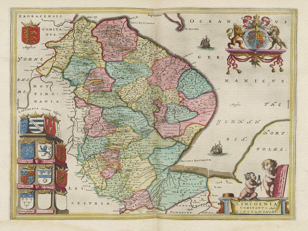
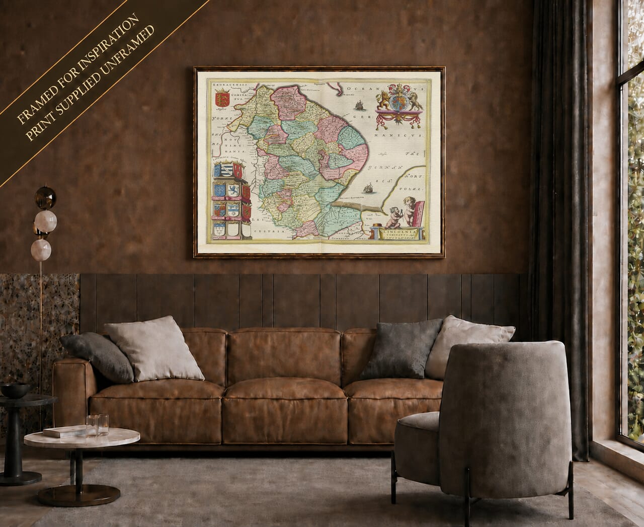
Joan Blaeu’s map of Lincolnshire was first published in Amsterdam in 1645 as part of the fourth volume of his Theatrum Orbis Terrarum, sive Atlas Novus. Its engraved title, Lincolnia Comitatus. Anglis Lincoln-Shire, identifies the county in both Latin and English.
The map formed part of Blaeu’s celebrated collection of English and Welsh county maps. Produced at the height of Amsterdam’s importance as a centre of mapmaking and international publishing, these substantial copperplate engravings combined geographical information with the elaborate cartouches and heraldry expected in a prestigious seventeenth-century atlas.
Blaeu’s English County Atlas
Joan Blaeu inherited the family publishing house following the death of his father, Willem Blaeu, in 1638. He expanded the business and ultimately created the Atlas Maior, one of the most ambitious atlas projects of the seventeenth century.
Blaeu did not undertake a new ground survey of Lincolnshire. Like the other maps in his English county series, its geography was based principally upon earlier English mapping, including the work of Christopher Saxton and John Speed. The Amsterdam workshop re-engraved and refined this inherited material, giving it the clarity, typography and decorative character associated with Blaeu.
The first edition appeared in 1645, but the plate was used again in later editions and eventually in the Atlas Maior. Surviving originals may therefore carry text in Latin, French, Dutch or German on the reverse. The Lincolnshire plate was among those that survived the destructive fire at the Blaeu workshop in 1672 and was subsequently adapted and reissued by David Mortier in the early eighteenth century.
The County from the Humber to the Wash
Historic Lincolnshire was one of England’s largest counties. It stretched from the Humber Estuary in the north to the Wash and the borders of Cambridgeshire and Northamptonshire in the south. The North Sea defined its long eastern coastline, while the Trent and neighbouring counties formed much of its western limit.
The county was traditionally divided into three principal areas: Lindsey in the north, Kesteven in the southwest and Holland in the southeast. These divisions reflected marked differences in landscape and settlement. The higher ground of the Lincolnshire Wolds contrasts with the low-lying coastal marshes and fenlands farther south.
Lincoln occupies a prominent position on Blaeu’s map. Its hilltop cathedral had dominated the surrounding landscape since the Middle Ages and made the city an important religious and administrative centre. Other notable settlements include Stamford and Grantham on the southern routes, Boston near the Wash, Louth below the Wolds, Gainsborough beside the Trent and the coastal settlement of Grimsby.
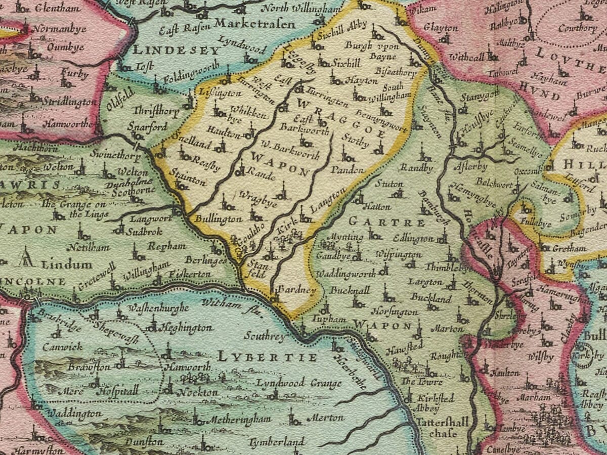
Numerous smaller towns, villages and religious sites are identified through conventional symbols. Historic spellings often differ from their modern equivalents, adding to the interest of examining familiar places through seventeenth-century eyes.
Rivers, Fenland and Coastal Geography
Lincolnshire’s waterways are essential to the map’s composition. The River Witham links Lincoln with Boston and the Wash, while the Trent runs along the western side of the county before entering the Humber. Other rivers and drainage channels cross the low-lying southern landscape.
The fenlands shown by Blaeu had been shaped by centuries of flooding, reclamation and local drainage. Large areas remained difficult to cross and were dependent upon embankments, waterways and carefully managed grazing. The systematic drainage and agricultural transformation associated with later centuries had not yet produced the landscape familiar today.
Blaeu represents relief through pictorial hills rather than measured contours. Woodland is shown by groups of individual trees, while towns and villages are distinguished by conventional building and church symbols. Roads are not recorded systematically, so the map should not be interpreted as a modern travelling map.
Ships engraved in the North Sea acknowledge Lincolnshire’s maritime setting. Boston had been one of medieval England’s most important ports, and although its international prominence had declined by the seventeenth century, the county’s rivers, coastal havens and access to the Wash remained economically significant.
Lincolnshire During the Civil War
The map appeared while England was experiencing the First Civil War. Lincolnshire had been contested by Royalist and Parliamentarian forces, with fighting at Gainsborough and Winceby in 1643 and the capture of Lincoln by Parliamentary forces in 1644.
Blaeu’s engraving was not intended to document these campaigns. It presents the county’s lasting geography rather than temporary troop movements or fortifications. Nevertheless, the peaceful landscape depicted on the map would have been immediately recognisable to people living through a period of considerable political and military disruption.
Heraldry and the Blaeu Style
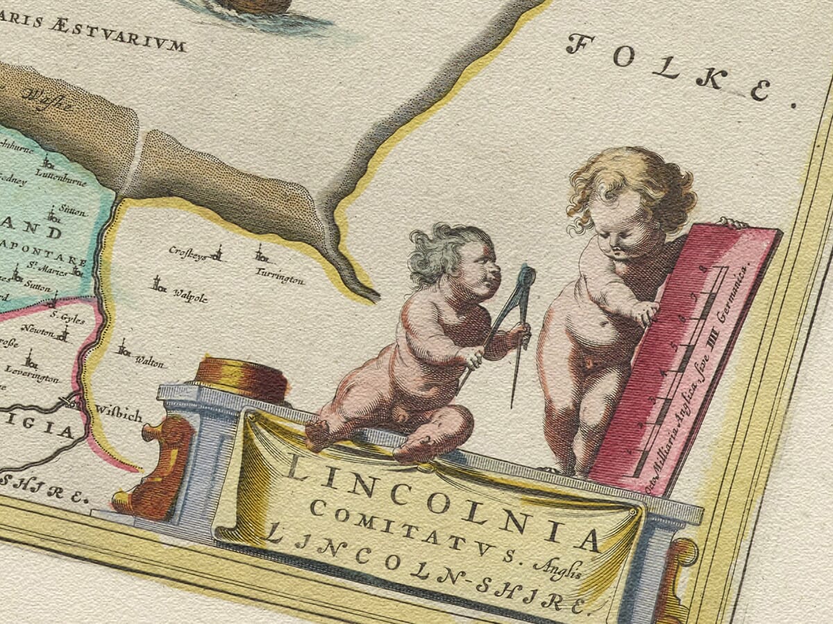
The title and scale are enclosed within a decorative cartouche supported by two putti holding measuring instruments. Royal crests and a pedestal displaying ten coats of arms, including two deliberately blank shields, give the map an imposing heraldic framework.
The arms associate the county with its noble titles and traditions of landownership, while ships and other decorative details balance the composition around Lincolnshire’s long coastline. These embellishments help transform a geographical record into a work intended for display and study.
Original examples were printed in black ink from an engraved copperplate, with colour applied separately to some copies. Surviving maps can consequently vary in appearance. More information is available in our article on the colouring of old maps.
Blaeu’s map preserves a compelling picture of Lincolnshire before modern drainage, railways and industrial development altered its landscape. It remains both a valuable historical document and an outstanding example of Dutch Golden Age cartography.





 Verified owner