Explore old UK county maps of England, Scotland and Wales, including maps by John Speed, Joan Blaeu, Christopher Greenwood and other important cartographers. Dating mainly from the seventeenth to nineteenth centuries, these historic maps record county boundaries, towns, villages, roads, rivers and country estates. Browse the collection to compare different counties, periods and styles of mapmaking.
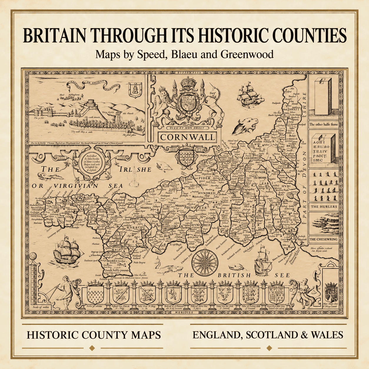
Historic County Maps of England, Scotland and Wales
County maps offer a fascinating record of Britain’s changing landscape. Long before modern road atlases and Ordnance Survey mapping, cartographers combined geographical observation with elaborate engraving to depict individual counties, their towns, villages, rivers, estates and ancient boundaries.
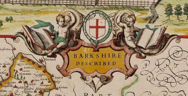
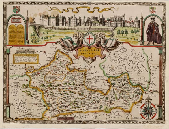
Our collection includes reproductions of maps by some of the most important names in British cartography. John Speed’s celebrated seventeenth-century county maps are particularly admired for their decorative borders, coats of arms, town plans and views of notable buildings. First published in The Theatre of the Empire of Great Britaine, they remain among the most recognisable and collectable maps of England and Wales.
The collection also includes county maps published by Joan Blaeu in Amsterdam during the seventeenth century. Blaeu’s finely engraved maps are distinguished by their ornamental title cartouches, heraldic decoration and elegant presentation. Many were based upon the earlier surveys of British cartographers but were prepared for an international audience through one of Europe’s most prestigious map-publishing houses.
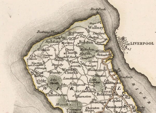
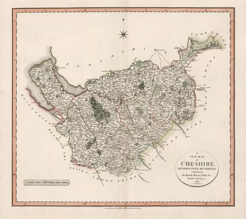
For those interested in a later and more detailed view of the British landscape, our nineteenth-century maps include the work of Christopher and John Greenwood. Their county surveys record roads, settlements, country estates, parkland and administrative divisions during a period of considerable social and industrial change.
Find an Old Map of Your County
Whether you are searching for your birthplace, tracing a family connection or choosing a meaningful gift, an old county map provides a wonderfully personal link with a particular part of Britain. Many counties are represented by more than one cartographer, allowing you to compare different periods and decorative styles.
Each reproduction is available in a choice of sizes and is supplied unframed, ready for you to display in a setting of your own choice. Browse the collection above to find historic maps of counties throughout England, Scotland and Wales.