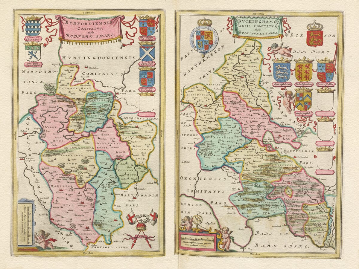
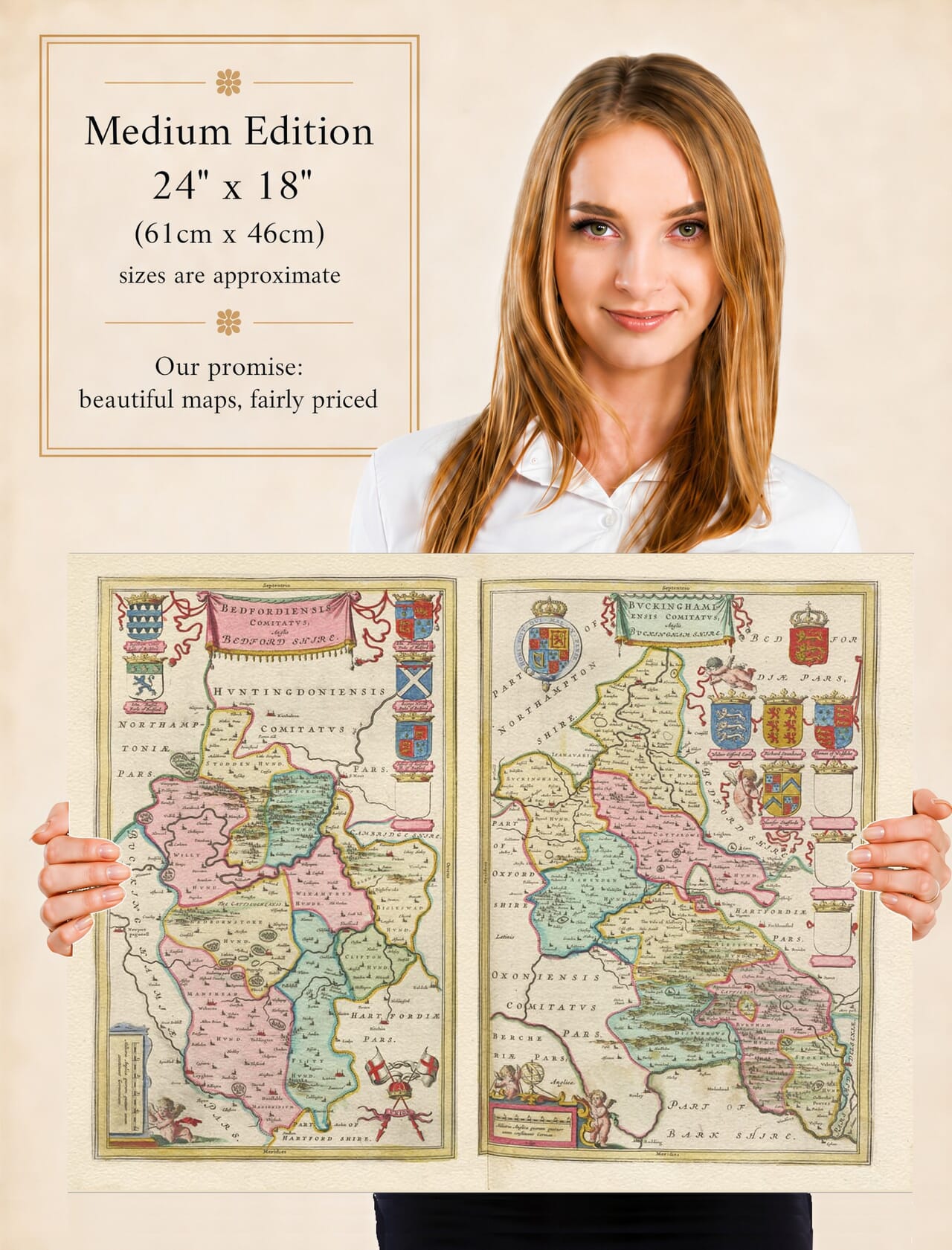
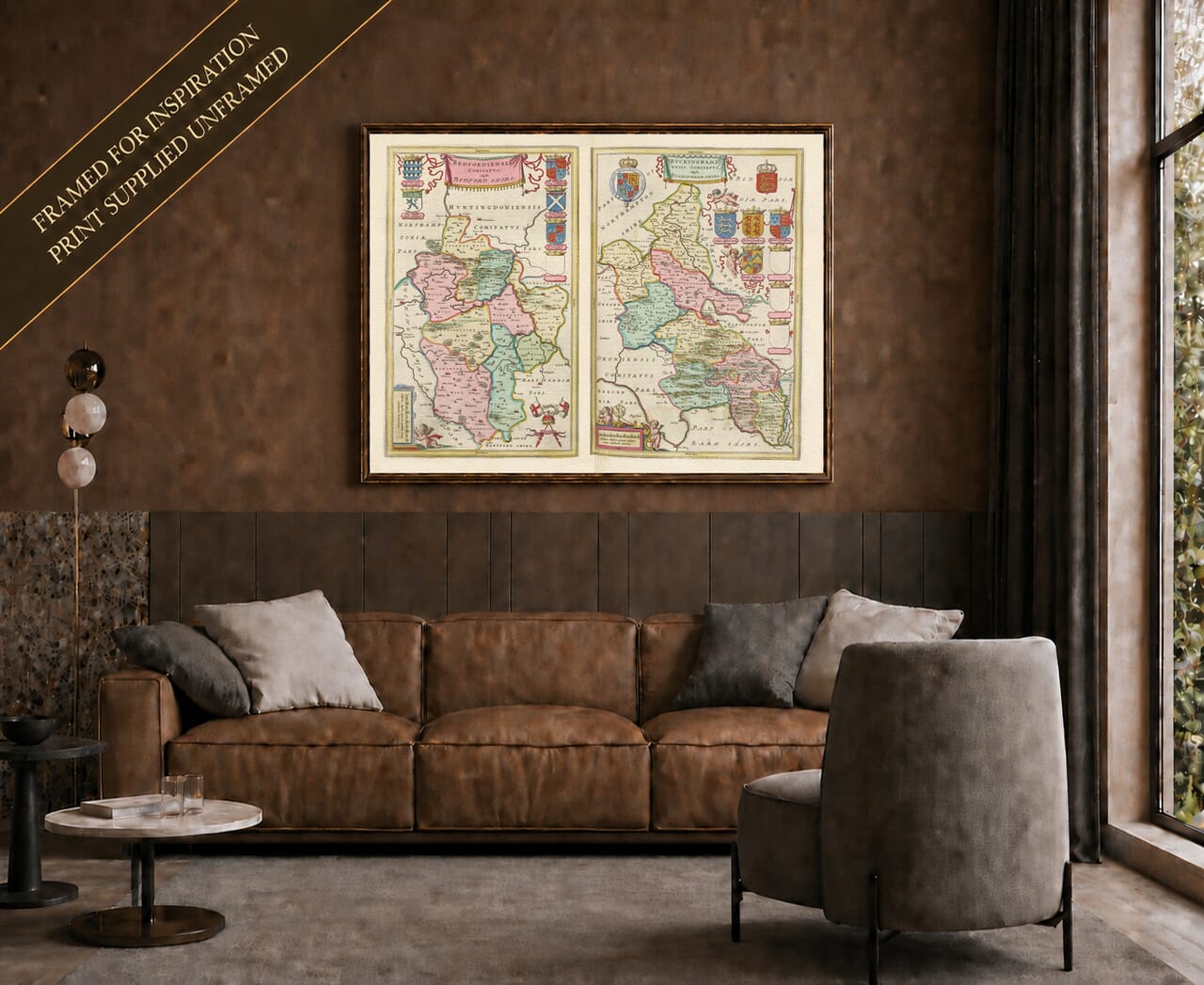
Joan Blaeu’s 1645 map of Bedfordshire and Buckinghamshire is unusual because it contains two separate county maps on a single engraved plate. Each county has its own title, geographical arrangement and heraldic decoration, allowing two neighbouring parts of England to be studied side by side.
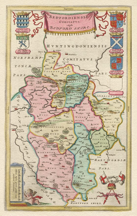
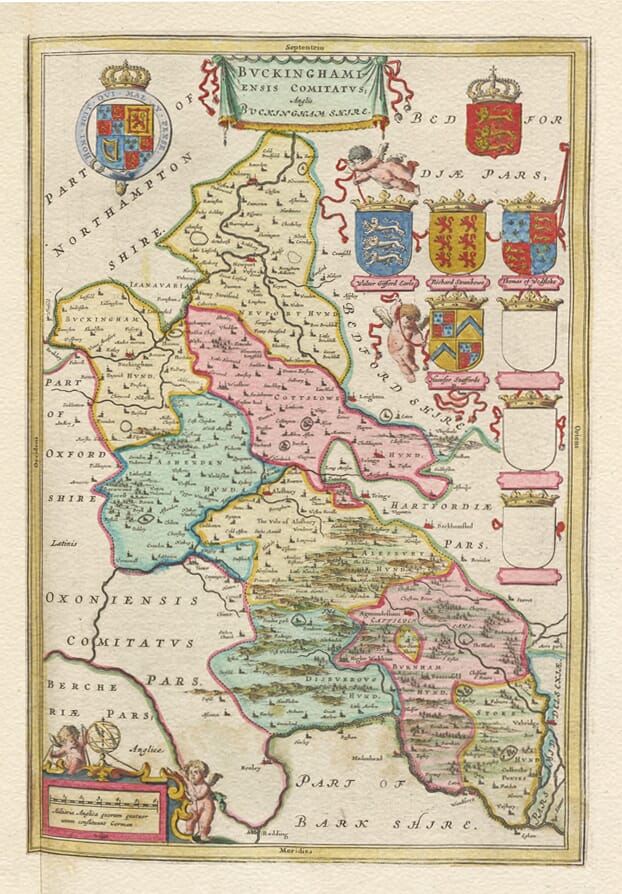
The formal titles are Bedfordiensis Comitatus, Anglis Bedford Shire and Buckinghamiensis Comitatus, Anglis Buckingham Shire. The Latin word comitatus means county, while the additional English wording ensured that the subject of each map remained readily identifiable to an international atlas audience.
The plate was first published in Amsterdam in 1645 in Le Théâtre du Monde ou Nouvel Atlas, the French edition of Joan Blaeu’s expanding Atlas Novus. Blaeu had taken control of the family publishing house following the death of his father, Willem Jansz. Blaeu, in 1638. Under Joan’s direction, the firm added a substantial group of English and Welsh county maps to its atlas.
These maps were not based upon a new survey undertaken by Blaeu in England. The Amsterdam workshop compiled its county geography from existing English cartographic sources, particularly the tradition established by Christopher Saxton and subsequently developed by John Speed. Blaeu’s contribution lay in adapting this information into the consistent and highly decorative style associated with his atlas publishing house.
Bedfordshire in the Seventeenth Century
The Bedfordshire map centres on the county town of Bedford and the course of the River Great Ouse. Towns and settlements including Luton, Dunstable, Leighton Buzzard, Biggleswade and Ampthill can be located among numerous smaller places recorded in their seventeenth-century forms.
The map predates the enormous expansion of Luton and the other industrial and residential developments that transformed the county in later centuries. It therefore presents Bedfordshire as a predominantly rural landscape of established market towns, villages, rivers and areas of pictorially represented higher ground.
Dunstable’s position near the ancient routes now known as Watling Street and the Icknield Way gives the town particular historical interest. However, Blaeu’s map is not a road map: routes must not be inferred from the placement of towns and settlements alone.
Buckinghamshire from the Thames to the Midlands
The accompanying Buckinghamshire map records the county’s distinctive elongated shape, extending from the Thames and the Chiltern Hills northwards towards Northamptonshire. Buckingham, Aylesbury, High Wycombe, Marlow, Amersham and numerous surrounding communities appear within the historic county boundary.
For a modern viewer, the map is especially interesting because it predates the development of Milton Keynes by more than three centuries. The northern part of the county is instead shown as a landscape of individual villages and small settlements. In the south, the Thames and the higher ground of the Chilterns provide recognisable geographical reference points.
Historic spelling forms encourage close examination, although they should not automatically be interpreted as direct records of local pronunciation. Spellings on seventeenth-century maps could reflect earlier source maps, Latin conventions, engravers’ choices and the absence of universally standardised English spelling.
Heraldry and the Shared-Sheet Design
The arrangement of two maps on one plate allowed Blaeu to give both counties an individually framed identity while maintaining a balanced overall composition. Thirteen heraldic shields decorate the sheet: six accompany the Bedfordshire map and seven accompany Buckinghamshire. Four of these shields were left blank on the engraved plate.
Blank shields occur on a number of early county maps and should not be assigned to particular families without documentary evidence. The remaining arms contribute colour and historical interest while demonstrating the importance of heraldry within seventeenth-century county-map design.
The map was printed from an engraved copperplate, with colour added by hand to selected impressions. Different surviving originals can therefore vary in colour, language of the text printed on the reverse and date of publication. The same plate continued to appear in later Blaeu atlases after its first edition in 1645.
For people with connections to either county, this shared-sheet map offers an absorbing comparison between the historic landscapes of Bedfordshire and Buckinghamshire. Its combination of two maps, early place names, heraldic decoration and careful engraving makes it one of the most distinctive county plates in Blaeu’s English atlas.





 Verified owner