Cheshire and the County Palatine on Joan Blaeu’s Map
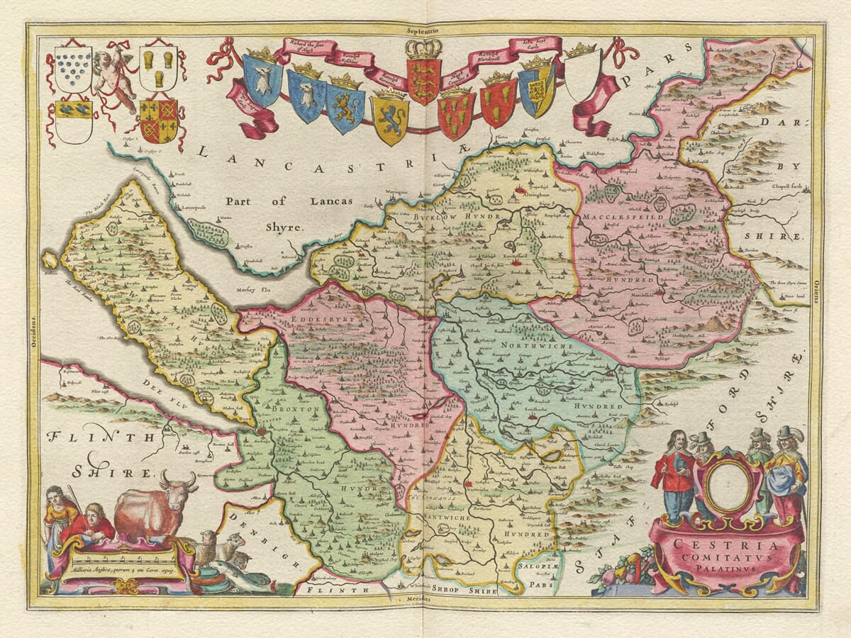
Joan Blaeu’s map of Cheshire was first published in Amsterdam in 1645 as part of Le Théâtre du Monde ou Nouvel Atlas, the French edition of his expanding Atlas Novus. Its Latin title, Cestria Comitatus Palatinus, identifies Cheshire not simply as a county but as the County Palatine of Chester.
The term “County Palatine” reflects Cheshire’s distinctive administrative history. During the medieval period, the earls of Chester exercised unusually extensive authority within the county. This arrangement developed partly because of Cheshire’s position on England’s border with Wales, where local government and defence required powers that would normally have been reserved to the Crown.
Although those powers changed over time, Cheshire retained its palatine identity for centuries. Blaeu’s decision to include it in the map title therefore records an important constitutional distinction as well as the county’s geography.
Blaeu’s Sources for the Map
Joan Blaeu did not conduct a new ground survey of Cheshire. His Amsterdam workshop compiled the English county maps from established cartographic material, drawing upon the tradition created by Christopher Saxton, John Speed and other English mapmakers.
The geographical information was reorganised and engraved in the consistent house style developed for Blaeu’s atlases. Towns, villages, rivers, woodland and areas of higher ground are represented using conventional seventeenth-century symbols. These details provide a valuable historical impression of the county, but they should not be interpreted as the measured information of a modern Ordnance Survey map.
Chester and the Historic County
Chester appears towards the western side of the map, close to the River Dee and the Welsh border. Its importance long predated Blaeu’s publication. Established as a Roman fortress and later enclosed by its celebrated walls, Chester became the administrative and commercial centre of the county.
Blaeu marks the city within the surrounding geography but does not provide a separate architectural view or detailed street plan. The map’s value lies in showing Chester’s position in relation to the Dee, the Wirral peninsula, north Wales and the settlements of central Cheshire.
The historic county shown by Blaeu differs considerably from today’s administrative map. Areas now associated with Greater Manchester and Merseyside—including Stockport and other communities south of the River Mersey—formed part of historic Cheshire. This gives the engraving interest beyond the boundaries of the modern ceremonial county.
The Seven Hundreds of Cheshire
Historic Cheshire was divided into seven administrative hundreds: Broxton, Bucklow, Eddisbury, Macclesfield, Nantwich, Northwich and Wirral. Hundreds originated as subdivisions used for local government, taxation and justice, although their practical importance varied over time.
The long, irregular shape of Cheshire stretches from the Wirral and the Dee estuary in the west towards the higher ground adjoining Derbyshire in the east. The River Mersey forms an important reference point along the north, while the county’s central plain is crossed by numerous smaller rivers and streams.
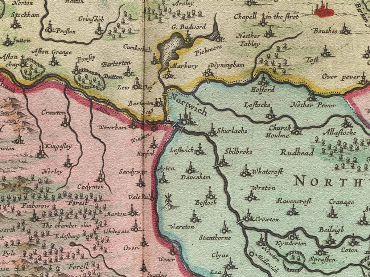
Settlements including Macclesfield, Congleton, Knutsford, Stockport and Frodsham can be found among many villages recorded under early spelling forms. These spellings may derive from earlier source maps, engravers’ choices or the inconsistent spelling conventions of seventeenth-century English.
Cheshire’s Historic Salt Towns
Northwich, Middlewich and Nantwich are particularly significant. The three Cheshire “wich” towns developed around natural brine springs and became longstanding centres of salt production. Their importance extended back many centuries and continued well beyond Blaeu’s lifetime.
Salt was essential for preserving meat, fish and other food, making the Cheshire industry economically valuable long before the later development of large-scale mining and chemical production. The map does not illustrate salt works directly, but it records the towns within the landscape that supported this distinctive regional industry.
Heraldry and Decoration
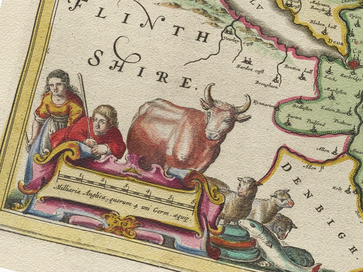
The map’s geographical content is complemented by ornamental cartouches and an extensive heraldic display. Twelve family shields appear on the engraving, including one left blank, with a further blank shield positioned above the title.
Blank shields are found on several early county maps and should not be assigned to particular families without documentary evidence. The engraved arms nevertheless provide an important decorative link between Cheshire’s geography and the heraldic traditions of its landowning families.
The map was printed from a copperplate, with colour applied by hand to selected impressions. Surviving originals can consequently differ in colouring and in the language printed on their reverse. Blaeu continued using the Cheshire plate in later editions, including the greatly enlarged Atlas Maior published from 1662.
For modern viewers, the map combines recognisable towns, historic county boundaries, salt-making heritage and elaborate heraldry. It also offers an attractive alternative to John Speed’s earlier map of Cheshire, allowing the county to be seen through two of the most celebrated cartographic styles of the seventeenth century.





 Verified owner