Old Maps of Asia, Australia & the Pacific
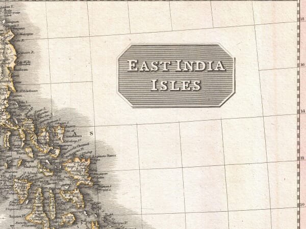
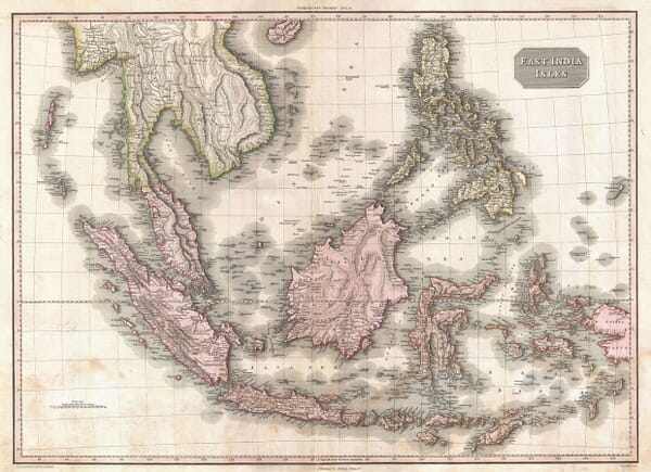
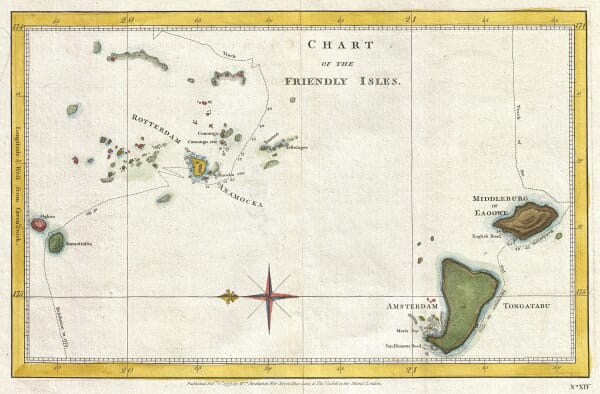
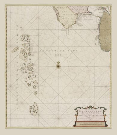
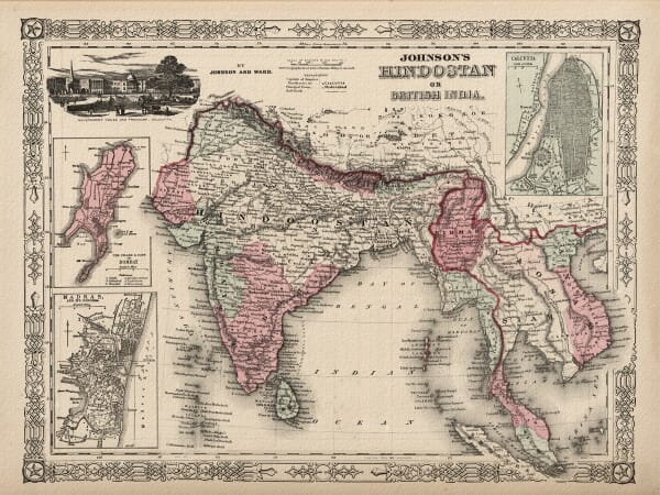
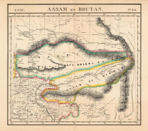
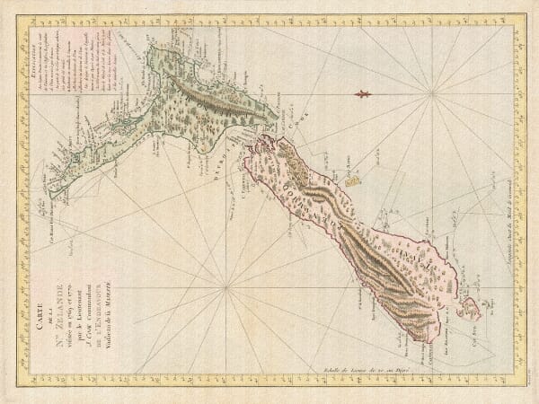
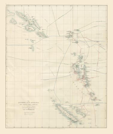
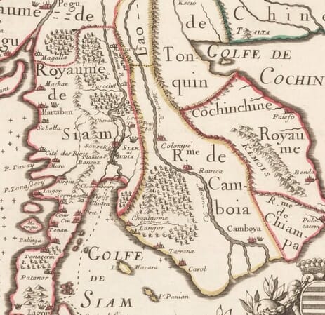
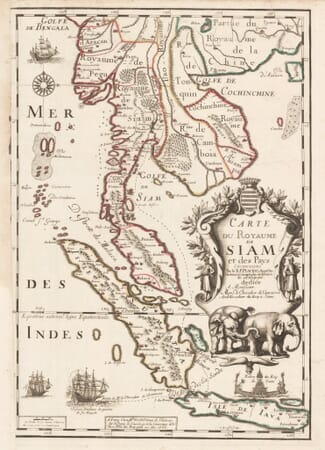
Historic maps of Asia, Australia and the Pacific record a geography assembled over centuries from regional knowledge, maritime charts, diplomatic reports and European voyages. This collection includes maps of India, China, Japan, Persia and South-East Asia, together with Australia, New Zealand, New Guinea and island groups across the Pacific.
Coastlines and sea routes were often mapped before inland regions were understood in European publishing centres. Changing place names, incomplete shorelines and uncertain boundaries show how geographical information was gathered, copied and revised as surveys and voyages supplied new evidence.