Joan Blaeu’s Old Map of South Carrick
Joan Blaeu’s map of southern Carrick was first published in Amsterdam in 1654 as part of his groundbreaking Atlas of Scotland. Its original title, Carricta Meridionalis — The South part of Carrick, identifies it as the companion to Blaeu’s separate map of northern Carrick.
The engraving was created from the surveys of Timothy Pont, who explored Scotland during the closing decades of the sixteenth century. His observations preserved a remarkable picture of South Carrick’s rivers, settlements, castles and estates before the landscape could be recorded through modern scientific surveying.
Map details
- Original title: Carricta Meridionalis — The South part of Carrick
- Original cartographer and surveyor: Timothy Pont
- Publisher: Joan Blaeu
- First published: Amsterdam, 1654
- Area shown: Southern Carrick, from the Water of Girvan and Carrick Forest to Ballantrae and the neighbouring Galloway country
- Principal places: Girvan, Barr, Colmonell, Ballantrae and their surrounding estates
- Principal waterways: River Stinchar, Water of Girvan and part of the Water of Minnoch
- Source atlas: Joan Blaeu’s Atlas of Scotland
- Product type: Fine art reproduction print of the historic map
From Pont’s Survey to Blaeu’s Atlas
Timothy Pont undertook one of the earliest detailed attempts to map Scotland from direct observation. Travelling through the country during the late sixteenth and early seventeenth centuries, he recorded coastlines, rivers, lochs, hills, settlements and important buildings. His surviving manuscripts are especially valuable because they preserve the names and locations of many places before later agricultural, industrial and transport changes.
Pont died before his planned Scottish atlas could be published. His papers were preserved and eventually entrusted to Sir John Scot of Scotstarvit, who helped arrange for them to reach Joan Blaeu’s celebrated mapmaking workshop in Amsterdam. Scottish scholars, particularly Robert Gordon of Straloch and his son James, assisted with the preparation and revision of the material.
Blaeu transformed these working surveys into finely engraved atlas plates. Published in 1654 as the fifth volume of his Theatrum Orbis Terrarum, sive Atlas Novus, the resulting collection was the first printed atlas devoted to Scotland.
The Southern Country of Carrick
Carrick formed the southernmost of Ayrshire’s three historic divisions, the others being Kyle and Cunninghame. Its landscape stretched from the gentler country south of Ayr into hills and glens adjoining Galloway.
The district was too extensive to be represented comfortably on a single atlas plate, so Blaeu published separate maps of its northern and southern portions. Carricta Meridionalis begins around the Water of Girvan and Carrick Forest and continues southwards towards Ballantrae.
Much of the map is organised around the River Stinchar and its tributaries. Rising in the Carrick uplands, the river winds through the interior before entering the sea at Ballantrae. The settlement and the nearby Ardstinchar Castle occupy a conspicuous position beside its estuary.
Barr and Colmonell appear farther upstream, accompanied by numerous smaller settlements, towers and estates. Pont’s attention to these inhabited places gives the map particular appeal for anyone tracing Ayrshire family or local history. Some names remain immediately recognisable, while others survive in older spellings or belong to properties that have since changed considerably.
Rivers, Hills and the Carrick Coast
Water dominates the structure of the engraving. The River Stinchar connects the inland valleys with the coast, while the Water of Girvan defines much of the northern extent. Part of the Water of Minnoch catchment is also shown towards the more remote eastern country.
The coast provided an important route for travel, fishing and local exchange at a time when journeys across the uplands could be difficult. Blaeu does not crowd the surrounding sea with elaborate maritime scenes; instead, the coastline provides a clear western boundary to the intricate network of rivers and settlements inland.
Ranges of pictorial hills convey the broken character of the country, while groups of individually engraved trees indicate woodland. Castles and substantial houses are distinguished from villages through small architectural symbols, revealing the importance attached to estates and fortified residences.
The map was never intended to provide the measured precision of a modern Ordnance Survey sheet. Roads are not recorded systematically, distances are approximate and individual landscape features may be enlarged to emphasise their local importance. These conventions are part of the map’s fascination, showing not only the geography of Carrick but how that geography was understood and valued in Pont’s time.
Cartouches and Companion Maps
A decorative figure cartouche encloses the map’s title, while a separate scale of miles is accompanied by four putti. These carefully arranged ornaments brought the elegance of Dutch Golden Age engraving to Pont’s closely observed Scottish geography.
Historic colouring further distinguishes rivers, boundaries, hills and decorative figures without obscuring the engraved place names. The result is both an important historical document and an antique map of considerable visual character.
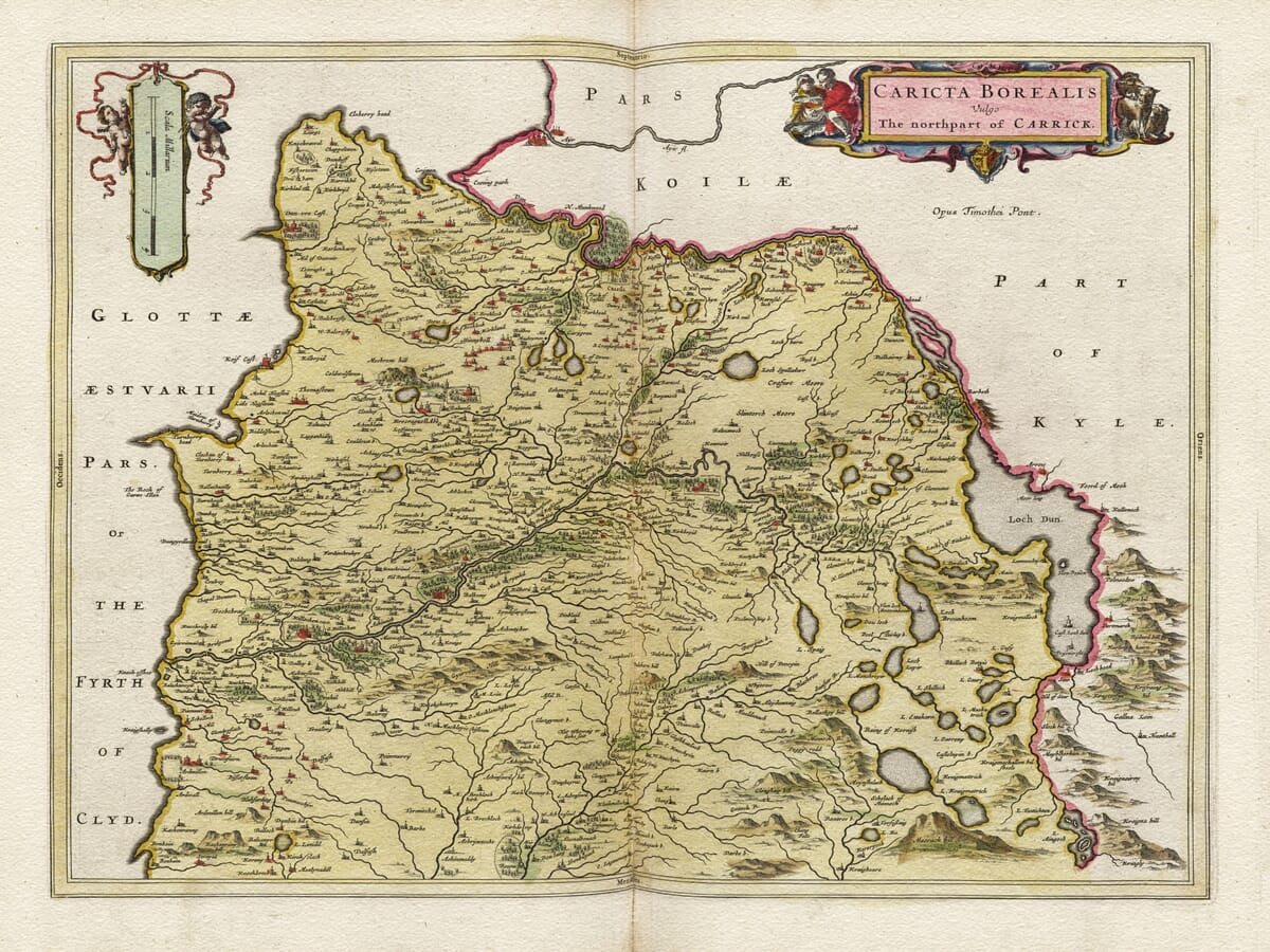
This southern plate can be displayed independently or alongside Blaeu’s companion
old map of North Carrick. Together, the two maps reunite the coast, glens, settlements and uplands of historic Carrick in a pair with a particularly meaningful connection to southern Ayrshire.






 Verified owner














