Vintage Esso Map of Ireland by Alfred E. Taylor, 1930s pictorial road map
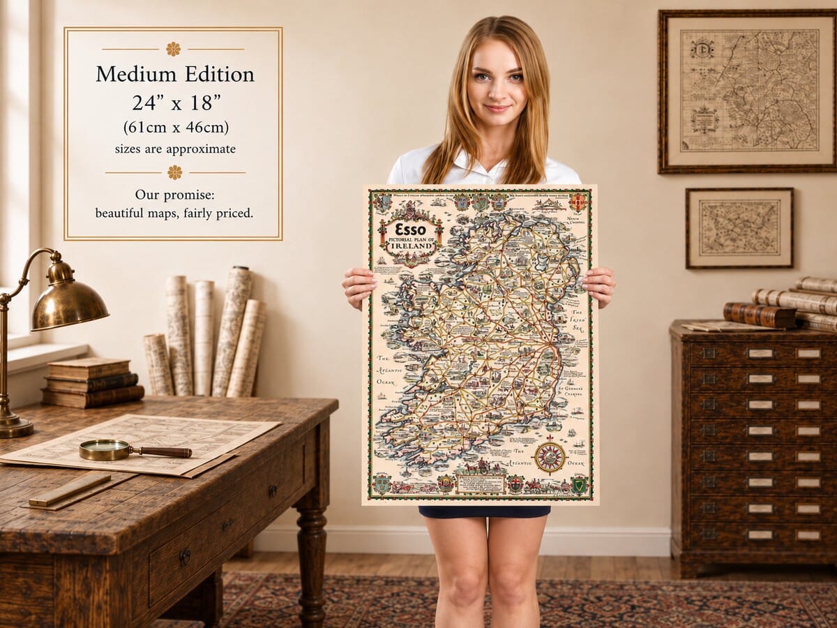
Vintage Esso Map of Ireland by Alfred E. Taylor, 1930s pictorial road map Vintage Esso Map of Ireland — illustrated map detail 1 Vintage Esso Map of Ireland — illustrated map detail 2 Vintage Esso Map of Ireland — illustrated map detail 3 Esso Ireland map held by model showing the medium edition print

Vintage Esso Map of Ireland

Price range: £29.95 through £59.95

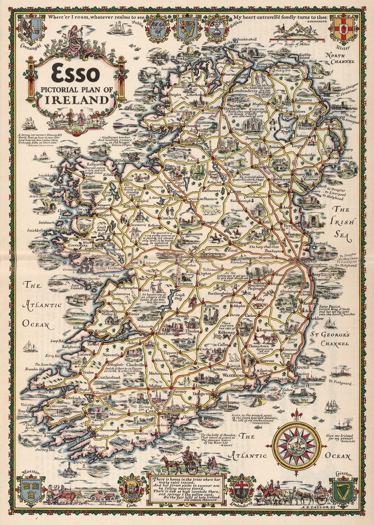
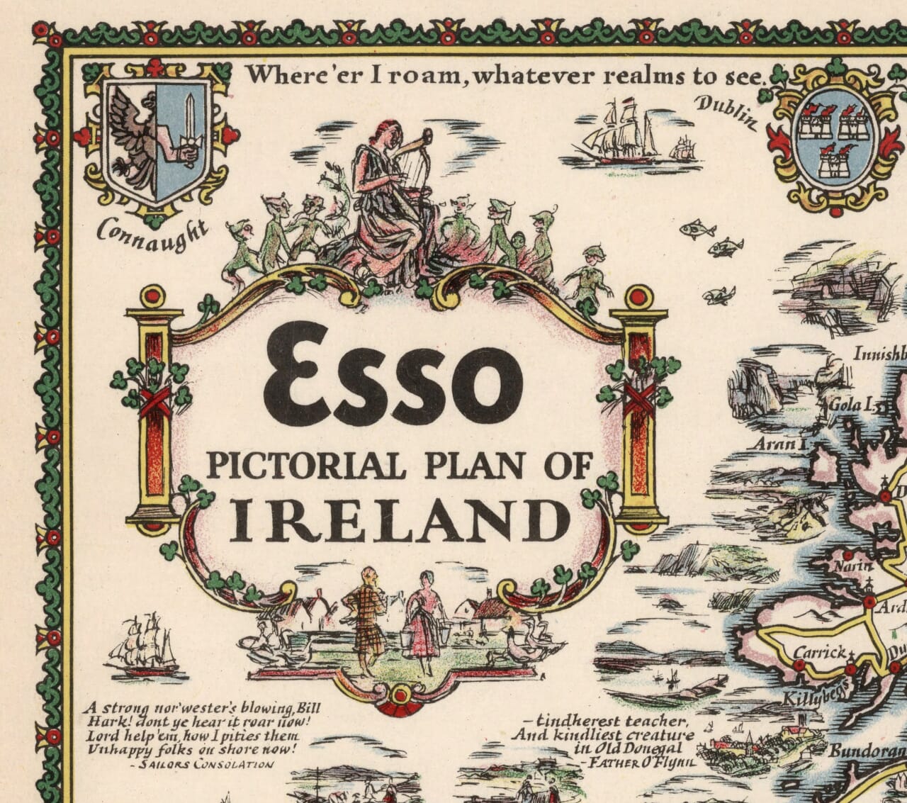
Ireland in pictures, by Alfred E. Taylor, from a design dated 1933.

From the rugged Atlantic shore to the ports of the Irish Sea, this Esso pictorial map fills Ireland with small discoveries. Roads wind between castles, market towns and lakes, while sailing ships, literary quotations and lively figures occupy the spaces around them. Dublin, Belfast, Cork and Londonderry appear alongside quieter destinations, including Glendalough, Connemara and the peninsulas of Kerry. Provincial emblems and an elaborate compass rose give the composition its distinctive decorative character. Reproduced as a fine art print, it rewards both a distant view of the island and a closer look at Taylor’s humorous, carefully placed details. A particularly appealing choice for anyone with Irish family connections or happy memories of travelling its roads.

+ Read more

Size

Size

UK delivery just £4.95 per order · International delivery available.

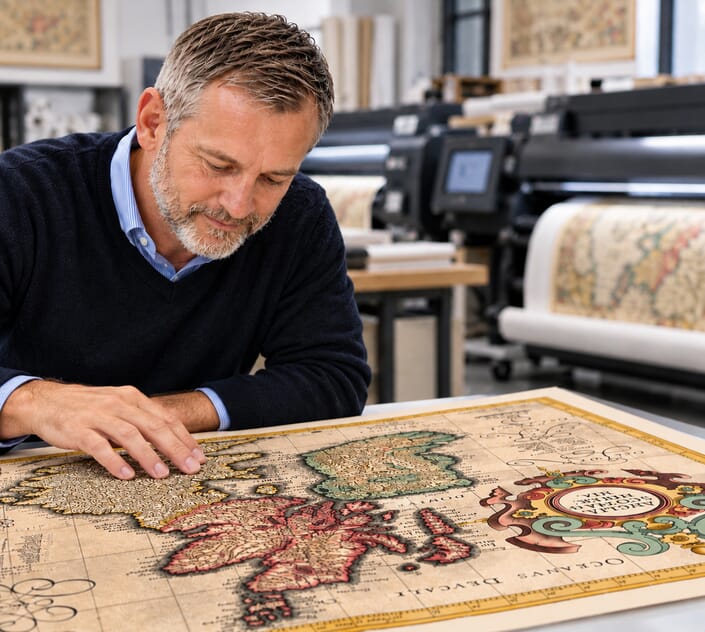
Inspecting Mercator's 1623 old map of Great Britain and Ireland

Fine Art Map Reproductions – Museum-Quality Printing

Unlike most online offerings, our maps are produced entirely in-house, not outsourced to print-on-demand or drop-shipping services. This allows complete control over quality while offering better value. Each map begins with a high-resolution original, carefully enhanced and printed to order using archival papers and pigment inks for exceptional clarity, depth, and longevity. Every piece is personally overseen — no map leaves our workshop unless it is of a quality we would be proud to display ourselves.

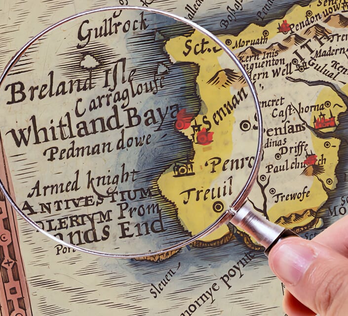
Hand hold a magnifying glass over West Cornwall Map

Authentic Old Map Paper & Accurate Colour Reproduction

Paper choice is essential to the authenticity of our maps. We use specially sourced 190gsm paper made in the UK from pure materials and traditionally pressed with natural woollen felts. This process creates a subtle, randomly textured surface that closely resembles an original antique document. Likewise the use of premium quality ink fully saturates the paper, producing remarkable clarity, depth, and historical character. Colour fastness and sharpness will remain good for in excess of 100 years!

Map in Postal Tube

Buy Old Maps Online in the UK Today Trading online since 1999

The Old Map Company of Great Britain offers a vast and carefully curated collection of the very finest expertly reproduced vintage maps. Our range includes works by renowned cartographers such as John Speed and Willem Blaeu, covering Scotland, England, and beyond. UK delivery is just £4.95 per order, with EU, USA, and worldwide shipping available at cost and calculated at checkout. If you need assistance, our team is always happy to help you choose the perfect map.

RECENT REVIEWS

Daz
DazGB
Verified ownerVerified owner
5/5

Speedy delivery A beautiful representation

4 months ago
David H
David H
Verified ownerVerified owner
5/5

Got there in time and loves it! Cheers David [Gift from US to UK]

6 months ago
Ellan C-S
Ellan C-S
Verified ownerVerified owner
5/5

Thanks Lauren. We received it today - it's gorgeous! Thank you, Ellan

6 months ago
Ivano Di Battista
Ivano Di Battista
Verified ownerVerified owner
5/5

Thank you for your prompt service. I have a gallery and framing business in South Wales. I'm so pleased it is printed in the UK

6 months ago
Robert B
Robert B
Verified ownerVerified owner
5/5

My Isles of Scilly map arrived safely and I'm delighted with it!

7 months ago
Andrew T
Andrew T
Reviewer
5/5

The print arrived safely and we're delighted with it - a lovely reminder of our honeymoon 15 years ago.

7 months ago
Hannah J
Hannah J
Verified ownerVerified owner
5/5

I have just received them! I'm sure our clients will be pleased with them and there could be more projects off the back of this one where we can use more. [Interior Designers]

7 months ago
Sean MacManus
Sean MacManus
Verified ownerVerified owner
5/5

I just received my map of Ireland by Ewart today and, as usual, I am delighted by its quality. The crispness and fineness of detail is excellent and the colour reproduction surpasses my expectations. Please relay my thanks to Steve for another fine effort!

7 months ago
John G
John G
Verified ownerVerified owner
5/5

Many thanks, Lauren. Very pleased with the map and the service: would recommend The Old Map Company to anyone interested in Old Maps.

9 months ago
Lois K
Lois K
Verified ownerVerified owner
5/5

Thrilled , Lauren! Thank You

9 months ago
Ed Simpson
Ed Simpson
Verified ownerVerified owner
5/5

Many thanks, the map arrived safely this morning, and I’m really pleased with it. A stunning reproduction, just as I had hoped. I will keep browsing your website, and may yet be tempted by more of your items! Have a great weekend.

9 months ago
Daniel McCade
Daniel McCade
Verified ownerVerified owner
5/5

Just arrived, wonderful map! Thanks very much!

10 months ago
Jonathon R
Jonathon R
Verified ownerVerified owner
5/5

The map – beautiful – arrived safely, very many thanks.

1 year ago
Rasa Terbetiene
Rasa Terbetiene
Verified ownerVerified owner
5/5

Thank you, I have already found the map. It’s wonderfull! Good luck! Rasa

4 years ago
Mina M.
Mina M.
Verified ownerVerified owner
5/5

My apologies for the very late reply. I wanted to reach out to thank you so much for rushing my order. My partner absolutely loved it. I am amazed with the service so that is a five-star from me. I wish you all the best.

4 years ago

Around the area

Taylor presents Ireland as a continuous landscape of roads, waterways and local stories. The eye can travel from Malin Head at the northern tip to Cape Clear in the south, following routes punctuated by little drawings of buildings and people. Although the whole island shares one decorative frame, the map belongs to the period after partition. Its emphasis is touring and cultural association rather than a detailed explanation of political boundaries.

Along the eastern shore, Dublin forms a conspicuous meeting point of roads. Nearby names lead towards Maynooth, Drogheda and the Boyne country, while southwards the route passes Bray and Wicklow. Inland, Glendalough is accompanied by its ecclesiastical associations, placing an ancient religious landscape within easy imaginative reach of the capital. Taylor also marks sea connections, reminding the viewer that arrival by ship was part of the journey for many visitors.

The north has a different rhythm. Belfast faces its lough, with Carrickfergus and Bangor close by, while the road towards the Antrim coast brings Ballymena, Ballycastle and the Giant’s Causeway into view. Portrush and Dunluce Castle occupy the same crowded coastal strip. Farther west, Londonderry stands beside the Foyle, and Donegal opens into an indented Atlantic coast. The illustrations encourage pauses at individual landmarks rather than a hurried passage between cities.

Moving down the western side, the drawing becomes an intricate arrangement of bays, islands and headlands. Achill, Clew Bay and Connemara give this part of the sheet a particularly irregular outline. Galway sits at the head of its broad bay, with the Aran Islands offshore. Roads thread inland around the lakes, including Lough Corrib and Lough Mask. The contrast between these open waters and the closely packed coastal names makes the western landscape satisfying to study.

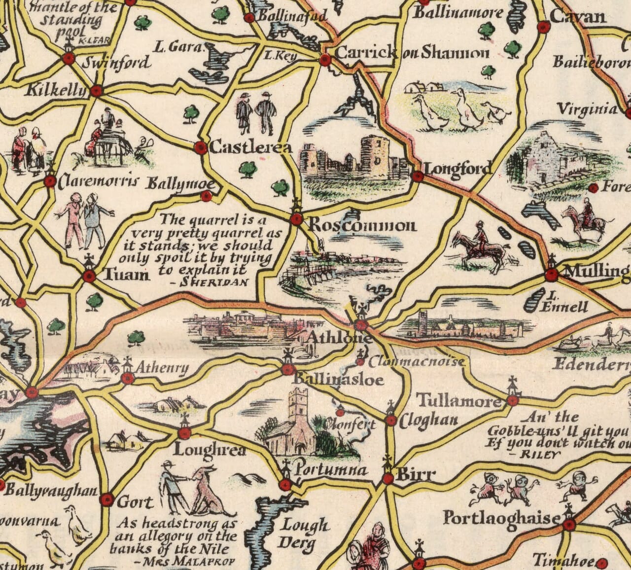
Kerry extends the journey through Tralee, Dingle and Killarney, then around the southern peninsulas towards Kenmare and Bantry. These are shown as places linked by roads but shaped by the sea. Across the south, Cork, Cobh and Waterford return attention to harbours and urban life. Inland, the Shannon connects a different sequence of places, including Athlone and Limerick, while Cashel and Kilkenny supply distinctive architectural stopping points among the smaller towns.

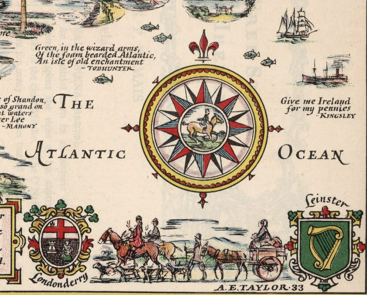
The decoration is part of the geography. Arms for the four provinces anchor the corners, while civic emblems and literary fragments invite a slower reading. Coaches, horses and a motor car share the margins, bringing older travel traditions into the motoring age. Taylor’s Ireland is deliberately selective: a memorable building, a familiar quotation or an amusing figure often receives more attention than technical detail. That selection gives the map its warmth. It can be enjoyed as a record of how Ireland was presented to travellers, but also as a personal landscape in which a family town, a favourite stretch of coast or a remembered holiday route suddenly comes into focus. Look closely and the practical road network becomes a framework for dozens of miniature scenes, each offering another reason to linger over a place that might otherwise be only a name.