Map Details
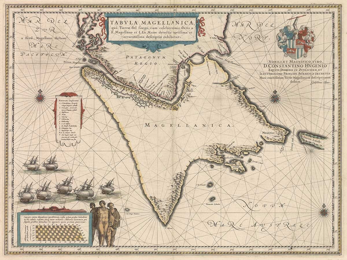
Original title: Tabula Magellanica, qua Tierrae del Fuego, cum celeberrimis fretis a F. Magellano et I. Le Maire detectis novissima et accuratissima descriptio exhibetur
Cartographer and publisher: Willem Janszoon Blaeu
Published: Amsterdam, 1635
Area shown: Tierra del Fuego, Cape Horn, the Strait of Magellan, Strait of Le Maire and the southern extremity of South America
Principal features: Cape Horn, Tierra del Fuego, Strait of Magellan, Strait of Le Maire, coastal settlements and anchorages
Decoration: Sailing ships, rhumb lines, compass roses, heraldic arms, ornamental cartouches and native figures
Technique: Copperplate engraving
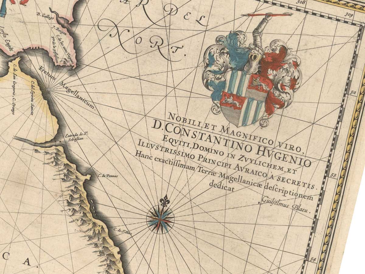
Dedication: Constantijn Huygens
Cape Horn on a Seventeenth-Century Map
Cape Horn had entered European geographical knowledge only a short time before Blaeu produced this map.
The cape was reached during the 1615–1616 voyage of Jacob Le Maire and Willem Schouten, whose expedition demonstrated that Tierra del Fuego was not attached to a vast southern continent in the way many earlier maps had suggested.
By 1635 Cape Horn had become an important feature of Dutch mapping of the extreme south of America.
Blaeu places it prominently at the lower end of Tierra del Fuego, making this an especially appealing map for anyone fascinated by the hazardous route that later generations of sailors would know simply as “rounding the Horn”.
The Strait of Magellan
Across the upper part of the map runs the long and intricate Strait of Magellan.
Ferdinand Magellan’s expedition had passed through the strait in 1520 during the first circumnavigation of the world. For more than a century afterwards it remained one of the great geographical landmarks of European maritime exploration.
Its twisting channels, islands and mountainous shores are carefully engraved by Blaeu, reflecting the enormous navigational importance attached to this passage between the Atlantic and Pacific.
The Strait of Le Maire
To the east of Tierra del Fuego the map records the Strait of Le Maire.
This alternative passage was discovered during the Dutch expedition of 1615–1616 and provided another route towards the waters south of Tierra del Fuego.
Its inclusion alongside the Strait of Magellan shows how quickly new discoveries were incorporated into seventeenth-century Dutch maps.
The map therefore captures a particularly interesting moment when European understanding of the southern tip of South America was still being revised.
Tierra del Fuego
Tierra del Fuego dominates the centre of the engraving.
Its coastline is much more detailed than its interior. Mountains crowd the shores, while the great central area remains largely empty.
This imbalance is revealing. Seventeenth-century European sailors could chart coasts and passages while knowing comparatively little about the land behind them.
The empty interior is therefore not simply decorative space; it is evidence of the limits of contemporary geographical knowledge.
Ships, Compass Roses and Rhumb Lines
The surrounding seas are among the most attractive parts of Blaeu’s composition.
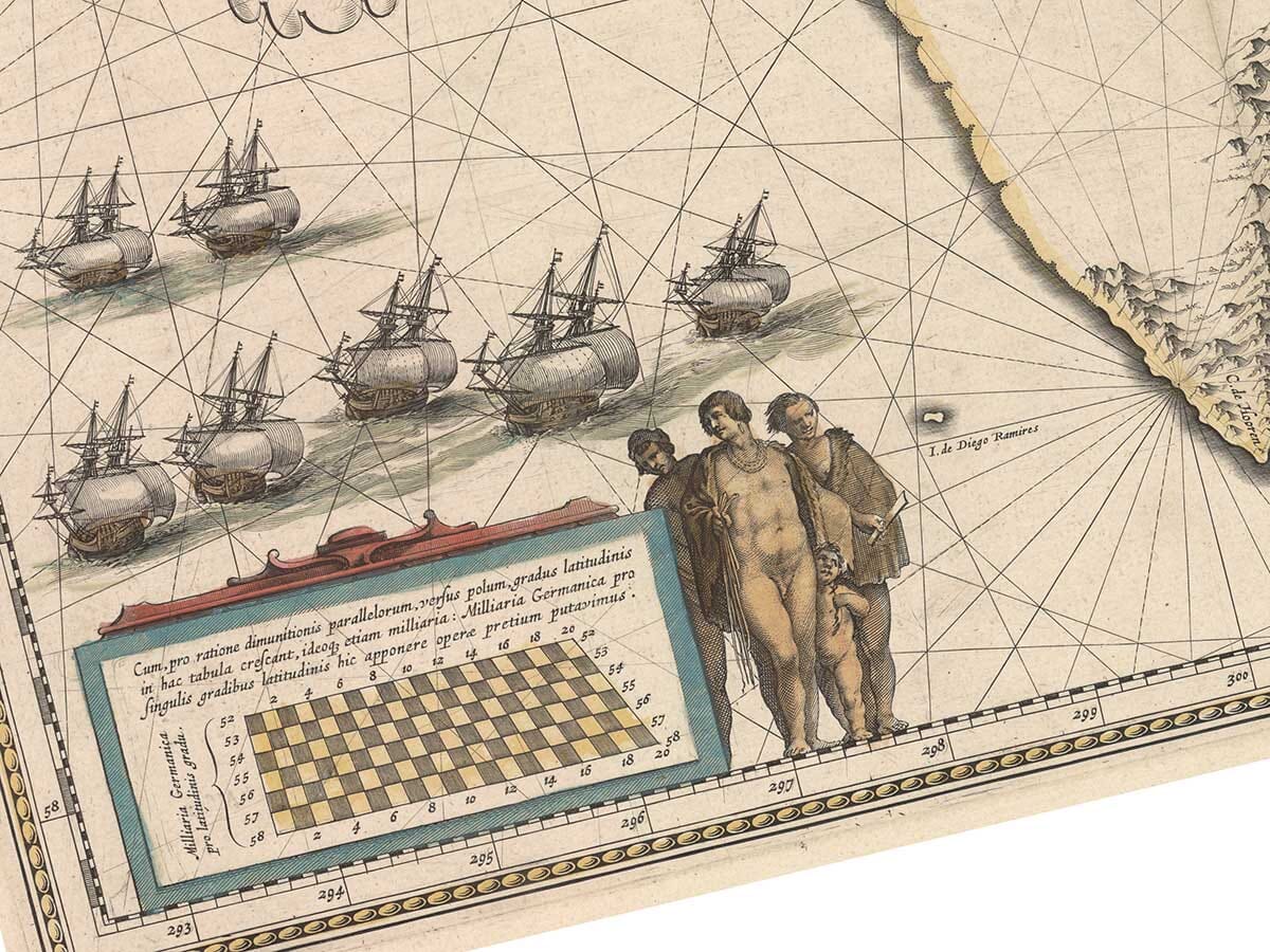
A fleet of sailing ships occupies the lower left of the map, while a network of rhumb lines spreads across the water from several finely engraved compass roses.
These features give the map the appearance of a navigational chart even though it was produced for an atlas.
They also remind us that this landscape was known to Europeans principally from the sea.
Dutch Exploration and the Blaeu Workshop
Willem Blaeu was one of the leading figures of Amsterdam’s seventeenth-century map trade.
He had studied astronomy and instrument making under Tycho Brahe before establishing his own publishing workshop in Amsterdam. His maps became renowned not only for their geographical content but also for their engraving, typography and decoration.
Tabula Magellanica appeared during the period when the Blaeu publishing house was developing into one of Europe’s greatest atlas businesses.
The sheet is dedicated to Constantijn Huygens, the influential Dutch diplomat, poet and scholar, whose coat of arms appears prominently on the map.
A Map from the Dutch Golden Age
By the 1630s Amsterdam had become one of the principal centres of European cartography.
Dutch trading and naval voyages were producing a constant stream of new geographical information, while publishers such as Blaeu transformed those reports into maps for an international audience.
Cape Horn, Tierra del Fuego and the two great straits made this region particularly compelling.
Few places better illustrate the combination of exploration, danger and geographical uncertainty that gives early maps their enduring fascination.





 Verified owner












