£35.55 – £59.95Price range: £35.55 through £59.95
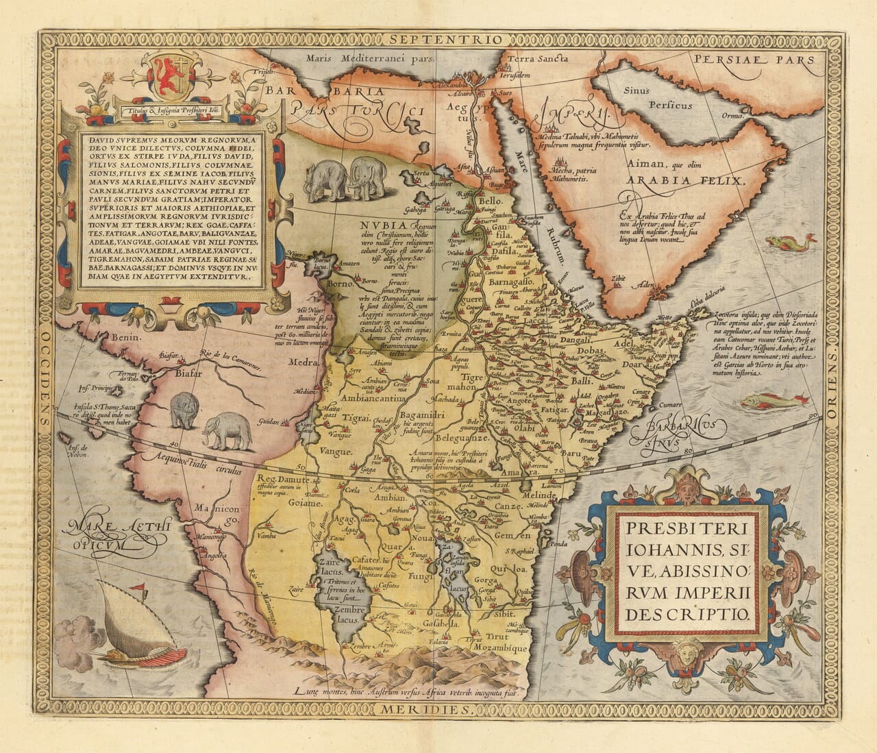
The Empire of Prester John by Abraham Ortelius, first published in 1573
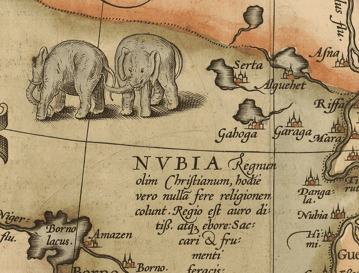
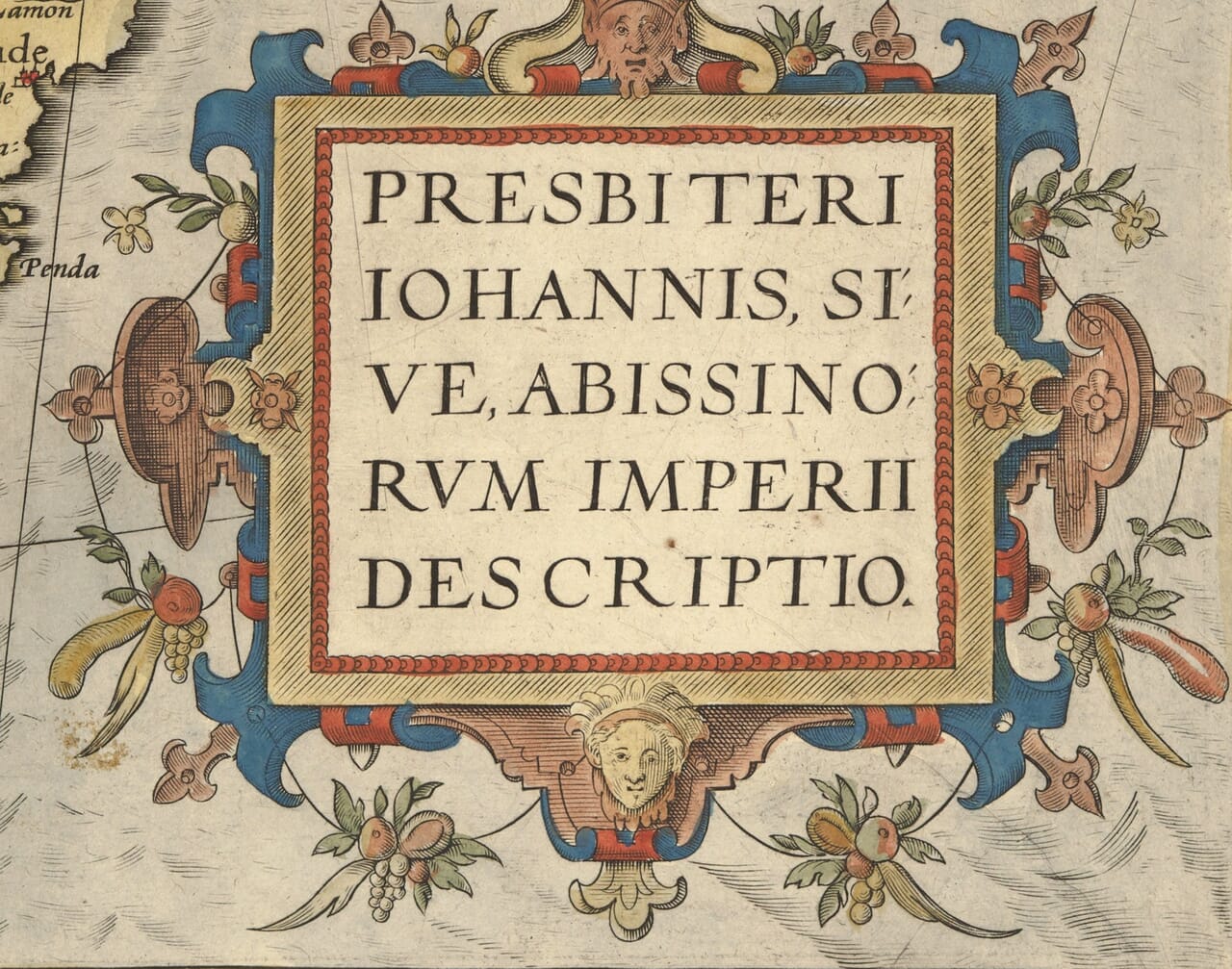
Elephants, sea creatures and ornate cartouches surround a remarkable Renaissance vision of Africa. Abraham Ortelius’s map places the legendary realm of Prester John across a vast interior, combining recognisable geography with accounts inherited from travellers and earlier writers. Its rich decoration and extraordinary subject make this reproduction an absorbing piece for anyone interested in early maps, African history or the meeting of geography and legend.
Size
UK delivery just £4.95 per order · International delivery available.
Unlike most online offerings, our maps are produced entirely in-house, not outsourced to print-on-demand or drop-shipping services. This allows complete control over quality while offering better value. Each map begins with a high-resolution original, carefully enhanced and printed to order using archival papers and pigment inks for exceptional clarity, depth, and longevity. Every piece is personally overseen — no map leaves our workshop unless it is of a quality we would be proud to display ourselves.
Paper choice is essential to the authenticity of our maps. We use specially sourced 190gsm paper made in the UK from pure materials and traditionally pressed with natural woollen felts. This process creates a subtle, randomly textured surface that closely resembles an original antique document. Likewise the use of premium quality ink fully saturates the paper, producing remarkable clarity, depth, and historical character. Colour fastness and sharpness will remain good for in excess of 100 years!
The Old Map Company of Great Britain offers a vast and carefully curated collection of the very finest expertly reproduced vintage maps. Our range includes works by renowned cartographers such as John Speed and Willem Blaeu, covering Scotland, England, and beyond. UK delivery is just £4.95 per order, with EU, USA, and worldwide shipping available at cost and calculated at checkout. If you need assistance, our team is always happy to help you choose the perfect map.
Speedy delivery A beautiful representation
Got there in time and loves it! Cheers David [Gift from US to UK]
Thanks Lauren. We received it today - it's gorgeous! Thank you, Ellan
Thank you for your prompt service. I have a gallery and framing business in South Wales. I'm so pleased it is printed in the UK
My Isles of Scilly map arrived safely and I'm delighted with it!
The print arrived safely and we're delighted with it - a lovely reminder of our honeymoon 15 years ago.
I have just received them! I'm sure our clients will be pleased with them and there could be more projects off the back of this one where we can use more. [Interior Designers]
I just received my map of Ireland by Ewart today and, as usual, I am delighted by its quality. The crispness and fineness of detail is excellent and the colour reproduction surpasses my expectations. Please relay my thanks to Steve for another fine effort!
Many thanks, Lauren. Very pleased with the map and the service: would recommend The Old Map Company to anyone interested in Old Maps.
Many thanks, the map arrived safely this morning, and I’m really pleased with it. A stunning reproduction, just as I had hoped. I will keep browsing your website, and may yet be tempted by more of your items! Have a great weekend.
Just arrived, wonderful map! Thanks very much!
The map – beautiful – arrived safely, very many thanks.
Thank you, I have already found the map. It’s wonderfull! Good luck! Rasa
My apologies for the very late reply. I wanted to reach out to thank you so much for rushing my order. My partner absolutely loved it. I am amazed with the service so that is a five-star from me. I wish you all the best.
First published in 1573 in Abraham Ortelius’s Theatrum Orbis Terrarum, this map reflects European attempts to locate the kingdom of Prester John. The legendary Christian ruler had long been associated with distant lands in Asia before the story became attached to Ethiopia. Ortelius’s map places that imagined empire within a much larger African setting than the historical Ethiopian kingdom.
The large inscription at upper left presents claims of royal descent, linking the ruler to biblical figures. Across the map, recognisable places sit beside uncertain inland geography and explanatory notes about distant peoples and kingdoms.
This is valuable evidence of how Renaissance Europeans understood regions for which they had limited direct information. Its appeal lies partly in that mixture: careful engraving and confident presentation preserve a world shaped by scholarship, travellers’ reports and enduring legend.
The design was first published in 1573 and reused in later atlas editions. The precise printing date of the source sheet has not been established.