Joan Blaeu’s Map of Historic Sussex
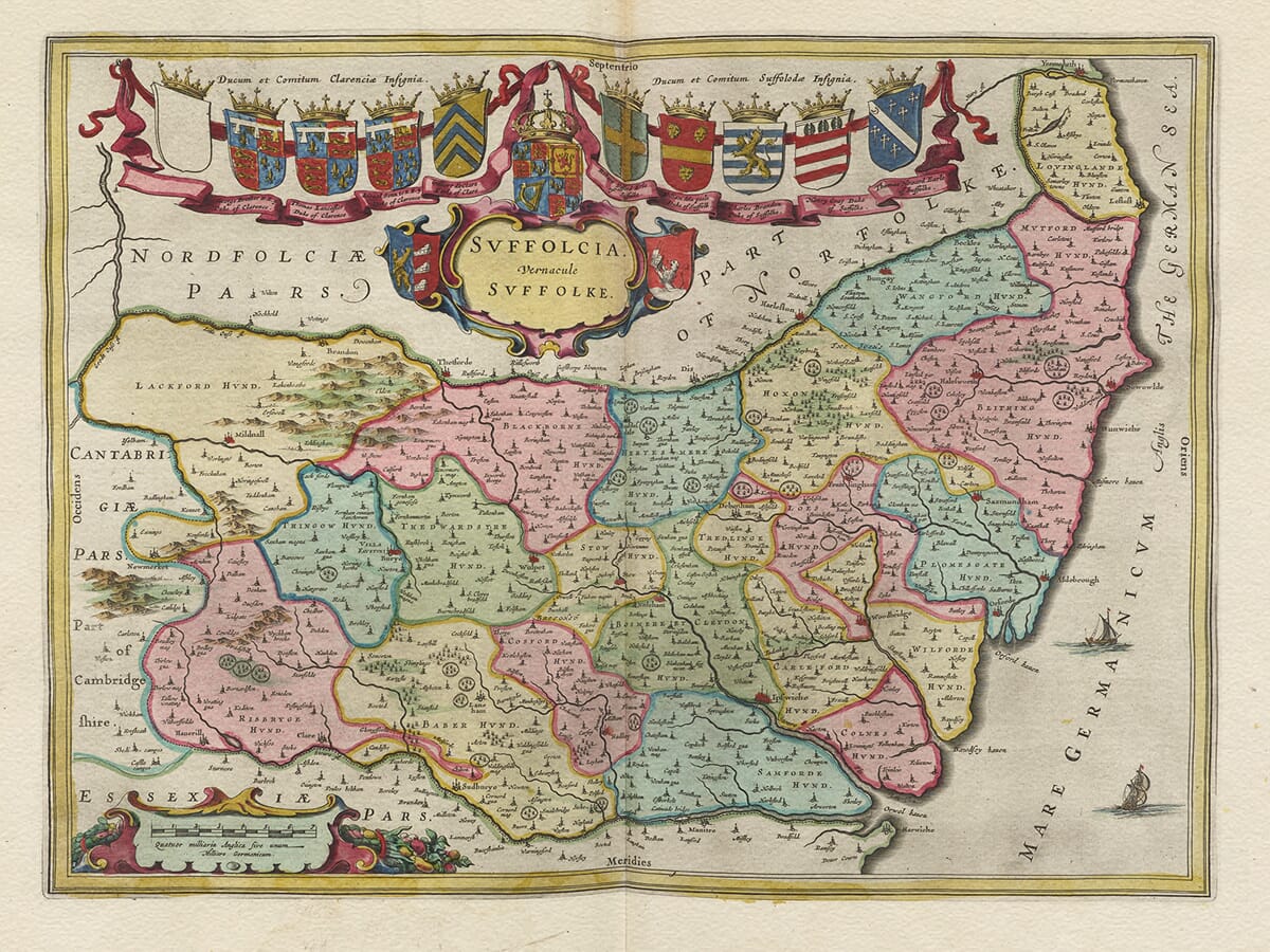
Joan Blaeu’s map of Sussex, Suthsexia Vernacule Sussex, was first published in Amsterdam in 1645. It appeared in the fourth volume of his Theatrum Orbis Terrarum, sive Atlas Novus, devoted to England and Wales.
The title combines a Latinised form of the county’s name with the familiar English “Sussex”. The map belongs to Joan Blaeu’s period as head of the family publishing house and should not be attributed to his father, Willem Blaeu, who had died in 1638.
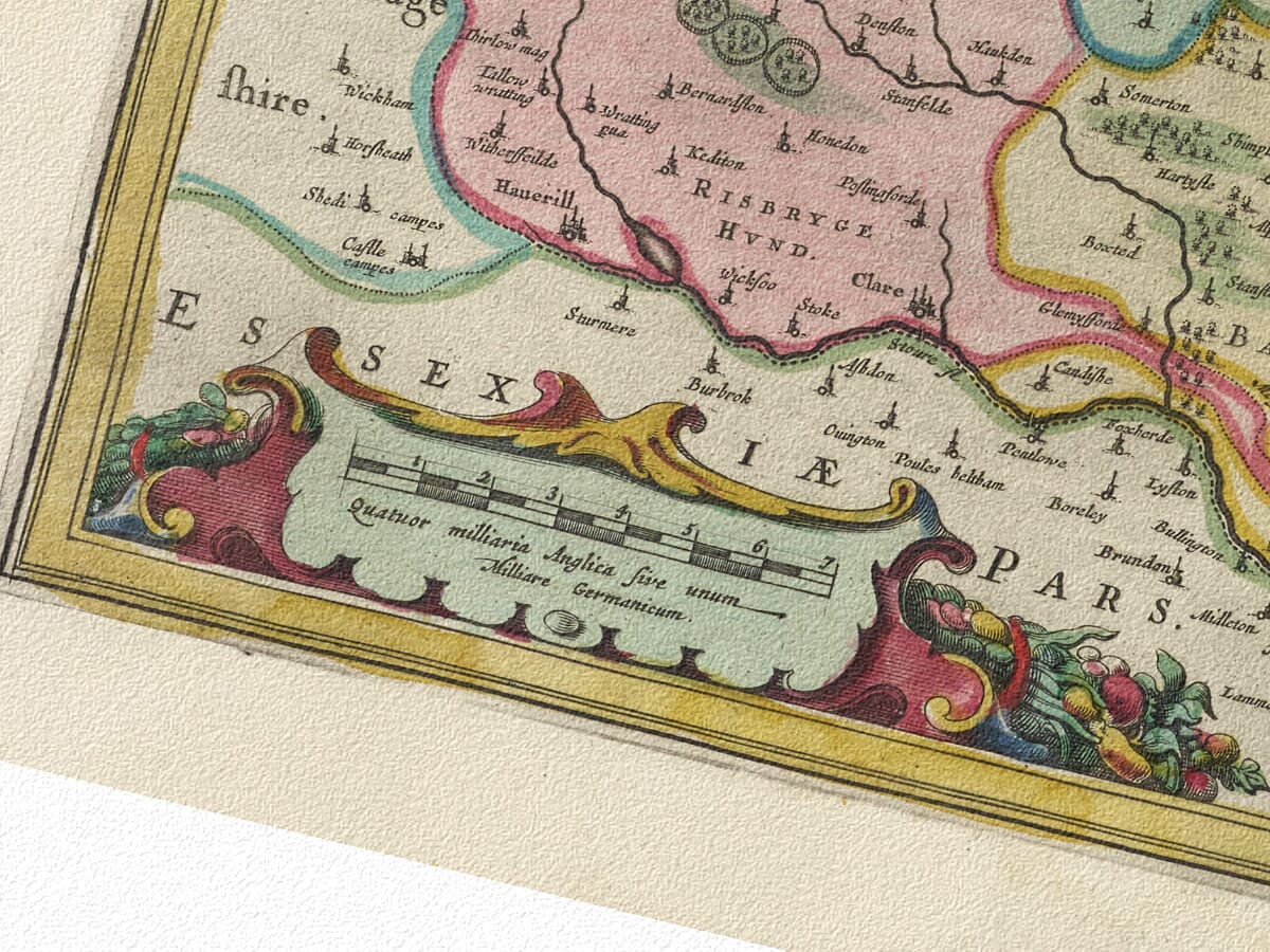
Joan continued expanding the atlases begun by his father and developed the business into one of the most prestigious cartographic workshops in seventeenth-century Europe. Blaeu maps were admired for their large format, elegant engraving, carefully arranged typography and elaborate decorative features.
From John Speed to Joan Blaeu
Blaeu did not commission a new survey of Sussex. The geographical information was based principally upon earlier English county mapping, particularly John Speed’s map of Sussex and the surveying tradition established by Christopher Saxton.
Blaeu’s engravers refined and reorganised this inherited material for an international atlas. Familiar towns, rivers and coastal features were combined with ornamental cartouches, heraldic arms and ships to create a map intended to be both informative and visually impressive.
Our old map of Sussex by John Speed provides an interesting comparison with the earlier English map from which much of Blaeu’s geographical information was derived.
The Blaeu copperplate remained in use after its first appearance. Original examples may consequently have Latin, French, Dutch or German text printed on the reverse and may bear a date later than 1645. The Sussex map subsequently appeared in Blaeu’s monumental Atlas Maior during the 1660s.
Sussex Before Its Modern Division
Blaeu depicts Sussex as one historic county stretching along the English Channel from Hampshire in the west to Kent in the east. Surrey forms its northern boundary, while the county’s long southern edge faces the sea.
The modern administrative distinction between East and West Sussex did not exist in its present form. Historically, the county was divided into six distinctive territories known as rapes: Chichester, Arundel, Bramber, Lewes, Pevensey and Hastings. Each rape was further divided into hundreds and traditionally extended from the northern interior towards the coast.
Chichester appears prominently in the west as the county’s cathedral city. Arundel, Midhurst, Petworth and Horsham can also be identified, while farther east the map records Lewes, Brighton—then still a comparatively small coastal settlement—Pevensey, Eastbourne, Battle, Hastings, Winchelsea and Rye.
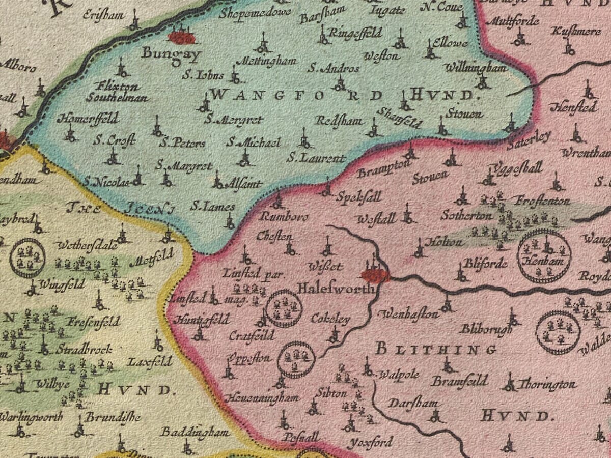
Numerous villages and smaller communities are marked by conventional building or church symbols. Their names sometimes appear in unfamiliar historic spellings, reflecting both the period’s variable spelling and the sources available to Blaeu’s Amsterdam workshop.
The map is not a modern measured survey. Roads are not systematically recorded, settlements are represented symbolically and hills are shown pictorially rather than through measured contours. It should therefore be read as a seventeenth-century interpretation of Sussex rather than as an exact record of every landscape feature.
The Downs, the Weald and the Coast
Sussex contains several markedly different landscapes. The chalk ridge of the South Downs runs across much of the county, overlooking a coastal plain that broadens towards the west. To the north lies the Weald, historically an extensive region of woodland, enclosed farmland and scattered settlements.
The Weald was also an important centre of iron production. Its supplies of iron ore, water and woodland fuel supported furnaces and forges, particularly during the sixteenth and seventeenth centuries. Sussex iron was used for domestic goods, tools, architectural work and armaments. Blaeu does not identify individual industrial sites systematically, but his wooded representation of the interior evokes the landscape in which the industry developed.
Along the coast, ports and havens connected Sussex with London, the English Channel and continental Europe. Chichester Harbour, Shoreham, Newhaven, Hastings, Winchelsea and Rye all had maritime importance, although shifting shingle, silting and changes in the coastline affected their fortunes.
The ships engraved across the Channel are decorative rather than records of particular vessels. Nevertheless, they reinforce Sussex’s maritime identity and its position facing France and the Low Countries.
Sussex in 1645
The map appeared during the First English Civil War. Sussex contained supporters of both Parliament and the King, and its castles, ports and routes towards London gave the county strategic importance.
Arundel Castle changed hands during the conflict. Royalist forces occupied it in 1643, after which Parliamentarian troops besieged and recaptured it in January 1644. These events occurred shortly before Blaeu’s map was published, but the engraving was not designed as a military record and shows no campaigns or troop movements.
Instead, it presents a composed image of Sussex’s enduring towns, rivers, woodlands and coastline during a period of considerable political disruption.
Heraldry and Maritime Decoration
Blaeu’s map is distinguished by its decorative cartouches and heraldic display. The royal arms of Charles I appear on one side, balanced by the historic three-lions arms of England on the other. Four additional coats of arms represent families associated with the county.
Numerous sailing ships animate the English Channel and balance the long east-to-west shape of Sussex. These features, together with the ornamental title cartouche and finely engraved lettering, transform the historic county map into an artwork suitable for the libraries of Blaeu’s prosperous seventeenth-century customers.
Original impressions were printed from the copperplate in black ink, with colour subsequently applied to selected examples. Today, Blaeu’s map offers a fascinating picture of Sussex before railways, seaside resorts and modern development transformed much of its coast and countryside.





 Verified owner