Joan Blaeu’s Map of Historic Staffordshire
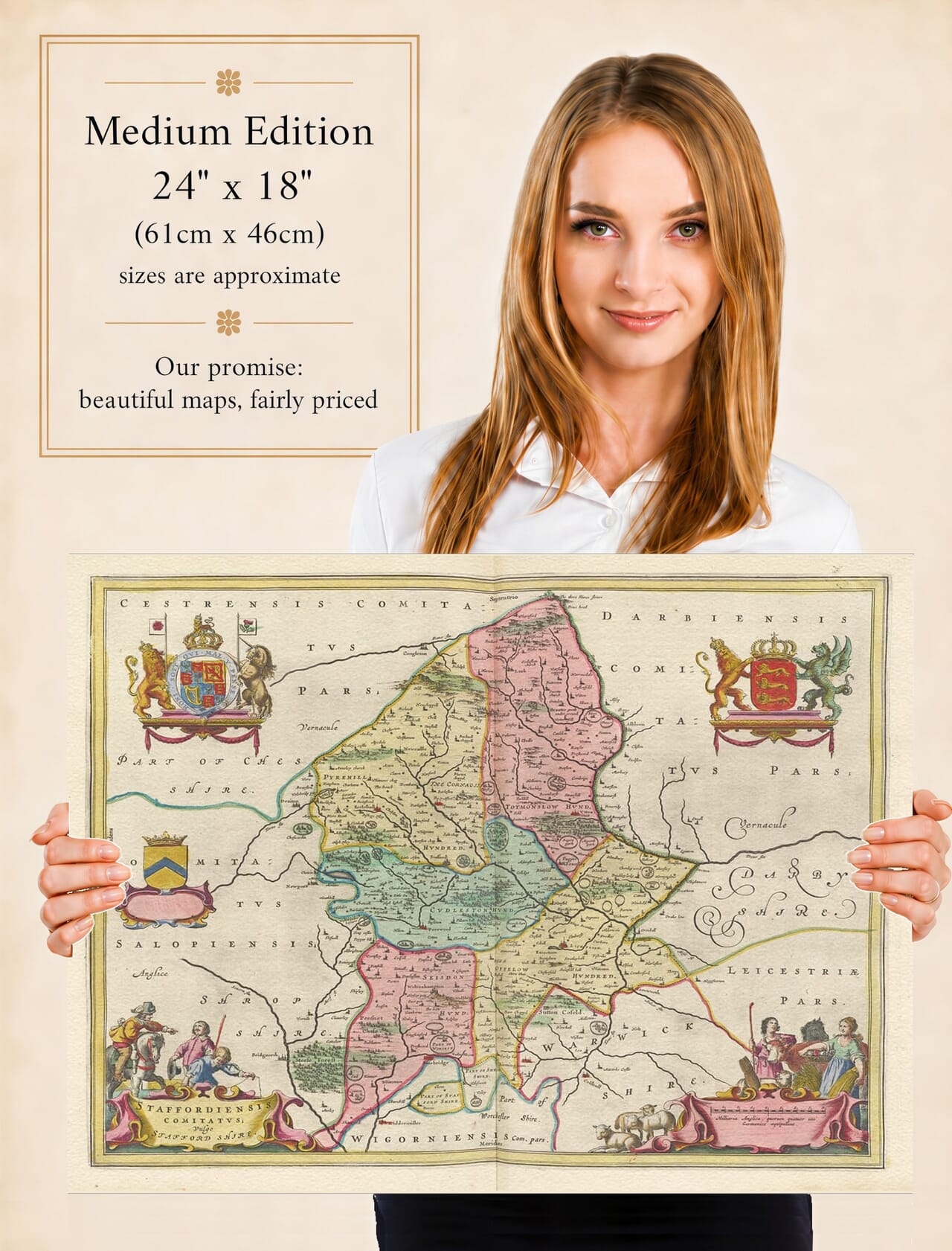
Joan Blaeu’s map of Staffordshire, entitled Staffordiensis Comitatus; vulgo Stafford Shire, was first published in Amsterdam in 1645. It formed part of the fourth volume of his Theatrum Orbis Terrarum, sive Atlas Novus, devoted to England and Wales.
The Latin word vulgo means “commonly” or “in the common language,” so the title may be understood approximately as “The County of Stafford, commonly called Stafford Shire.”
The present product description attributes the engraving to William Blaeu, but William died in 1638. The English county volume was completed and published while his son Joan Blaeu was directing the family workshop, making Joan the correct attribution.
Staffordshire Before Industrial Transformation
The historic county shown by Blaeu was considerably more extensive than the modern administrative area. It included places now associated with Stoke-on-Trent and the West Midlands, including Wolverhampton, Walsall and much of the later Black Country.
Stafford occupies a central position as the county town. Lichfield appears to the southeast, while other recognisable places include Tamworth, Burton upon Trent, Newcastle-under-Lyme, Leek, Uttoxeter, Eccleshall, Cannock and Penkridge.
The communities that later developed into the Potteries are present only as comparatively small settlements. Stoke, Burslem and neighbouring villages had not yet merged into the dense urban and industrial landscape that eventually became Stoke-on-Trent.
Similarly, Wolverhampton and Walsall were established market and manufacturing communities but had not undergone the enormous expansion associated with the Industrial Revolution. Blaeu’s engraving therefore captures Staffordshire before pottery factories, canals, railways, mines and ironworks transformed much of the county.
Rivers, Moorlands and Chase
The River Trent is one of the map’s most important geographical features. Rising in northern Staffordshire, it flows southeast across the county and passes near Stone, Rugeley and Burton. Tributaries including the Sow, Tame, Churnet and Dove help organise the surrounding landscape.
Northern Staffordshire is represented as a country of hills and higher ground approaching the southern Pennines. The Staffordshire Moorlands and the countryside around Leek contrast strongly with the lower Trent Valley and the more gently undulating centre of the county.
Cannock Chase forms another distinctive landscape. Historically it was a royal forest and hunting ground rather than uninterrupted woodland in the modern sense. Its mixture of heath, woodland and grazing was governed by forest customs and rights that had developed over centuries.
Blaeu depicts hills through conventional shaded profiles and woodland through groups of individually engraved trees. These symbols create an attractive impression of the landscape but were not based upon scientifically measured elevation or vegetation surveys.
Roads are not shown systematically, and distances should be treated as approximate. Towns and villages are represented by pictorial symbols whose size may indicate their perceived importance rather than their precise extent.
Agriculture, Industry and Market Towns
Seventeenth-century Staffordshire remained predominantly rural, with agriculture, livestock and local markets supporting most communities. Estates, manor houses and parish churches formed important centres within its densely settled countryside.
Industry was already present, although on a much smaller scale than in later centuries. Coal and ironstone were worked in parts of the county, metal goods were produced around several southern towns, and pottery had long been made from the local clays of northern Staffordshire.
The great expansion of the Staffordshire pottery industry associated with Josiah Wedgwood and other eighteenth-century manufacturers still lay far in the future. Likewise, the canals that connected the Potteries and Black Country with national markets did not yet cross Blaeu’s landscape.
Burton upon Trent was already known for its position on the river and its long-established religious and commercial importance, although its later international association with large-scale brewing had yet to develop fully.
Staffordshire and the Civil War
The publication date places the map amid the First English Civil War. Staffordshire’s central position and its routes between the Midlands and northern England made control of its towns strategically important.
The county’s most significant pitched engagement was the Battle of Hopton Heath, fought near Stafford on 19 March 1643. Royalist and Parliamentarian forces contested the field, and the Royalist commander, the Earl of Northampton, was killed. Although both sides claimed success, the battle did not produce a decisive settlement.
Lichfield endured particularly destructive fighting. Its fortified Cathedral Close changed hands during a succession of sieges, and the cathedral suffered extensive damage. Its prominent position on Blaeu’s map gives no indication of the devastation occurring there during the 1640s.
The engraving was not designed as a military map and does not record these campaigns. Instead, it presents the county’s lasting towns, rivers and landscapes, offering a composed geographical image of a region experiencing considerable disruption.
Cartouches and the Blaeu Style
Joan Blaeu did not personally survey Staffordshire. The geographical content was based largely upon earlier English cartography, including the county mapping traditions of Christopher Saxton and John Speed. Blaeu’s workshop refined and re-engraved this inherited information for an international atlas audience.
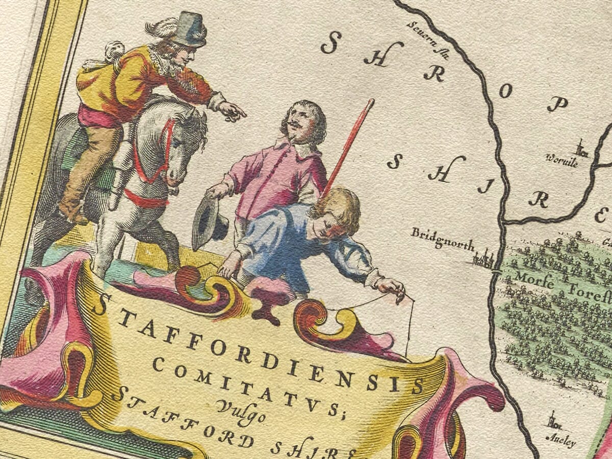
The title and scale occupy two ornate cartouches positioned in the lower corners. Decorative figures and scrollwork soften the formal geometry of the engraved frame, while heraldic arms give the map a ceremonial quality.
The plate appeared again in later editions of Blaeu’s atlases and was incorporated into the Atlas Maior during the 1660s. Original examples may consequently carry Latin, French, Dutch, German or Spanish text on the reverse.
Printed from a copperplate, the map combines fine geographical linework with elaborate decorative engraving. Colour was added separately to selected impressions, so surviving originals vary according to their edition and subsequent history.
Blaeu’s map remains a compelling portrait of Staffordshire before industrialisation reshaped its towns, transport routes and countryside. It is both an important historical record and an accomplished example of seventeenth-century Dutch cartography.





 Verified owner