Joan Blaeu’s Map of Historic Rutland
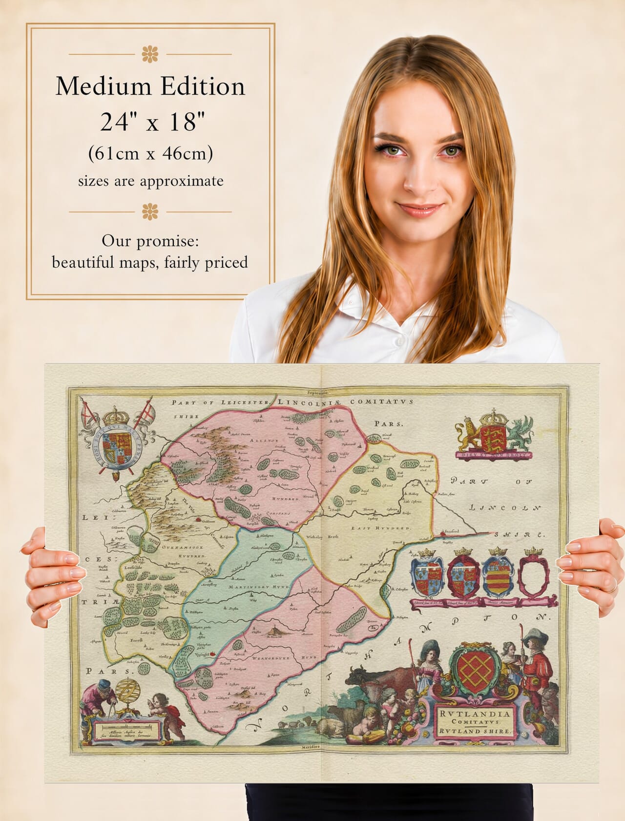
Joan Blaeu’s map of Rutland, entitled Rutlandia Comitatus. Rutland Shire, was first published in Amsterdam in 1645. It appeared in the fourth volume of his Theatrum Orbis Terrarum, sive Atlas Novus, which was devoted to England and Wales.
Although the Blaeu family publishing house had been established by Joan’s father, Willem Blaeu, Willem died in 1638. The English county volume and its Rutland map were produced during Joan Blaeu’s direction of the business and should therefore be attributed to him.
The map later appeared in further editions of Blaeu’s atlases, including the monumental Atlas Maior of the 1660s. Original examples may consequently be found with Latin, French, Dutch, German or Spanish text on the reverse, depending upon the edition from which they were removed.
England’s Smallest Historic County
Rutland has traditionally been described as England’s smallest historic county. It is surrounded by Leicestershire, Lincolnshire and Northamptonshire, with the River Welland forming part of its southern boundary.
Despite its modest size, Rutland retained a strong and recognisable county identity. Oakham was its administrative and market centre, while Uppingham served as another important market town. Both are given prominence on Blaeu’s map, surrounded by a close network of villages and rural communities.
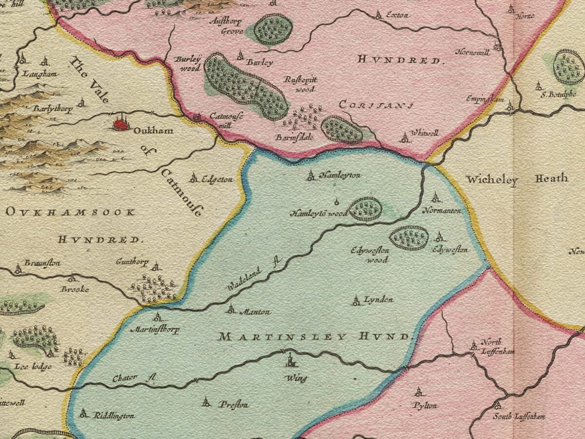
Among the settlements that can be explored are Empingham, Exton, Cottesmore, Market Overton, Ketton, Lyddington and North and South Luffenham. Historic spellings frequently differ from those used today, offering an additional point of interest for local and family-history research.
The landscape is organised by waterways including the Welland, Gwash and Chater. Woodland and higher ground are represented pictorially, using clusters of individually engraved trees and shaded hill symbols rather than the measured contours of modern mapping.
One particularly striking difference is the absence of Rutland Water. The reservoir was created more than three centuries after Blaeu’s map was published, flooding part of the Gwash valley west of Empingham. The seventeenth-century engraving therefore preserves the earlier arrangement of villages, rivers and farmland before this major modern transformation.
Mapping Rutland in the Seventeenth Century
Blaeu did not undertake a new survey of Rutland. The geographical content of his English county maps was based largely upon earlier English cartography, particularly the work associated with Christopher Saxton and John Speed.
Blaeu’s contribution was to refine and re-engrave this inherited information in the accomplished style of his Amsterdam workshop. Clear lettering, pictorial landscape symbols and carefully balanced ornament gave the map a distinctive appearance suitable for an expensive European atlas.
The result should not be read as a modern measured survey. Roads are not shown systematically, distances are approximate and the relative importance of settlements is sometimes suggested by their pictorial symbols. Nevertheless, the map provides an absorbing record of how Rutland and its neighbouring countryside were understood during the early seventeenth century.
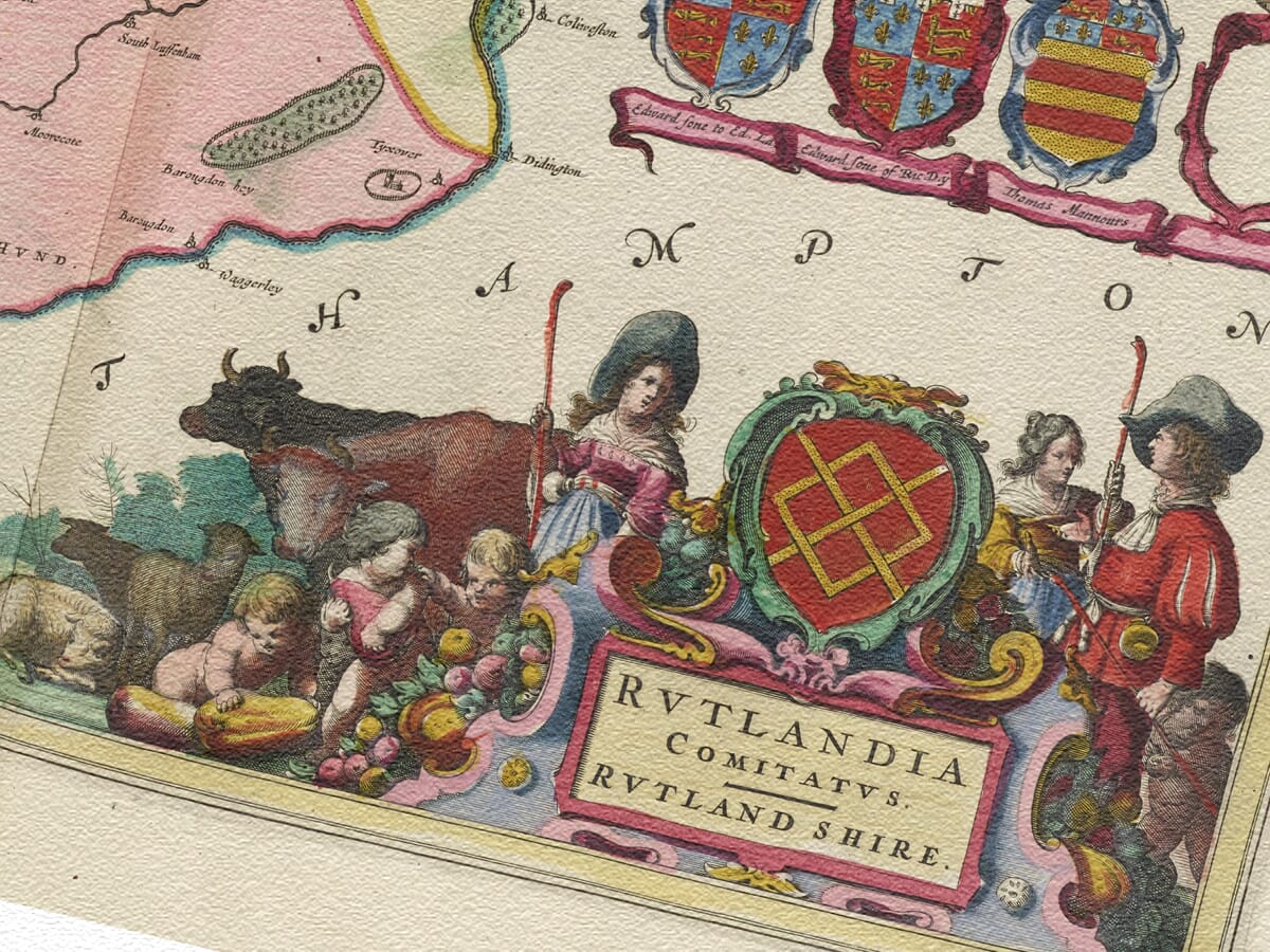
The county depicted was overwhelmingly rural. Its economy rested upon agriculture, livestock, local markets and the estates surrounding its villages. The ornamental produce around the title cartouche reflects this agricultural identity and gives the decoration a particular connection with the county being portrayed.
Oakham’s importance extended beyond its market. Oakham Castle, with its surviving medieval hall, had long been associated with the administration of the county. Uppingham also developed as a market and educational centre; its grammar school had been founded in the sixteenth century by Archdeacon Robert Johnson, who also established a school at Oakham.
Rutland in the Year 1645
The map was published during the First English Civil War. By 1645 conflict had affected much of the English Midlands, and the routes surrounding Rutland connected strategically important places including Leicester, Stamford, Newark and the Parliamentarian eastern counties.
Blaeu’s map was not intended to document military campaigns. It contains no moving armies or record of changing allegiances, instead presenting the county as an ordered and enduring landscape. That contrast between the composed appearance of the engraving and the instability of contemporary England is part of its historical fascination.
For the European owners of Blaeu’s atlas, Rutland would have appeared as one component of a comprehensive visual survey of England and Wales. The inclusion of such a small county demonstrates the ambitious geographical coverage of the publication.
Cartouches and Heraldic Decoration
The decorative treatment is particularly impressive for a map of such a compact county. Its substantial title cartouche incorporates agricultural produce, while a separate scale allows distances to be interpreted according to the conventions of the period.
Royal heraldry and a group of armorial shields connect the county with monarchy, noble titles and historic landownership. These features were not merely additions to empty space: they helped make Blaeu’s county maps desirable objects for display, scholarship and collecting.
The geography and ornament were engraved together on a copperplate and printed in black ink. Colour was applied separately to selected impressions, so surviving original maps vary in appearance according to their edition and later history.
Blaeu’s
Rutlandia Comitatus remains both a decorative work of Dutch Golden Age cartography and an engaging record of England’s smallest historic county. Familiar settlements can still be recognised, but they appear within a rural landscape untouched by railways, modern roads, extensive development or the waters of the present reservoir.





 Verified owner