Joan Blaeu’s Map of Historic Oxfordshire
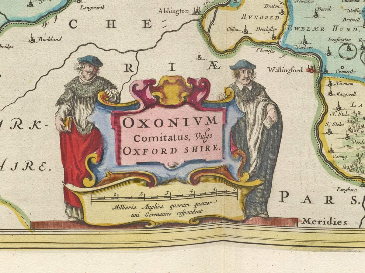
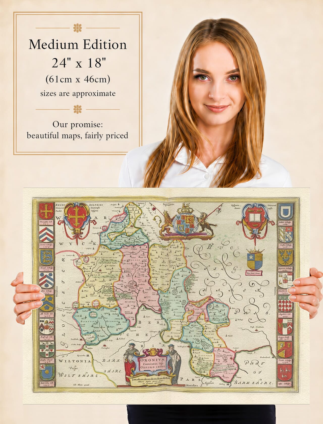
Joan Blaeu’s map of Oxfordshire was first published in Amsterdam in 1645 as part of the fourth volume of his Theatrum Orbis Terrarum, sive Atlas Novus. Its engraved title, Oxonium Comitatus, Vulgo Oxford Shire, may be translated approximately as “The County of Oxford, commonly called Oxfordshire.”
The map belonged to Blaeu’s celebrated collection of English and Welsh county maps. These substantial copperplate engravings combined established geographical information with elaborate cartouches, heraldry and carefully arranged typography. The Oxfordshire plate is especially notable for the university and college arms that form decorative borders along both sides.
Joan Blaeu and His English County Maps
Joan Blaeu inherited the family publishing house following the death of his father, Willem Blaeu, in 1638. Under Joan’s direction, the Amsterdam workshop greatly expanded its atlas production and became one of the foremost cartographic establishments of the Dutch Golden Age.
This Oxfordshire map belongs to the county volume published under Joan’s leadership and should therefore be attributed to him rather than to Willem. Blaeu did not conduct a new survey of the county. Its geographical content was based principally upon earlier English mapping, particularly the surveys of Christopher Saxton and the county map subsequently published by John Speed.
Blaeu’s engravers refined and re-presented this inherited material in the distinctive decorative style of the Amsterdam workshop. The copperplate remained in use for later atlas editions and was eventually incorporated into the monumental Atlas Maior. Surviving originals may consequently carry Latin, French, Dutch or German text on the reverse.
Oxfordshire and Its County Town
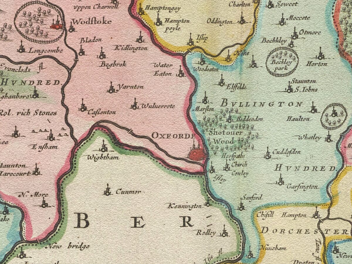
Oxford occupies the central position on the map at the meeting of the Thames and Cherwell. The Thames is traditionally known as the Isis as it passes through Oxford, although the name and its precise usage have varied over time.
By the seventeenth century Oxford was both an established market town and one of Europe’s most important centres of learning. The university shaped the town’s architecture, economy and social life, while its colleges owned estates and property across Oxfordshire and beyond.
Banbury appears in the north of the county near the principal route towards Warwickshire. Woodstock, Witney, Burford and Chipping Norton represent important communities in the west, while Bicester, Thame and Henley-on-Thames appear farther east and southeast.
Blaeu also records numerous villages, parks and estates through conventional engraved symbols. Historic spellings frequently differ from their modern forms, allowing familiar places to be viewed through seventeenth-century eyes.
The boundaries shown are those of historic Oxfordshire and differ from the modern ceremonial county. Abingdon and the Vale of White Horse, for example, belonged historically to Berkshire and did not become part of Oxfordshire until the local government changes of 1974.
Rivers, Hundreds and Rural Landscape
The Thames is the map’s principal waterway, entering the western part of the county before passing Oxford and continuing towards the Berkshire boundary. The Cherwell approaches Oxford from the north, while numerous smaller rivers and streams structure the surrounding landscape.
Oxfordshire’s historic hundreds are indicated on the map. These administrative divisions had medieval origins and were used for taxation, justice and local organisation, although their practical importance varied over time.
The county contained a mixture of arable land, pasture, woodland, parks and market communities. The Cotswold landscape influenced the northwest, while the Chiltern Hills shaped the southeast. Farming, wool production, estate management and the markets of Oxford and the smaller towns formed important parts of the county economy.
Blaeu represents hills through pictorial profiles rather than measured contours, while woodland appears as groups of individual trees. Roads are not systematically recorded, so the map should not be interpreted as a modern travelling map or scientific survey.
Oxford During the Civil War
The publication year gives the map exceptional historical significance. During the First English Civil War, Oxford became the principal Royalist capital after King Charles I left London.
From 1642, the King established his court and government in the city. The university supported the Royalist cause, and colleges were used to accommodate courtiers, officials and soldiers. Oxford’s printing presses produced Royalist proclamations and political material, while the city’s position and defences made it a centre of military planning.
A rival Parliament assembled at Oxford in 1644, although it did not replace the Parliament sitting at Westminster. By 1645, when Blaeu’s map was first published, the Royalist cause was under increasing pressure following Parliament’s victory at Naseby.
Oxford was surrounded by Parliamentarian forces in 1646 and surrendered in June of that year. Blaeu’s map was not created as a military document and does not depict these events. Nevertheless, its publication coincided with the period when Oxford stood at the centre of Royalist England.
University Arms and Decorative Cartography
The map’s heraldic display distinguishes it from almost every other plate in Blaeu’s county series. Sixteen coats of arms belonging to Oxford colleges are arranged down the sides of the map, visually connecting the geography of Oxfordshire with the university’s institutions.
Additional heraldry includes the Royal Arms, the arms of Oxford University and the county, together with arms traditionally attributed to King Alfred. Alfred lived centuries before the development of formal heraldry, but later tradition associated him with the foundation of the university—an attribution no longer accepted as historical fact.
The title and scale are enclosed within a large cartouche supported by two scholars in formal dress. These figures reinforce Oxford’s identity as a centre of scholarship and give the map a character uniquely suited to its subject.
Today Blaeu’s engraving offers a compelling portrait of Oxfordshire before canals, railways and modern urban development transformed the county. It remains both a valuable historical record and one of the most impressive university-themed examples of seventeenth-century decorative cartography.





 Verified owner